ADELAIDE AVENUE
Freeway grade road in Canberra
Adelaide Ave looking west from Hopetoun Cct, Deakin. Photo taken October 2004.
Length: 3km
Eastern Terminus: State Circle, Capital Hill
Western Terminus: Yarra Glen & Cotter Rd, Deakin
Rotue Numbers: Touris Drive 5
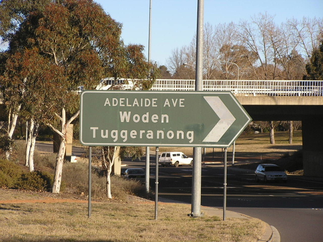
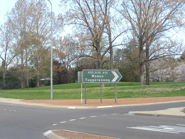
Focal Points: City, Woden/Tuggeranong
Constructed:
1950's - State Circle to Kent St (at-grade)
late 1960's - Extended to join the newly constructed Yarra Glen and interchanges constructed
Route Overview:
Adelaide Ave is a short freeway grade road in the inner south of Canberra, acting as a distibutor from the two circular roads around Parliament House. The road was constructed initially in the early 1950's as an arterial road servicing the new suburbs of Yarralumla and Deakin. In conjunction with construction of the new town centre of Woden (1964) Adelaide Ave was upgraded to freewat standard and extended south as Yarra Glen to Woden. Since then the only upgrades have been bus lanes which were constructed in 2003-04 to carry express buses from Woden to the City in the absence of heavy rail.
Photos of Adelaide Ave |
|
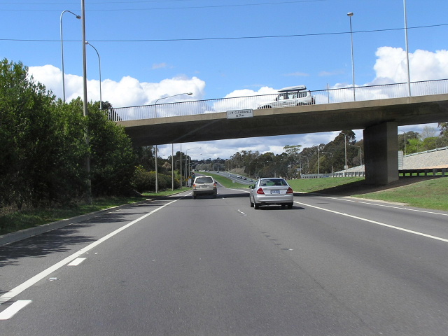 |
The beginning of Adelaide Ave, where Cotter Rd merges with Yarra Glen. This photo is looking east beneath Kent St. Photo taken October 2004. |
 |
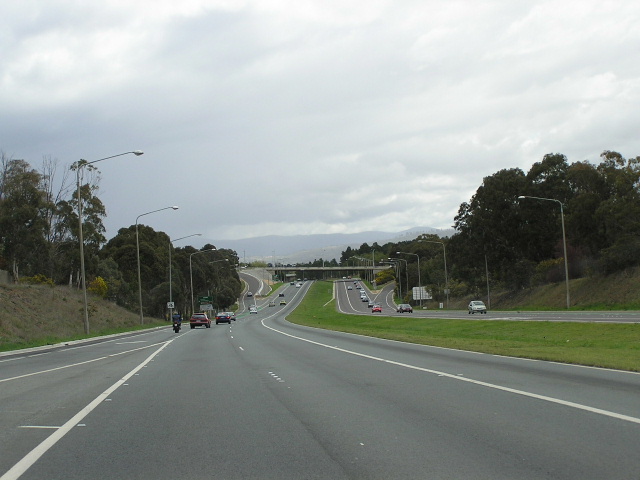
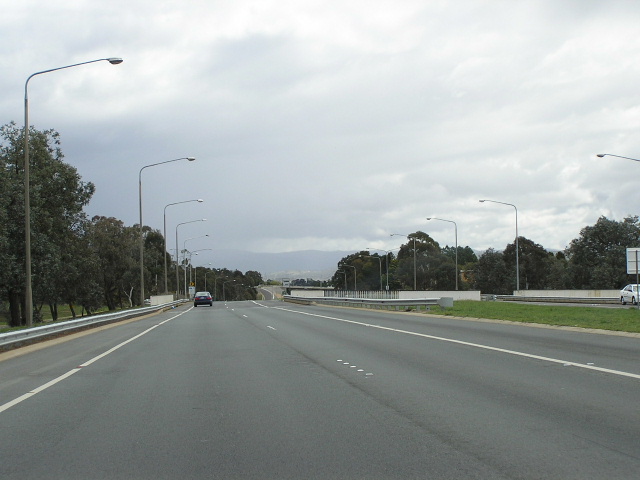
Looking east from the Kent St onramp. Photo taken October 2004. |
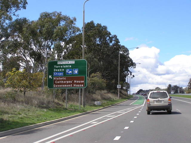 |
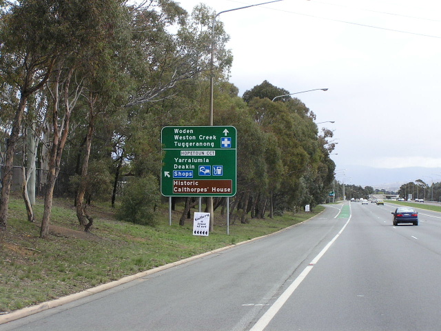
Hopetoun Cct exit sign. Photo taken October 2004. |
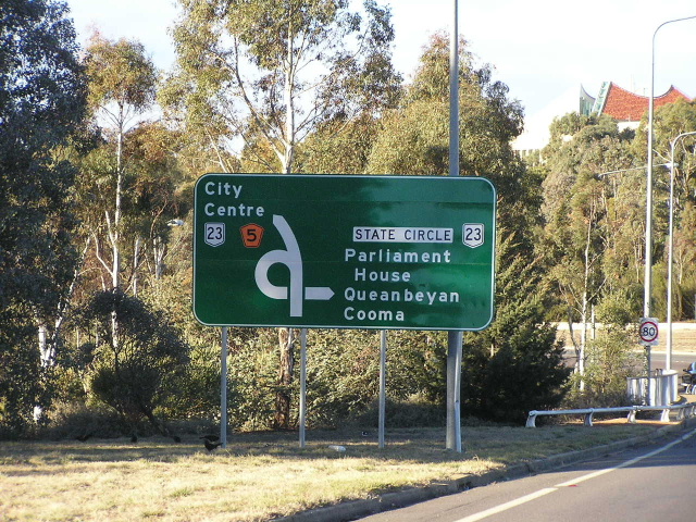 |
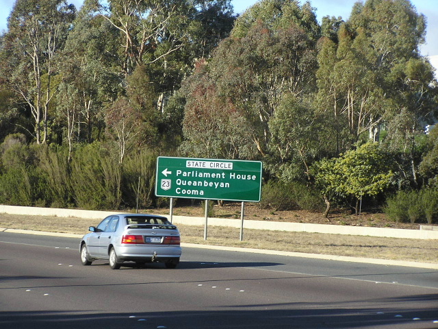
The end of Adelaide Ave now, you can either go to the city or towards Queenbeyan via NR23. Photo taken October 2004. |
 |
State Circle cloveleaf ramp ID sign. Photo taken October 2004. |
 |
Very old sign on State Circle for Adelaide Ave. Photo taken October 2004. |
 |
Anorth black sign at the same intersection. Photo taken October 2004. |
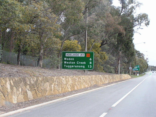 |
Adelaide Ave RD sign. Photo taken October 2004. |
 |
Hopetoun Cct exit AD. Photo taken October 2004. |
 |
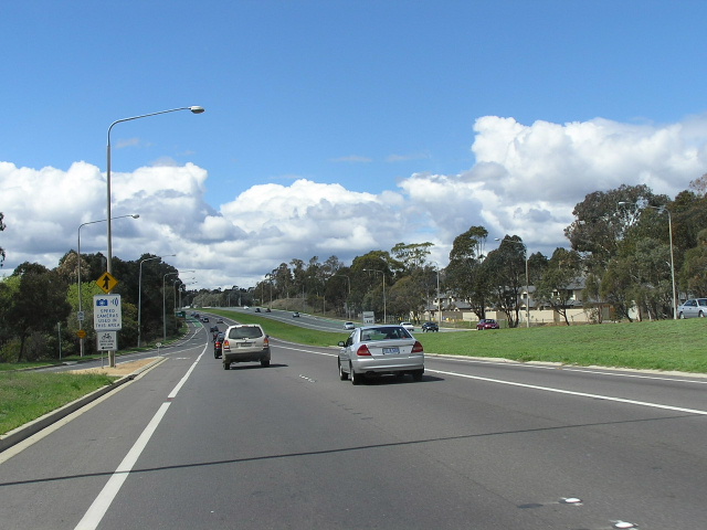
Looking west across Hopetoun Cct. Photo taken October 2004. |
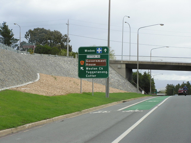 |
AD sign for Cotter Rd offramp. Adelaide Ave becomes Yarra Glen here. Photo taken October 2004. |
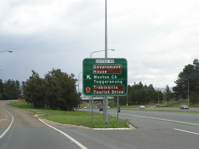 |
ID sign for Cotter Rd at the western end of Adelaide Ave. Photo taken October 2004. |