THARWA DRIVE
Looking north in Banks, showing the wide reservation for widening of the road to 4 or 6 lanes, October 2004
Length: 12km
Northern Terminus: Monaro Hwy & Johnson Dr
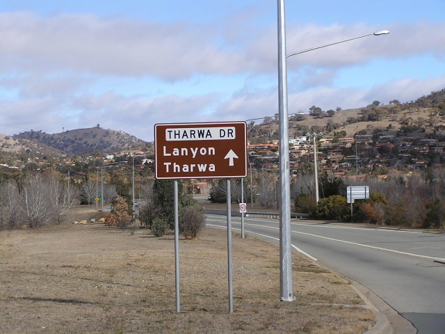
Southern Terminus: North St & Tharwa St, Tharwa
Route Numbers: Tourist Drive 5
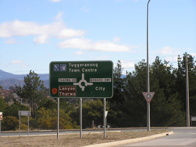
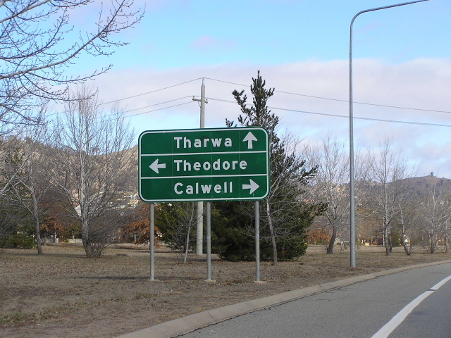
Focal Points: Tharwa, Tuggeranong, Monaro Hwy
Route Overview:
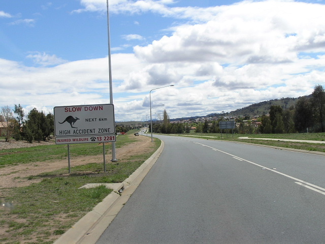
Tharwa Drive skirts the southern extremity of Canberra's suburban development, connecting the Monaro Hwy, Drakeford Dr and Tharwa. This route was established well prior to the 1930's as part of the Tharwa Rd between Hume and Queenbyean (now Lanyon Dr). The road was reconstructed to its current alignment in the late 1980's as part of the development of the Tuggeranong Town Centre. For now the route is only 2 lanes with 4 lanes provided at most major intersections, but there is a wide reservation for conversion to 4 and 6 lanes in the future. Like most of Canberra's major arterials there is no direct proprty access but way too many roundabouts for my liking.
Photos of Tourist Drive 5 - Tharwa Drive |
|
 |
Northern beginning of Tharwa Dr at Monaro Hwy. Photo taken July 2004. |
 |
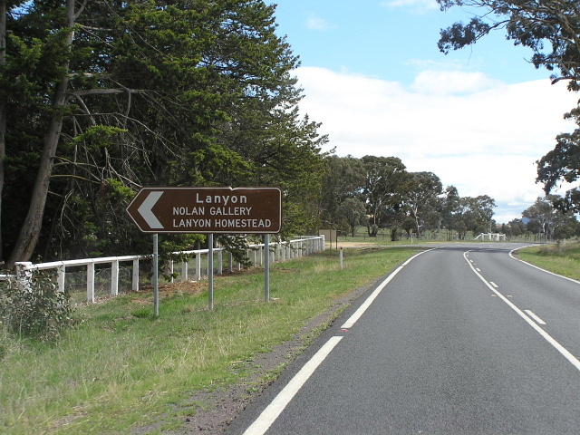
Tharwa Dr ID sign at the Monaro Hwy roundabout. Note the use of 'Lanyon' as a focal point. Lanyon is no more than a honestead just outside of urban Canberra. Photo taken July 2004. |
 |
Tharwa Dr approaching Lawrence Wackett Dr & Were St. Photo taken July 2004. |
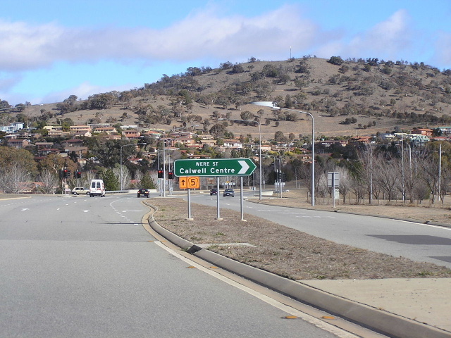 |
TD5 trailblazer at Were St. Photo taken July 2004. |
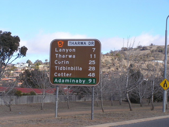 |
One of only 2 distance signs on Tharwa Dr, westbound from Were St. Photo taken July 2004. |
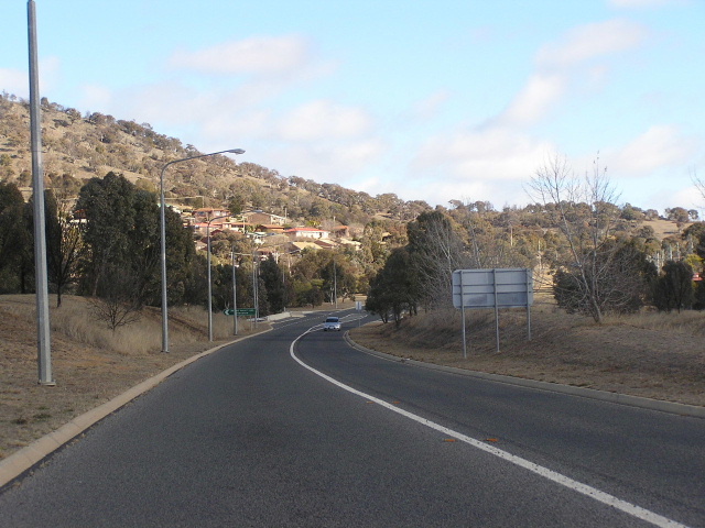 |
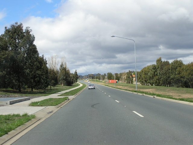
Looking west, skirting the underside of Calwell. Note the wide reservation on the right for widening of the road. Photo taken July 2004. |
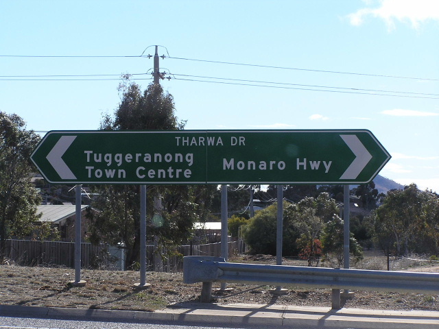 |
Double chevron ID sign on Tharwa Dr at Lawrence Wackett Dr. Photo taken July 2004. |
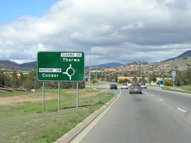 |
Tharwa Dr southbound at Mentone View. Photo taken October 2004. |
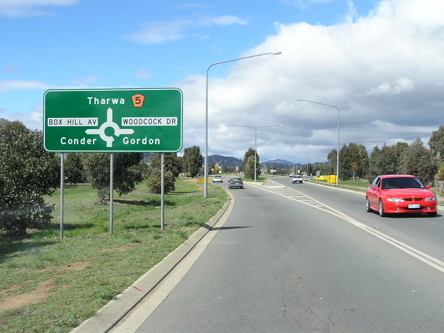 |
Southbound at Box Hill Ave & Woodcock Dr. Photo taken October 2004. |
 |
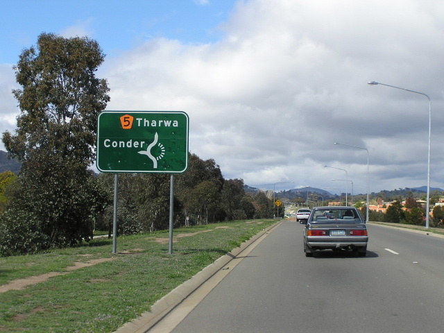
Typical early 1990's ID sign. Photo taken October 2004. |
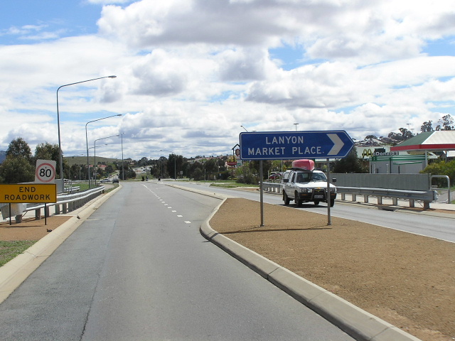 |
Northbound outside Lanyon Marketplace. Photo taken October 2004. |
 |
Box Hill Ave again. De-ja-vu is common with Canberra's loop streets. Photo taken October 2004. |
 |
Looking south from Box Hill Ave. Uh-oh i see direct property access :S I think it is a service station so thats ok. Photo taken October 2004. |
 |
This is the last roundabout before you leave Canberra's built-up area. Photo taken October 2004. |
 |
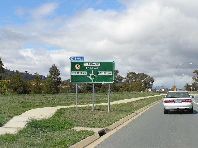
Tharwa Drive looking north towards Knoke Ave & Pockett Ave, Banks. Source: Andrew Ison, January 2009. |
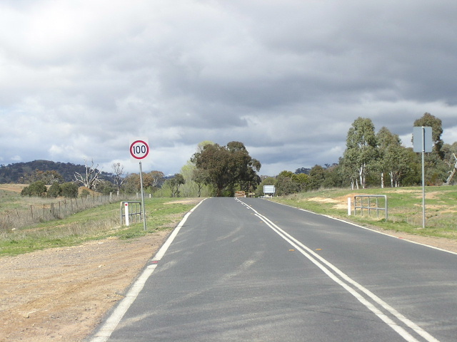 |
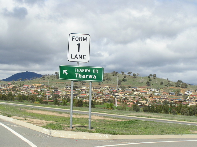
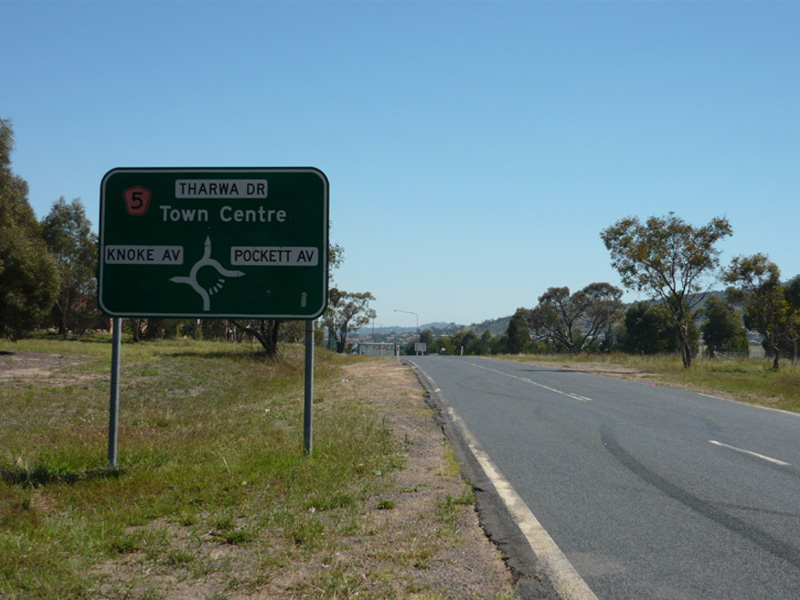
Tharwa Drive goes rural and gets a 100km/h limit. Photo taken October 2004. |
 |
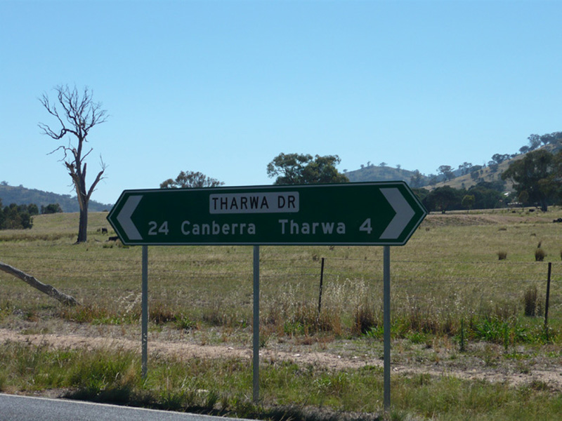
Distance sign just outside the urban part of Canberra. Photo taken October 2004. |
 |
Outside Lanyon Homestead. Photo taken October 2004. |
 |
Fingerboard/ID sign on Tharwa Drive outside Lanyon Homestead. Note the absence of a TD5 route marker. Source: Andrew Ison, January 2009. |
 |
Tharwa Drive, looking south from Lanyon Homestead. Source: Andrew Ison, January 2009. |
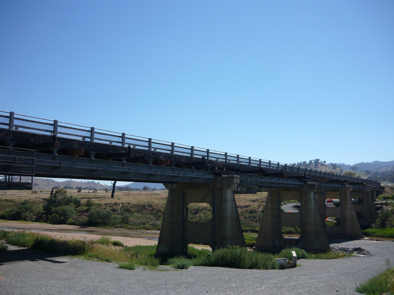 |
Looking northeast to Thrawa Bridge over the Murrumbidgee River at Tharwa. Tharwa Bridge was originally a timber Allan Truss type bridge, however structural issues identified in 2005 necessitated closure of the bridge and replacement of the deck with modern materials that can be seen in this photo. Source: Andrew Ison, January 2009. |
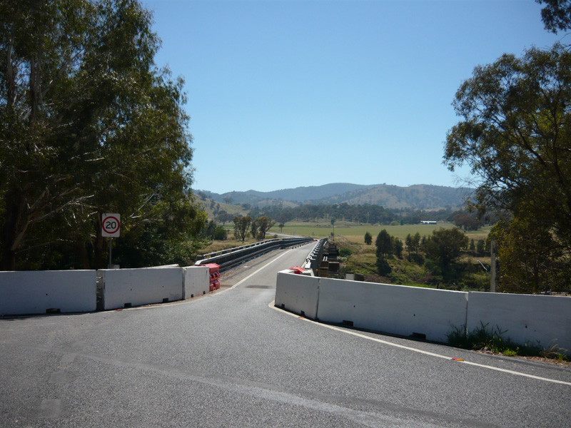 |
A road-level view northeast across the deck of Tharwa Bridge. Source: Andrew Ison, January 2009. |
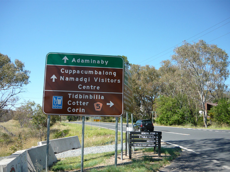 |
Signage at the junction of Tharwa Drive, Naas Rd & North St (Tidbinbilla Rd) in Tharwa village. Source: Andrew Ison, January 2009. |
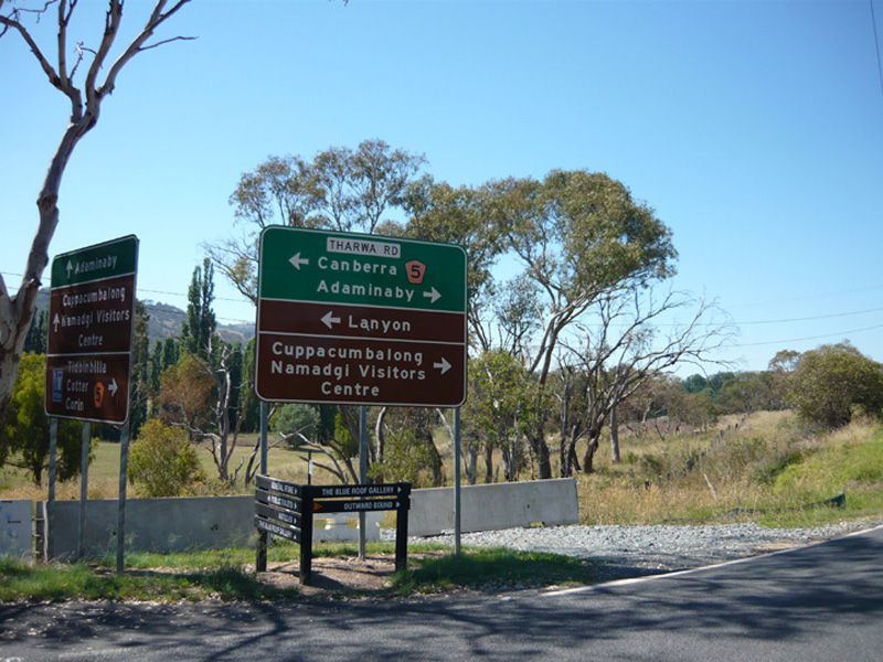 |
Signage at the junction of Tharwa Drive, Naas Rd & North St (Tidbinbilla Rd) in Tharwa village. Source: Andrew Ison, January 2009. |
Last updated 26 March 2011 © Ozroads 2004-2011. |