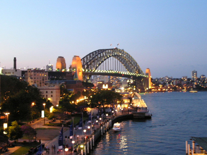
SYDNEY HARBOUR BRIDGE & TUNNEL
view of Sydney Harbour Bridge from Vaucluse, April 2004
| Bridge | Tunnel | |||
|---|---|---|---|---|
Toll Charges: |
Variable toll charges
(southbound only) |
Toll Charges: |
Variable toll charges
(southbound only) |
|
Roadway Name: |
Bradfield Highway
|
Roadway Name: |
Sydney Harbour Tunnel
|
|
Length: |
2.25km (including approaches)
|
Length: |
2.3km
|
|
Route Numbers: |
None
|
Route Numbers: |
Metroad 1
(1993-present) |
|
Former Route Numbers: |
National Route 1
(1955-92)
Metroad 2 (1993-2006) |
Former Route Numbers: |
National Route 1
(1992-93) |
|
Open to Traffic: |
19th March 1932
|
Open to Traffic: |
31st August 1992
|
|
Length of Main Span: |
503m
|
North Portal: |
Warringah Fwy beneath High St, North Sydney
|
|
Height Above Sea Level (Arch): |
141m
|
South Portal: |
Cahill Expressway, 50m north of Conservatorium Road, Sydney
|
|
Height Above Sea Level (Deck): |
53m
|
Depth (below sea level): |
18m (12m below sea floor)
|
|
Width (Deck): |
49m; 8 traffic lanes & 2 railway tracks
|
Tunnel Type: |
twin 2-lane tunnels
|
|
Cost (1932): |
£ 10,057,170
|
Cost (1992): |
$ 560 million
|
|
Explore the Sydney Harbour Bridge and Tunnel: |
|
Photos - Views of the Sydney Harbour Bridge |
|
Video - Crossing the Sydney Harbour Bridge northbound, from Cahill Expressway (Right-click, "Save Target As" - mp4 format, 2.17MB - taken 6th November 2005) |
|
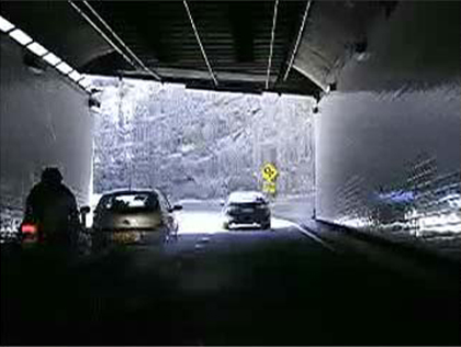
Video - A southbound run through the Sydney Harbour Tunnel (taken 23 July 2012) |
|
Last updated 14 October 2012 © Ozroads 2003-2012. |
