PRINCES HIGHWAY
Former Alignment: Bega
This former alignment of the Princes Highway pertains to the construction of a new high-level bridge across the Bega River - Stage 1 of a future Bega Bypass. Sections of old highway remain on both sides of the river and includes part of Poplar Ave. There are no signage remnants remaining. The new bridge was opened to traffic on 29 September 1975 and is situated on a 3.5km deviation of the Princes Highway. The deviation replaced a timber truss bridge that had coped with numerous floods during its 77 year life. Further to that, the deviation also eliminated the southern approach to the old bridge, which had been closed by floods with increasing frequency. The new bridge, a 624m long reinforced a prestressed concrete structure, was the sixth longest road bridge in NSW at the time of construction.
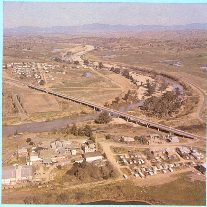 |
Aerial view over the new bridge, showing the old highway in the middle ground. The old bridge has been demolished. 1978. |
Looking east along the river showing the new and old bridges. 1975. |
|
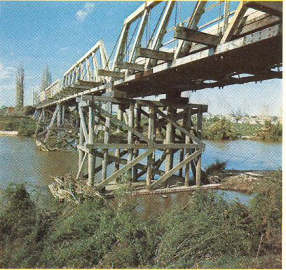 |
The old timber truss bridge. 1975. |
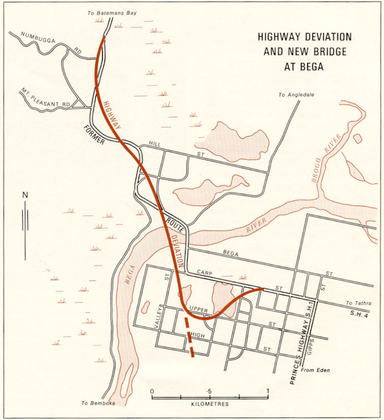 |
DMR map showing the old and new highway alignments. Note the dotted line showing the eventual route of the Bega Bypass. 1975. |
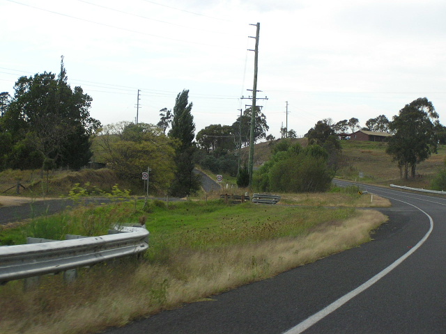 |
Looking south on the Princes Highway showing the old highway alignment to the left. Feb 2006. |