ALTERNATIVE NATIONAL ROUTE 1 - MURRAY BRIDGE, SA
Formerly the Old Princes Highway
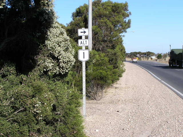
Remnant Alt-1 trailblazer on Princes Highway westbound at Old Princes Hwy, east side of Murray Bridge. Jan 2005.
Lifespan: 1979-1999 (20 years)
Length: 33km
Eastern Terminus: Princes Hwy & Old Princes Hwy, east of Murray Bridge
Western Terminus: Princes Hwy (South East Freeway), Callington Interchange
Route taken: Old Princes Hwy, unnamed connecting road between Old Princes Hwy and SE Fwy at Callington
Focal Points: Adelaide, Callington, Monarto, Murray Bridge, Tailem Bend
Alternative National Route 1 replaced the National Highway 1 route from Callington, through Murray Bridge to the Princes Highway about 7km east of Murray Bridge. It was introduced in May 1979, when National Highway 1 bypassed Murray Bridge. However, the signage remnants are rather inconclusive as to whether the Alternative route did extend as far west as Callington or not. One trailblazer at the Whites Hill Interchange suggests it did, however, I have been unable to find confirmation either way in any maps. Regardless, Alt-1 was decommissioned in 1999, being replaced by route B55 between Whites Hill Interchange and the Murray Bridge-Loxton Rd.
Remnants of Alternative National Route 1 at Murray Bridge |
|
 |
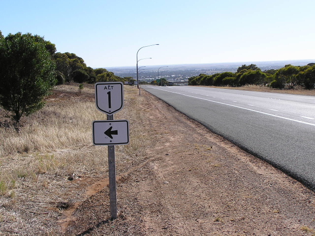
Trailblazer on Old Princes Hwy (Adelaide Rd) at Whites Hill Interchange, on the west side of Murray Bridge. According to this trailblazer, Alt-1 would have continued along the old Princes Highway to Callington. Jan 2005. |
 |
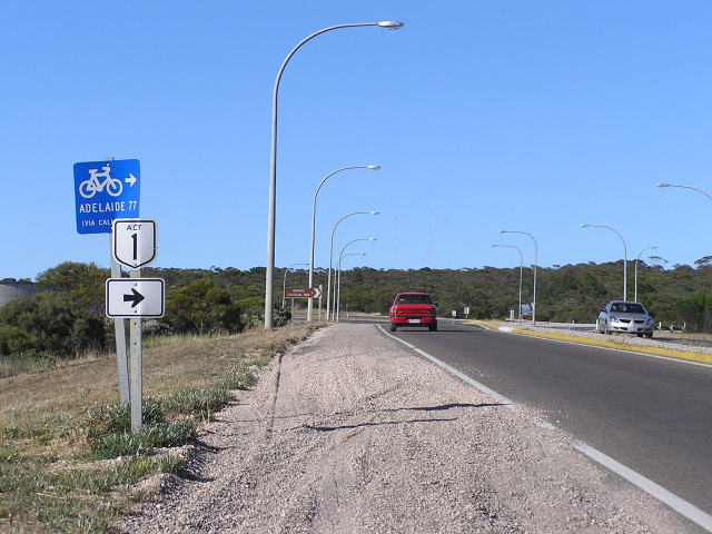
Trailblazer on the Princes Hwy (South East Freeway) heading east at the Whites Hill Interchange. Jan 2005. |
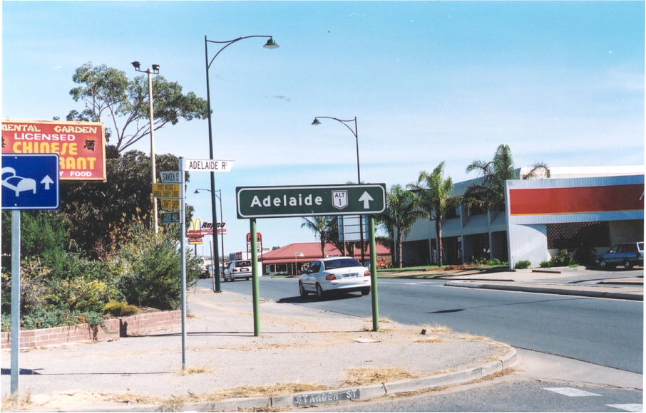 |
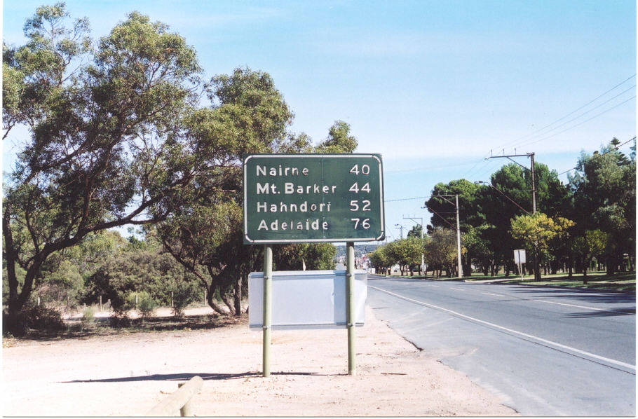
The lone remnant directional sign at the intersection of Adelaide Rd and Standen St in Murray Bridge. Apr 2003. |
 |
Note this RD sign, removed in 2004, does not include an Alt-1 shield or a NH1 shield, or even a NR1 - it should include at least one of these considering its age. Heading west along Adelaide Rd in Murray Bridge. Apr 2003. |