Domain Highway |
Fingerboard sign assembly at the intersection of Midland Hwy (NH1) & Black Brush Rd (C186), Mangalore. Source: Peter Renshaw, May 2007.
Introduced: 1980
Length: 2km
Eastern Terminus: Tasman Hwy (A3) & Domain Hwy (B36), Tasman Bridge
Western Terminus: Brooker Hwy (NH1) & Domain Hwy (B36), New Town
Route taken: Domain Hwy
Focal Points: (Glenorchy), Tasman Bridge/(Sorell)
Responsibility: State Government
B36 Domain Hwy is a short link between the Brooker Hwy (NH1) and Tasman Bridge, allowing through traffic between northern Hobart and Tasman Bridge to bypass the northern part of Hobart CBD. Construction of Bowen Bridge in the 1980s afforded traffic some relief to this route, as previously it was the only link to the northern suburbs east of Bridgewater.
Grade-separated at both terminii, the route is a mostly two-lane, single undivided carriageway with a curving alignment as it hugs Cornelian Bay and the Queens Domain.
|
Photos of route B36 |
|
| AD signs and ID sign assembly, southbound on Brooker Hwy (NH1) approaching the grade-separated junction with Domain Hwy (B36) at New Town. |
|
  |
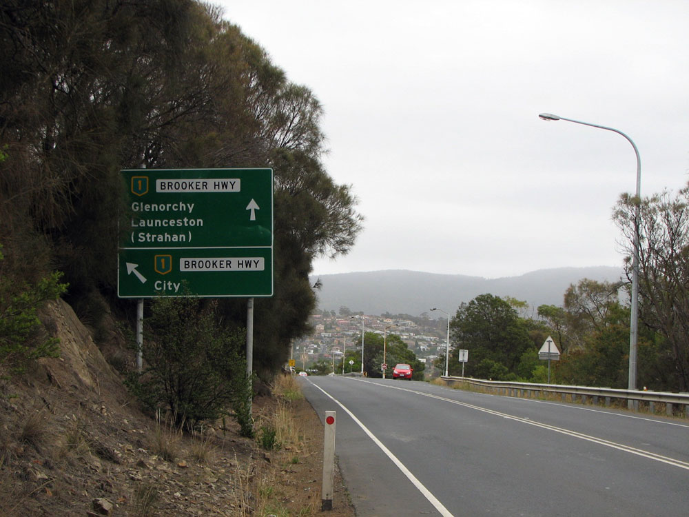
Brooker Hwy (NH1) northbound approaching the grade-separated junction with Domain Hwy (B36) at New Town. |
 |
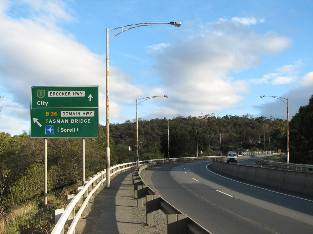
AD sign westbound on Domain Hwy (B36) approaching the junction with Brooker Hwy (NH1) at New Town. Northbound traffic continues straight across the bridge, before curving anti-clockwise onto the northbound carriageway of Brooker Hwy. Photo taken: March 2009. |
| RD sign eastbound on Domain Hwy (B36) near the junction with Brooker Hwy (NH1). |
|
 |
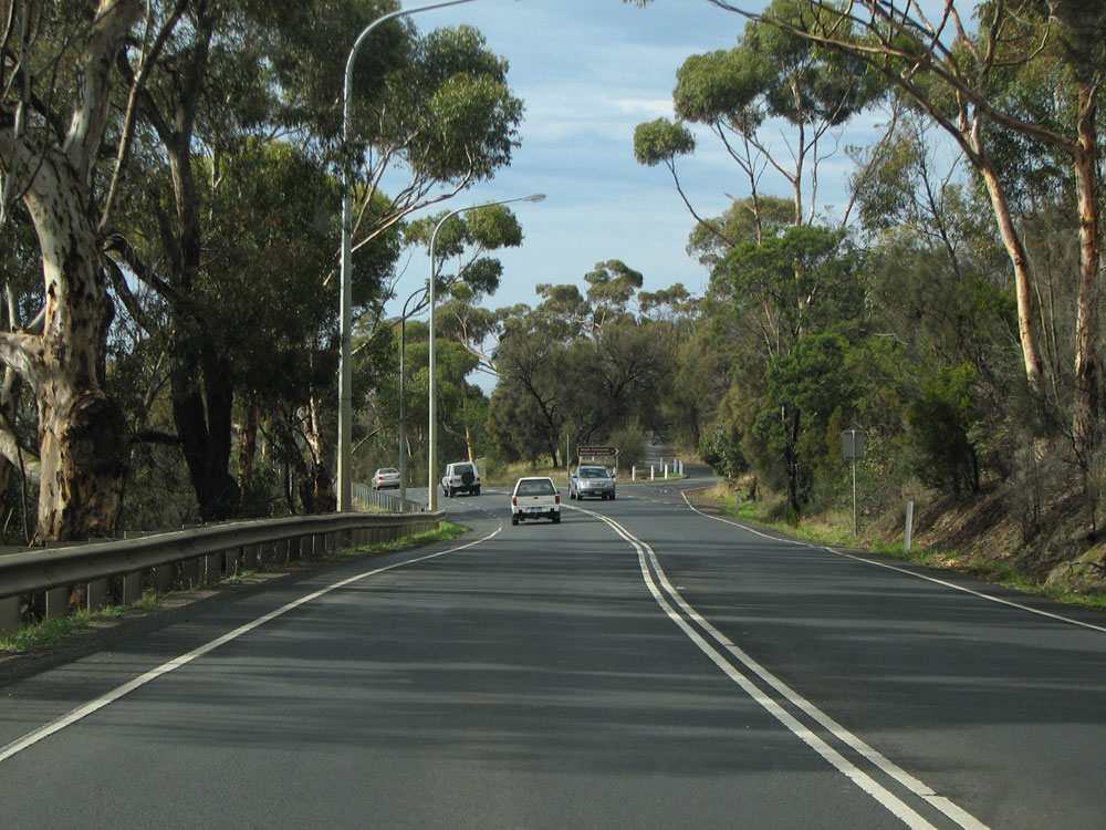
Domain Hwy (B36) looking east at the junction with Queens Walk. Domain Hwy is not of the semi-expressway standard one might expect from a city bypass route. Photo taken: March 2009. |
 |
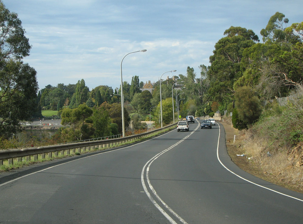
Domain Hwy (B36) looking east towards the junction with Lower Domain Rd, 850m east of Brooker Hwy (NH1). Photo taken: March 2009. |
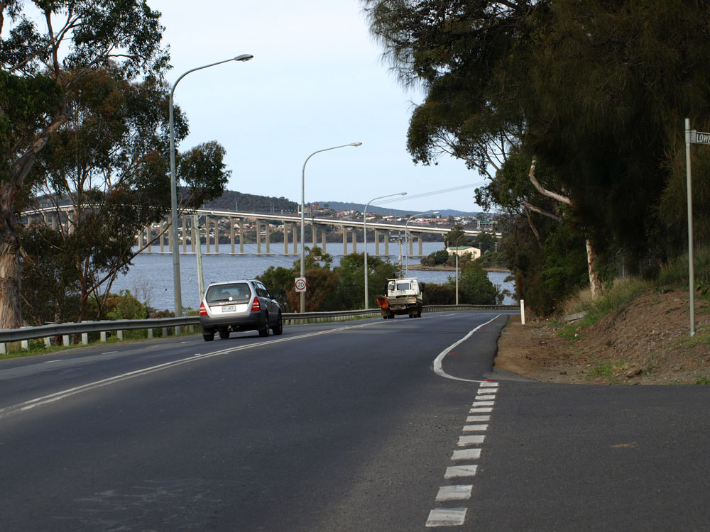 |
Domain Hwy (B36) looking east at Lower Domain Rd with the Tasman Bridge in the background. Source: Peter Renshaw, August 2007. |
 |
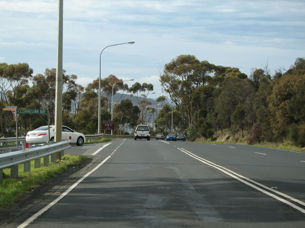
Domain Hwy (B36) looking east towards the Royal Tasmanian Botanic Gardens and Pavillion Point. Photo taken: March 2009. |
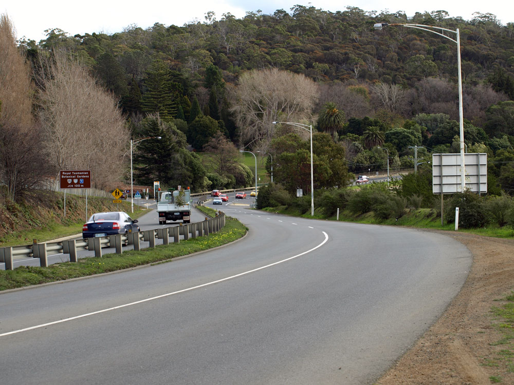 |
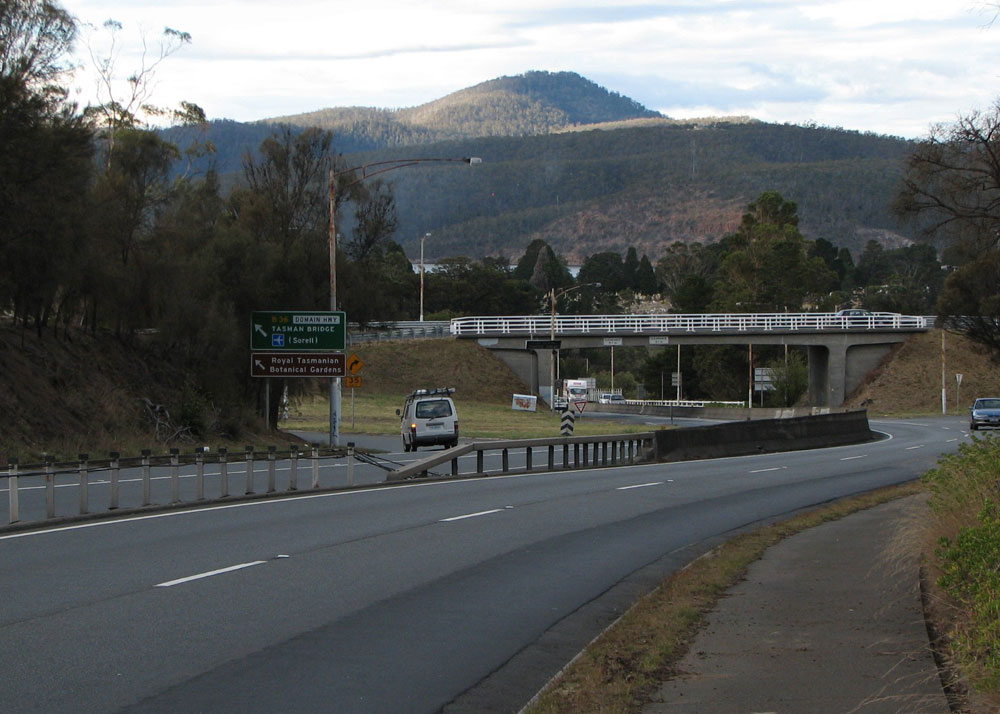
Domain Hwy (B36) looking west from near the junction with Tasman Hwy (A3). The entrance to the botanic gardens is at the bottom of the hill. Source: Peter Renshaw, August 2007. |
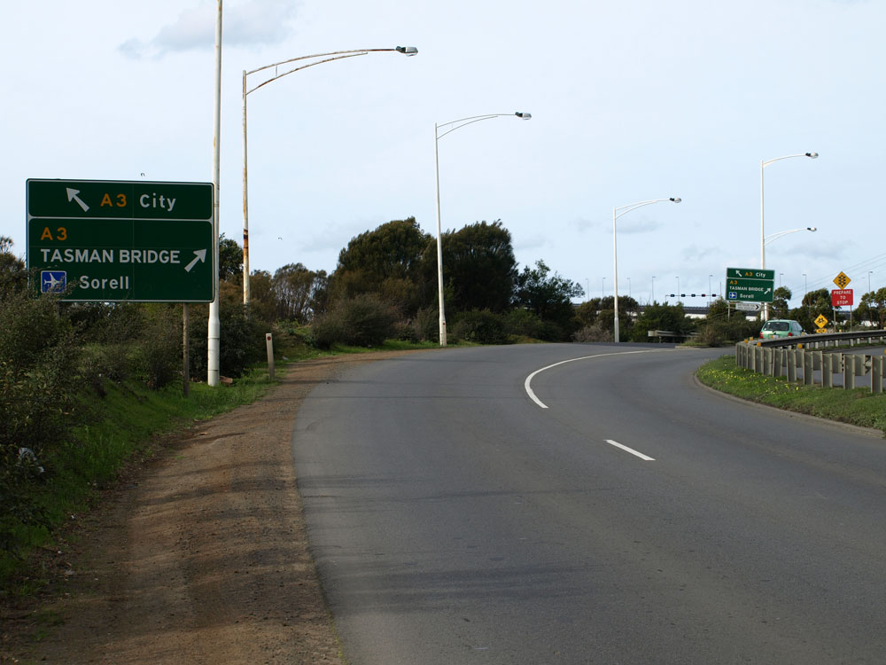  |
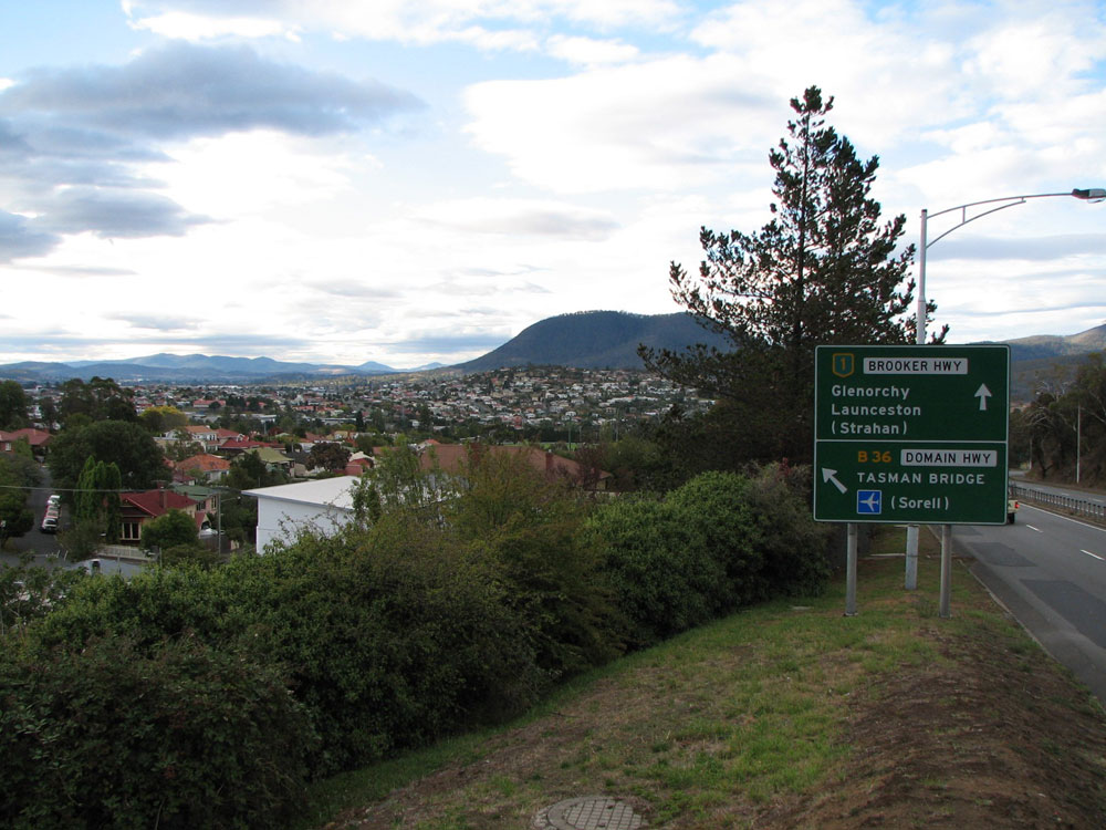
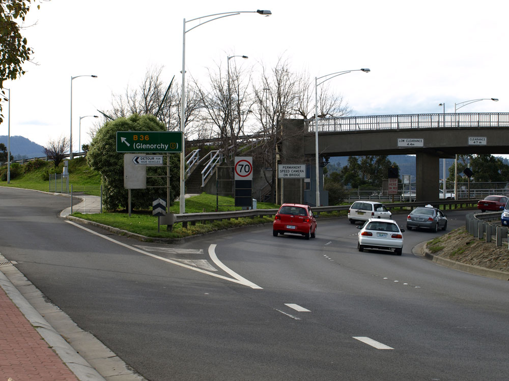
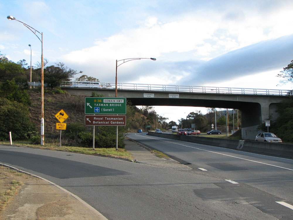
Eastbound signage on Domain Hwy (B36) for the junction with Tasman Hwy (A3) at the western end of Tasman Bridge. Traffic heading to Hobart CBD branches off to the left, passing under the western end of the bridge. Source: Peter Renshaw, August 2007. |
  |
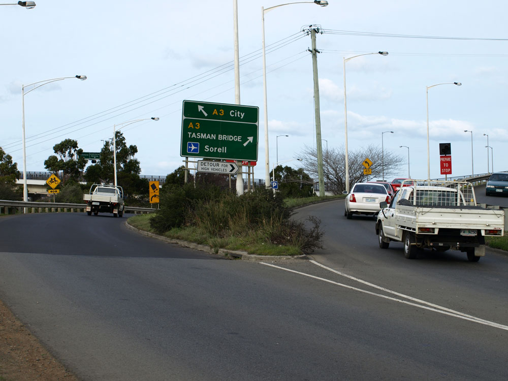
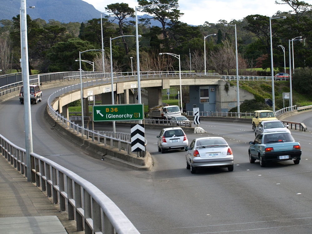
Northbound signage on Tasman Hwy (A3) for the junction with Domain Hwy (B36) at the western end of Tasman Bridge. Source: Peter Renshaw, August 2007. |
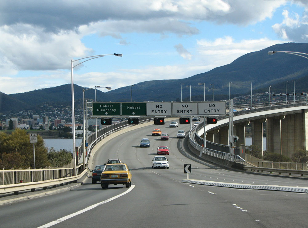 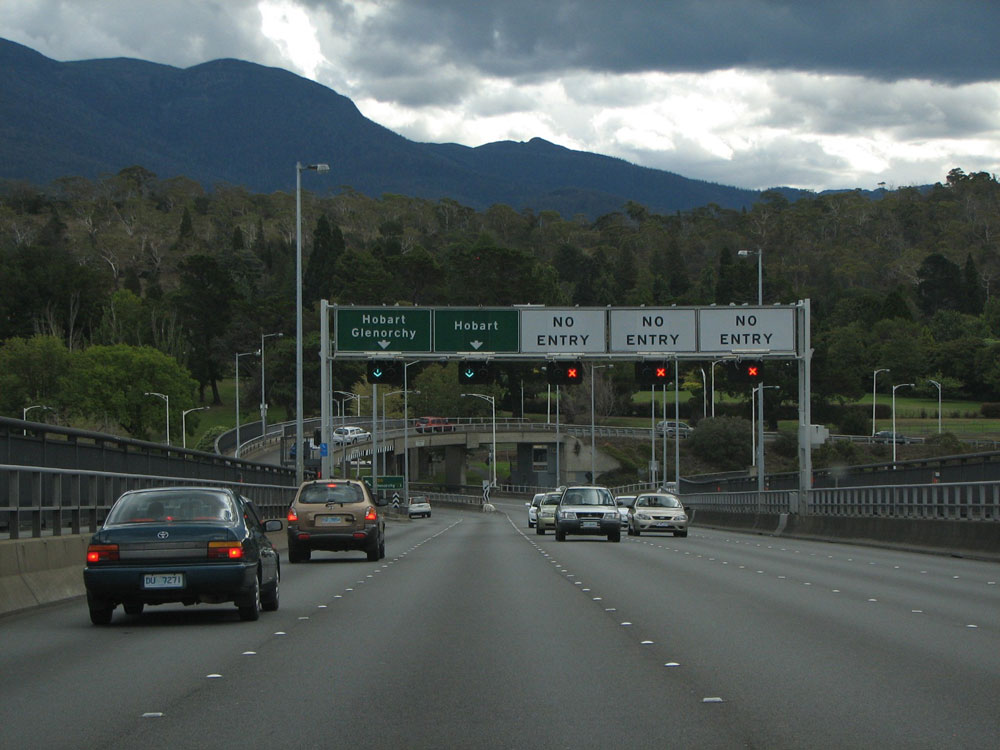  |
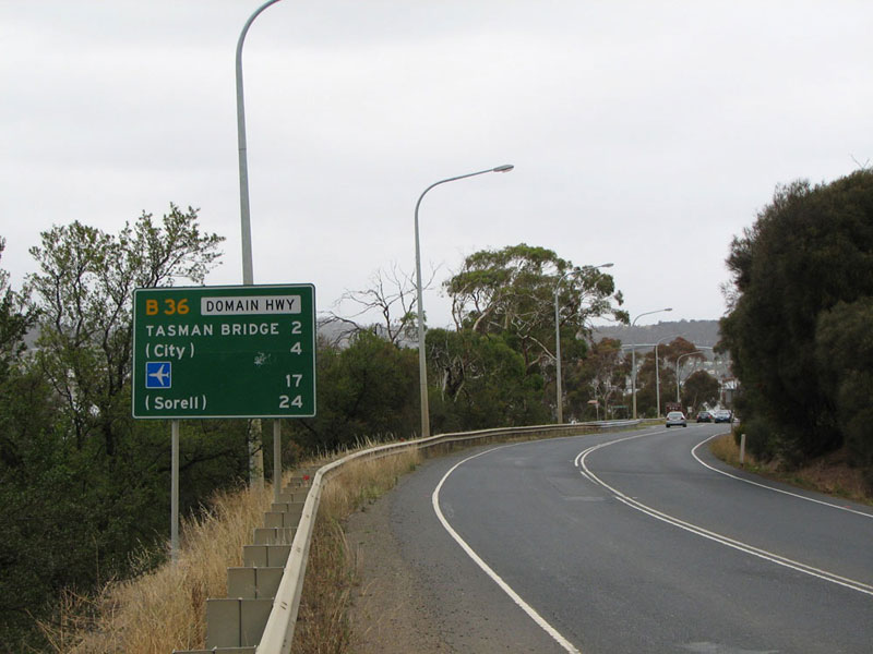
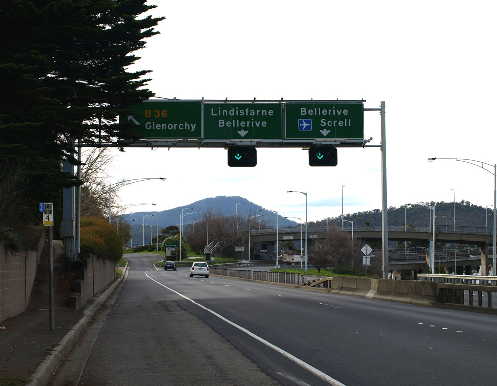
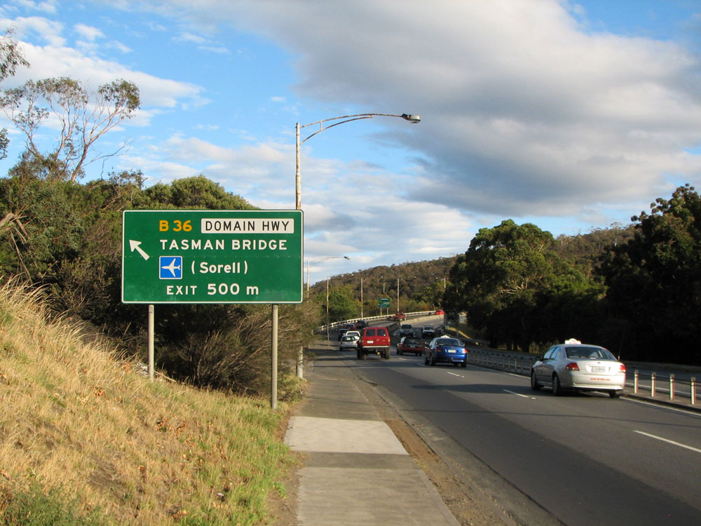
Westbound signage on Tasman Hwy (A3) as you cross Tasman Bridge and reach the junction with Domain Hwy (B36). Note how the signs on the actual bridge do not include any route markers. Top and middle photos: Sam Laybutt, March 2009. Bottom photo: Peter Renshaw, August 2007. |

Last updated 21 May 2011 © Ozroads 2004-2011. |