Evandale - Blessington |
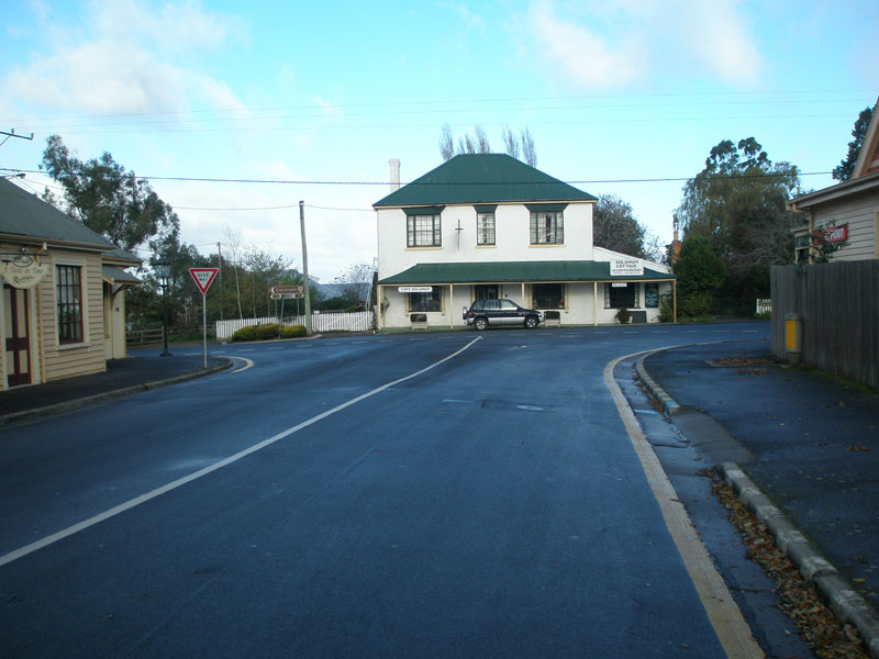
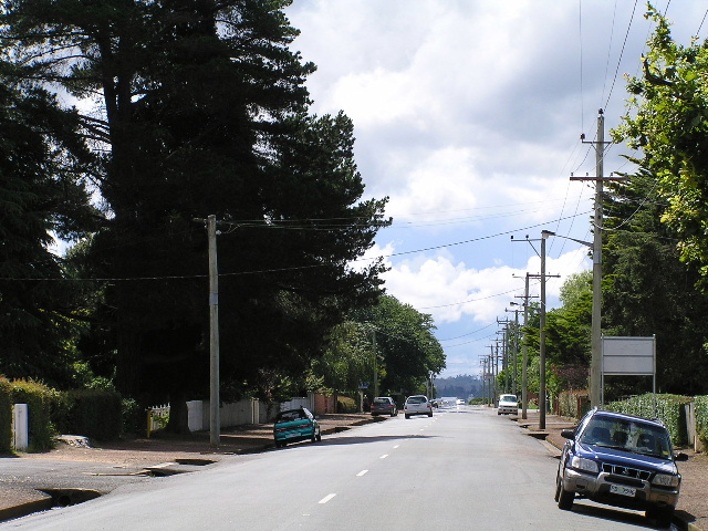
C416 (High Street) at its intersection with C413 (Russell Street) in Evandale. Source: Peter Renshaw, May 2007.
Introduced: 1980
Length: 21km
Eastern Terminus: Deddington Road (C420) & Sawpit Hill Road (C413), Blessington
Western Terminus: High Street (C416) & Russell Street (C413), Evandale
Route taken: From the intersection of High Street (C416) & Russell Street, Evandale, via Russell Street, Logan Road and Sawpit Hill Road to the intersection of Deddington Road (C420) & Sawpit Hill Road, Blessington
Focal Points: Evandale, Blessington, (Ben Lomond National Park)
Responsibility: Local Government
C413 is a minor rural route, located in north-central Tasmania. It branches off route C416 at the historic town of Evandale, ascending into the highlands before terminating at route C420 in the small town of Blessington. Most of the route between Evandale and Blessington remains unsealed.
Original signage installed in the early 1980s was of a local nature only, using Blessington as the eastbound focal point. In 2012, DIER upgraded signage between Midland Highway (NHR1) and Evandale, signposting B41, C416 and C413 as the preferred route to Ben Lomond National Park. Accordingly, a new AD sign and new fingerboards were installed at the C416 junction in Evandale.
|
Photos of route C413 |
|
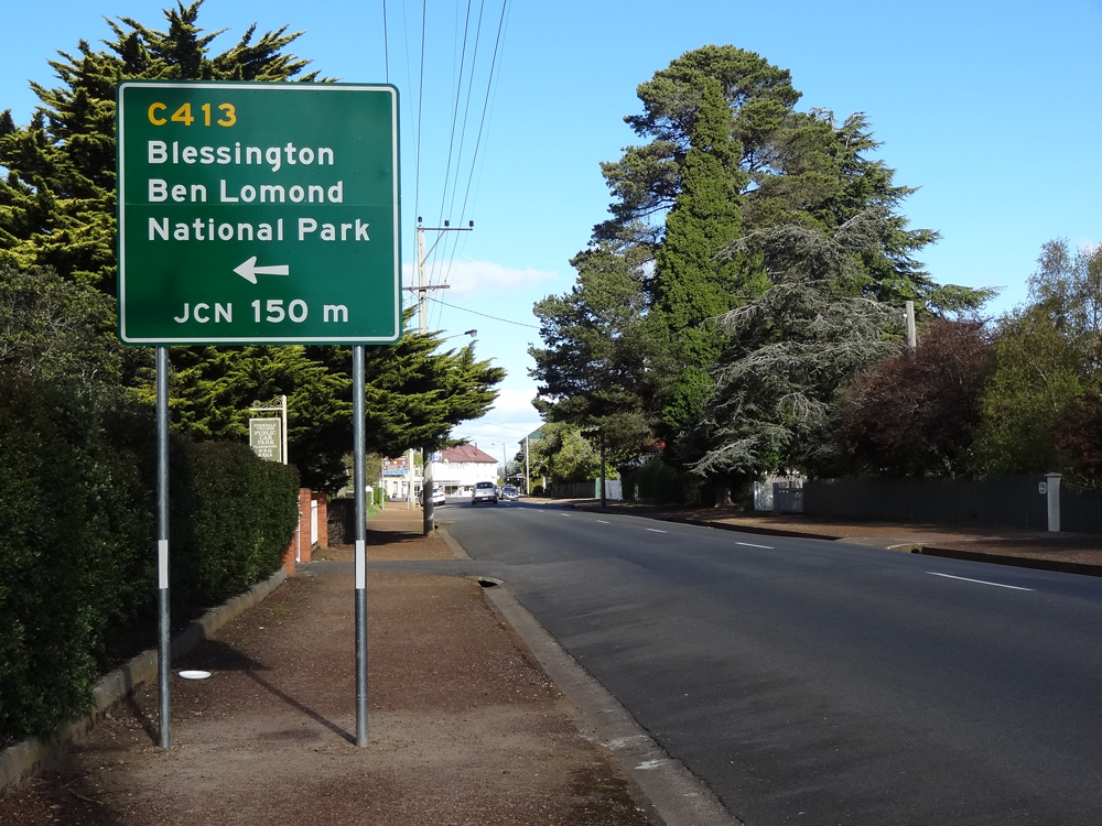 |
New AD sign, installed in 2012, southbound on High Street (C416) approaching Russell Street (C413), Evandale. Source: Peter Renshaw, October 2012. |
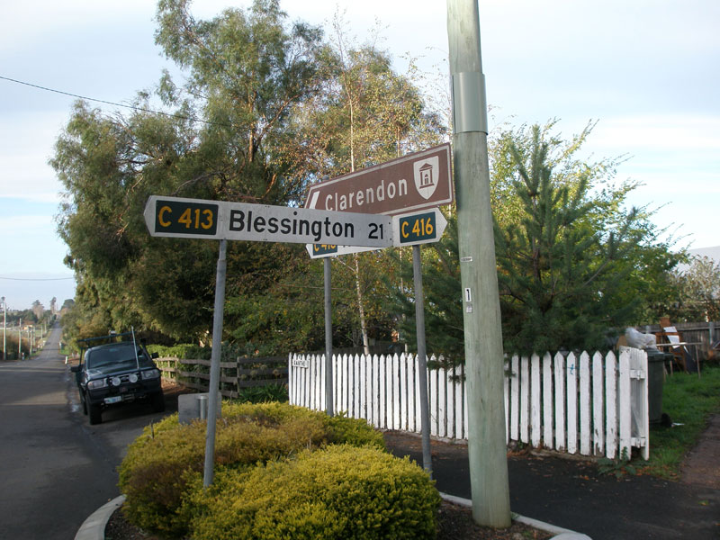
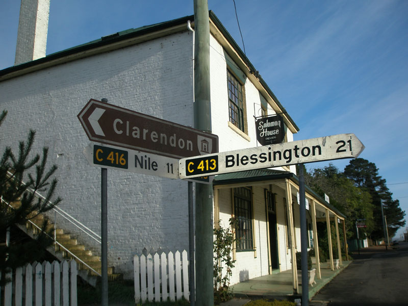
Original fingerboard sign assembly at the junction of High Street (C416) & Russell Street (C413), Evandale. These signs were replaced in 2012. Top and middle photos: Peter Renshaw, May 2007. Bottom photo: Josh Geoghegan, Dec 2004. |
|
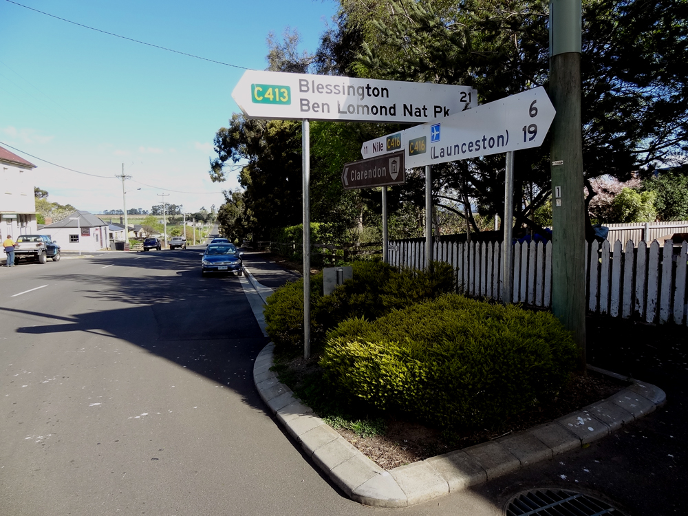 |
New fingerboard sign assembly at the junction of High Street (C416) & Russell Street (C413), Evandale. Source: Peter Renshaw, October 2012. |
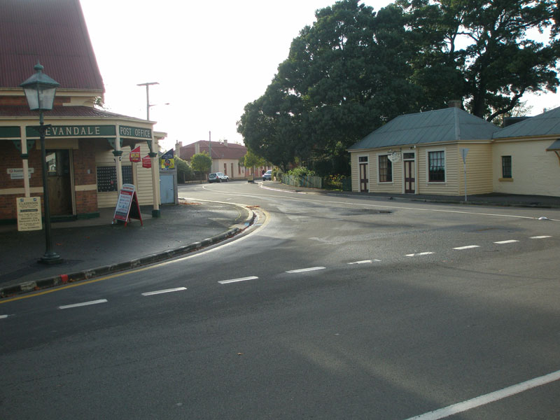 |
Russell St (C413), looking east at its western terminus in Evandale - a very British scene! Source: Peter Renshaw, May 2007. |
 |
Russell St (C413), looking west to its western terminus at C416 (High St/Evandale Main Rd) in Evandale. Source: Peter Renshaw, May 2007. |
 |
Looking east along C413 (Russell Street) from its western terminus in Evandale. Source: Josh Geoghegan, Dec 2004. |
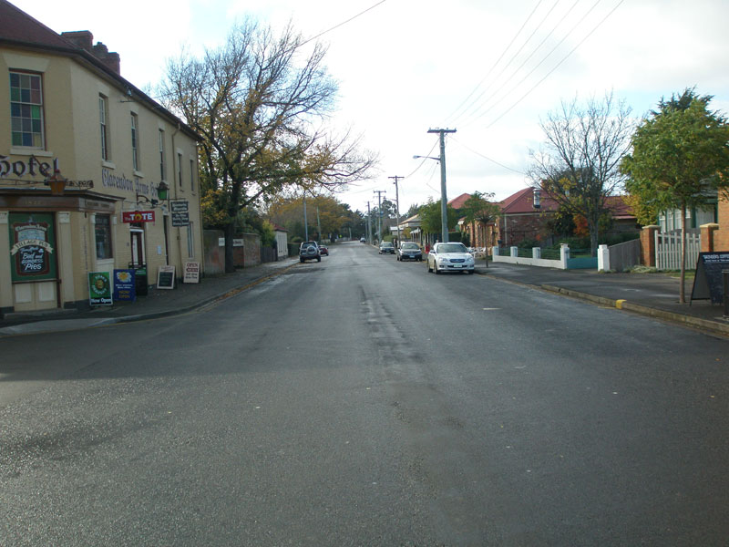 |
Russell St (C413) looking east at Scone St, outside the Clarendon Arms Hotel. Source: Peter Renshaw, May 2007. |
 |
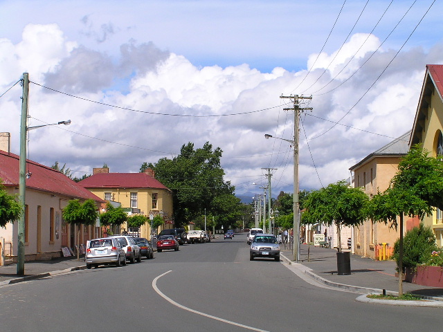
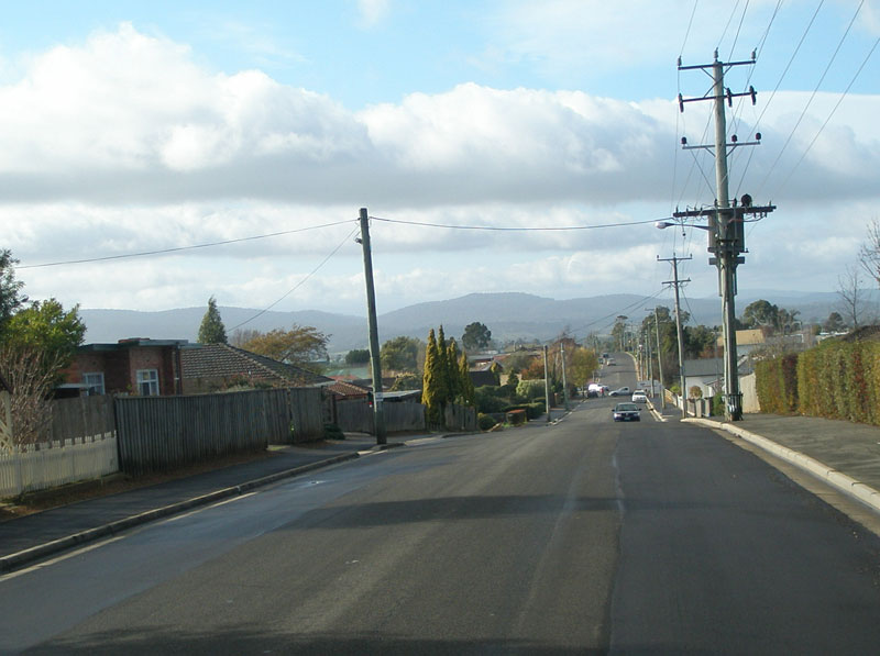
Looking west along C413 (Logan Road) at the intersection with Murray Street in Evandale. Source: Josh Geoghegan, Dec 2004. |
 |
Looking east along C413 (Logan Road) on the eastern outskirts of Evandale. Source: Josh Geoghegan, Dec 2004. |
 |
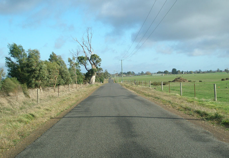
Logan Rd (C413) looking east near Coachmans Road, Evandale. Temple Bar and Stringy Bark Tier form an imposing backdrop. Source: Peter Renshaw, May 2007. |
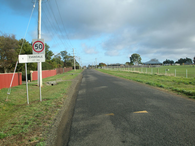 |
Logan Rd (C413) looking west into Evandale from the town boundary. This type of locality marker is an old Launceston City Council style from the 1980s. Source: Peter Renshaw, May 2007. |
 |
Logan Rd (C413) looking east about 750m from Evandale town boundary. Source: Peter Renshaw, May 2007. |
 |
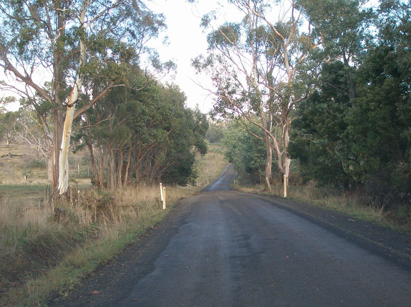
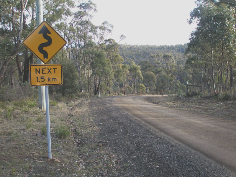
Logan Rd (C413) looking west towards Evandale, about 1.5km east of the town boundary. Source: Peter Renshaw, May 2007. |
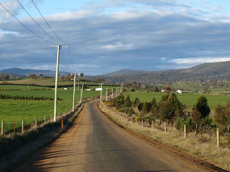 |
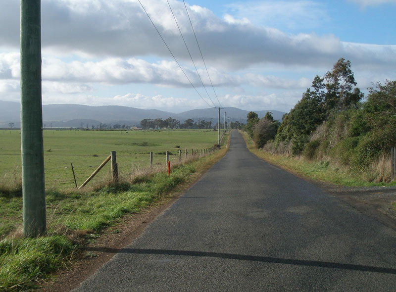
Logan Rd (C413) looking east from the same spot - beautiful countryside! Source: Peter Renshaw, September 2007. |
 |
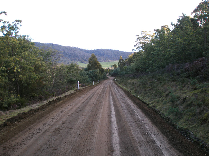
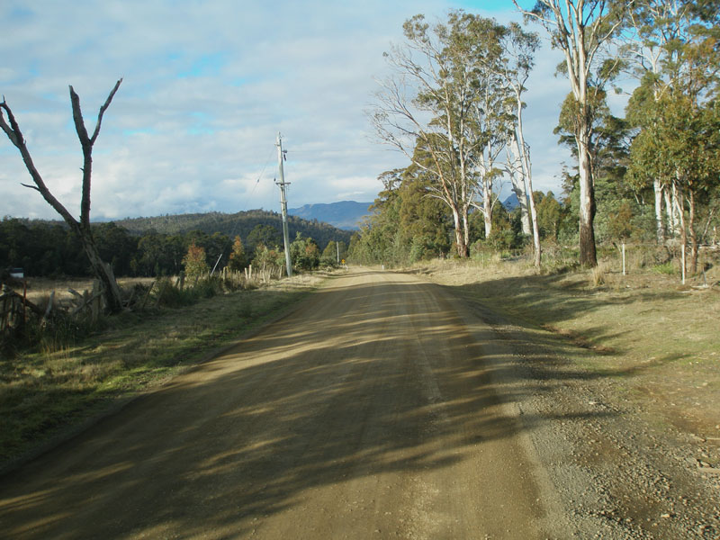
Logan Rd (C413) looking west at the eastern end of the sealed surface, about 6km from Evandale. From here, to its eastern terminus at Blessington, C413 is unsealed except for short isolated sections. Source: Peter Renshaw, May 2007. |
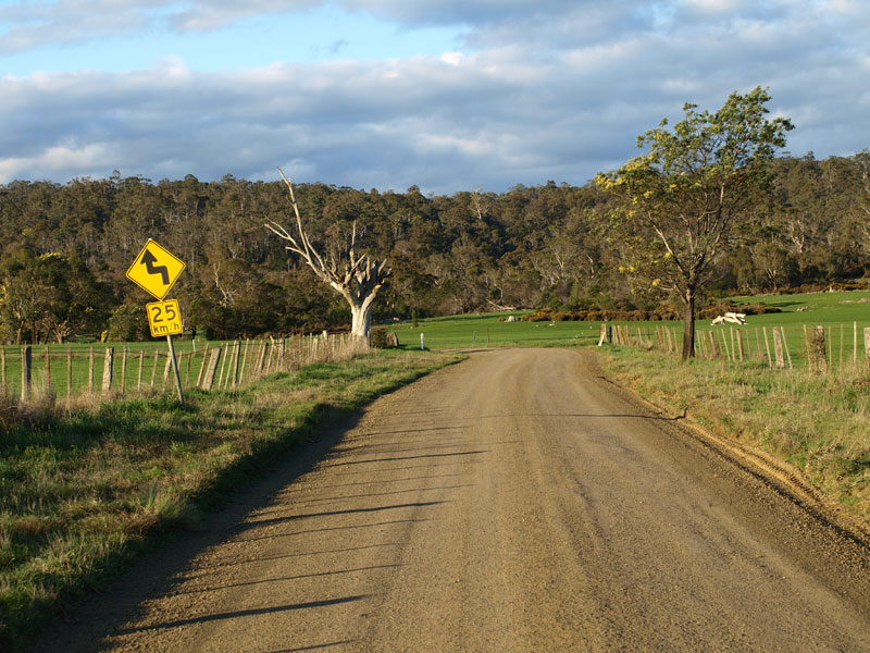 |
Logan Rd (C413) looking east on the approach to Stag Hill, approximately 6km east of Evandale. Source: Peter Renshaw, September 2007. |
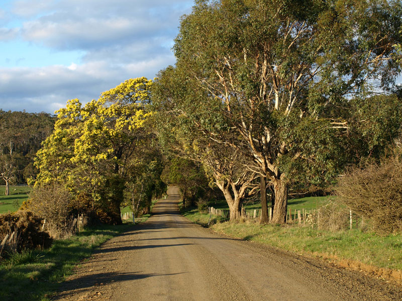 |
Logan Rd (C413) looking east just beyond the s-bend in the above photo, showing spring wattles blooming. Source: Peter Renshaw, September 2007. |
 |
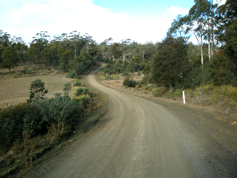
Logan Rd (C413) looking east, about 3km from Forest Rd (C414), as it curves into the foothills. Source: Peter Renshaw, May 2007. |
 |
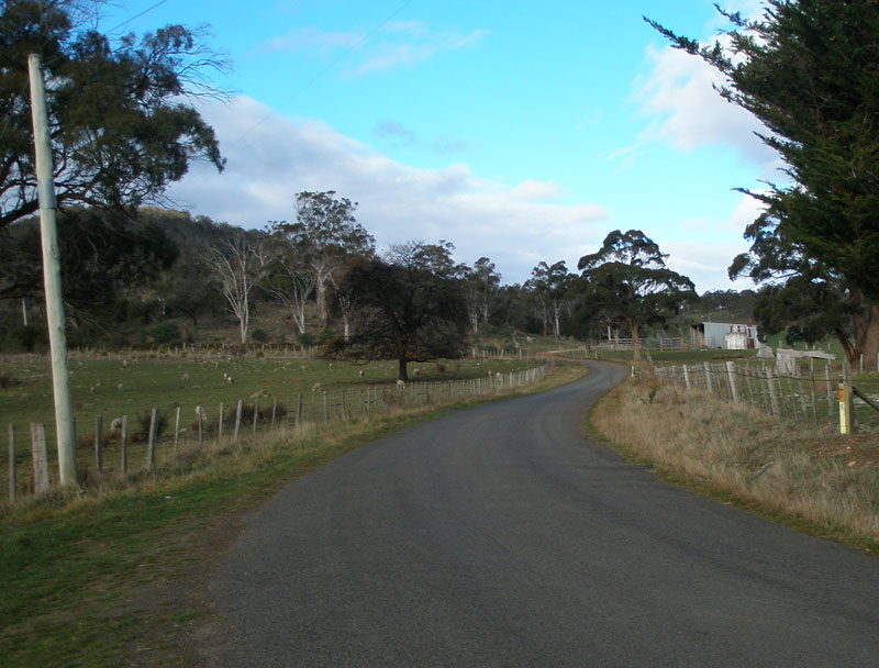
Logan Rd (C413) looking west, about 2km from Forest Rd (C414). A short sealed section begins around this corner. Source: Peter Renshaw, May 2007. |
 |
Logan Rd (C413) looking west - back to the gravel pavement about 1km from Forest Rd (C414). Source: Peter Renshaw, May 2007. |
 |
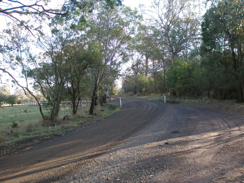
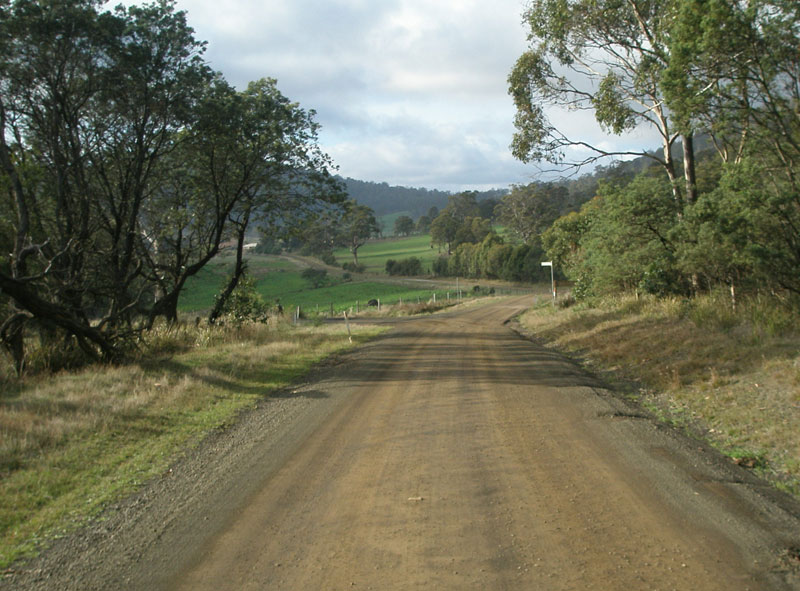
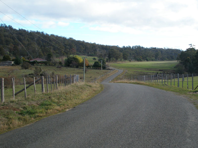
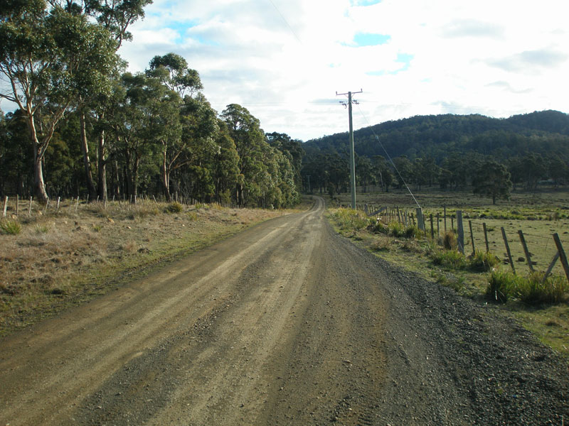
Logan Rd (C413) looking west from Forest Rd (C414) towards Evandale. Source: Peter Renshaw, May 2007. |
 |
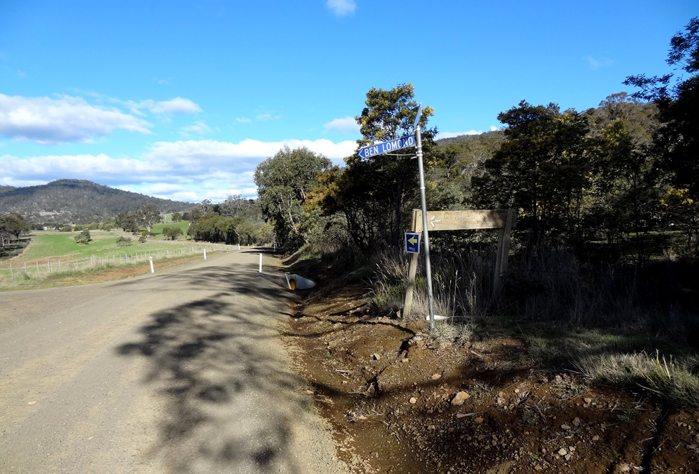
Fingerboard signs at the junction of the Logan Rd (C413), Sawpit Hill Rd (C413) & Forest Rd (C414). Not a C414 sign to be seen anywhere though! Logan Rd becomes Sawpit Hill Rd at this junction for the journey to Blessington. Source: Peter Renshaw, May 2007. |
 |
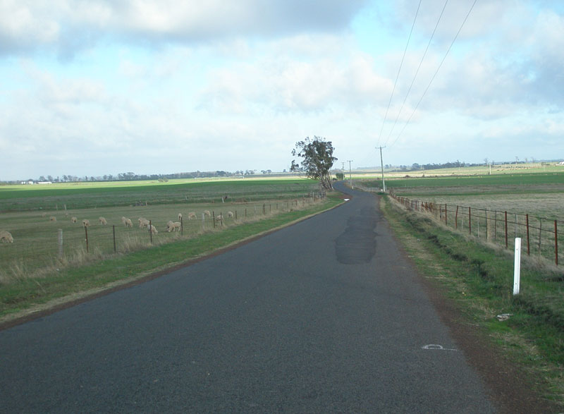
Sawpit Hill Rd (C413) looking east towards the junction with Disputed Rd, 1km east of Forest Rd (C414). Source: Peter Renshaw, May 2007. |
 |
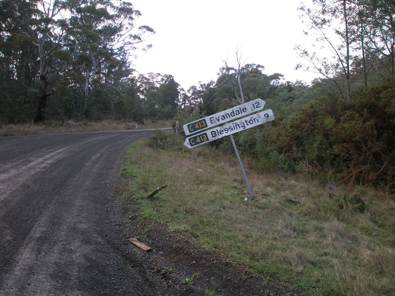
Poor signage at the junction of Sawpit Hill Rd (C413) & Disputed Rd, 14km east of Evandale. Motorists heading to Ben Lomond are directed left onto Disputed Rd, however proper signage has not yet been installed by Northern Midlands Council. Source: Peter Renshaw, October 2012. |
 |
Sawpit Hill Rd (C413) looking east from Disputed Rd. Source: Peter Renshaw, June 2007. |
 |
Sawpit Hill Rd (C413) looking west towards Disputed Rd - another isolated stretch of bitumen about 2km long. Source: Peter Renshaw, June 2007. |
 |
Sawpit Hill Rd (C413) looking east from the same spot. Just ahead is a steep climb between two small mountains before the final descent into Blessington. Source: Peter Renshaw, June 2007. |
 |
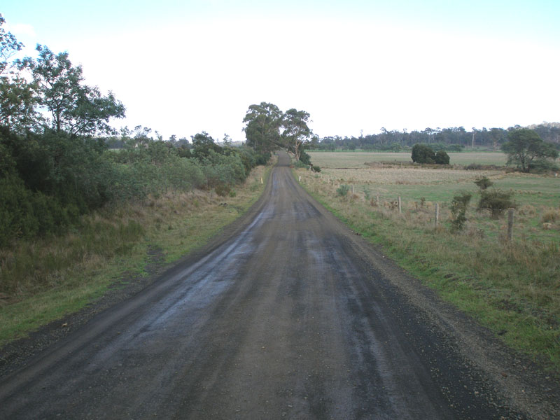
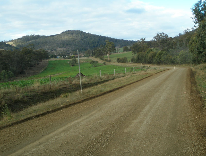
Sawpit Hill Rd (C413) looking east about 4km from Blessington. This section of the unsealed pavement was quite muddy. Source: Peter Renshaw, June 2007. |
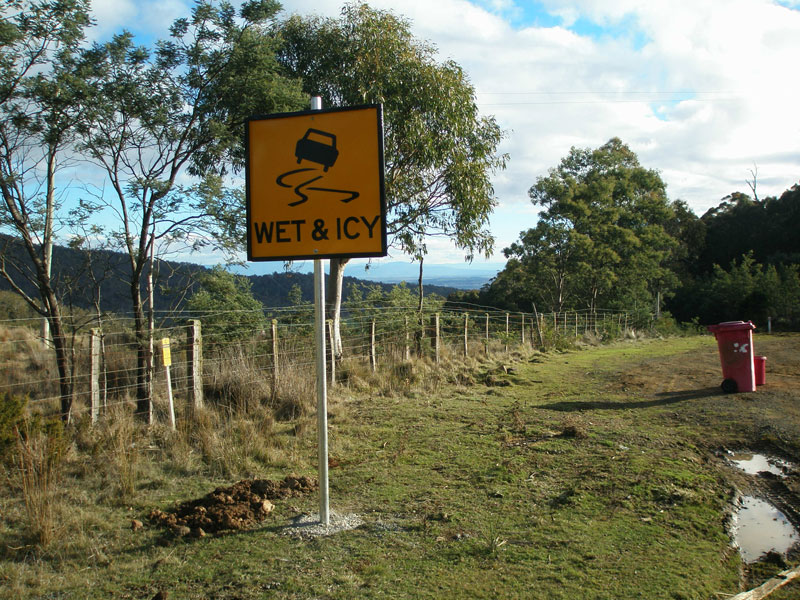 |
At the top of the slope is a warning sign - the unsealed pavement can get very muddy when wet. Source: Peter Renshaw, June 2007. |
 |
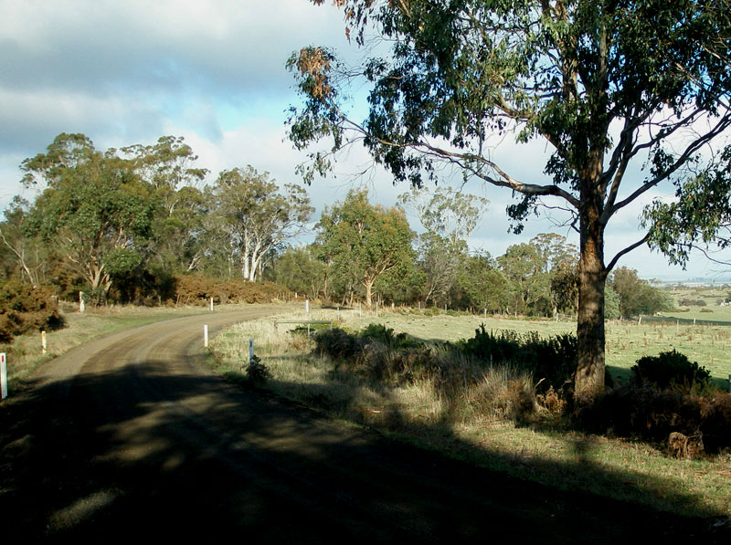
Sawpit Hill Rd (C413) looking east, about 3km from Blessington. Source: Peter Renshaw, June 2007. |
 |
Sawpit Hill Rd (C413) looking east about 2km from Blessington. Source: Peter Renshaw, June 2007. |
 |
Sawpit Hill Rd (C413) looking west about 1.5km from Blessington. Source: Peter Renshaw, June 2007. |
 |
Sawpit Hill Rd (C413) looking east at the beginning of the final descent into Blessington. Source: Peter Renshaw, June 2007. |
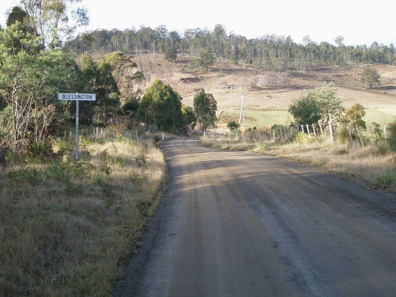 |
Blessington locality marker on Sawpit Hill Rd (C413), eastbound entering the locality of Blessington. Source: Peter Renshaw, June 2007. |
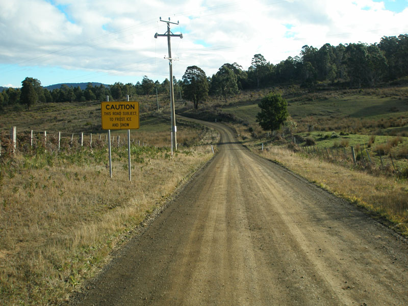 |
Sawpit Hill Rd (C413) looking west from Blessington, showing warning sign for frost, ice and snow. Source: Peter Renshaw, June 2007. |
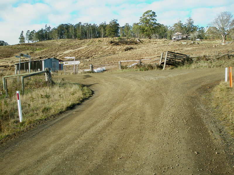 |
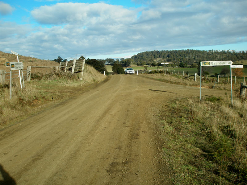
Sawpit Hill Rd (C413) looking east at its eastern terminus, the junction with Deddington Rd (C420), Blessington. Source: Peter Renshaw, June 2007. |
 |
Deddington Rd (C420) looking south at the junction with Sawpit Hill Rd (C413), Blessington. Source: Peter Renshaw, June 2007. |
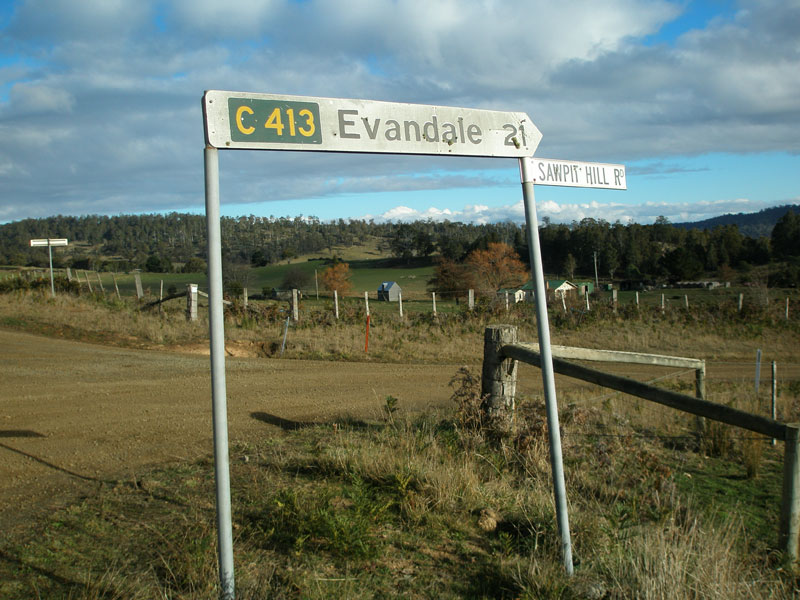 |
Close-up of the fingerboard sign pointing C413 traffic down Sawpit Hill Rd towards Evandale. Source: Peter Renshaw, June 2007. |
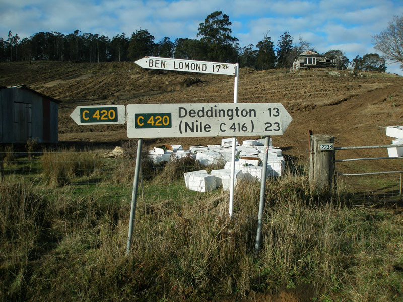 |
Fingerboard signs facing Sawpit Hill Rd (C413) traffic at the junction with Deddington Rd (C420). Note the absence of a focal point for the left turn - even following the improvements to signage at the Evandale end, this assembly remains without any reference to Ben Lomond National Park. Source: Peter Renshaw, June 2007. |
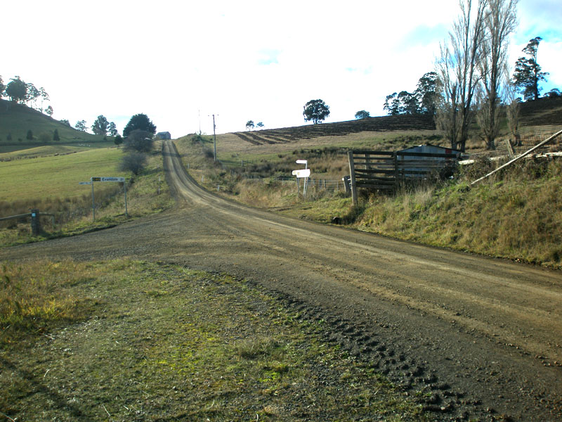 |
Deddington Rd (C420) looking north to the junction with Sawpit Hill Rd (C413), Blessington. Source: Peter Renshaw, June 2007. |

Last updated 29 October 2012 © Ozroads 2003-2012. |