Midland Hwy to Longford |
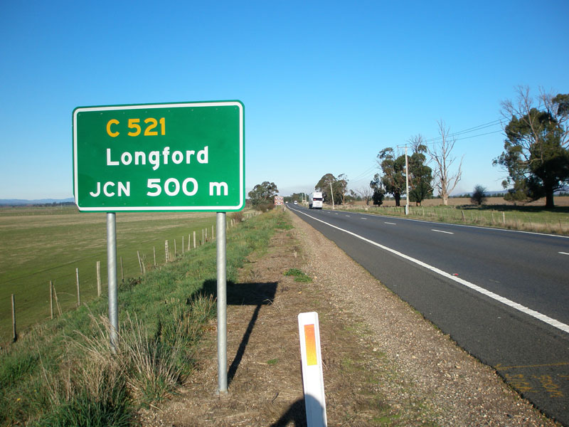
AD sign southbound on Midland Hwy approaching the junction with Woolmers Lane (C521), 6km south of Perth. Source: Peter Renshaw, June 2007.
Introduced: 1980
Length: 6km
Eastern Terminus: Midland Highway (NH1) & Woolmers Lane (C521), 6km south of Perth
Western Terminus: Woolmers Lane (C520/C521) & Chintah Rd (C520), 6km south of Longford
Route taken: Woolmers Lane
Focal Points: National Highway 1, Longford
Responsibility: Local Government
Route C521 is a rural route in the northern midlands of Tasmania, providing a southern connection between the Midland Highway and, in conjunction with C520, the township of Longford, south of Launceston. It is fully sealed throughout its short 6km length and is advertised as the primary route to Longford for northbound Midland Highway traffic.
C521 also provides access from the Midland Highway to the tourist destinations of Woolmer's Estate and Brickendon Farm Village.
|
Photos of route C521 |
|
|
AD sign southbound on Midland Hwy (NH1) approaching the junction with Woolmers Lane (C521), 6km south of Perth. Source: Peter Renshaw, June 2007. |
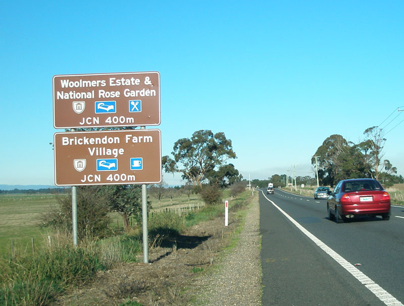 |
Tourist AD signs southbound on Midland Hwy (NH1) approaching the junction with Woolmers Lane (C521), 6km south of Perth. Source: Peter Renshaw, June 2007. |
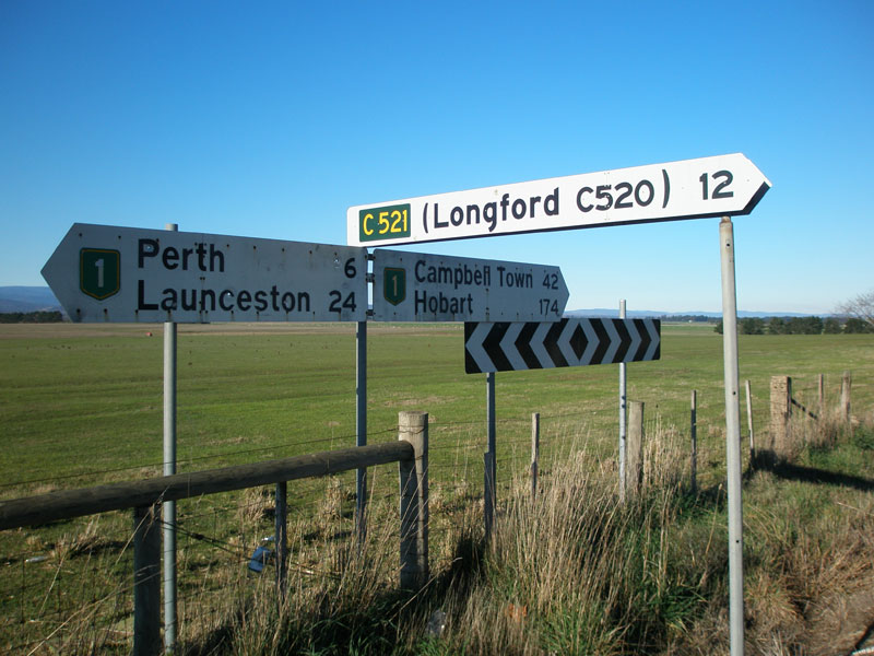 |
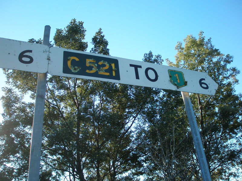
Fingerboard signs at the junction of Midland Hwy (NH1) & Woolmers Lane (C521), 6km south of Perth. Source: Peter Renshaw, June 2007. |
 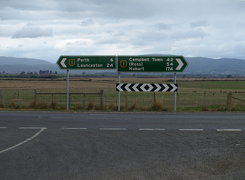 |
Replacement fingerboard signs at the junction of Midland Hwy (NH1) & Woolmers Lane (C521), 6km south of Perth. Source: Peter Renshaw, May 2008. |
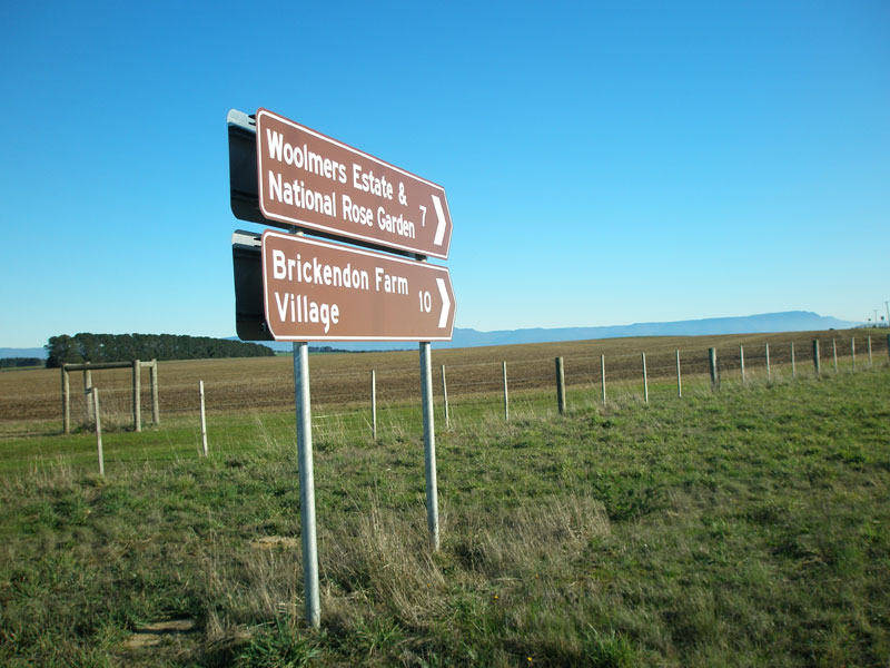 |
Tourist ID/fingerboard signs facing southbound Midland Hwy (NH1) traffic at the junction with Woolmers Lane (C521), 6km south of Perth. Source: Peter Renshaw, June 2007. |
 |
Woolmers Lane (C521) looking west from Midland Highway. Source: Peter Renshaw, June 2007. |
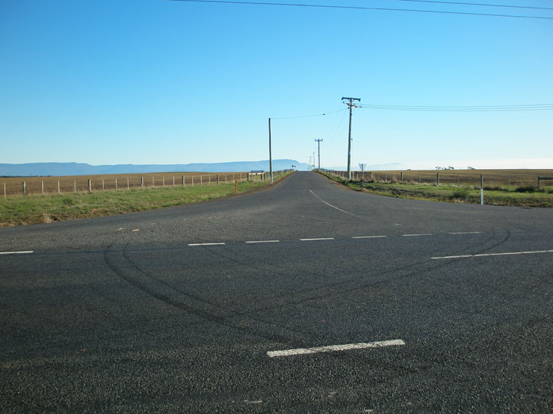
Woolmers Lane (C521) looking east towards the junction with Midland Highway (NH1). Source: Peter Renshaw, June 2007. |
|
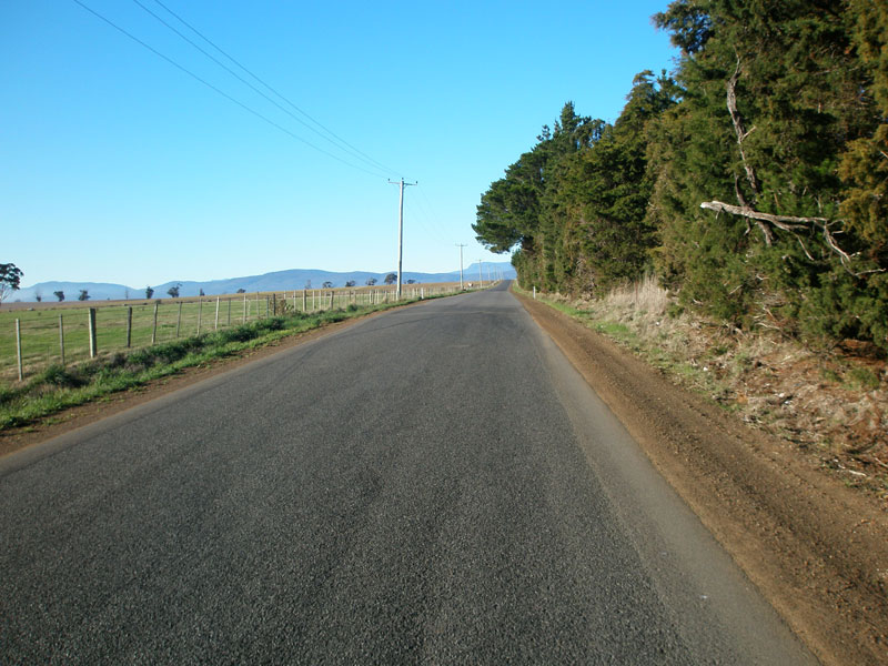 |
Woolmers Lane (C521) looking east about 1.5km west of Midland Highway (NH1). Pretty flat and pretty straight just about sums up C521. Source: Peter Renshaw, June 2007. |
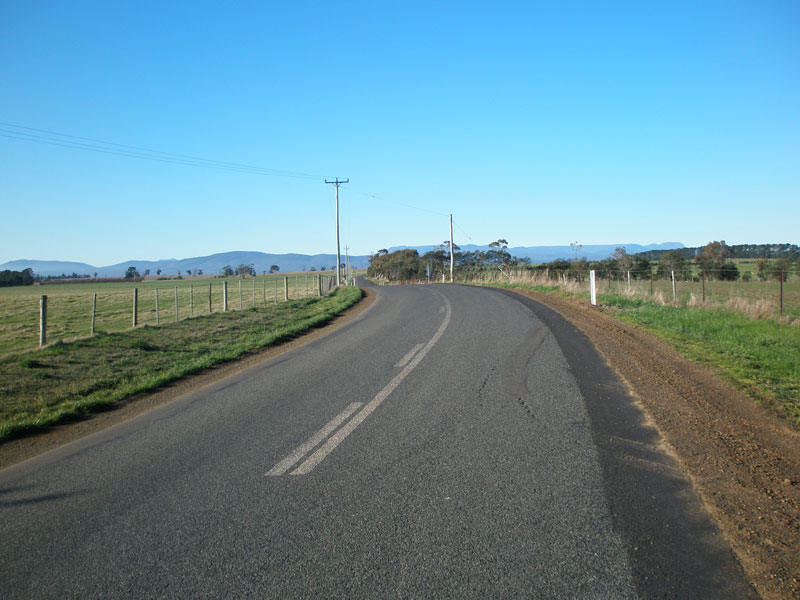 |
Woolmers Lane (C521) looking west showing a curve! Line-marking on this route is only evident on these curves. Source: Peter Renshaw, June 2007. |
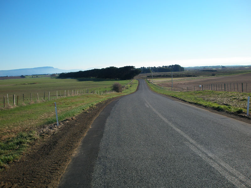 |
Woolmers Lane (C521) looking west about 3km west of Midland Highway (NH1). Source: Peter Renshaw, June 2007. |
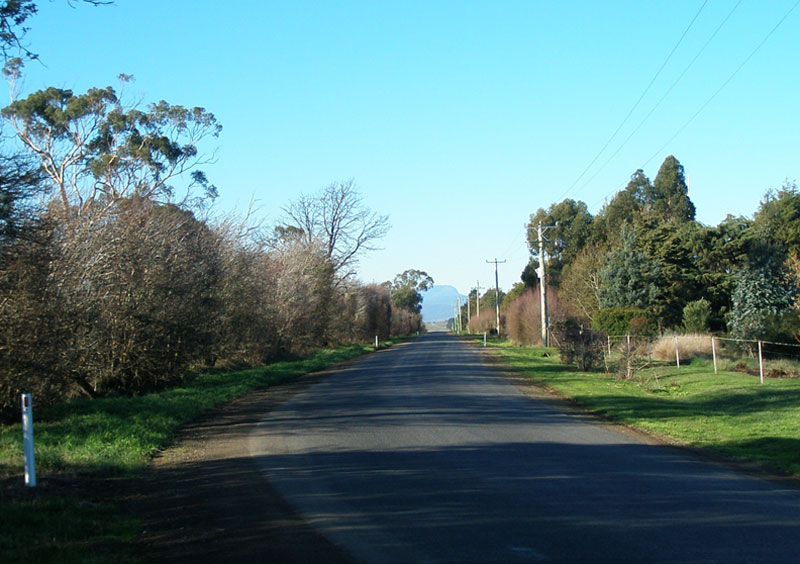 |
Woolmers Lane (C521) looking west - this is the last 200m or so of C521. Source: Peter Renshaw, June 2007. |
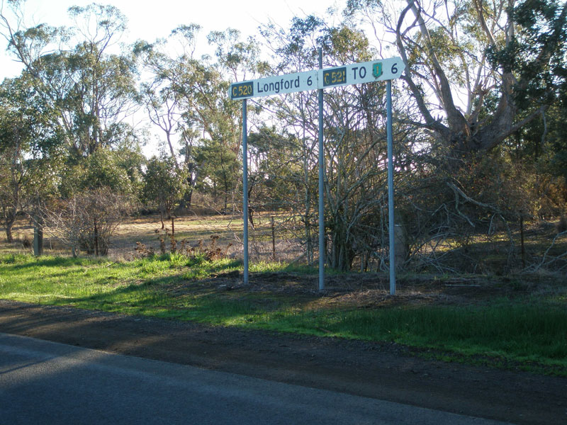 |
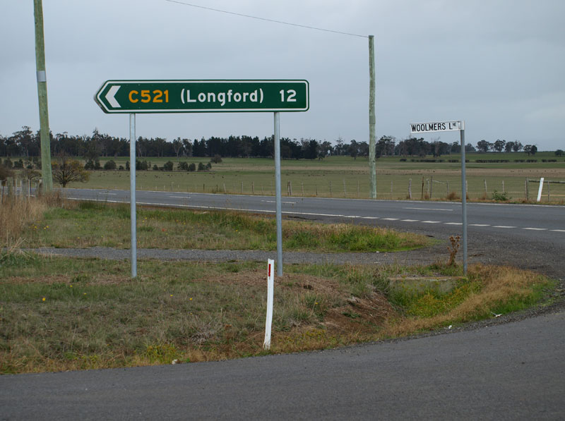
Fingerboard signs at the junction of Woolmers Lane (C520/C521) & Panshanger Rd (C520), 6km south of Longford. Note the absence of fingerboards pointing C520 traffic south along Panshanger Rd. Source: Peter Renshaw, June 2007. |
 |
Close-up of the C521 fingerboard sign at the junction of Woolmers Lane (C520/C521) & Panshanger Rd (C520), showing lichen growing from the route markers. Source: Peter Renshaw, June 2007. |
Last updated 26 July 2009 © Ozroads 2004-2007. |