Blackwall - Batman Bridge |
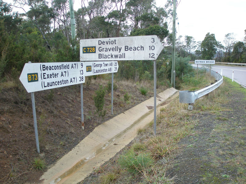
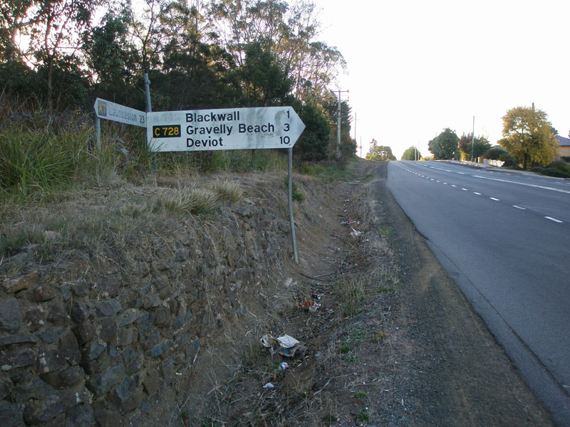
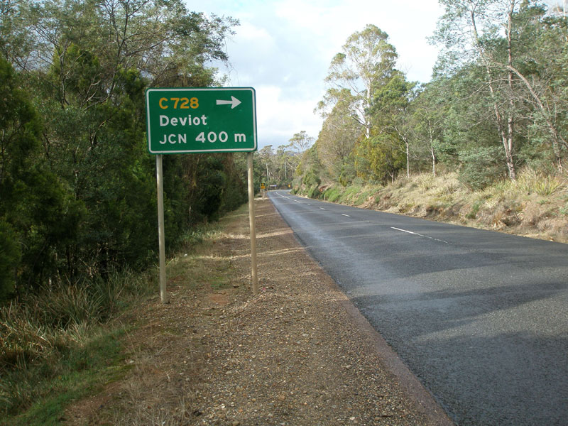
Fingerboard signs at the northern terminus of C728 - the junction of Batman Hwy (B73) and Deviot Rd. Source: Peter Renshaw, May 2007.
Introduced: 1980
Length: 13km
Northern Terminus: Batman Highway (B73) & Deviot Rd (C728), Batman Bridge
Southern Terminus: West Tamar Highway (A7) & Gravelly Beach Rd (C728), Blackwall
Route taken: Gravelly Beach Rd, Deviot Rd
Focal Points: Blackwall, Gravelly Beach, Deviot, Batman Bridge
Responsibility: Local Government
Route C728 is a local route in the western Tamar Valley, skirting the Tamar River from Blackwall north to Batman Bridge. It provides access to a handful of small fishing and tourist villages along the Tamar River, including Blackwall, Gravelly Beach, Robigana and Deviot. The route is fully sealed.
|
Photos of route C728 |
|
  |
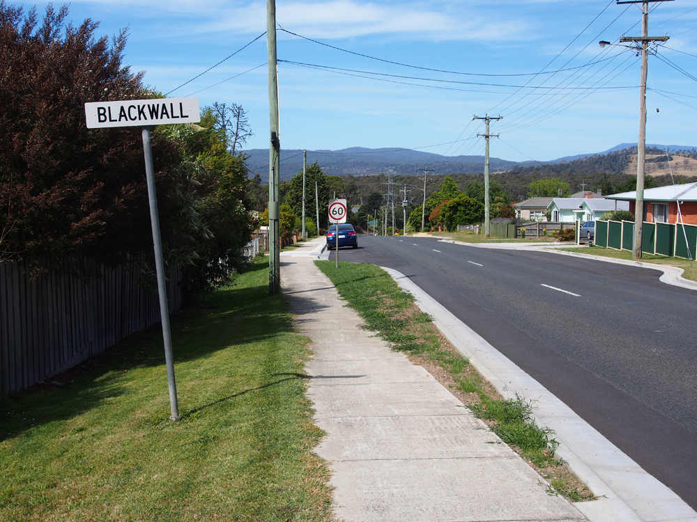
Old and new AD signs northbound on West Tamar Highway (A7) approaching the junction with Gravelly Beach Rd (C728) at Blackwall. Top photo: Peter Renshaw, July 2007. Bottom photo: Peter Renshaw, December 2012. |
  |
Old and new AD signs southbound on West Tamar Highway (A7) approaching the junction with Gravelly Beach Rd (C728) at Blackwall. Top photo: Peter Renshaw, July 2007. Bottom photo: Peter Renshaw, December 2012. |
 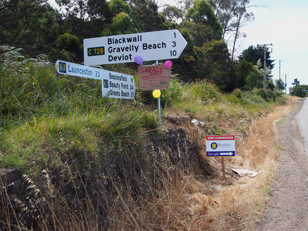 |
Old and new fingerboard sign assemblies at the junction of West Tamar Highway (A7) and Gravelly Beach Rd (C728), Blackwall. Top photo: Peter Renshaw, April 2007. Bottom photo: Peter Renshaw, December 2012. |
  |
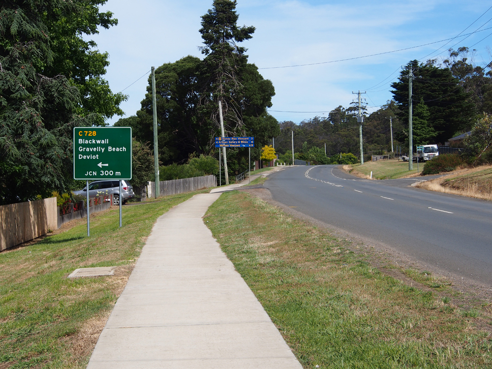
Two views showing 'then' and 'now' on Gravelly Beach Rd (C728), looking east from West Tamar Hwy (A7) into Blackwall. Top photo: Peter Renshaw, May 2007. Bottom photo: Peter Renshaw, December 2012. |
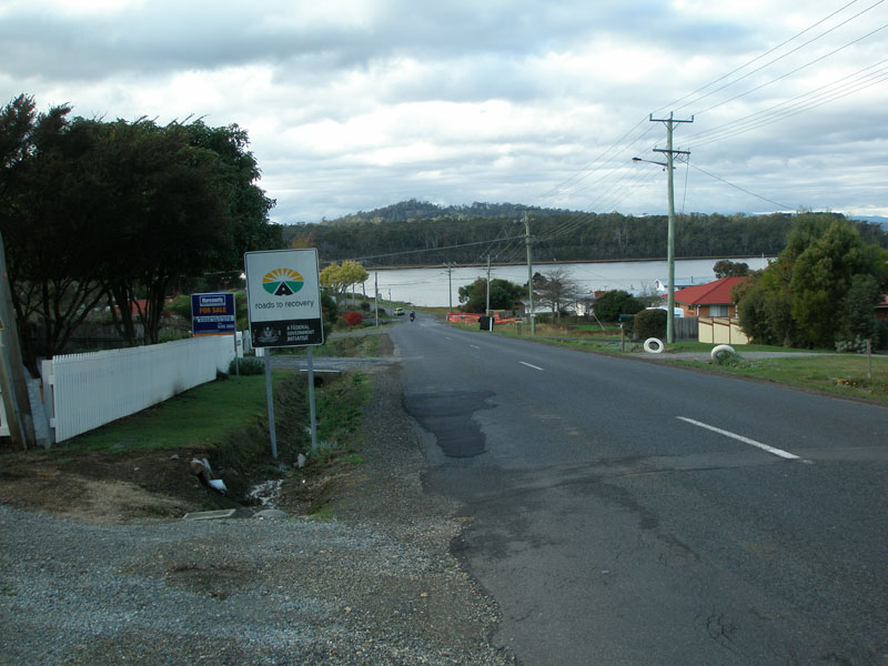 |
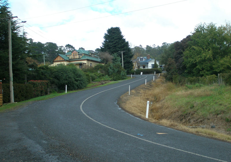
Gravelly Beach Rd looking east in Blackwall, with the Tamar River in the background. Source: Peter Renshaw, May 2007. |
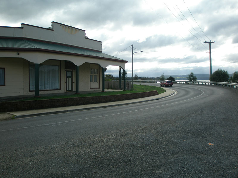 |
A former shop lines the northern side of Gravelly Beach Rd as it turns north in Blackwall. Source: Peter Renshaw, May 2007. |
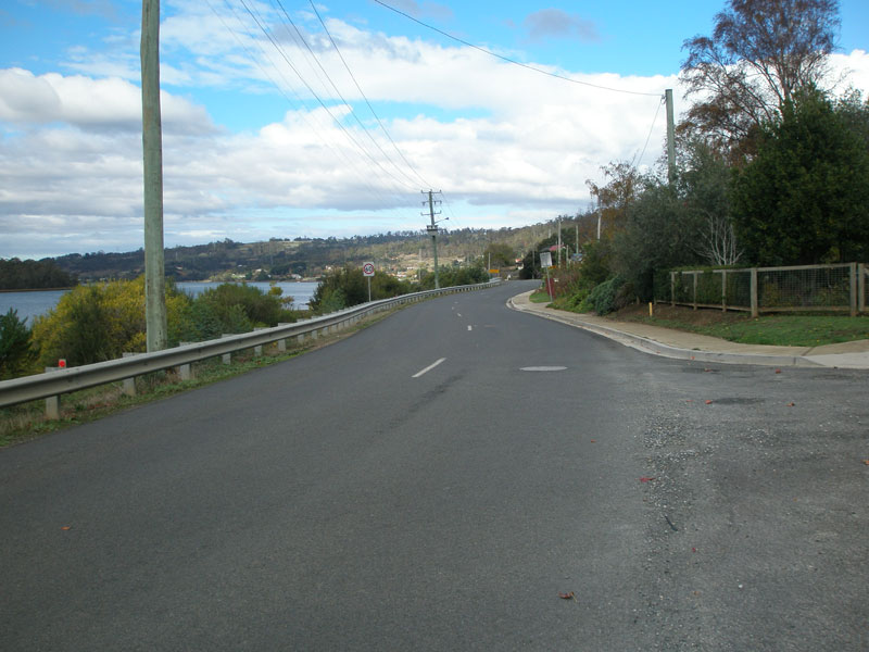 |
Gravelly Beach Rd looking south in Blackwall, with the Tamar River alongside. Source: Peter Renshaw, May 2007. |
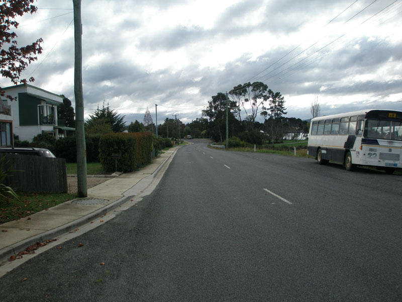 |
Gravelly Beach Rd looking north in Blackwall towards the crossing of Stoney Creek. Source: Peter Renshaw, May 2007. |
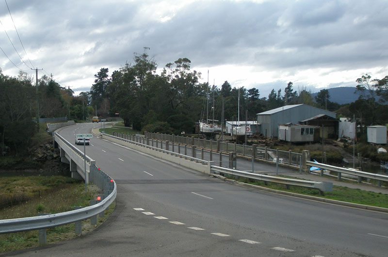 |
Gravelly Beach Rd, looking north at the crossing of Stoney Creek. Note the old single-lane concrete bridge downstream of the current bridge, still in use as a footbridge. Source: Peter Renshaw, May 2007. |
 |
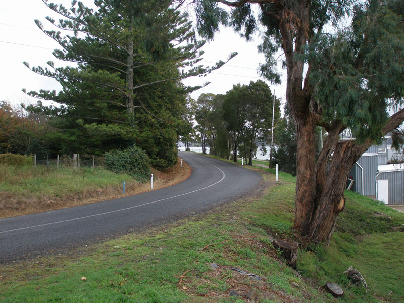
Gravelly Beach Rd, looking south on the outskirts of Gravelly Beach. Source: Peter Renshaw, May 2007. |
 |
Gravelly Beach Rd, looking north on the outskirts of Gravelly Beach. Source: Peter Renshaw, May 2007. |
 |
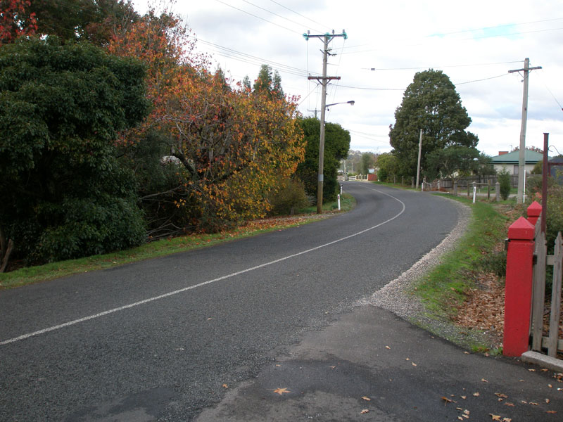
Gravelly Beach Rd, looking north near the Paper Beach Rd turnoff. Source: Peter Renshaw, May 2007. |
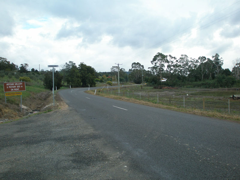 |
Deviot Rd, looking north entering Robigana. Source: Peter Renshaw, May 2007. |
 |
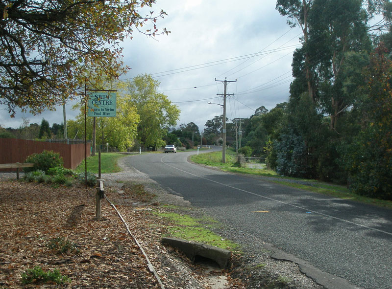
Deviot Rd, looking north through Robigana. Source: Peter Renshaw, May 2007. |
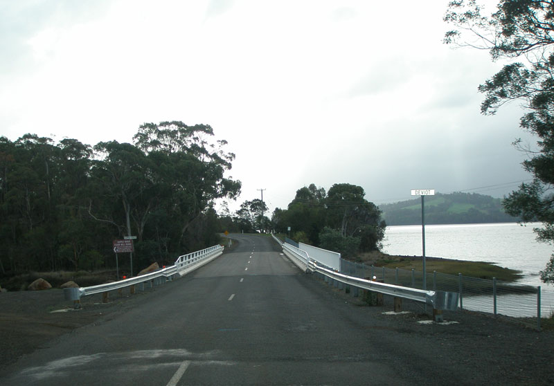 |
Deviot Rd looking north to the recently-constructed bridge over the Supply River at Robigana. Source: Peter Renshaw, May 2007. |
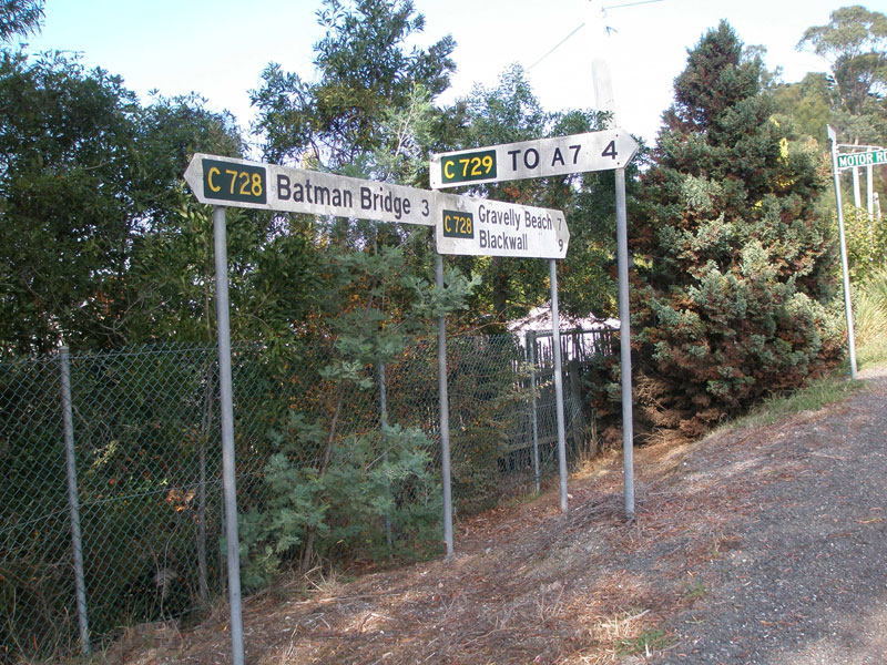 |
Fingerboard signs at the junction of Deviot Rd (C728) and Motor Rd (C729) in Deviot. Note the use of "To A7" as a focal point for route C729 - this is not uncommon in Tasmania as some C routes simply connect other routes, rather than connecting towns and villages. Source: Peter Renshaw, April 2007. |
 |
Deviot Rd looking south through Deviot, north of the junction with Motor Rd (C729). Source: Peter Renshaw, May 2007. |
 |
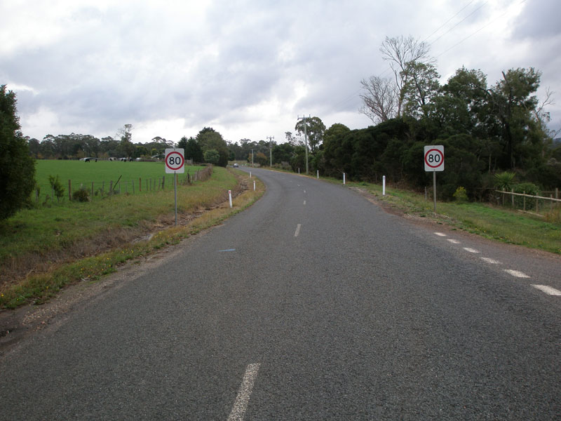
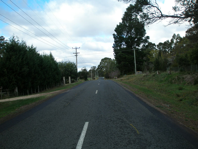
Deviot Rd looking north through Deviot alongside the Tamar River. Source: Peter Renshaw, May 2007. |
|
Fingerboards at the junction of Batman Highway (B73) & Deviot Rd (C728). This is the northern terminus of C728 . Source: Peter Renshaw, May 2007. |
 |
Batman Highway looking east towards the junction with Deviot Rd, near Batman Bridge. Source: Peter Renshaw, May 2007. |
Last updated 23 December 2012 © Ozroads 2003-2012. |