Targa Hill Road |
Fingerboard sign assembly at the junction of Targa Hill Rd (C828) & Myrtle Bank Rd at Myrtle Bank. Source: Peter Renshaw, June 2007.
Introduced: 1980
Length: 4km
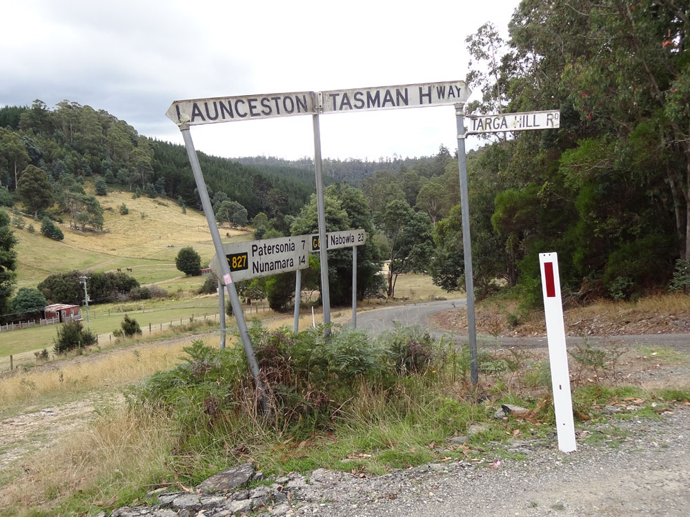
Eastern Terminus: Tasman Highway (A3) & Targa Hill Rd (C828), Targa
Western Terminus: Patersonia Rd (C854) & Targa Hill Rd (C828), 2km west of Myrtle Bank
Route taken: Targa Hill Rd
Focal Points: Targa
Responsibility: Local Government
C828 is a short connecting route east of Launceston, running generally northwest to southeast and linking the Tasman Highway (A3) at Targa with the northern end of Patersonia Road (C854). It is mostly unsealed.
Prior to 2011, C828 also connected to C827 which originally extended from Nunamara, through Patersonia to Nabowla and thence to the Bridport Road (B82). In 2011, the portion of C827 south of Nabowla was officially decommissioned, with the portion from Targa Hill Road to Nunamara renumbered as C854. The western terminus of C828 therefore also forms the northern terminus of C854.
|
Photos of route C828 |
|
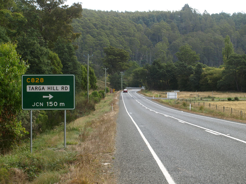 |
New AD sign, installed in early 2009, westbound on Tasman Highway approaching the junction with Targa Hill Road (C828), Targa. Prior to 2009 there were no AD signs at this junction. Source: Peter Renshaw, March 2009. |
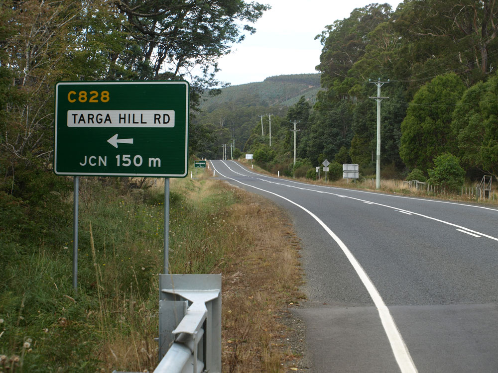 |
New AD sign, installed in early 2009, eastbound on Tasman Highway approaching the junction with Targa Hill Road (C828), Targa. Prior to 2009 there were no AD signs at this junction. Source: Peter Renshaw, March 2009. |
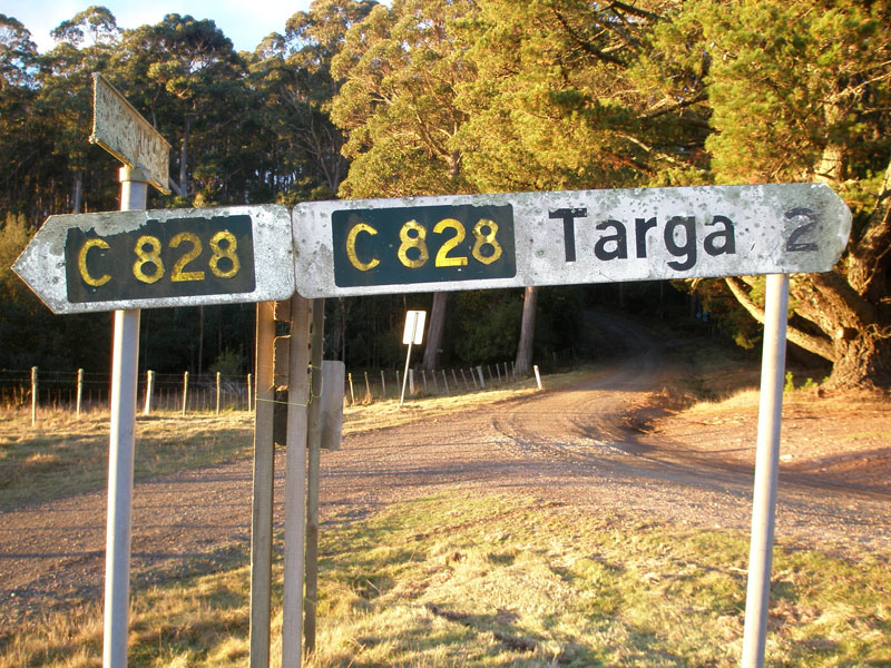
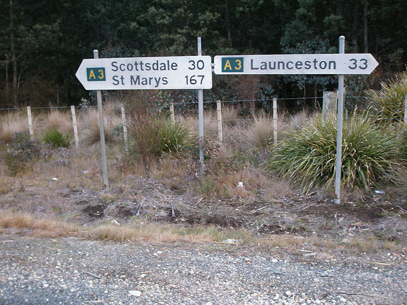
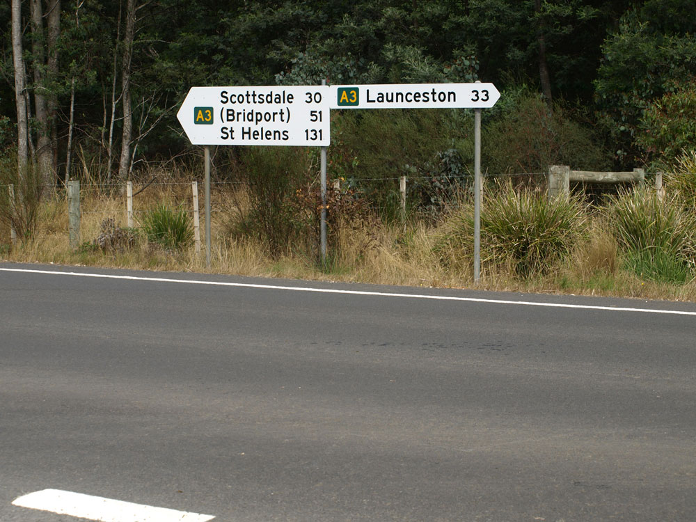
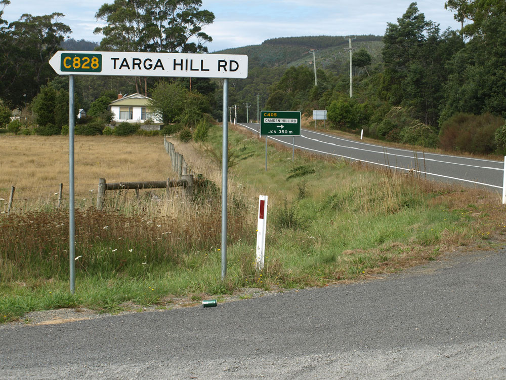
Old and new A3 fingerboard sign assemblies at the junction of Tasman Highway (A3) & Targa Hill Road (C828), Targa. |
|
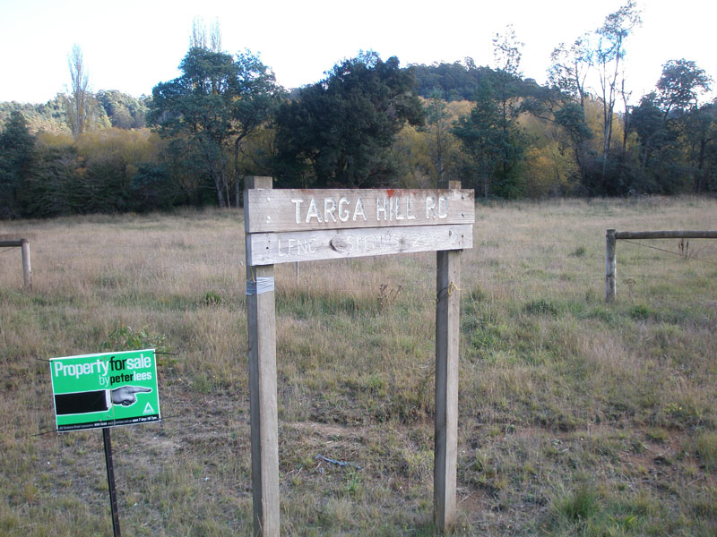
The top photo shows an unusual wooden sign denoting Targa Hill Rd (C828) at the junction with Tasman Highway (A3). For several years, up until 2009, there was no fingerboard sign for C828 at this junction. A new fingerboard sign, shown in the bottom photo, was installed in early 2009 as part of a wider upgrade to signage along this section of Tasman Highway. |
|
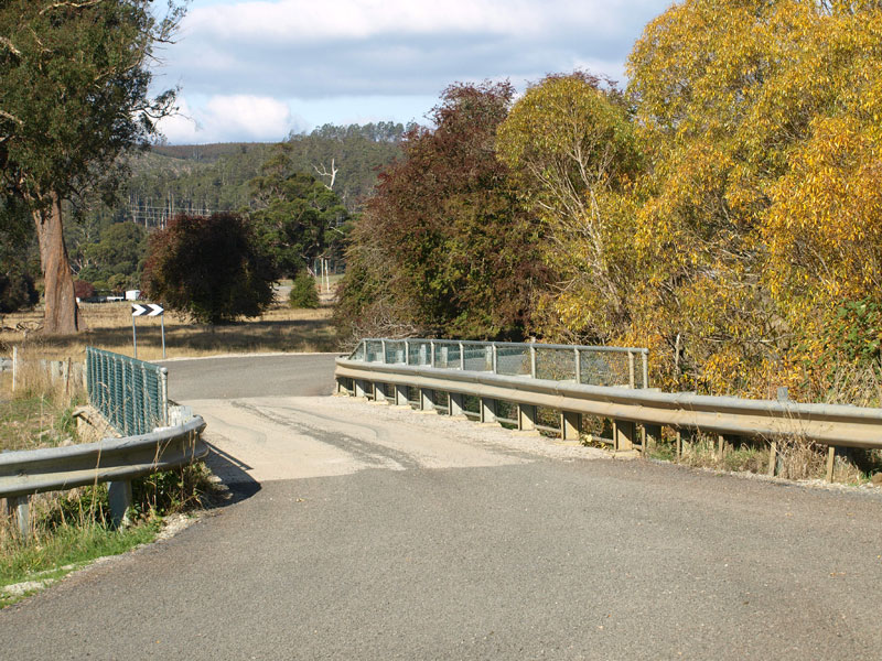
A short distance north of the Tasman Highway (A3), Targa Hill Rd (C828) crosses St Patricks River on this narrow concrete bridge. This view is looking south. Source: Peter Renshaw, April 2008. |
|
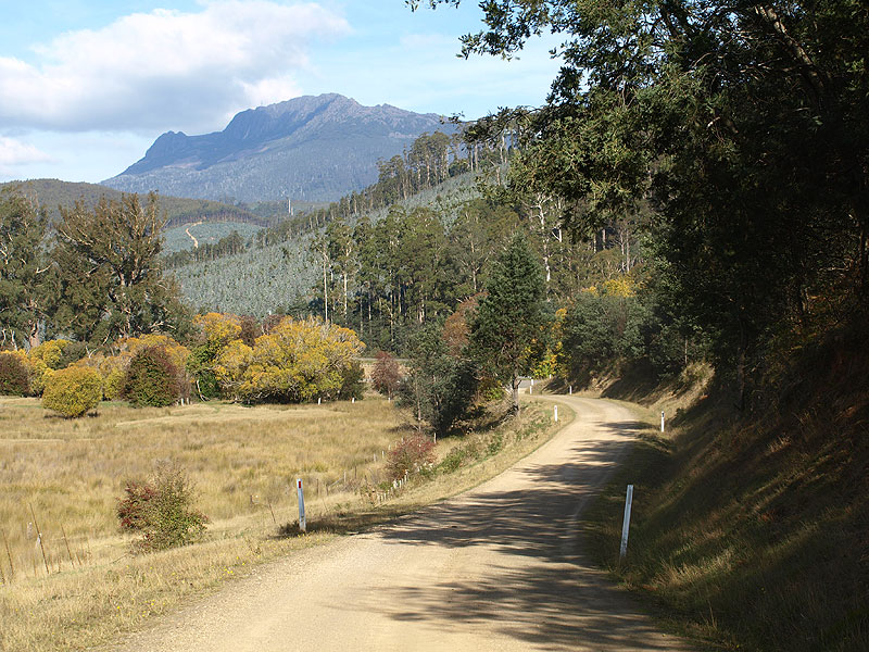 |
Targa Hill Rd (C828) looking south towards the bridge over St Patricks River with Mount Barrow as a backdrop. Source: Peter Renshaw, April 2008. |
 |
Targa Hill Rd (C828) looking northwest as it skirts the base of Targa Hill. Source: Peter Renshaw, April 2008. |
Targa Hill Rd (C828) looking southeast as the route climbs/descends Targa Hill. Source: Peter Renshaw, April 2008. |
|
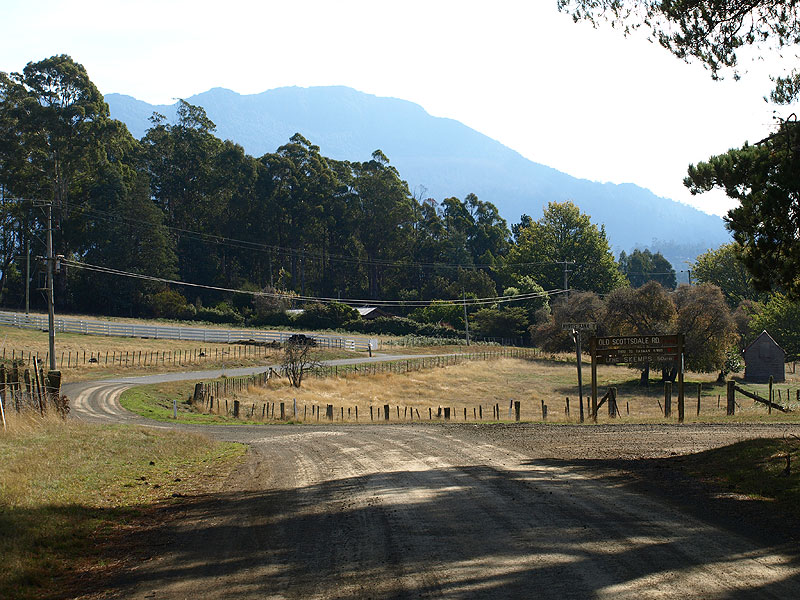 |
Targa Hill Rd (C828) looking west at the tiny hamlet of Myrtle Bank. Myrtle Bank Rd (aka Old Scottsdale Rd) joins on the right in the foreground. Source: Peter Renshaw, April 2008. |
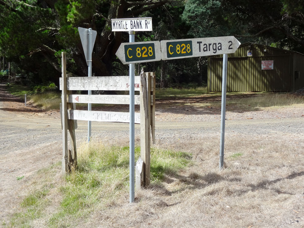  |
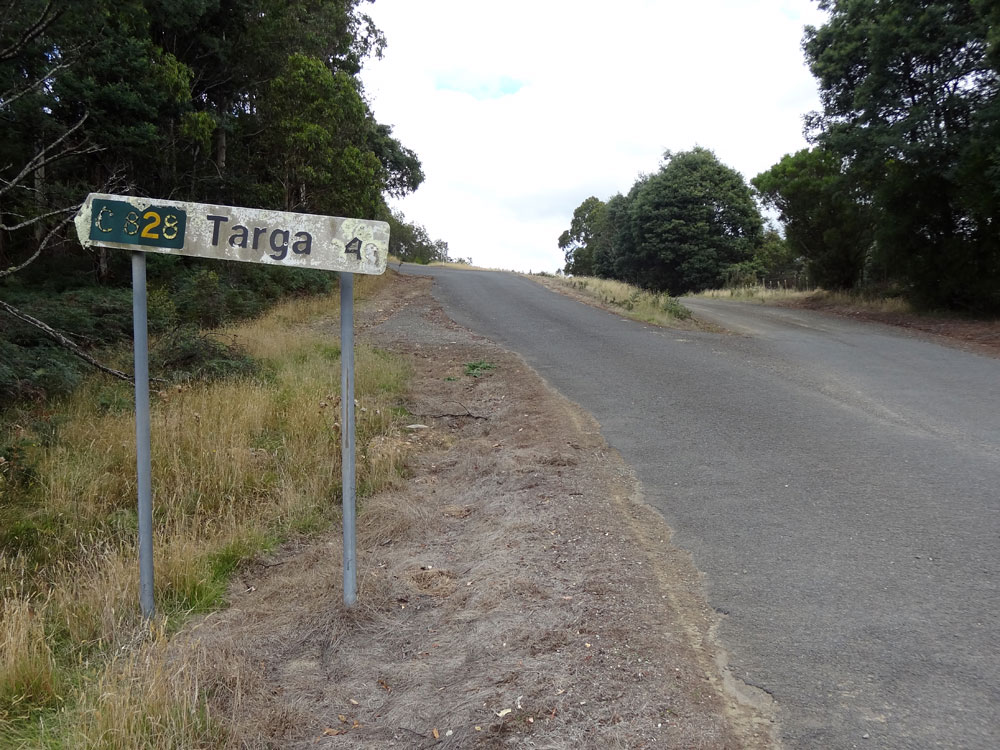
Fingerboard sign assembly at the junction of Targa Hill Rd (C828) & Myrtle Bank Rd at Myrtle Bank. Note how the signs are not facing the side-road and are only visible to through traffic. This peculiarity is unique to Tasmania's C routes. Source: Peter Renshaw, March 2009. |
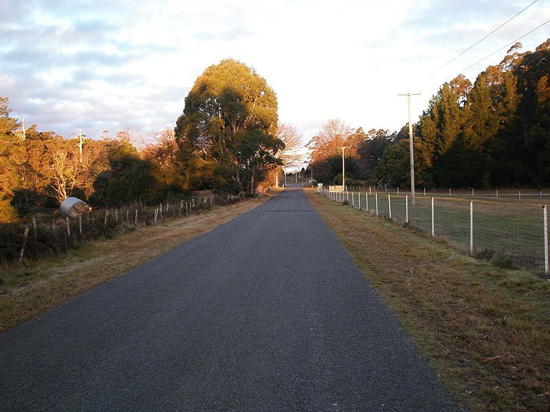 |
Targa Hill Rd (C828) looking southeast through the hamlet of Myrtle Bank. Source: Peter Renshaw, June 2007. |
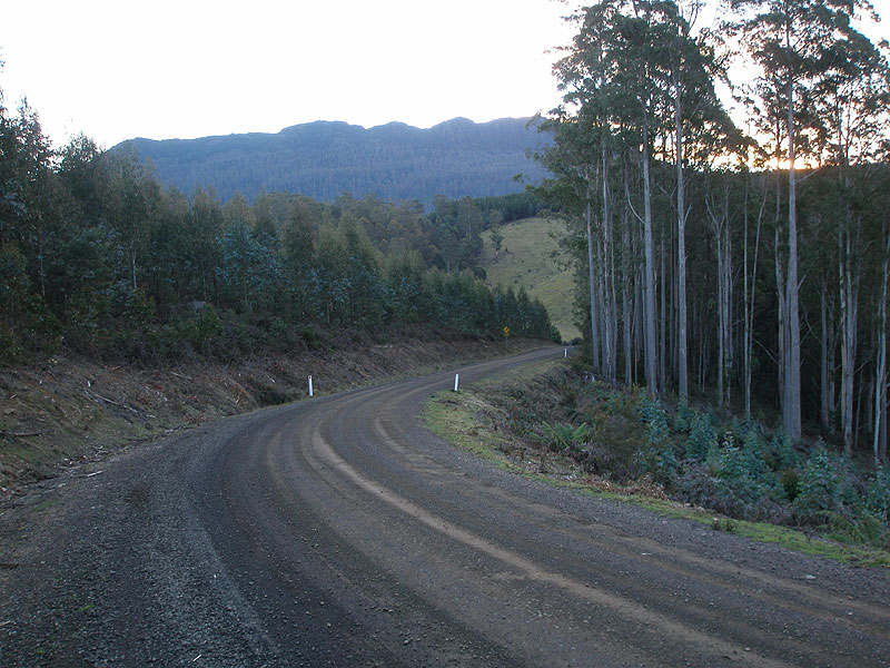 |
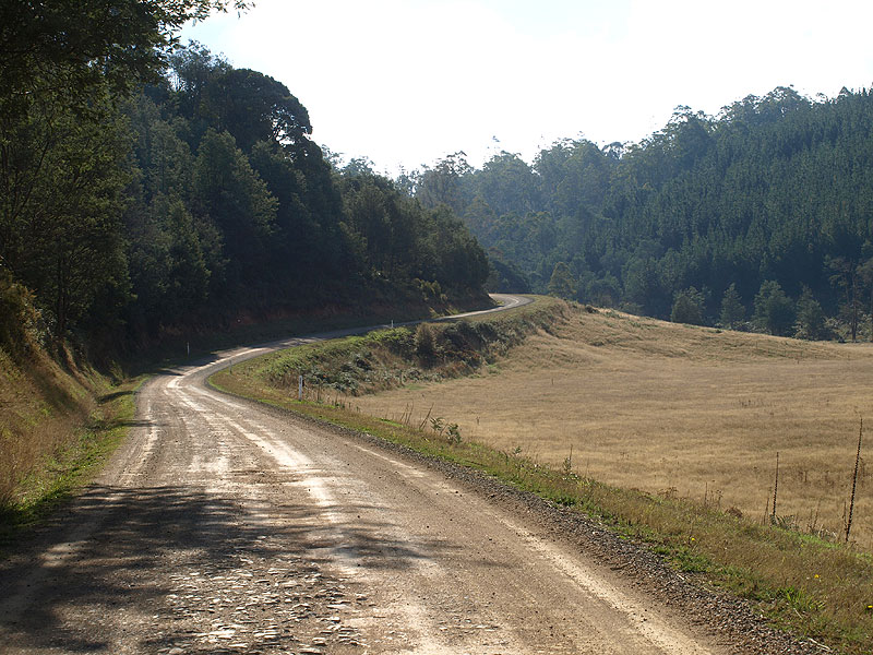
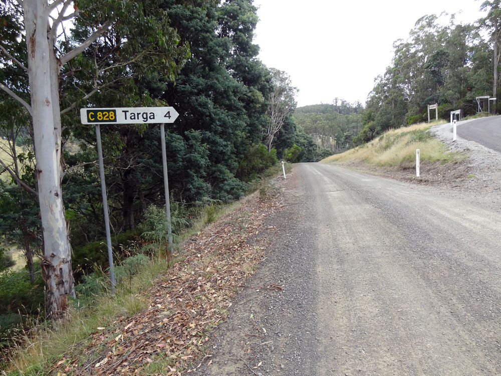
Targa Hill Rd (C828) looking northwest on the descent from Myrtle Bank to Patersonia Rd (C854). |
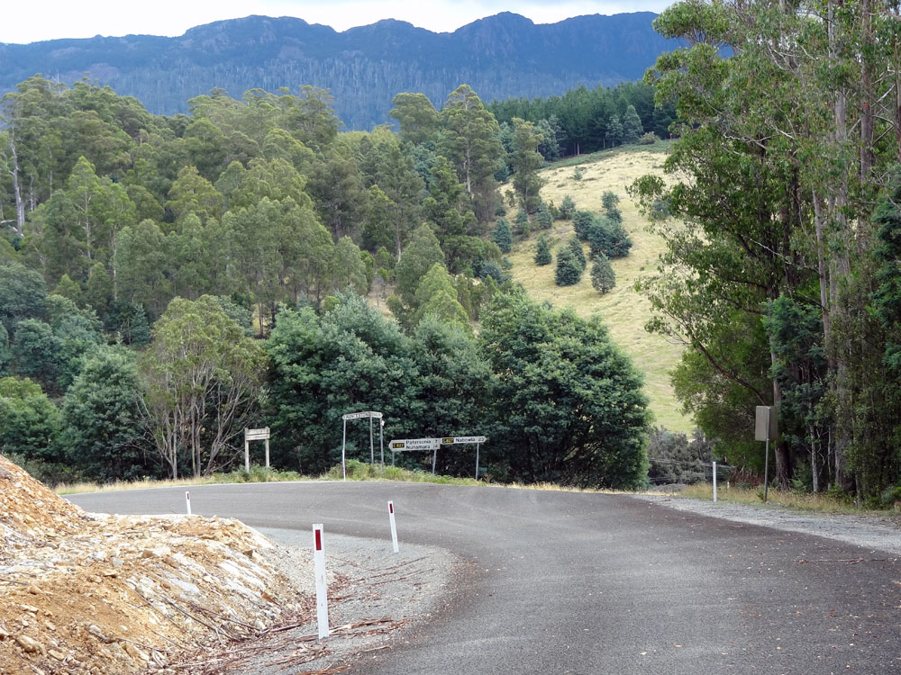 |
Targa Hill Road (C828) looking northwest to the junction with Patersonia Road (C854). Mt Arthur forms an imposing backdrop. |
 |
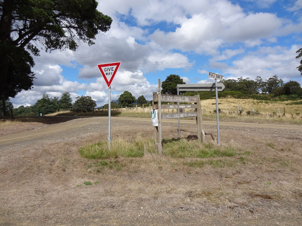
The junction of Patersonia Rd (C854) & Targa Hill Rd (C828) is an unusual triangle junction. This view shows the sign assemblies at the apex of the triangle, with the north and south branches in the background. These signs have yet to be updated by Launceston City Council to reflect the route numbering change that was made official in 2011. Source: Peter Renshaw, March 2012. |
 |
Fingerboard sign facing southbound traffic on Patersonia Rd at the junction with Targa Hill Rd (C828). Note that Patersonia Rd continues to the right of the photo as the hypotenuse of the triangle, picking up the C854 route code for its journey to Nunamara. Source: Peter Renshaw, March 2012. |
 |
Fingerboard sign facing northbound traffic on Patersonia Rd (C854) showing the junction with Targa Hill Rd (C828). Source: Peter Renshaw, March 2012. |
Last updated 13 March 2012 © Ozroads 2003-2012. |