ANZAC BRIDGE

Easterly view of Anzac Bridge from the White Bay Footbridge on Victoria Rd, March 2004.
Location: Carries the Western Distributor over the waterway separating Glebe Island and the Pyrmont Peninsula in Sydney, NSW
Length: 345m - longest cable-stayed bridge in Australia
Route numbers: State Route 40/Metroad 4
Opened to traffic: 3rd December 1995 (as Glebe Island Bridge)
Renamed: 11th November 1996
Anzac Bridge carries 8 lanes of traffic (4 in either direction) across Johnstons Bay, the waterway separating Pyrmont and Rozelle. The bridge is the longest of its type in Australia at 345m. It is now the main western entrance to the Sydney CBD, replacing Parramatta Rd and Broadway.
In the 1850's the Sydney abbattoirs was established on Glebe Island and access was provided via a causeway to Rozelle. As the population grew residents soon complained about the droving of cattle and sheep through the streets and demanded that the abbattoirs close. To stop the protests and provide better access to the rapidly growing suburbs west of Balmain a bridge was constructed in 1857 using Tasmanian blackbutt. This bridge was known as "Blackbutt Bridge".
By 1903, redevelopment of Glebe Island was well underway and a new bridge was required. A new four-lane steel structure with a swing-span to allow for the passage of large ships was constructed. This new bridge, named "Glebe Island Bridge" was opened to traffc in July 1903. This was one of the first electronically controlled opening bridges in the world. Although the the abbattoirs moved out to Homebush in 1918, it wasn't many years before development again took over this bridge. By 1980, up to 80,000 vehicles were crossing the bridge daily and the need to keep opening the bridge for shipping purposes created a notorious bottleneck.
In 1985 the Department of Main Roads began working closely with the community to look at solutions to thius bottleneck. It was decided to build a seven-lane, high-level bridge and viaduct to connect with the existing Western Distributor viaducts that unceremoniously dumped traffic onto the streets of Pyrmont. In August 1985 an environmental impact statement was completed, paving the way for stages 1 & 2, the viaducts from Darling Harbour to Pyrmont Bridge Rd, to be commenced in June 1986 and opened to traffic in December 1987. Construction of Stage 3, the bridge and its approaches, was commenced in 1989.
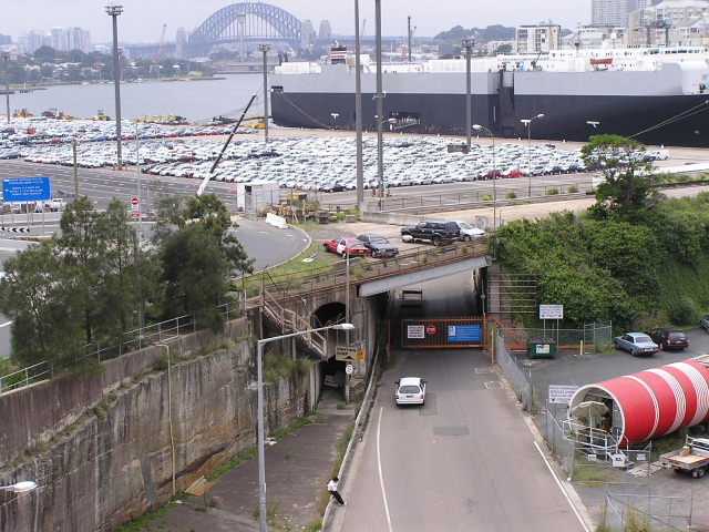
The first stage of the bridge/approach project was opened to traffic was the City West Link underpass beneath Victoria Rd for citybound traffic which opened in December 1991. The actual bridge and approaches were delivered under-budget and fifteen months ahead of schedule, opening to traffic on 3 December 1995. The bridge was named "Glebe Island Bridge", directly replacing the swing span bridge which was permanently opened from this day. The bridge gained the name "Anzac Bridge" as a tribute to Anzac soldiers and was dedicated by Labour Premier Bob Carr in a ceremony on Rememberance Day 1996.
Changes to the traffic using the bridge assosciated with the soon-to-be-opened Cross City Tunnel (expected completion late 2005) have made it necessary to make an additional westbound lane available to all traffic. There has long been a bottleneck for westbound traffic where 3 lanes merge into 2 above Pyrmont Bridge Rd and with the increased traffic flow from the CCT this would only become worse. Rather than widen the bridge deck, which would involve major adjustments to the support towers and abutment, the RTA devised a plan which would allow 8 lanes a reduced 3.1m width (original lanes were 3.5m wide). The re-arrangement of the travelling lanes was completed in January 2005.
Photos of Anzac Bridge |
|
 |
The original "Blackbutt Bridge" in the late 1800's. |
 |
Victoria Rd approach to the bridge c.1920's. |
1994 view of construction of the Anzac Bridge. |
|
 |
Construction of the western approaches during 1994. |
 |
View from the the easter tower of the approaches across the Fish Markets under construction early in 1995. |
 |
Night view of construction on the western approaches during 1995. |
Night view of the Anzac Bridge. c. 1998. |
|
 |
Easterly view across the bridge from ground-level, March 2004. |
 |
Westerly view to the bridge from the Allen St off-ramp, Pyrmont. Photo taken March 2004. |
 |
Easterly view of the old and new bridges at Glebe Island. Photo taken March 2004. |
 |
Easterly view along the old bridge, which carried traffic from 1902-1995. Photo taken March 2004. |
 |
View of the now permanently opened span of the old Glebe Island Bridge. Photo taken March 2004. |
 |
View of the western abutment of the old bridge, showing quaint early 20th century architecture on the underpass. Photo taken March 2004. |
 |
The statue erected when the bridge was renamed on Rememberance Day in 1996 to commerate the ANZAC war veterans. Photo taken March 2004. |