PACIFIC HIGHWAY
Section: Eungai Creek/Allgomera Creek
Looking north along the Allgomera Creek Deviation. Nov 2005.
A section of dual carriageway approximately 8km long is located on the Pacific Highway in the Eungai Creek/ Allgomera Creek area. From the bridge over the North Coast Railway at Eungai Rail to just north of Allgomera Creek the highway was constructed along its present alignment in the mid 1980s (the railway overpass was built in 1983 but I have had others tell me they think the deviation was constructed after the railway bridge in about 1986 or 1987). This deviation was opened initially as a single carriageway realignment and was then duplicated as part of the Pacific Highway Upgrading Programme during the period between January 1998 and March 1999. The second carriageway was opened to traffic on 17 December 1998 , just in time for Christmas.
The bypassed route of the Pacific Highway is now known as Eungai Creek Rd, which itself appears to be an earlier bypass of Eungai Creek village - construction date unknown.
North of Allgomera Creek, as far as Upper Warrell Creek Rd , is the Allgomera Creek Deviation which was constructed as a dual carriageway realignment in 1993. The original route of the highway remains abandoned on the western side of the dual carriageways for approximately 3km. I don’t know if it is accessible by car.
This section of the highway has been developed to its ultimate standard and will not be altered as part of the Pacific Highway Upgrading Programme.
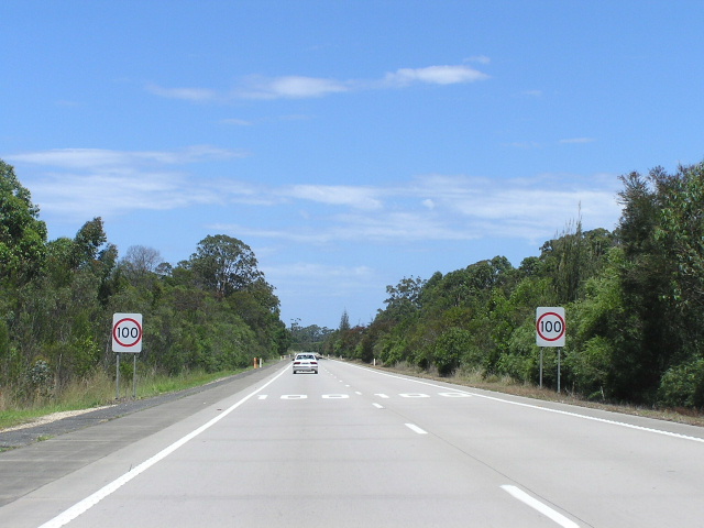
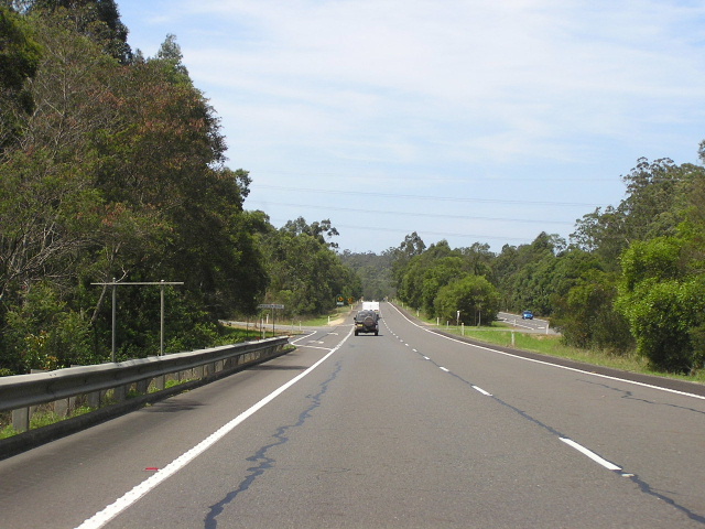
Current route of Pacific Highway (Eungai Deviation and Allgomera Creek Deviation) |
|
 |
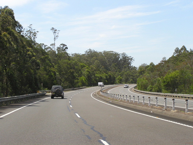
Looking south at the south end of the dual carriageways. Eungai railway bridge is the background and you can also see the pavement for future extension of the dual carriageways on the left of the AD sign. Nov 2005. |
 |
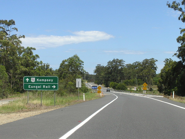
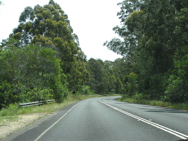
Looking north to Eungai Creek Rd (south). Nov 2005. |
 |
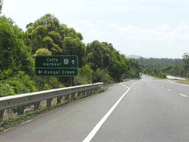
Looking south at the southern junction with Eungai Creek Rd. Nov 2005. |
 |
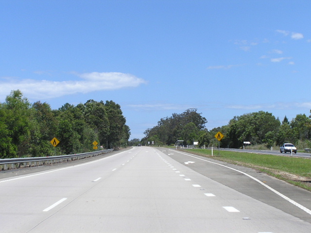
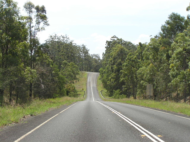
Looking south along the Eungai Deviation. Note the concrete pavement compared with the Allgomera Creek Deviation. Nov 2005. |
 |
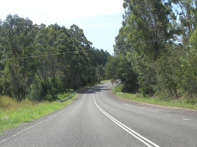
Looking north towards Browns Crossing Rd. Not sure what the sign that was on that structure said. Nov 2005. |
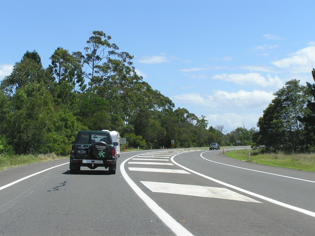 |
Looking south at the northern end of the dual carriageways. Nov 2005. |
|
Old Pacific Highway (Eungai Creek Rd, Ingalba Range Rd & Louies Ridge Rd) |
|
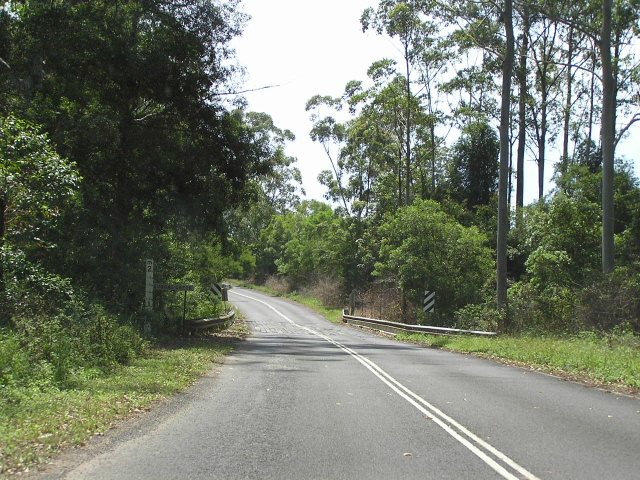 |
Looking north along Eungai Creek Rd at the old bridge over Enugai Creek, which was subject to flooding. Nov 2005. |
 |
Looking north along Eungai Creek Rd just before entering Eungai Creek township. Nov 2005. |
 |
Another northbound view of Eungai Creek Rd - this section is part of an earlier bypass of Eungai Creek Rd township. Nov 2005. |
 |
Old southbound overtaking lane approaching the Pacific Hwy again. Nov 2005. |