PACIFIC HIGHWAY
Section: Lyons Rd to Englands Rd
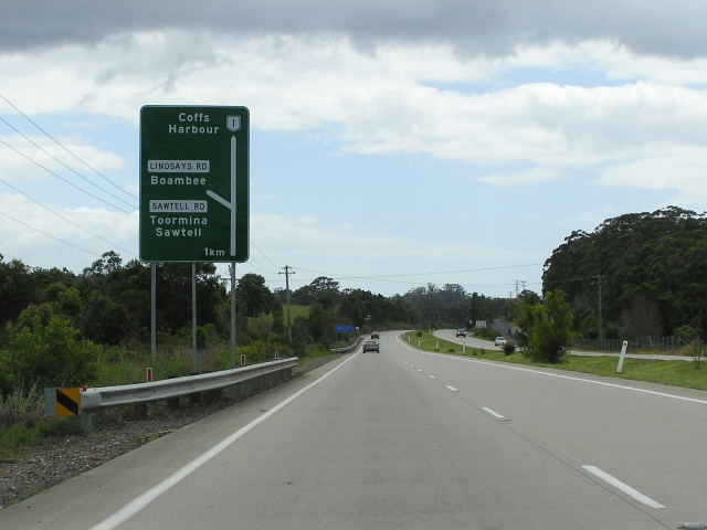
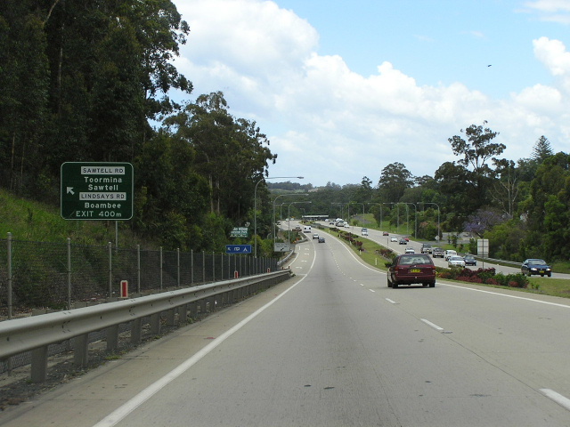
Looking south onto the Pacific Hwy from Sawtell Rd/Lindsays Rd. Aug 2004.
This 6km section of the Pacific Highway , as the name suggests, stretches from Lyons Rd in the south to Englands Rd in the north, in the vicinity of Boambee.
The original, 1928 route of the highway passed along today’s Strouds Rd and Lindsays Road through Boambee. As part of a major reconstruction of the highway between Coffs Harbour and Raleigh , the highway was relocated around the township of Boambee . The original route was characterised by narrow pavement and a winding alignment and the opportunity was taken by the Department of Main Roads to provide a much straighter alignment and a flood-free route across Boambee Creek. The deviation was opened to traffic in 1950.1
Despite increasing development in the area, particularly during the 1970s, minimal changes to the highway were effected until an upgrade was mooted as part of the Pacific Highway Upgrading Programme, launched in September 1996. Partially federally funded, the Lyons Road to Englands Rd upgrade was commenced in October 1997. Work basically involved a straight duplication of the highway, with two interchanges constructed at Lindsays Rd/Sawtell Rd and at Lyons Rd. All other intersections, except at Englands Rd where a large-radius roundabout was constructed, were restricted to left-in-left-out movements and new bridges were constructed to replace narrow structures over Boambee and Cordwells Creeks. The project was opened to traffic in May 2001 and final works were finished by December. At this stage, the Coffs Harbour bypass is to commence at the northern end of this section - at Englands Rd , however there are calls for the route to be moved further west, and thus it would probably reconnect with the existing highway further south.
Current Route of Pacific Highway |
|
 |
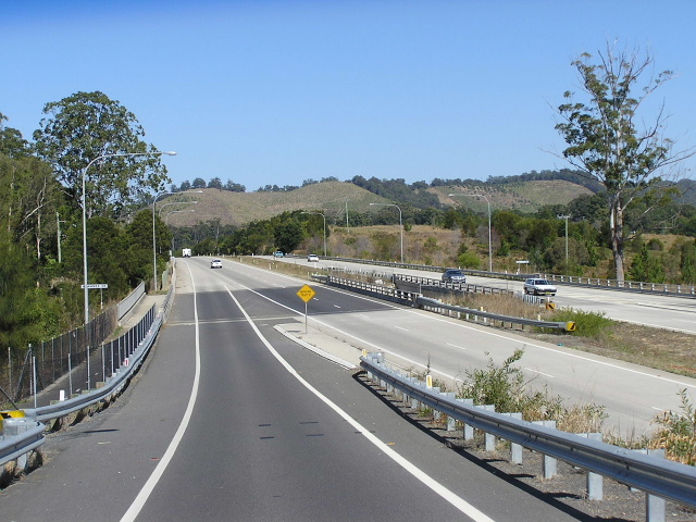
Heading north approaching the beginning of the Lyons Rd to Englands Rd upgrade section. Nov 2005. |
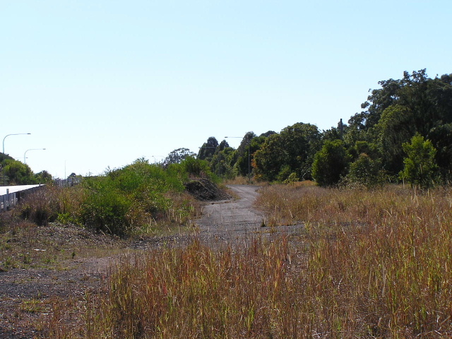 |
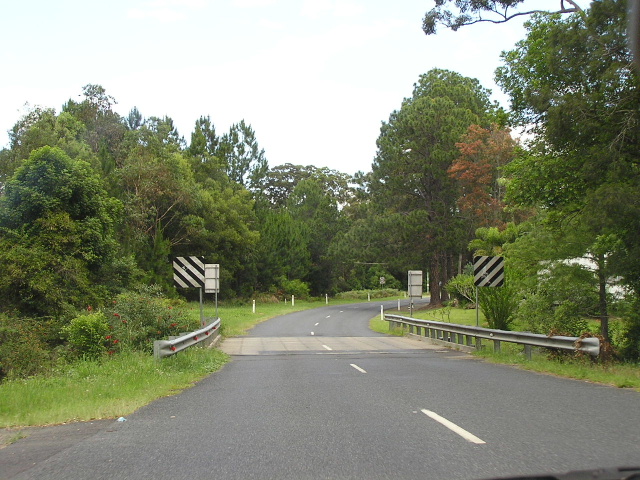
Section of the old pavement now overgrown just south of Lyons Rd. Aug 2004. |
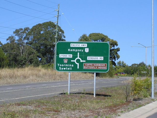 |
Southbound AD sign off the southbound offramp to Lyons Rd. You can see the old highway pavement, bypassed during construction of the Lyons Rd-Englands Rd upgrade behind the sign. I believe parts of it are now in use as a cycleway. Aug 2004. |
 |
Heading west along Lyons Rd approaching the Pacific Hwy. Aug 2004. |
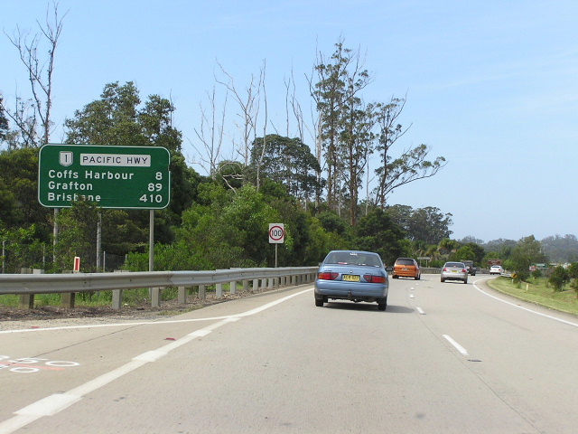 |
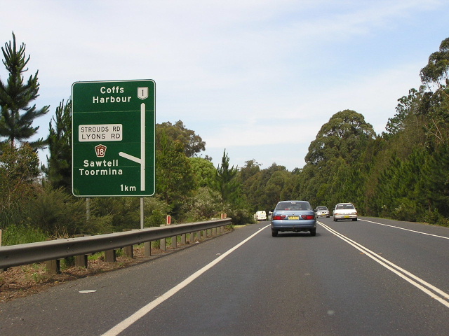
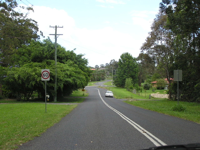
Distance sign heading north from Lyons Rd. Nov 2005. |
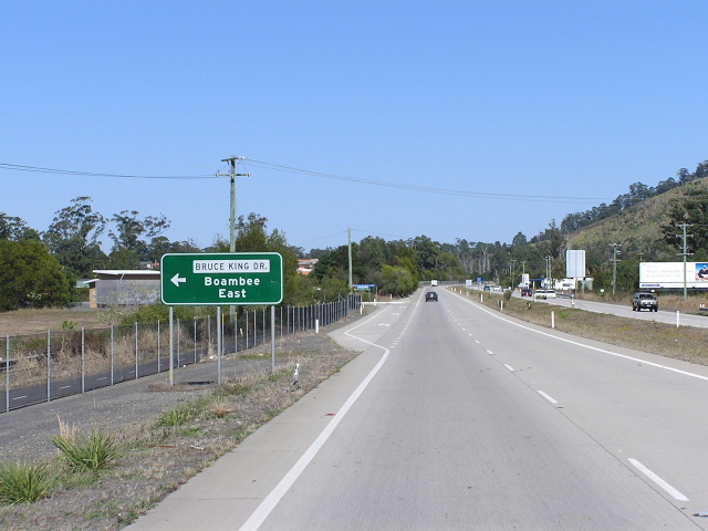 |
Looking south a Bruce King Dr. The highway severs the Boambee community with the only access between either side provided via the Lindsays Rd/Sawtell Rd interchange. Aug 2004. |
 |
Heading north approaching the Lindsays Rd/Sawtell Rd interchange. Nov 2005. |
 |
Heading south towards the Lindsays Rd/Sawtell Rd interchange. The signposting makes it very confusing for motorists as there is an off-ramp to a caravan park right after the sign for the interchange. Nov 2005. |
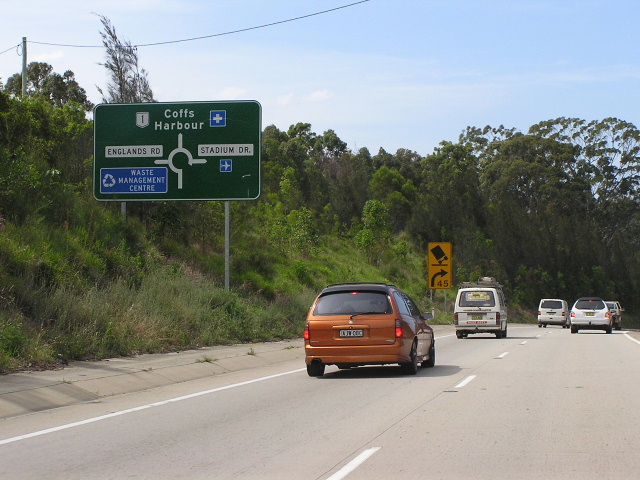 |
Heading north approaching Englands Rd. Nov 2005. |
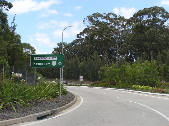 |
Looking south from the Englands Rd roundabout. Nov 2005. |
|
Old Pacific Hwy (Lindsays Rd) |
|
 |
Looking south along Lindsays Rd in Boambee. Nov 2005. |
 |
Looking south across Boambee Creek. Nov 2005. |
 |
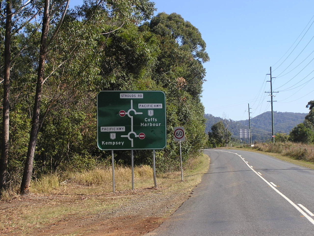
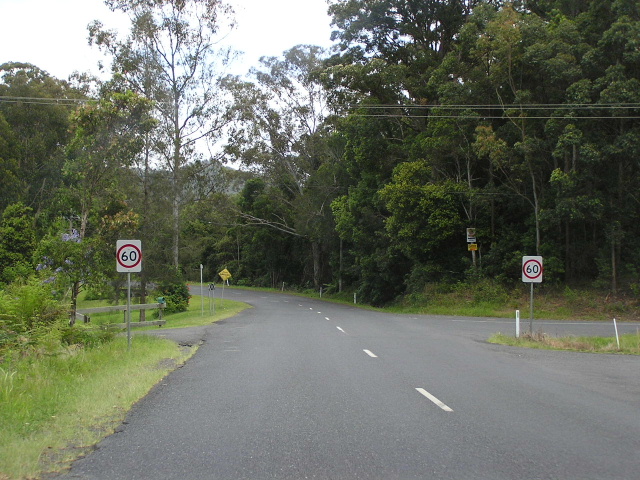
Looking south approaching the Pacific Hwy. Lindsays Rd curves to the left to connect with the highway while Strouds Rd continues straight, which is the original alignment. Nov 2005. |
1. Thanks to Jan Arnett of the former Coffs Harbour Historical Society for providing me with this date.