NSW STATE ROUTE 26
Decomissioned
Lifespan: 1974-2004 (30 years)
Length: 6km
Northern Terminus: Babbage Rd & Eastern Valley Way, Roseville
Southern Terminus: Falcon St & Miller St, North Sydney
Route taken: Miller St, Strathallen Ave, Sailors Bay Rd, Eastern Valley Way
Focal Points: City, North Sydney, Northbridge, Frenchs Forest
RTA Internal Classification: Main Road 599
Route Overview:
State Route 26 was a radial north-south state route in Sydney's north shore. Running north from Falcon St at North Sydney, most of its traffic is fed from the Warringah Fwy at Cammeray. The route is mostly four-lane undivided, with a 2-lane section across the Suspension Bridge and Strathallen Ave. SR26 has remained the same throughout its 30 year history, however the DMR's Schedule of Descriptions of State Routes gives this description: "From the junction of Main Road Nos. 164 and 599 at North Sydney, then via Main Road No. 599 to the junction with Main Road 326 [Babbage Rd] at Roseville and with a possible future extension." Nothing ever came of the 'possible future extension' but my guess is that SR26 may have been extended north to Terrey Hills via Warringah Rd & Forest Way, or to St Ives and then Hornsby via Secondary Road No. 2049 [Archbold Rd/Eastern Arterial Rd/Burns Rd corridor].
Spotlight on: Suspension Bridge
The original Suspension Bridge was constructed by private contractors and opened to traffic on 17th October 1892. It was a true suspension bridge, with the large gothic towers supporting the bridge deck via steel cables. During the 1930's an inspection of the bridge by the newly-formed Department of Main Roads found that due to severe corrosion in the steel cables, urgent reconstruction work was needed and the bridge was immediately closed to traffic. The bridge was reconstructed with a reinforced concrete arch, similar to the Gladesville Bridge, preserving the bridge deck and the two gothic towers at either end. In September 1939, the bridge was re-opened to traffic and the name 'Suspension Bridge' has stuck, although it is no longer one in the true sense of the title.
Notable events in the history of SR26:
October 1892 - Suspension Bridge opened to traffic
1937 - Suspension Bridge closed due to structural faults & reconstruction program begun
September 1939 - Suspension Bridge re-opened to traffic
June 1968 - Warringah Freeway interchange opened
1974 - SR26 proclaimed
May 2004 - SR26 decomissioned
Further reading (on-site):
Metroads 1 & 2: Warringah Freeway Interchange, Cammeray
Photos of State Route 26 |
|
 |
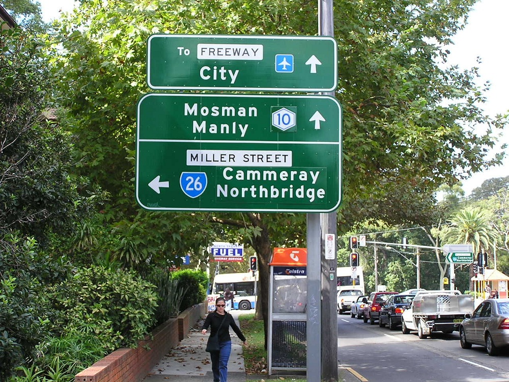
Falcon St westbound approaching the beginning of SR26 at North Sydney. April 2004. |
 |
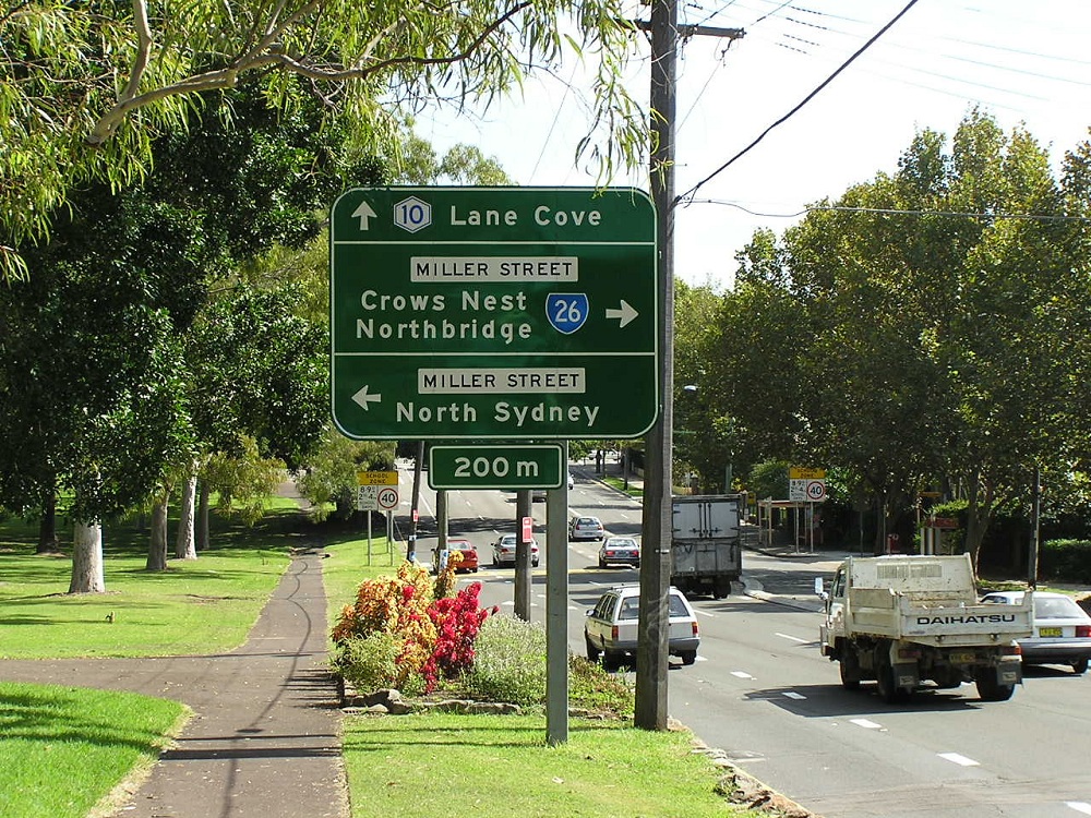
Falcon St eastbound approaching Miller St. April 2004. |
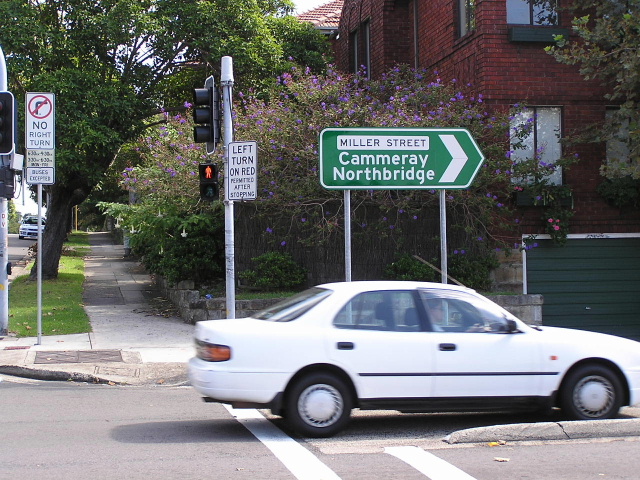 |
Miller St & Ernest St, Cammeray. Note the lack of SR26 shield, this sign has never had one for some reason. Photo taken April 2004. |
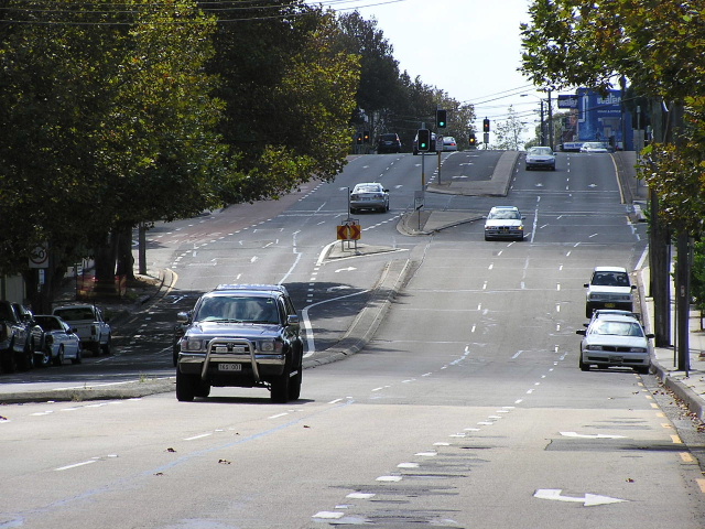 |
Miller St looking north from Ernest St, Cammeray. Photo taken April 2004. |
Suspension Bridge at Northbridge, showing the arch structure that was constructed in 1937-39. Scanned from 'The Roadmakers'. |
|
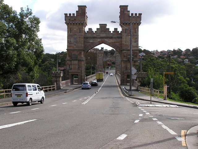 |
Northbound view across Suspension Bridge. Photo taken April 2004. |
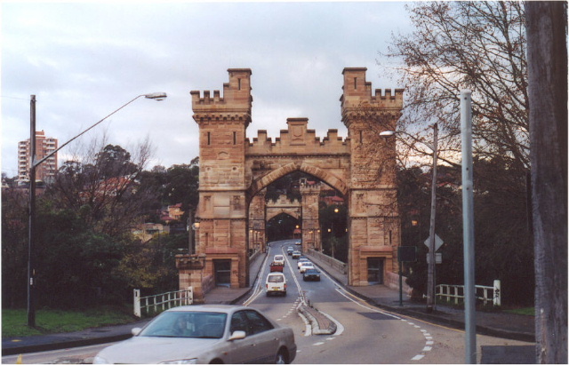 |
Southbound view in the late afternoon. Photo taken June 2003. |
 |
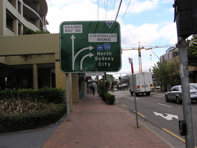
Sailors Bay Rd & Strathallen Ave, Northbridge. Photo taken April 2004. |
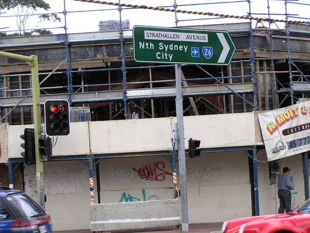 |
Sailors Bay Rd & Strathallen Ave, Northbridge. Photo taken April 2004. |
 |
Sailors Bay Rd outside Northbridge shops. Photo taken April 2004. |
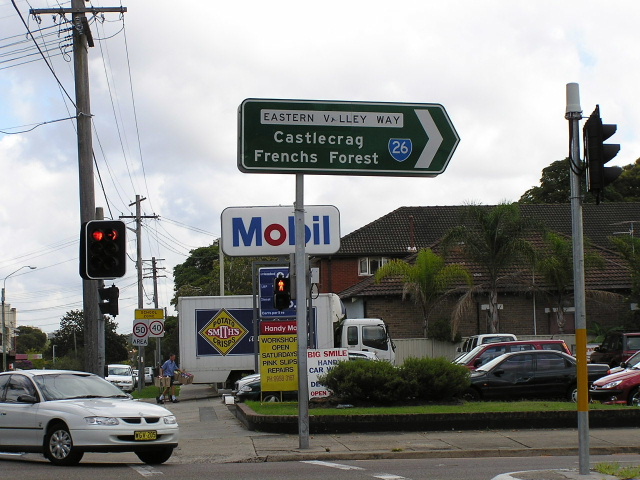 |
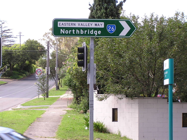
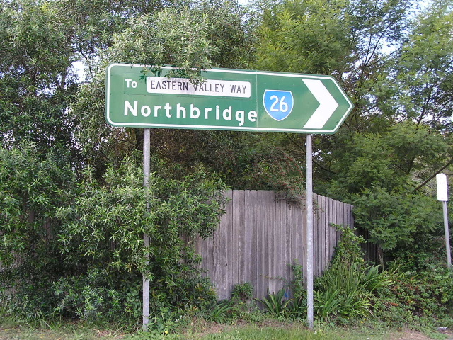
Sailors Bay Rd & Eastern Valley Way, Northbridge. Photo taken April 2004. |
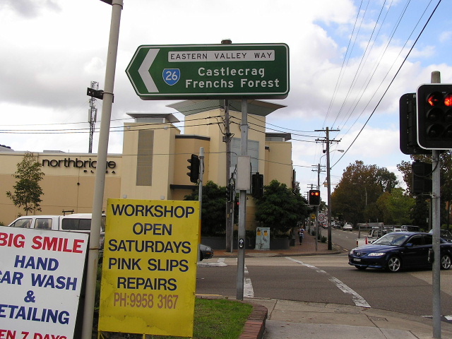 |
Sailors Bay Rd & Eastern Valley Way. Photo taken April 2004. |
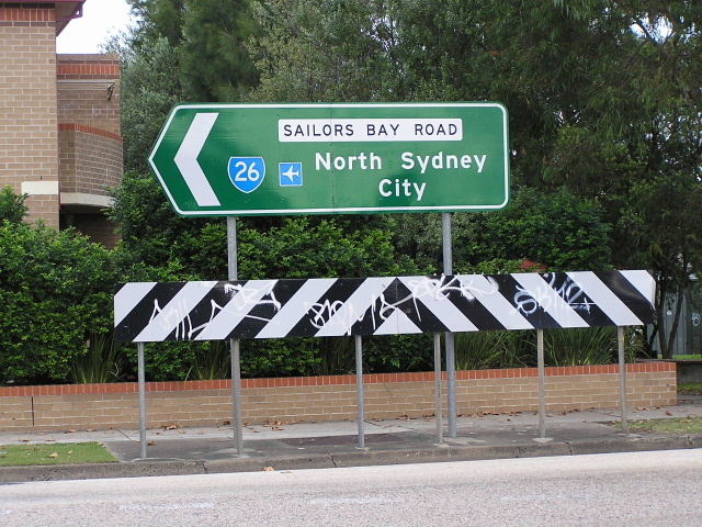 |
Sailors Bay Rd & Eastern Valley Way. Photo taken April 2004. |
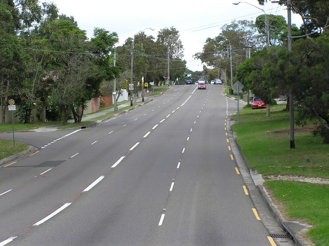 |
Looking south into Northbridge. SR26 crosses rather hilly terrain and ascends and descends many ridges and valleys, making it unsuitable as a potential freeway route. Photo taken April 2004. |
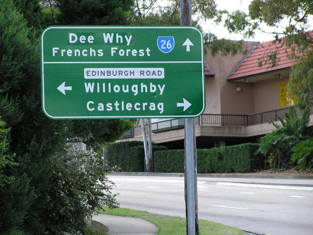 |
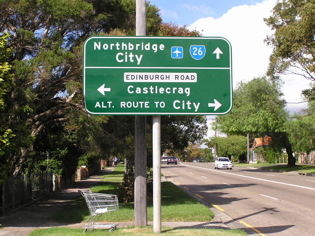
Eastern Valley Way northbound approaching Edinburgh Rd at the Castlecrag/Willoughby Rd border. Note the 'Dee Why' coverplate over what once said 'Roseville'. Roseville has since been deleted as a focal point from SR26 and most other routes in the area. Photo taken April 2004. |
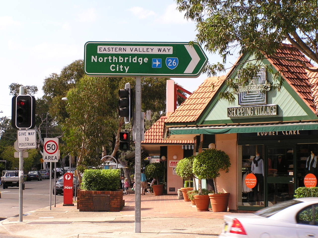 |
Eastern Valley Way & Edinburgh Rd. Photo taken April 2004. |
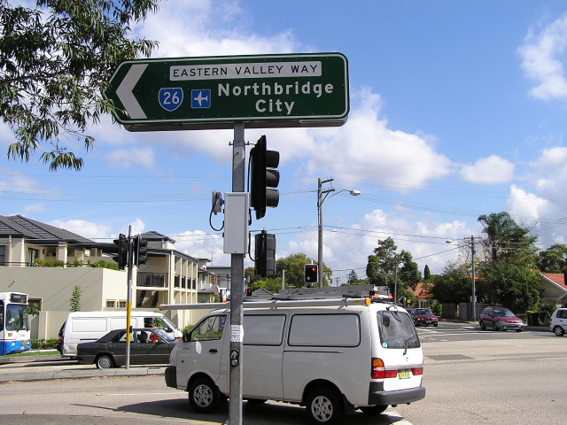 |
Eastern Valley Way & Edinburgh Rd. Photo taken April 2004. |
 |
Eastern Valley Way & Edinburgh Rd. Photo taken April 2004. |
 |
Eastern Valley Way & Edinburgh Rd. Photo taken April 2004. |
 |
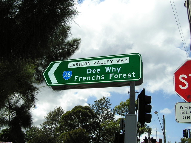
Eastern Valley Way southbound approaching Edinburgh Rd. Photo taken April 2004. |
 |
Eastern Valley Way southbound from Castle Cove Drive. Photo taken April 2004. |
 |
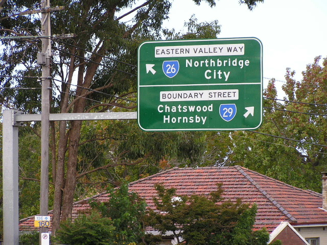
Eastern Valley Way & Boundary St, Roseville. Photo taken April 2004. |
 |
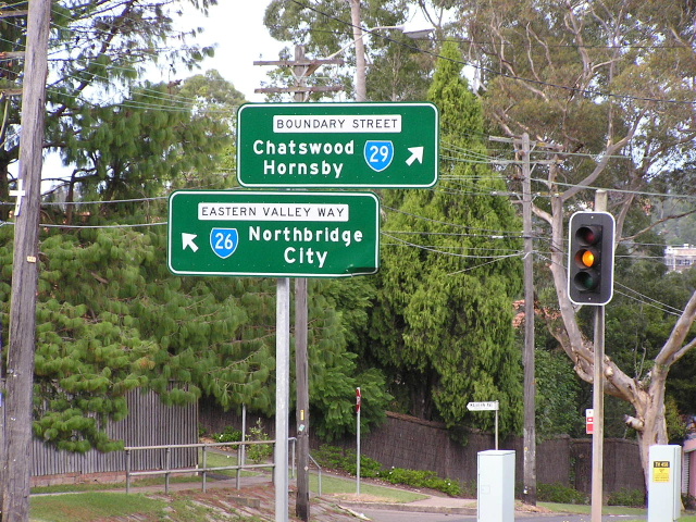
Boundary St westbound approaching SR26 turnoff. Photo taken April 2004. |
 |
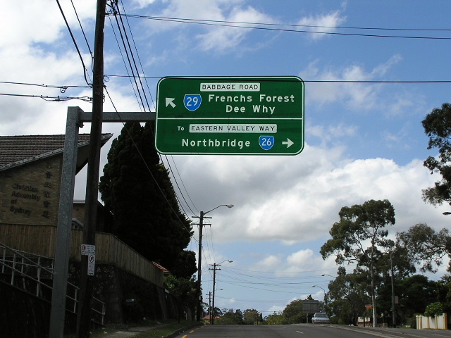
Boundary St ID sign where SR29 becomes Babbage Rd, Roseville. Note that 'To Eastern Valley Way' covers 'Boundary St'. Photo taken April 2004. |
 |
Babbage Rd southbound approaching the start of SR26-Eastern Valley Way. Photo taken April 2004. |
 |
Babbage Rd southbound again. Photo taken April 2004. |