Bridgenorth to Glengarry |
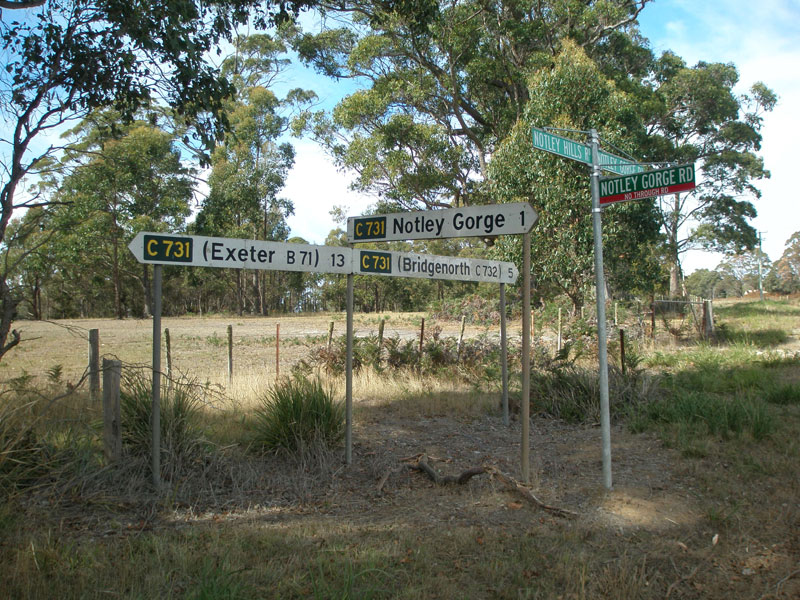
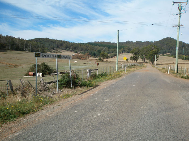
C731 goes all three ways! Fingerboard signs at the intersection of Notley Gorge Rd & Notley Hills Rd, 5km from Bridgenorth. Source: Peter Renshaw, May 2007.
Introduced: 1980
Length: 11km
Northern Terminus: Frankford Main Rd (B71) & Loop Rd WEST (C731), Glengarry
Southern Terminus: Bridgenorth Rd (C732) & Notley Gorge Rd (C731), 1km west of Bridgenorth
Route taken: From Bridgenorth Rd, via Notley Gorge Rd, Notley Hills Rd and the western leg of Loop Rd to Frankford Main Rd, with a spur along Notley Gorge Rd to Notley Fern Gorge
Focal Points: Bridgenorth, Notley Gorge (some signs changed to show 'Notley Gorge State Park' in 2008), Exeter
Responsibility: Local Government
Route C731 is a rural route in the West Tamar hinterland, mainly serving as access to the scenic tourist destination of Notley Gorge. Reflecting this role, C731 is sealed south of Notley Gorge and on Loop Road, but the Notley Hills Road section is well-maintained gravel.
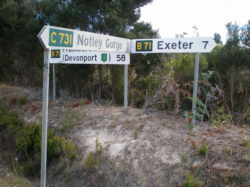
The northern section of the route - between Notley Hills Rd and Frankford Main Rd - is rather interesting. An incorrectly placed fingerboard sign at the Loop Rd/Notley Hills Rd intersection points C731 down the eastern leg of Loop Road, however C731 actually uses the western leg of Loop Road. This, to me, seems rather silly as traffic being pointed towards Exeter actually takes an unnecessary additional 2km trip via the western leg.
|
Photos of route C731 |
|
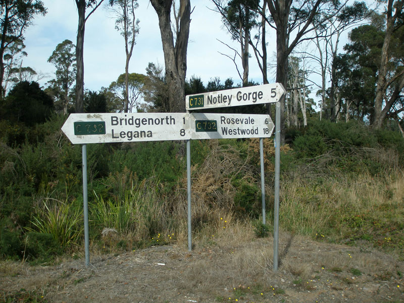 |
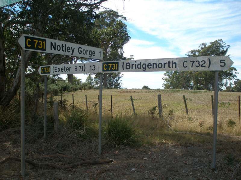
Fingerboard signs at the junction of Bridgenorth Rd (C732) & Notley Gorge Rd (C731), 1km west of Bridgenorth. Note the damage that two decades of exposure to the elements have had on the painted fingerboard signs. Source: Peter Renshaw, April 2007. |
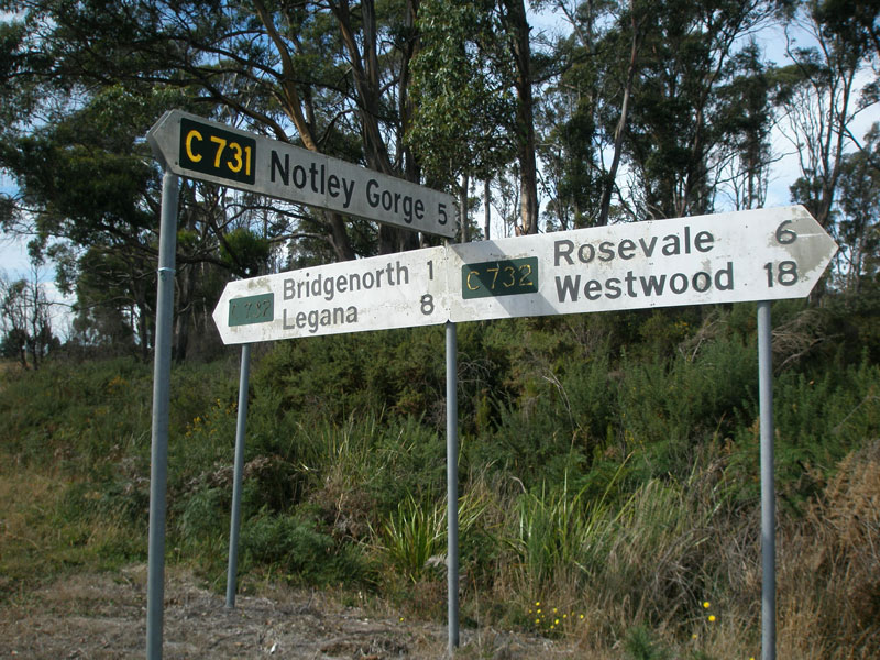 |
Fingerboard signs at the junction of Bridgenorth Rd (C732) & Notley Gorge Rd (C731), 1km west of Bridgenorth. Source: Peter Renshaw, April 2007. |
 |
Fingerboard sign facing northbound C731 traffic as Mitchelsons Rd branches from Notley Gorge Rd (C731), 1km north of Bridgenorth Rd. Source: Peter Renshaw, April 2007. |
 |
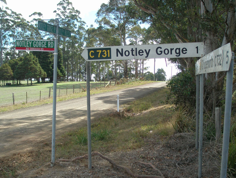
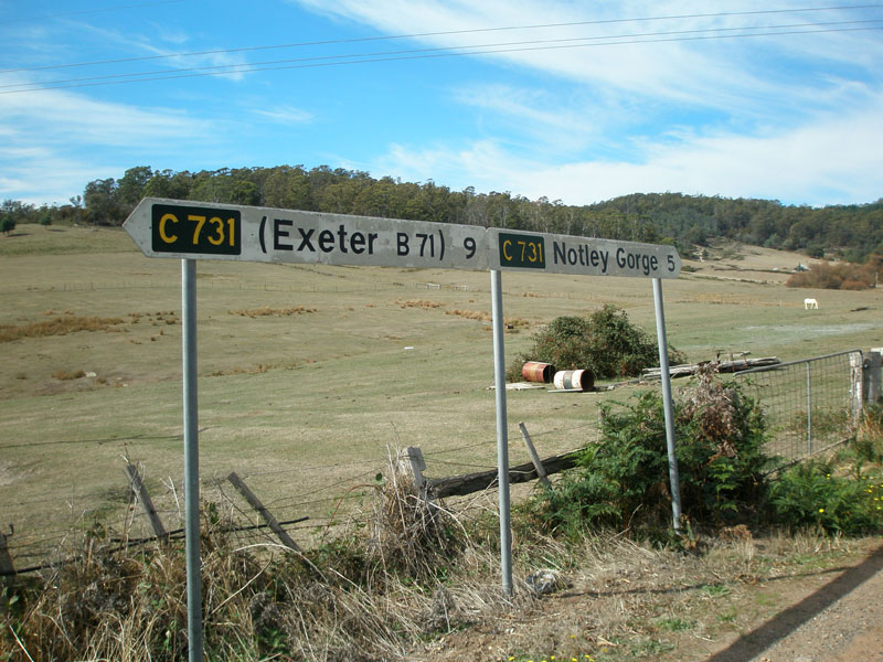
Fingerboard signs at the intersection of Notley Gorge Rd (C731) & Notley Hills Rd (C731), 4km north of Bridgenorth Rd. C731 has a spur from this intersection, continuing north-west along Notley Gorge Rd to the Notley Gorge. The main arm of C731 continues north through Notley Hills towards Glengarry. Source: Peter Renshaw, April 2007. |
|
C731 goes all three ways! Fingerboard signs at the intersection of Notley Gorge Rd & Notley Hills Rd, 4km from Bridgenorth. Source: Peter Renshaw, April 2007. |
 |
Notley Gorge Rd (C731) looking north-west towards Notley Gorge, from the intersection with Notley Hills Rd. Note that the sealed surface continues along the spur of C731 rather than the main route. Source: Peter Renshaw, April 2007. |
 |
Looking north at the intersection of Notley Gorge Rd & Notley Hills Rd, showing the unsealed surface on the main arm of C731. Source: Peter Renshaw, April 2007. |
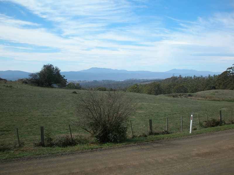 |
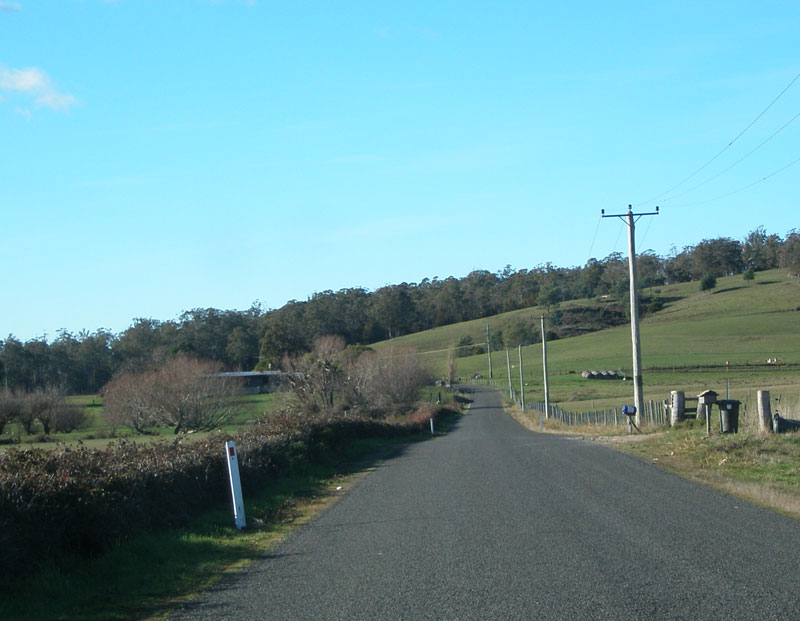
Looking north across the countryside from C731, just north of Notley Gorge Road. Source: Peter Renshaw, April 2007. |
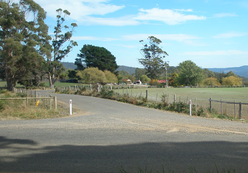
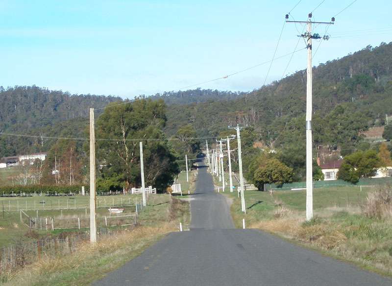
Notley Hills Rd (C731) crosses a group of small hills (Notley Hills...unsurprisingly) before descending into the valley to meet Frankford Main Rd (B71). Source: Peter Renshaw, April 2007. |
|
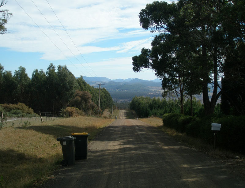 |
Garbage collection day in Notley Hills - looking north along Notley Hills Rd (C731). Source: Peter Renshaw, April 2007. |
 |
Notley Hills Rd (C731) looking south, back towards the Notley Hills through which the route just passed. Source: Peter Renshaw, April 2007. |
 |
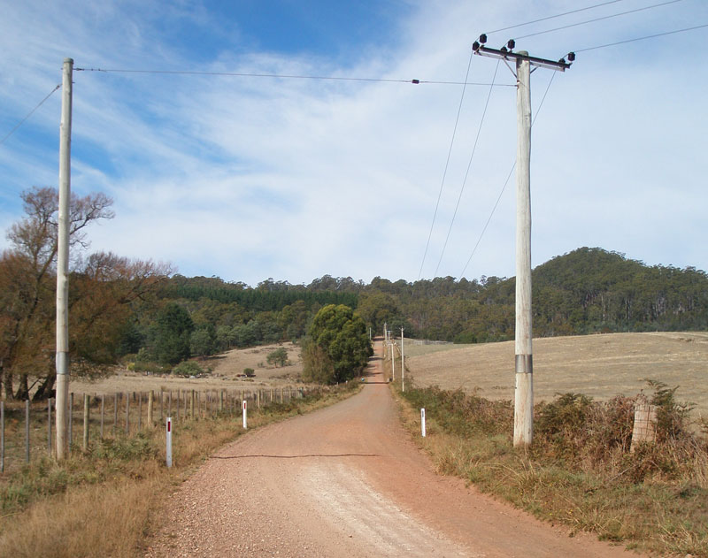
Notley Hills Rd (C731) looking north with Bald Tier in the distance. Source: Peter Renshaw, April 2007. |
 |
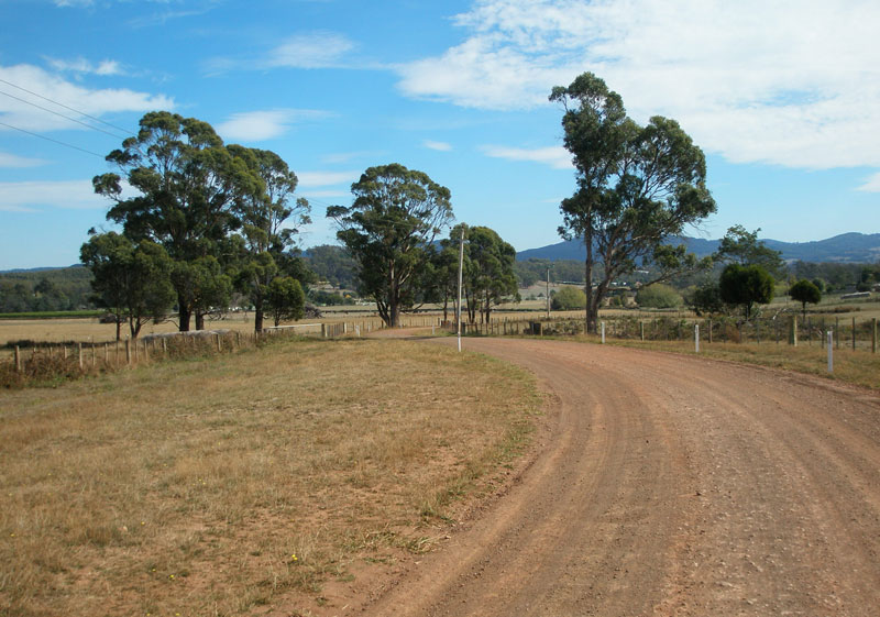
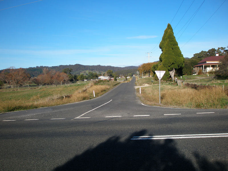
Notley Hills Rd (C731) looking south from the junction with Loop Road, near Glengarry. Note that the sealed surface has returned. Source: Peter Renshaw, April 2007. |
 |
Fingerboard signs at the junction of Loop Rd (C731) & Notley Hills Rd (C731). Note that the left-pointing fingerboard is incorrectly placed (and appears to have been since the former Dept. of Main Roads first introduced this route marking system) and should instead be pointing traffic down the western leg of Loop Rd. Source: Peter Renshaw, April 2007. |
 |
Loop Road (C731) looking east towards the intersection with Notley Hills Rd (C731). The incorrect fingerboard can be seen in the middle distance - the left-pointing sign should actually be pointing traffic towards the camera. Source: Peter Renshaw, June 2006. |
 |
Loop Rd (C731) looking east from Blackberry's Road, Glengarry. Source: Peter Renshaw, June 2006. |
 |
Non-standard Council signage facing southbound C731 traffic at the intersection of Loop Rd (C731) & Blackberrys Rd, Glengarry. Source: Peter Renshaw, June 2006. |
 |
Loop Rd (C731) looking south, Glengarry. The intersection with Blackberry's Rd, where Loop Rd turns east, is in the distance. Source: Peter Renshaw, June 2006. |
 |
Loop Rd (C731) looking south at the intersection with Frankford Main Rd (B71), Glengarry. Source: Peter Renshaw, June 2006. |
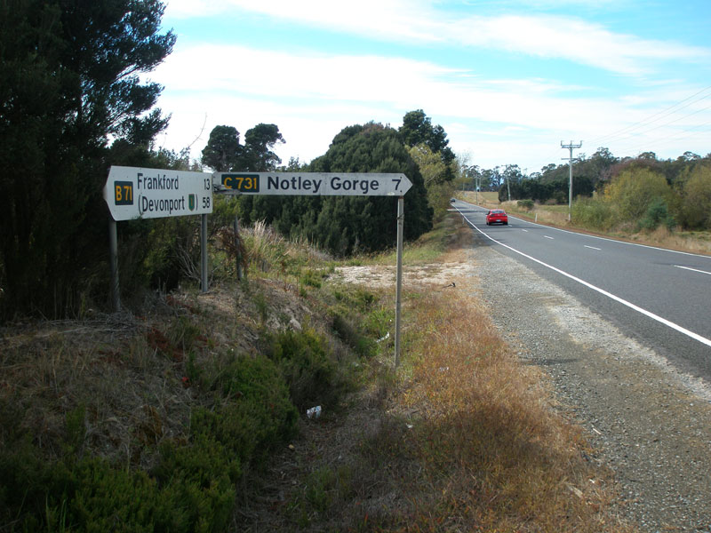 |
Fingerboard sign facing eastbound traffic on Frankford Main Rd (B71) & Loop Rd WEST (C731), verifying that C731 should indeed be signed down the western leg of of Loop Rd. Source: Peter Renshaw, April 2007. |
 |
Fingerboard sign facing eastbound traffic on Frankford Main Rd (B71) & Loop Rd WEST (C731), verifying that C731 should indeed be signed down the western leg of of Loop Rd. Source: Peter Renshaw, April 2007. |
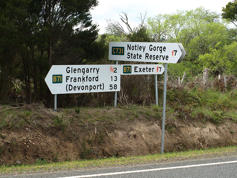 |
Renewed fingerboard sign assembly at the intersection of Frankford Main Rd (B71) & Loop Rd WEST (C731). Source: Peter Renshaw, October 2008. |
 |
Frankford Main Rd (B71) westbound approaching the junction with Loop Rd WEST (C731). Source: Peter Renshaw, October 2008. |
  |
Top: Frankford Main Rd (B71) eastbound approaching the junction with Loop Rd WEST (C731). Bottom: Renewed eastbound AD sign on Frankford Main Rd (B71) eastbound, approaching the junction with Loop Rd WEST (C731). |
Last updated 21 February 2009. © Ozroads 2004-2009. |