State Route 65 City Beach - Subiaco - East Perth |

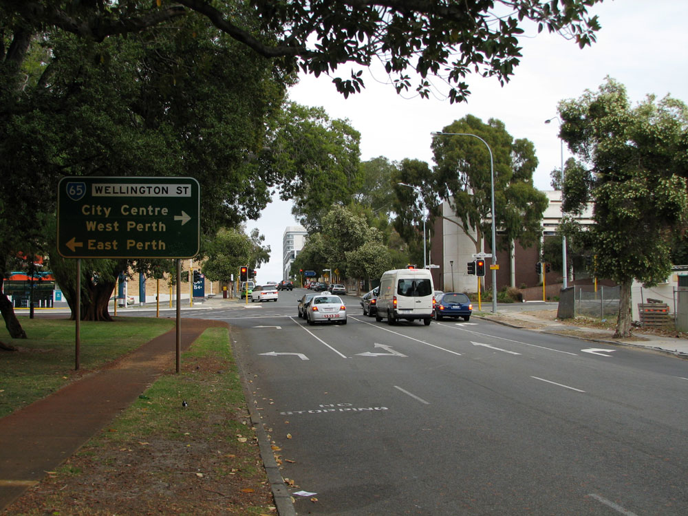
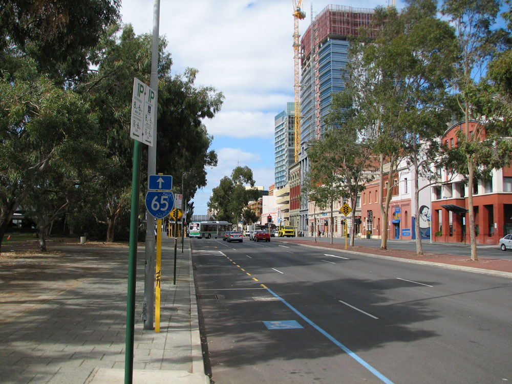
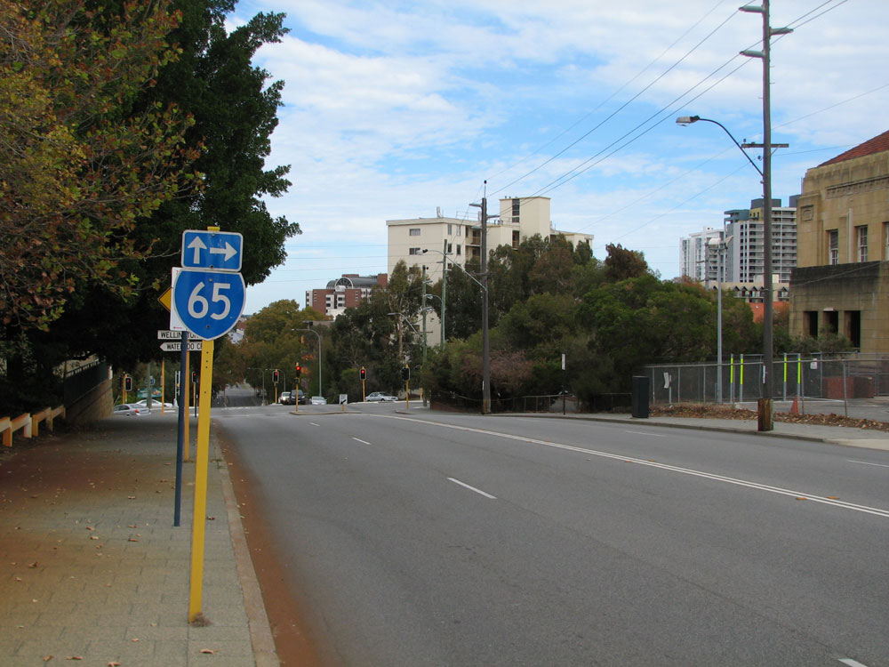
SR65 trailblazer eastbound on Wellington Street approaching King Street and the Wellington Street Bus Station, Perth. Photo taken: May 2010.
Introduced: 1986
Length: 13km
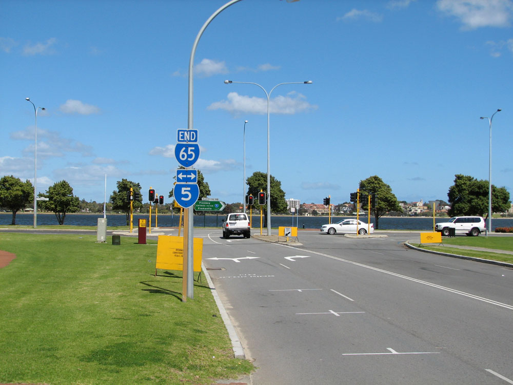
Eastern Terminus: Riverside Drive & Plain Street, East Perth
Western Terminus: West Coast Highway & Rochdale Road, City Beach
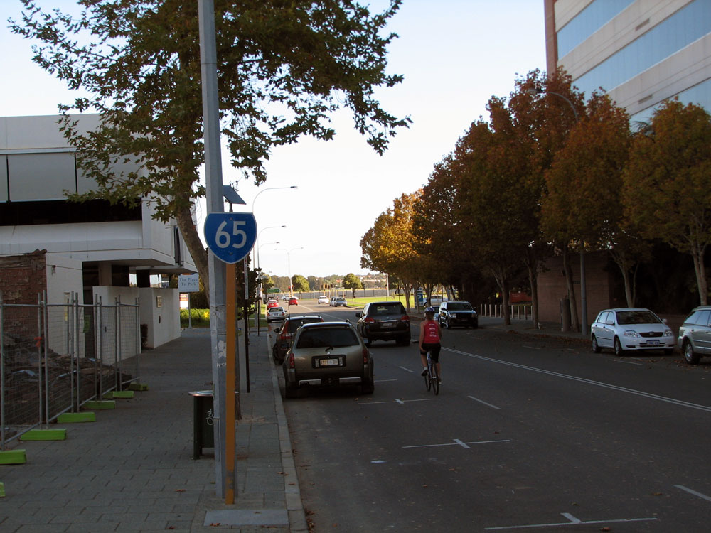
Route taken: Plain Street, Wellington Street, Roberts Road (eastbound), Thomas Street/Hay Street (westbound), Hay Street, Underwood Avenue, Stephenson Avenue, Rochdale Road
Focal Points: City Beach, Subiaco, West Perth, Perth, East Perth, Causeway
Main Roads Act 1930 classification: unclassified
Notable Events:
April 1986 - State Route 65 introduced1
28 October 1990 - Roberts Road/Hay Street one-way pair through Subiaco implemented2
Description:
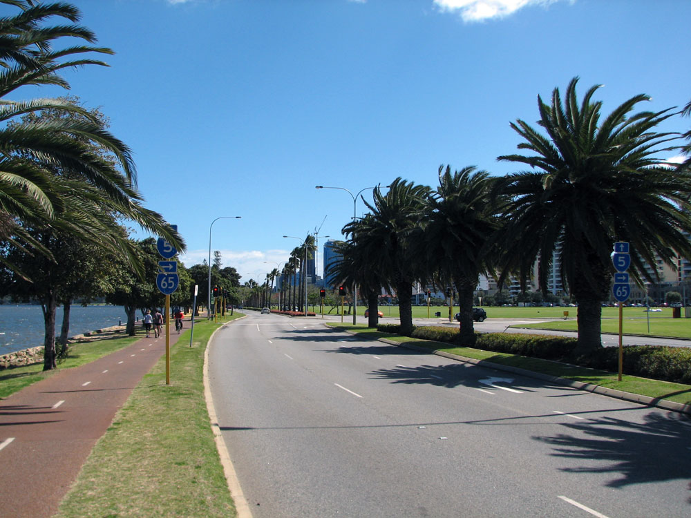
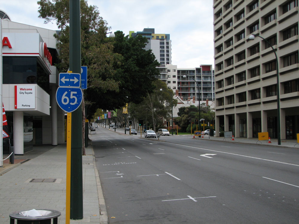
State Route 65 is an east-west linking Perth CBD with Subiaco and the coast at City Beach. West of the Mitchell Freeway, the route serves mainly as a radial route for the western suburbs to Subiaco and Perth CBD. East of the freeway, the route runs through the northern part of the CBD via Wellington Street before providing a connection to Riverside Drive near the Causeway, East Perth.
History:
Up until the early 1960s, the land west of the railway line at Subiaco and Daglish was largely undeveloped. At this time, Hay Street ended near Tighe Street, Jolimont. A big change came in 1962 with Perth hosting the Empire (now Commonwealth) Games. Dedicated sporting facilities for the Games were constructed on a greenfield site at Perry Lakes. In order to provide access to the new facilities, Hay Street was extended west as a four-lane dual carriageway from Subiaco to Perry Lakes, and a two-lane north-south connection constructed to meet Rochdale Road (then part of West Coast Highway) at Mt Claremont.
The only significant change to the route since its introduction in 1986 was the implementation of a one-way street system through Subiaco. Originally, State Route 65 traffic in both directions used Roberts Road through Subiaco. With the implementation of the one-way system in 1990, westbound traffic was moved onto Thomas Street and Hay Street.
A relatively minor relocation of eastbound State Route 65 traffic occurred in the late 1990s when, as part of the redevelopment of Subiaco, StTate Route 65 was relocated onto an extended Roberts Road. The sinking of the railway line between Hay Street and the new railway station allowed the Roberts Road extension westwards to meet Hay Street and the reundant portion of Railway Road between Hay Street and Rokeby Road was partially closed.
Signage:
Signage along the route is poor - years of neglect have taken their toll on the route with many trailblazers missing. The route is navigable by signage in the eastbound direction, however there are two major deficiencies in the westbound direction. Firstly, at the junction of Plain & Wellington Streets, East Perth, there are no signs or trailblazers indicating that the route turns left. And secondly, the right turn from Thomas Street into Hay Street is not signposted for State Route 65 at all.
References:
1. Main Roads Department, Annual Report 1985/86, p. 16
2. Main Roads WA, Major Road Network Changes - Metropolitan, updated 21 April 2011
|
Photos of State Route 65 - East Perth to West Perth |
|
 |
Trailblazer sign assemblies westbound on Riverside Drive approaching the junction with Plain Street, East Perth. There is no mention of SR65 for eastbound traffic at this junction. |
 |
Trailblazer sign assembly southbound on Plain Street approaching the junction with Riverside Drive, East Perth. This is the eastern terminus of SR65. |
 |
Reassurance trailblazer southbound on Plain Street after the junction with Adelaide Terrace, East Perth. The end of the route can be seen at the traffic signals in the distance. Photo taken: May 2010. |
 |
SR65 trailblazer westbound on Adelaide Terrace, approaching the junction with Plain Street, East Perth. Most traffic uses either Hay Street or Adelaide Terrace to reach SR65 from the Causeway, rather than following the signposted route. |
 |
SR65 trailblazer southbound on Plain Street approaching Adelaide Terrace, East Perth. Most traffic heading for the Causeway turns left either here or at Hay Street, rather than following SR65 to its terminus at Riverside Drive. Photo taken: May 2011. |
 |
SR65 trailblazer northbound on Plain Street approaching the junction with Hay Street, East Perth. The Don Aitken Centre - Main Roads WA's head offices - can just be seen above the trees. Photo taken: May 2011. |
 |
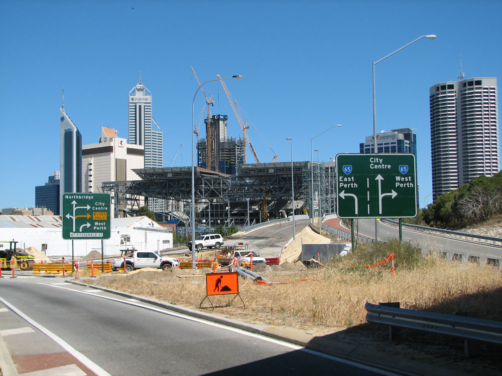
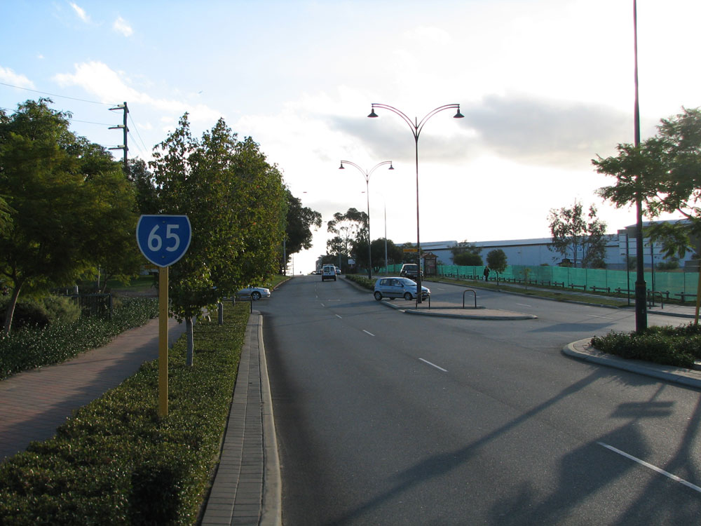
Plain Street looking north towards the junction with Wellington Street at the top of the hill. Plain Street continues north as SR66 and SR65 turns left at this junction, however there are no signs to tell motorists this! |
 |
SR65 trailblazer facing westbound traffic on Waterloo Crescent approaching the junction with Wellington & Plain Streets, East Perth. Photo taken: May 2011. |
Trailblazer sign southbound on Plain Street approaching the junction with Wellington Street & Waterloo Crescent, East Perth. Note the absence of an 'END SR66' sign - this is the southern terminus of State Route 66. Photo taken: May 2011. |
|
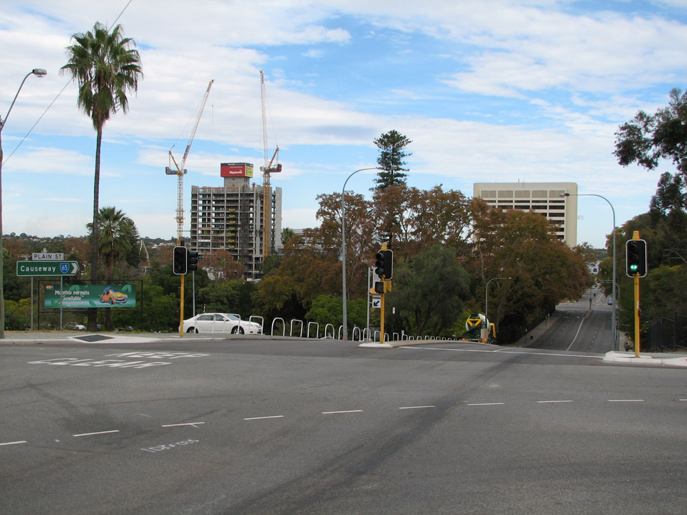 |
Looking south at the junction of Plain Street, Wellington Street & Waterloo Crescent, East Perth. Note the ID sign with the focal point of 'Causeway'. Photo taken: May 2011. |
 |
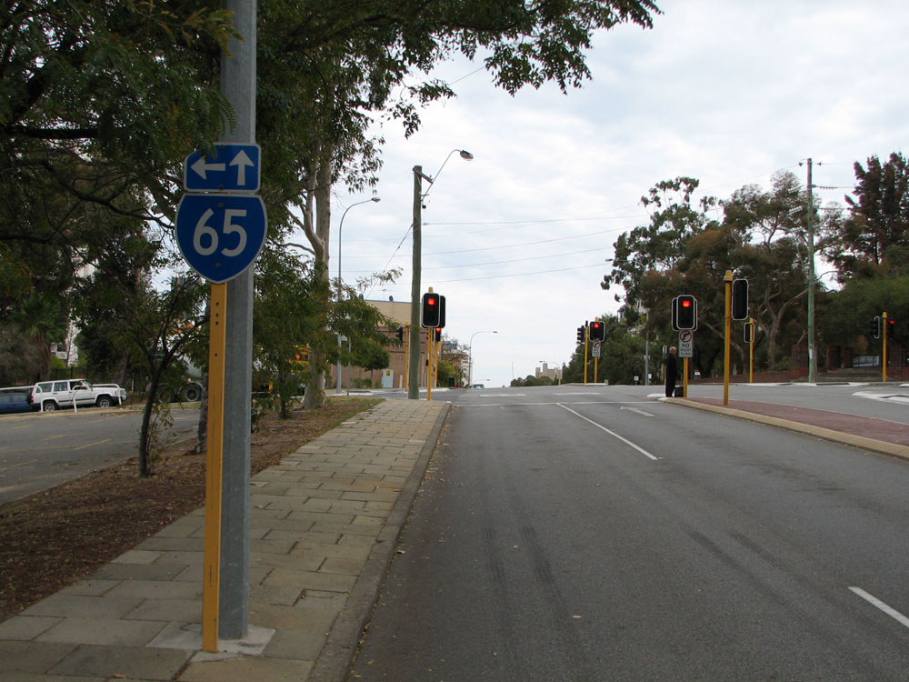
SR65 trailblazer eastbound on Wellington Street approaching the junction with Plain Street at East Perth. Note the absence of a SR66 route marker pointing left. Photo taken: May 2011. |
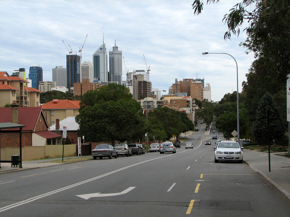 |
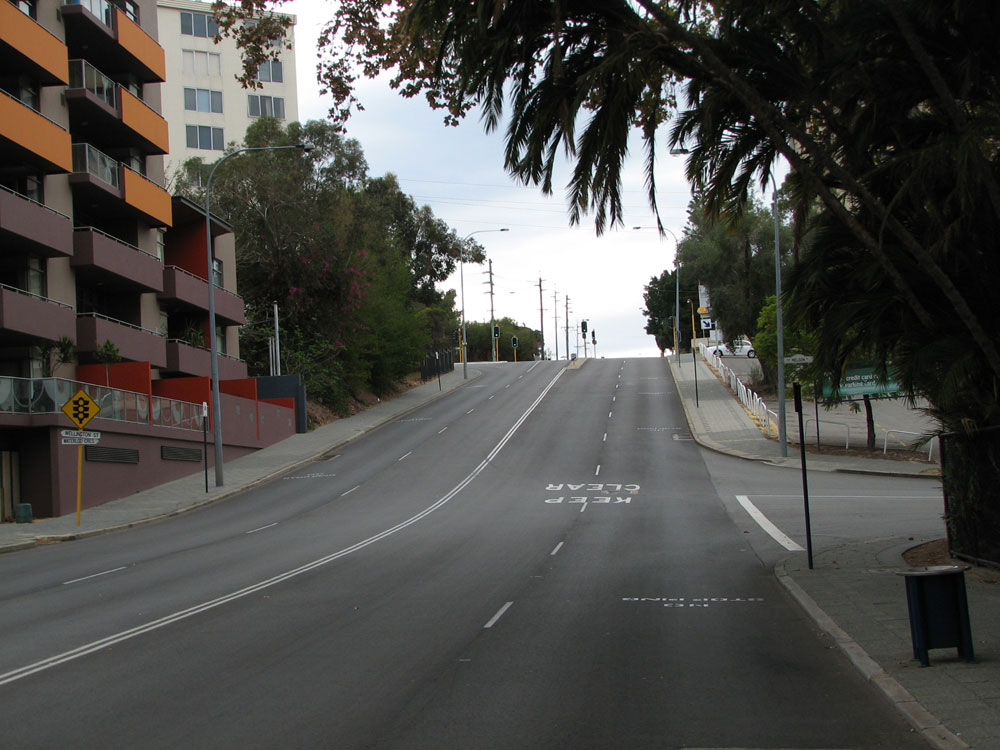
Wellington Street looking west from the hill near Plain Street. The traffic signals at the bottom of the hill are at Bennett Street. Photo taken: May 2011. |
 |
SR65 trailblazer facing southbound traffic on Bennett Street approaching the junction with Wellington Street, East Perth. Photo taken: May 2011. |
 |
AD sign southbound on Hill Street approaching the junction with Wellington Street, East Perth. Hill Street forms part of a short one-way street system at the southern end of State Route 51. Photo taken: May 2011. |
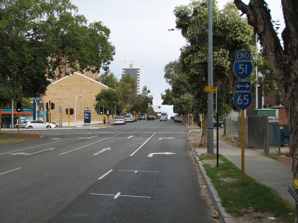 |
Trailblazer sign assembly southbound on Hill Street approaching the junction with Wellington Street, East Perth. This is the southern terminus of State Route 51. Photo taken: May 2011. |
 |
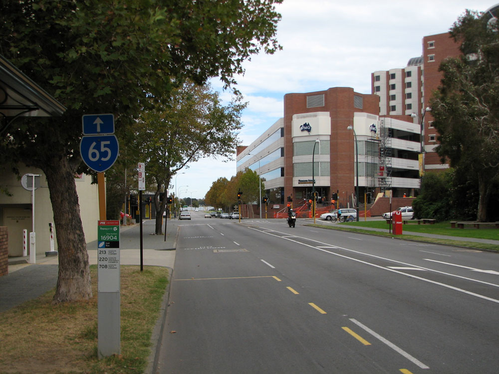
SR65 trailblazer facing eastbound traffic on Wellington Street, east of Lord Street, Perth. Photo taken: May 2010. |
 |
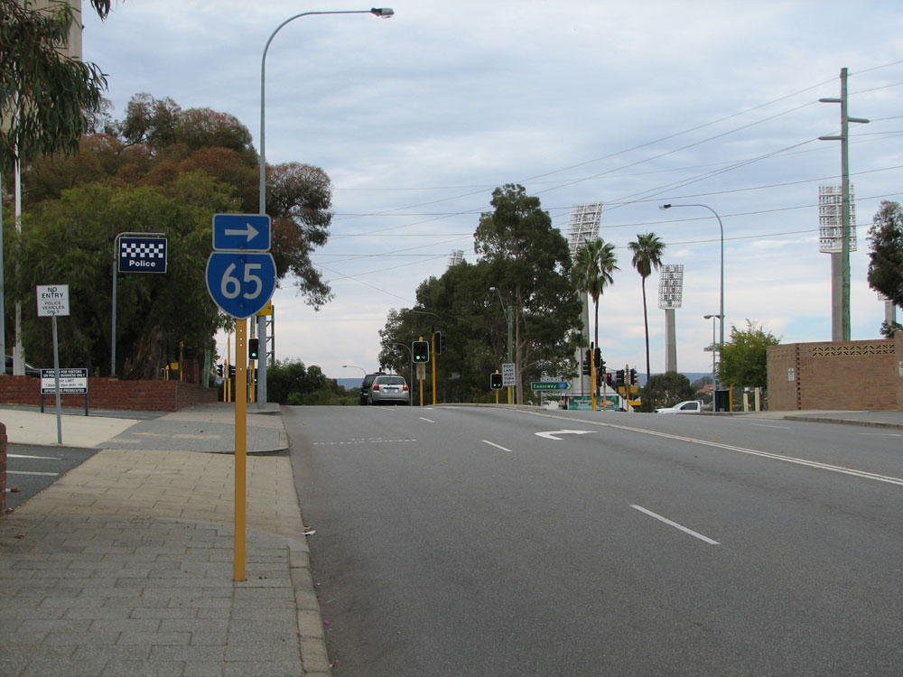
Trailblazer sign assembly westbound on Wellington Street approaching the junction with Lord Street, Perth. Lord Street carries northbound traffic at the southern end of State Route 51 - southbound traffic uses Wittenoom and Hill Streets. Photo taken: May 2010. |
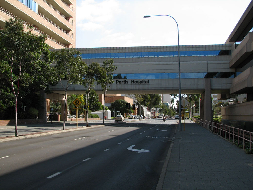 |
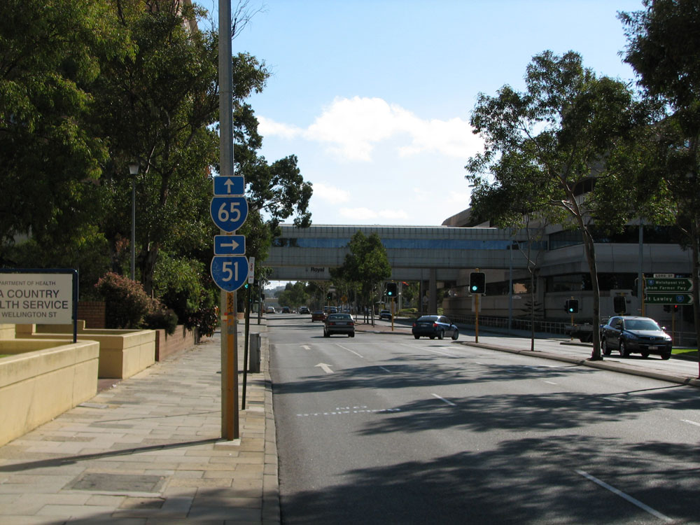
Wellington Street looking west from Lord Street outside Royal Perth Hospital. The signalised pedestrian crossing at this location was the first in Perth. Photo taken: May 2010. |
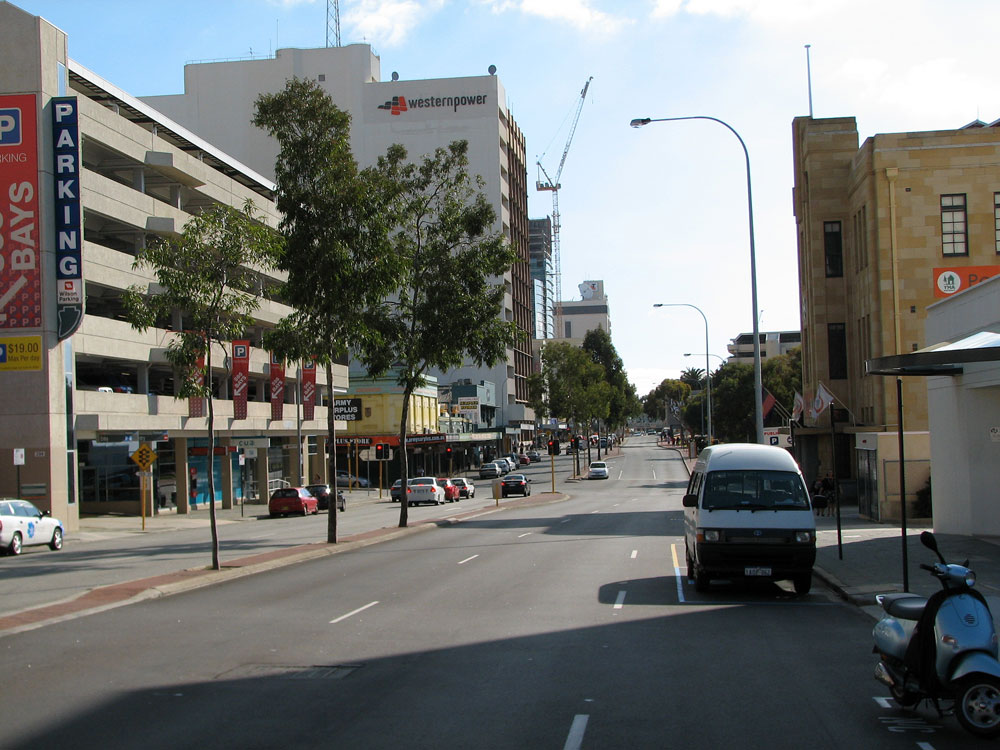 |
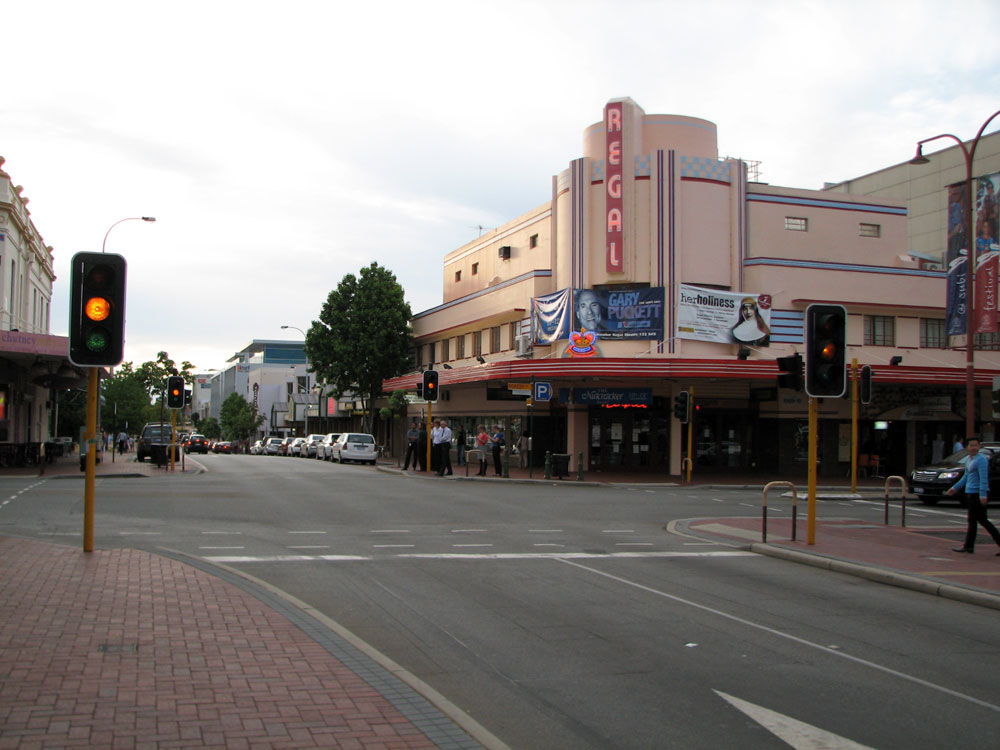
Wellington Street looking east towards Pier Street, Perth. Photo taken: May 2010. |
 |
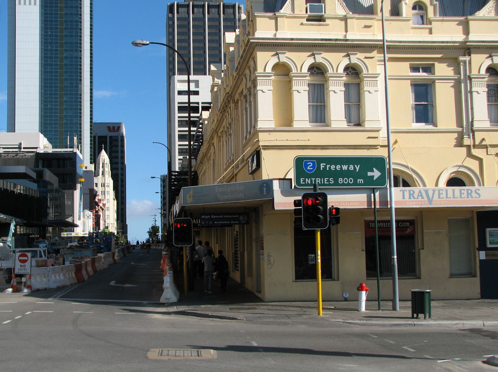
SR65 trailblazer westbound on Wellington Street at the junction with Barrack Street, Perth. Note the missing SR53 route marker which should show the right turn onto Barrack Street. This is the only route marker at this whole junction! Photo taken: May 2010. |
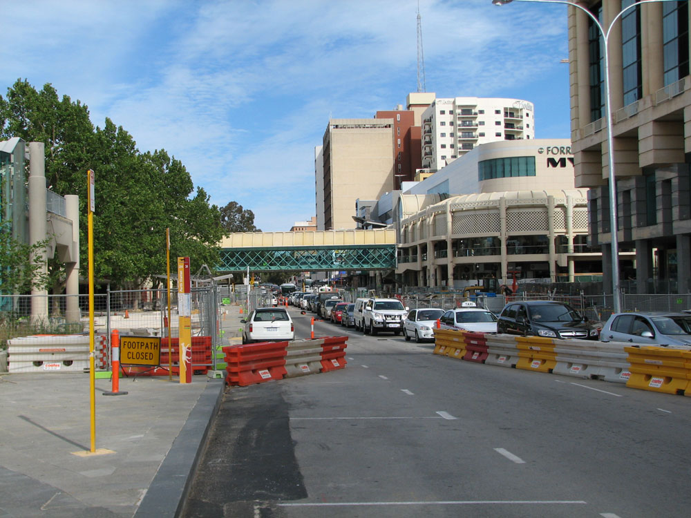
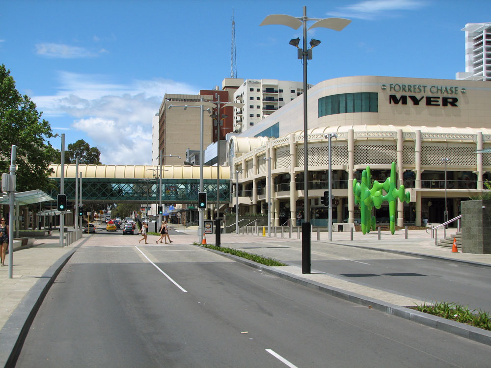
Two views of Wellington Street, looking east outside the entrance to Perth Train Station and the Forrest Place pedestrian mall. The first view shows construction underway on the streetscape upgrade and the second view shows the final result. Top photo: November 2010. Bottom photo: October 2011. |
|
Old and new trailblazer sign assemblies southbound on William Street approaching the junction with Wellington Street. This sign assembly disappeared in 2011 - typical of many trailblazers on the State Route network. I reported it to the City of Perth and Main Roads, who responded by erecting a new assembly nearly 12 months later, in June 2012, with the wrong arrow tabs! Top photo: July 2010. Bottom photo: June 2012. |
|
 |
AD sign acting as an ID sign at the junction of Wellington & William Streets, Perth. Note no mention of SR65. Photo taken: July 2010. |
 |
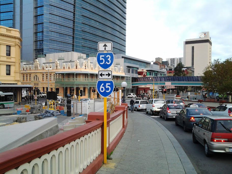
SR65 trailblazer sign facing eastbound traffic on Wellington Street approaching the junction with King Street, Perth. Photo taken: May 2010. |
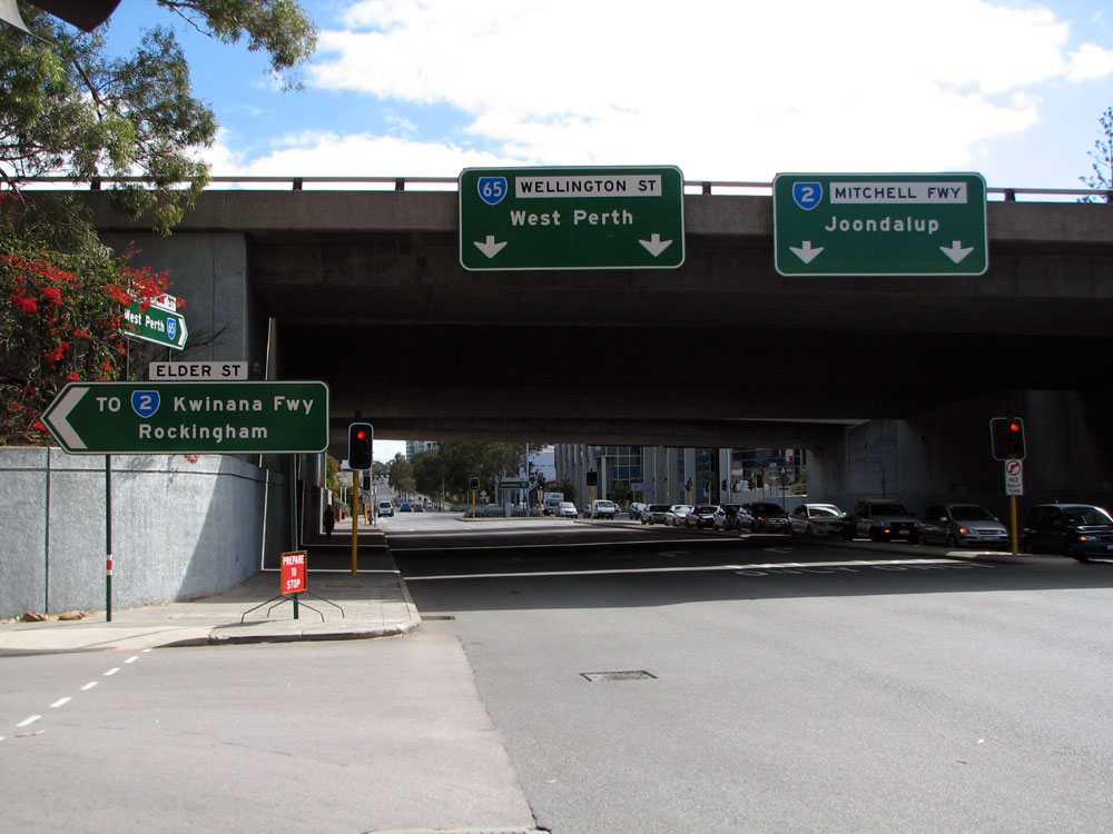 |
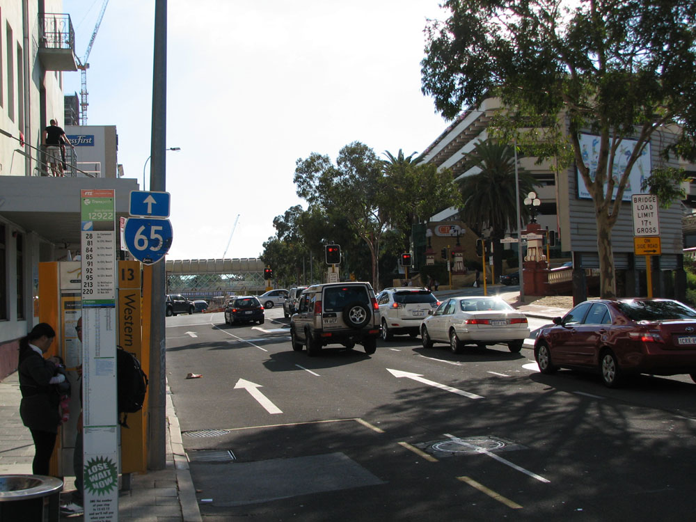
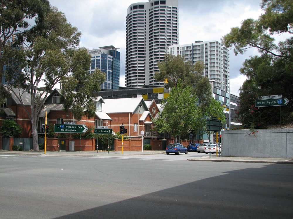
Overhead signs facing westbound traffic on Wellington Street at the junction with the north-facing Mitchell Freeway ramps, Elder Street and George Street, West Perth. Photo taken: May 2010. |
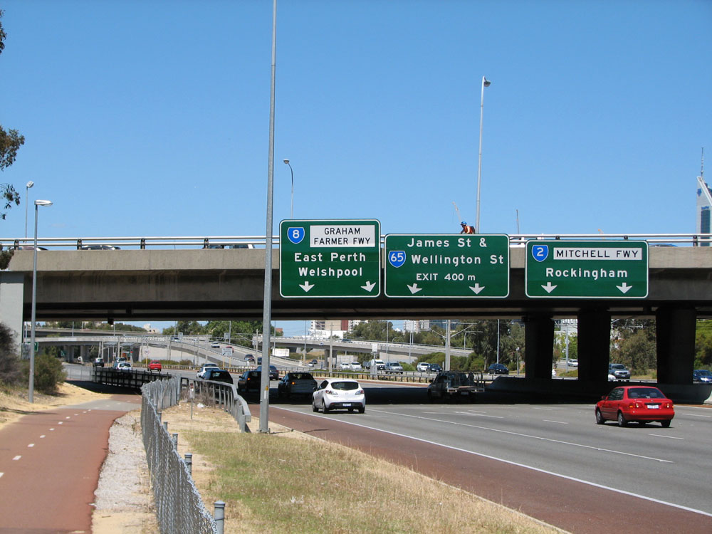    |
State Route 65 signage facing southbound traffic on Mitchell Freeway and the off-ramp to Wellington Street at West Perth. Top 3 photos: October 2010. Bottom photo: October 2011. |
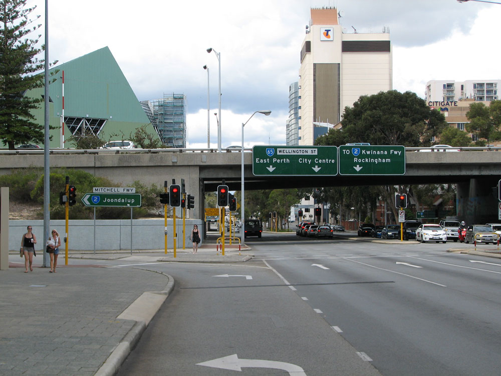 |
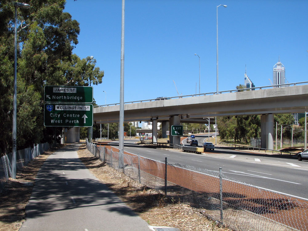
Signage facing eastbound traffic on Wellington Street at the junction with Mitchell Freeway, West Perth. Photo taken: October 2011. |
 |
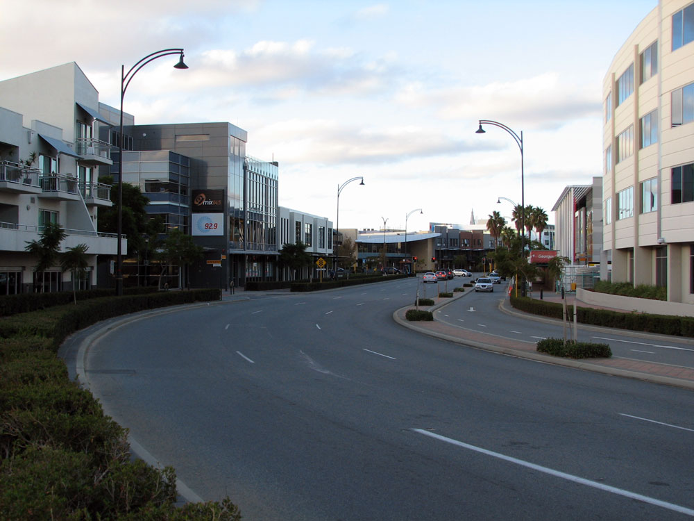
Wellington Street looking west towards the junction wiuth Sutherland Street at West Perth. Prior to the opening of the north-facing ramps at Wellington Street, this was the main entrance to the freeway north from Perth CBD. Photo taken: May 2010. |
 |
Freeway green AD sign eastbound on Wellington Street approaching Sutherland Street, West Perth. Photo taken: May 2010. |
 |
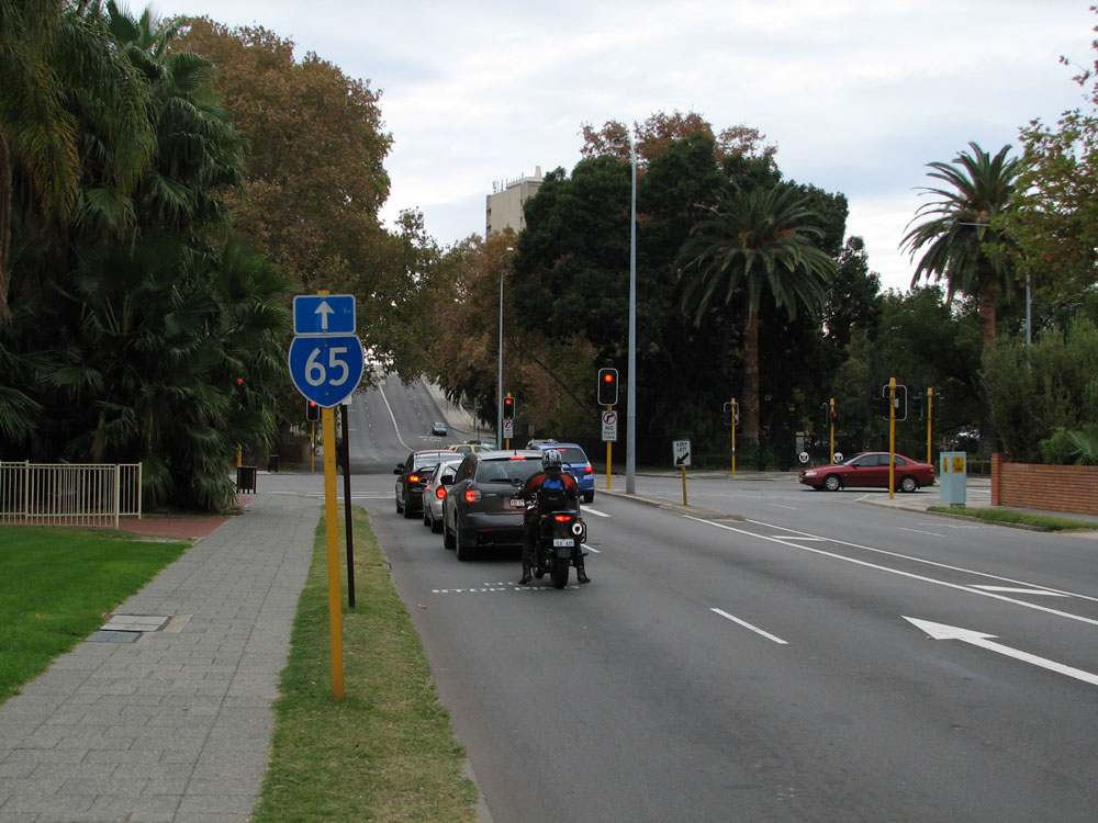
SR65 trailblazer facing westbound traffic on Wellington Street after the junction with Havelock Street, West Perth. Photo taken: May 2010. |
 |
AD sign westbound on Wellington Street approaching the start of the one-way pairing through Subiaco at Thomas Street. This one-way pairing is terribly signed. Also note the missing SR61 shield for the left turn. Photo taken: May 2010. |
 |
SR65 trailblazer facing eastbound traffic on Wellington Street as you leave the junction with Thomas Street, West Perth. Photo taken: May 2010. |
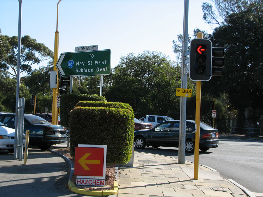 |
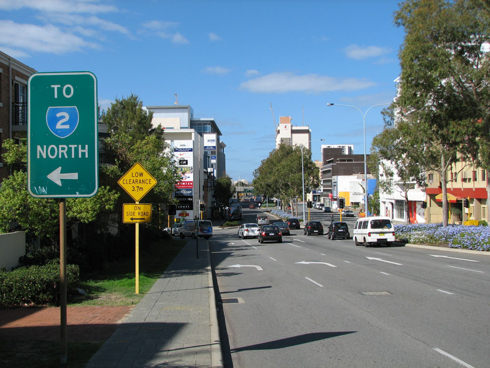
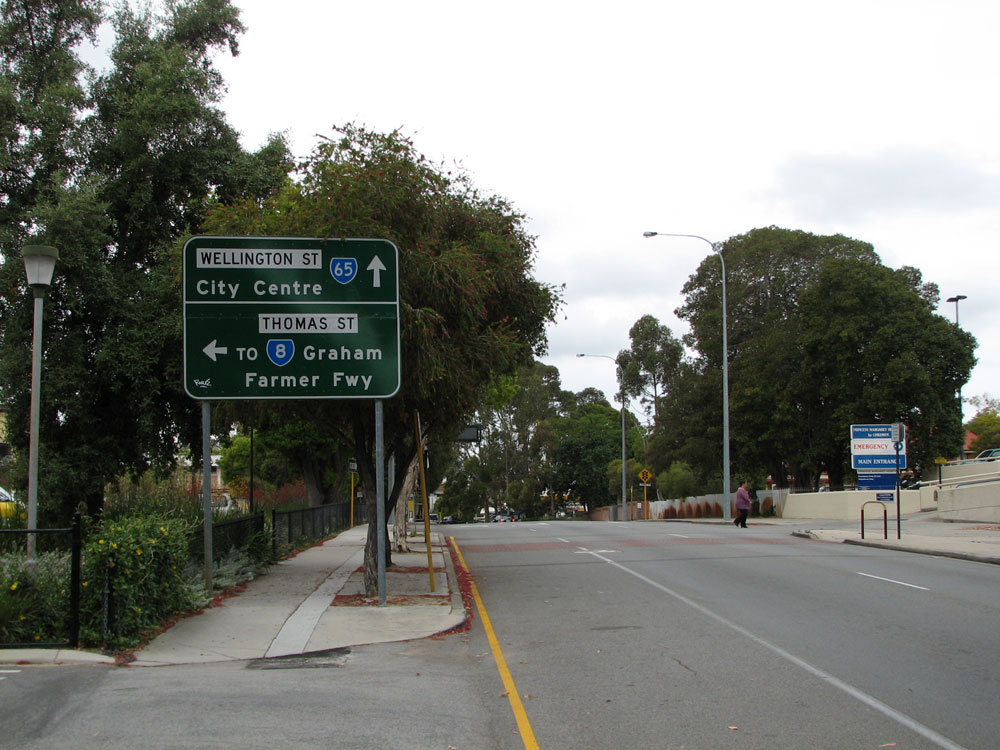
ID sign facing westbound traffic at the junction of Thomas Street & Wellington Street, West Perth. This sign tells motorists that SR65 turns left here but there's no sign telling them to then turning right into Hay Street!. Note the missing SR61 shield. Photo taken: May 2010. |
 |
Trailblazer sign assembly northbound on Thomas Street approaching Wellington Street, West Perth. Photo taken: May 2010. |
Photos of State Route 65 one-way pairing through Subiaco - WESTBOUND |
|
 |
AD sign southbound on Thomas Street approaching the junction with Hay Street, West Perth. Note the absence of any mention of SR65 which turns right here. Photo taken: May 2010. |
 |
Trailblazer sign westbound on the unnumbered section of Hay Street approaching the junction with Thomas Street. Note the missing SR65 trailblazer which should the route going both straight ahead and right. Photo taken: May 2010. |
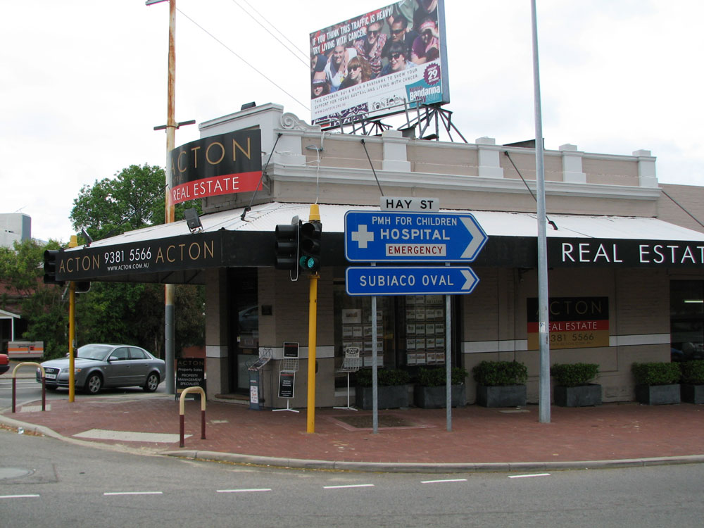 |
ID sign facing southbound traffic at the junction of Thomas & Hay Streets, West Perth. Note the absence of a SR65 route marker. Photo taken: October 2010. |
 |
Thomas Street looking north towards the junction with Hay Street, West Perth. Note that the trailblazer assembly is missing a SR65 shield (pointing both left and straight ahead), as is the ID sign. Photo taken: October 2010. |
 |
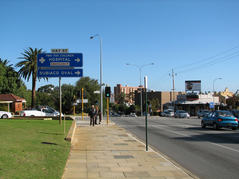
Hay Street looking west into Subiaco from the junction with Thomas Street. Photo taken: October 2010. |
 |
Hay Street looking east near the junction with Rokeby Road, Subiaco. Photo taken: November 2010. |
 |
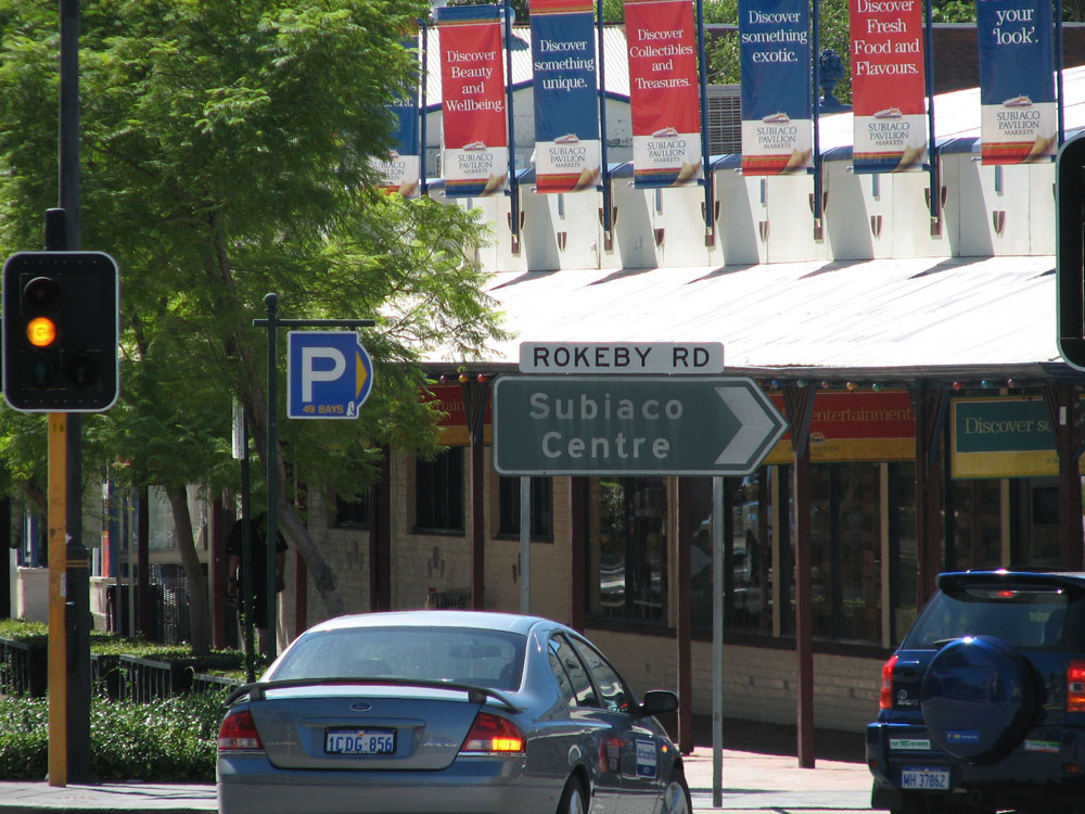
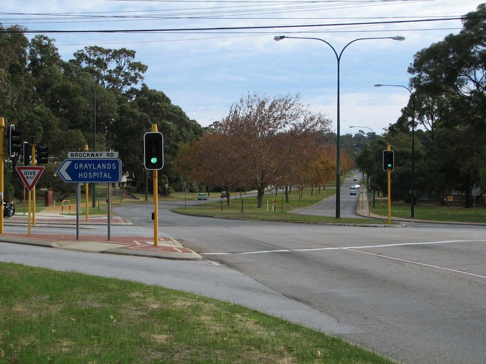
Hay Street looking west at the junction with Rokeby Road, Subiaco. Rokeby Road forms the main street of Subiaco. Photo taken: November 2010. |
Photos of State Route 65 one-way pairing through Subiaco - EASTBOUND |
|
 |
Roberts Road looking east from the junction with Hay Street, Subiaco. This section of road was constructed as part of the redevelopment of Subiaco's former light industrial zone which include sinking the rail line through the town centre. Photo taken: May 2010. |
 |
Old black ID sign at the junction of Roberts Road & Rokeby Road, Subiaco. This sign has since been removed and not replaced. Source: Vi Ong, February 2006. |
 |
ID sign assembly facing southbound traffic at the junction of Roberts Road, Haydn Bunton Drive & Townshend Road, Subiaco. Photo taken: March 2011. |
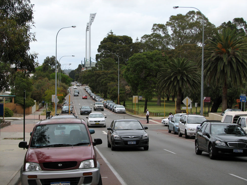 |
Roberts Road looking west at the junction with Hamilton Street, Subiaco. The big light towers mark the loction of Subiaco Oval. Photo taken: March 2011. |
 |
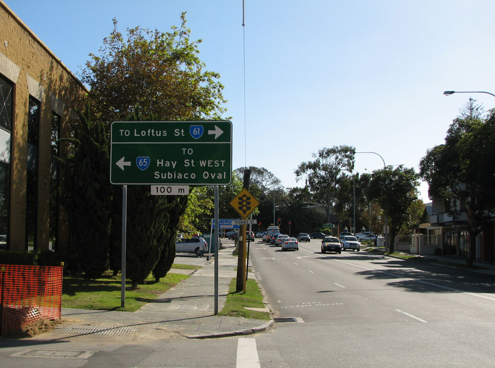
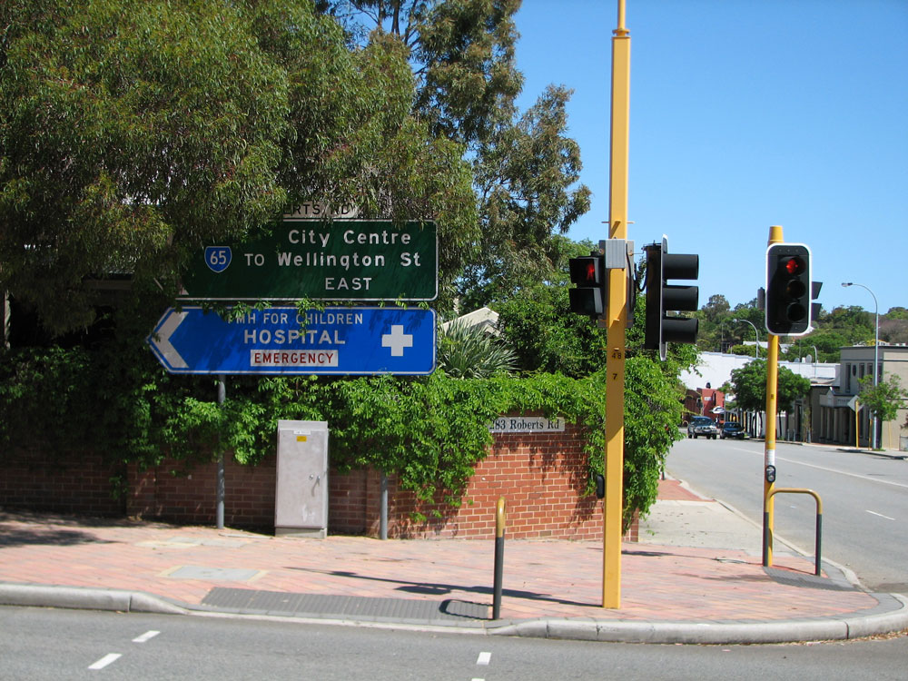
AD sign eastbound on Roberts Road approaching the junction with Thomas Street, West Perth. Note the missing SR61 shield for the left turn. Photo taken: October 2010. |
 |
Trailblazer sign assembly eastbound on Roberts Road approaching Thomas Street, West Perth. Photo taken: October 2010. |
Photos of State Route 65 - Subiaco to City Beach |
|
 |
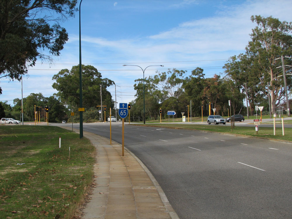
Hay Street looking east towards the start of the one-way pairing at Roberts Road & Railway Road, Subiaco. Photo taken: May 2010. |
 |
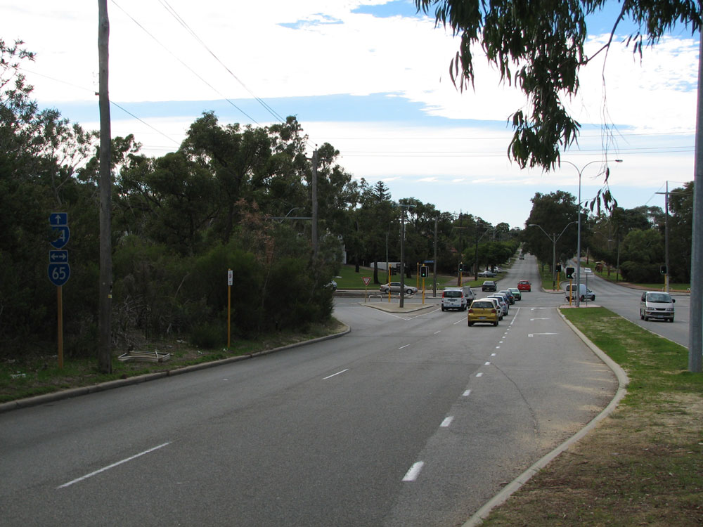
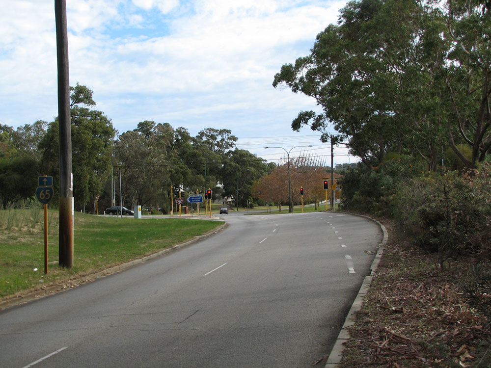
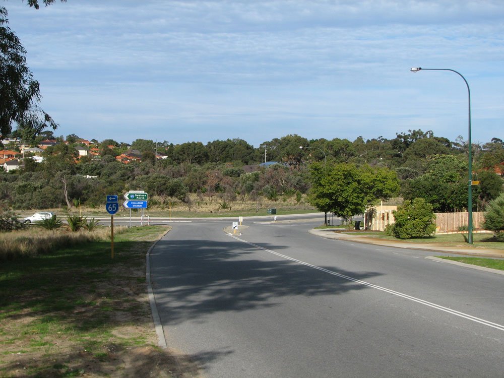
SR65 trailblazer sign westbound on Hay Street approaching the junction with Stubbs Terrace, Subiaco. This intersection has since been signalised. Photo taken: May 2010. |
 |
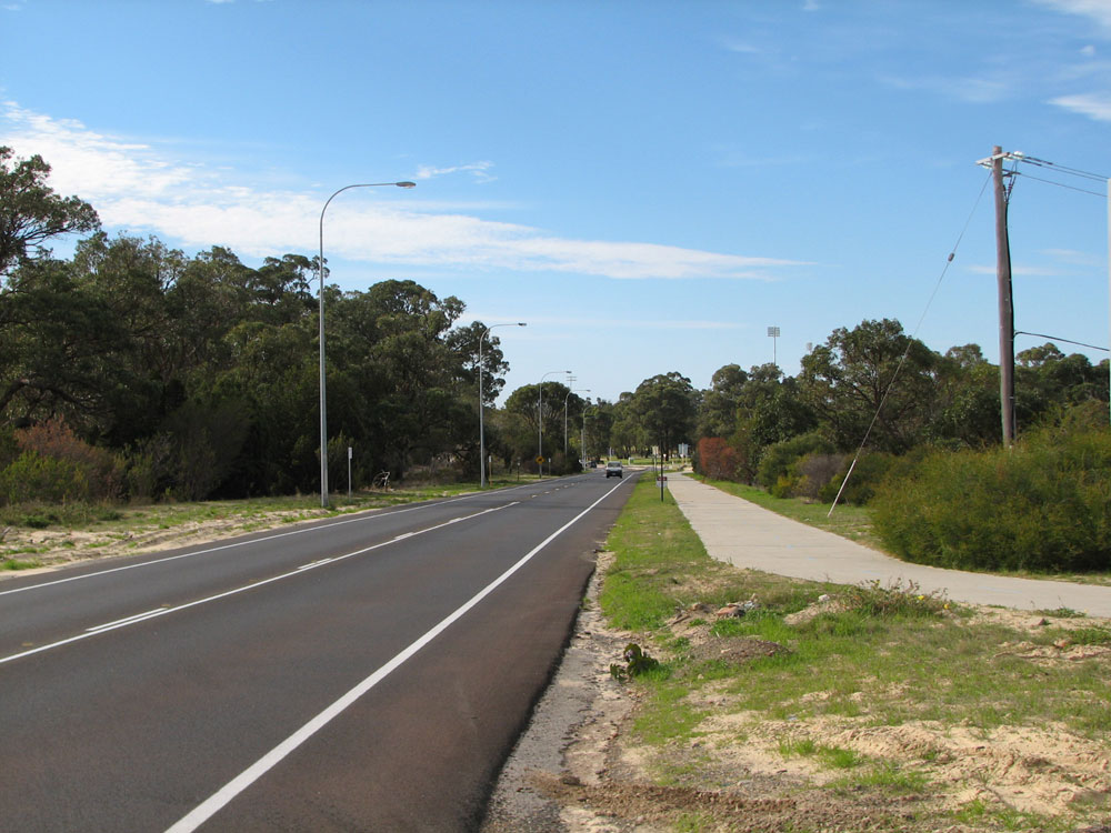
Hay Street looking west at Tighe Street, Jolimont. Hay Street changes into a wide, four-lane boulevard constructed to provide access to the Empire Games sporting facilities at Perry Lakes. Photo taken: June 2011. |
 |
Hay Street looking west from the junction with Jersey Street, Jolimont. Photo taken: June 2011. |
 |
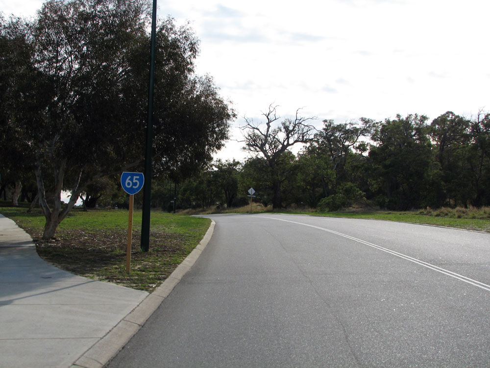
Hay Street looking west towards the junction with Selby Street, Jolimont. State Route 65 continues straight as Underwood Avenue. Photo taken: June 2011. |
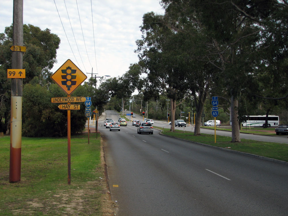 |
Trailblazer sign assemblies southbound on Selby Street approaching the junction with Hay Street & Underwood Avenue. Note the stains on the sign and light poles from the iron-heavy bore water. Photo taken: June 2011. |
 |
Trailblazer sign assembly northbound on Selby Street approaching the junction with Hay Street & Underwood Avenue. Photo taken: June 2011. |
 |
Trailblazer sign assembly eastbound on Underwood Avenue approaching the junction with Selby Street, Jolimont. Photo taken: June 2011. |
 |
Reassurance SR65 trailblazer westbound on Underwood Avenue after the junction with Selby Street, Floreat. Photo taken: June 2011. |
 |
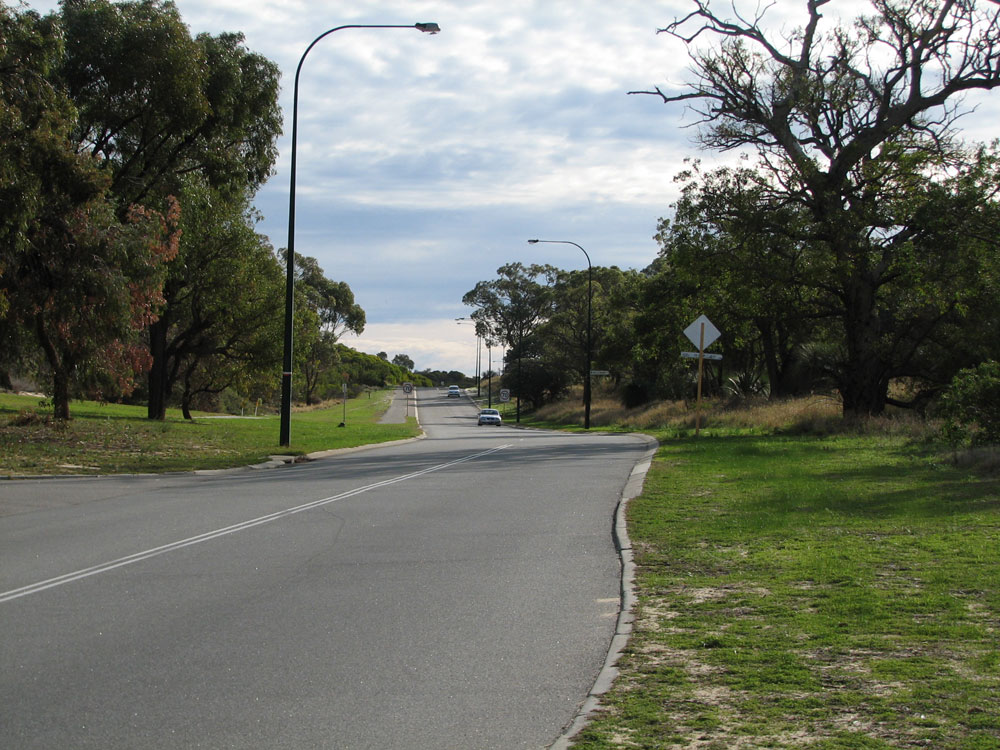
Underwood Avenue looking west towards the junction with Brookdale Street & Brockway Road, Floreat. Photo taken: June 2011.. |
 |
ID sign facing westbound traffic at the junction of Underwood Avenue, Brookdale Street & Brockway Road. Photo taken: June 2011. |
 |
SR65 trailblazer sign eastbound on Underwood Avenue approaching the junction with Brookdale Street & Brockway Road at Floreat. Photo taken: June 2011. |
 |
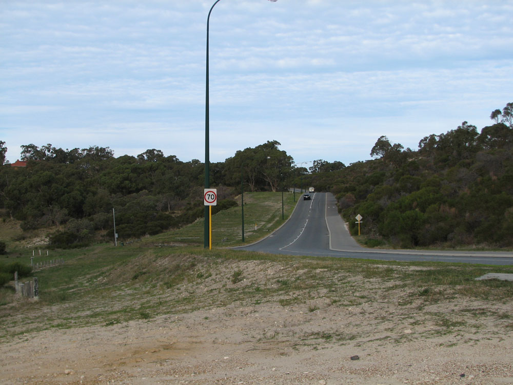
Stephenson Avenue looking north towards the curve into Underwood Avenue at Mt Claremont. This section of road was constructed to provide access to the Empire Games facilities at Perry Lakes and was built on the now abandoned Stephenson Freeway reservation. Photo taken: June 2011. |
 |
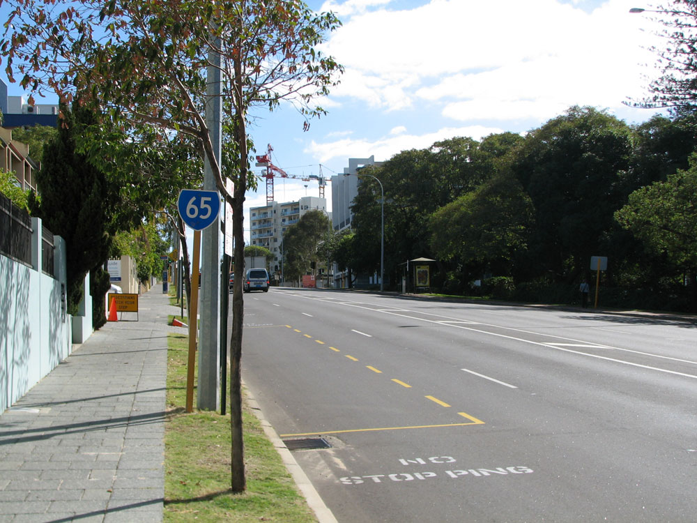
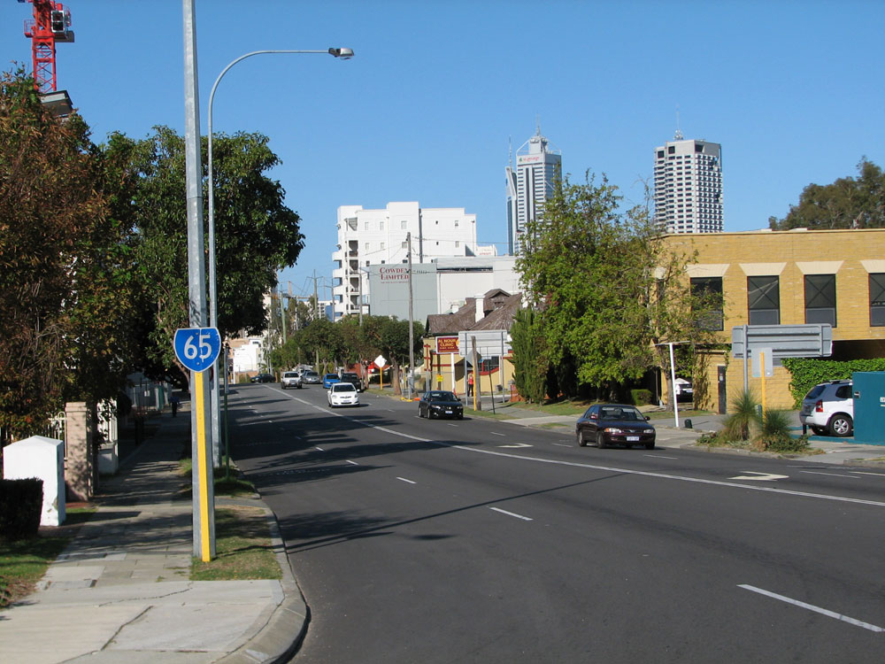
State Route 65 trailblazer sign northbound on Stephenson Avenue near the junction with Montgomery Drive, Mt Claremont. Photo taken: June 2011. |
 |
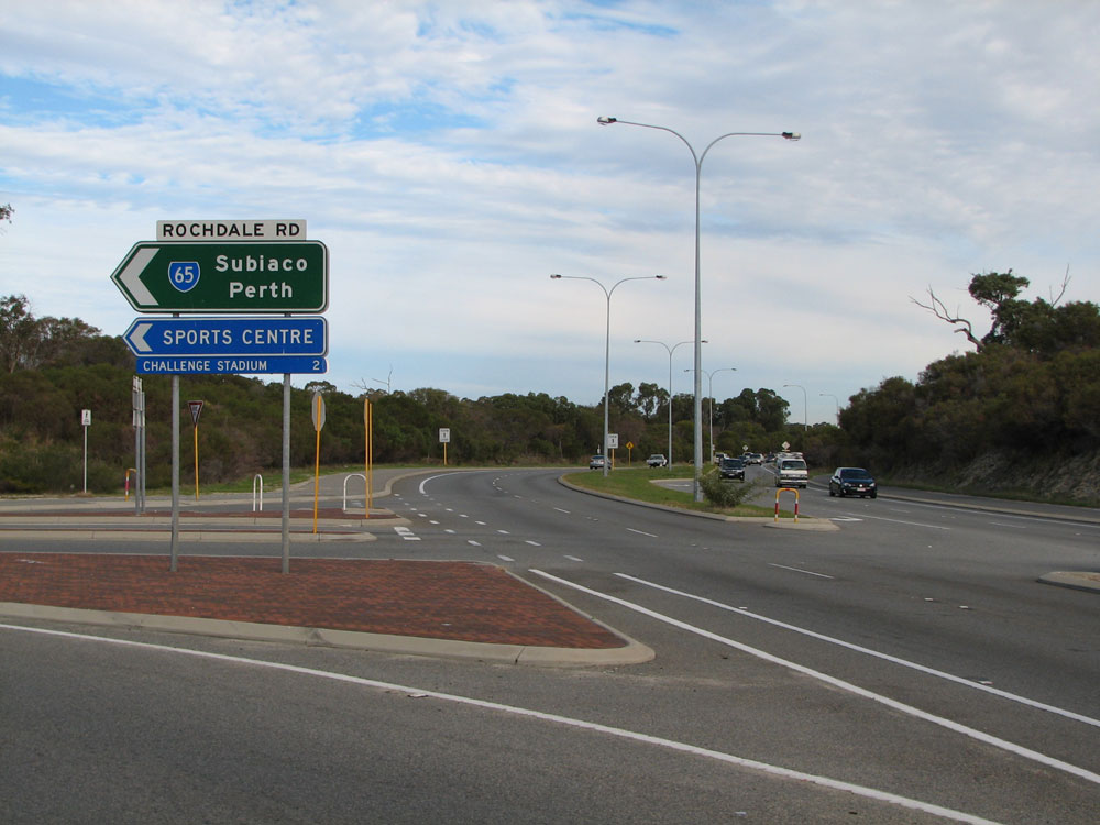
Stephenson Avenue looking south towards the junction with Rochdale Road, Mt Claremont. Prior to 1985, when West Coast Highway was extended south to Alfred Road, Rochdale Road carried heavy traffic from the West Coast Highway at City Beach towards Claremont, Cottesloe and Fremantle. These days it is a relatively quiet route providing access to adjacent suburbs and forming the westernmost section of State Route 65. Photo taken: June 2011. |
 |
ID sign facing southbound traffic at the junction of Rochdale Road & Stephenson Avenue, Mt Claremont. Photo taken: June 2011. |
 |
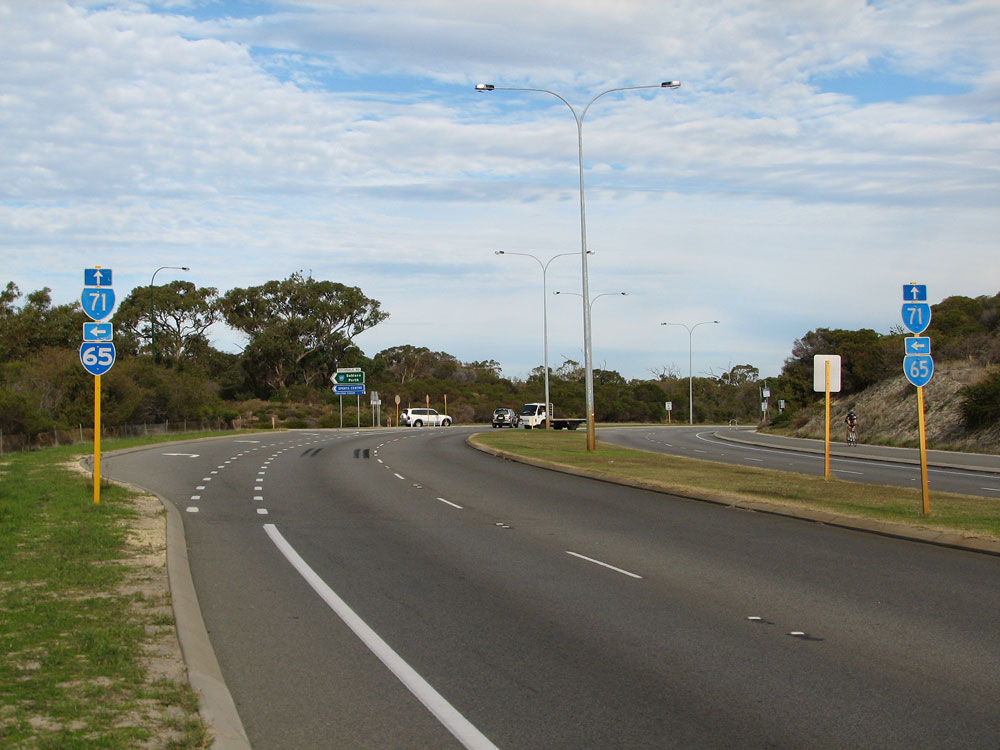
ID sign assembly pointing northwards along Stephenson Avenue at the junction with Rochdale Road, Mt Claremont. Photo taken: June 2011. |
 |
Rochdale Road looking southeast towards the junction with Stephenson Avenue, Mt Claremont. Photo taken: June 2011.. |
 |
State Route 65 trailblazer facing westbound traffic on Rochdale Road at Mt Claremont. Photo taken: June 2011. |
 |
Rochdale Road looking west alongside the southern edge of Bold Park at McClemmans Road, Mt Claremont. Photo taken: June 2011. |
 |
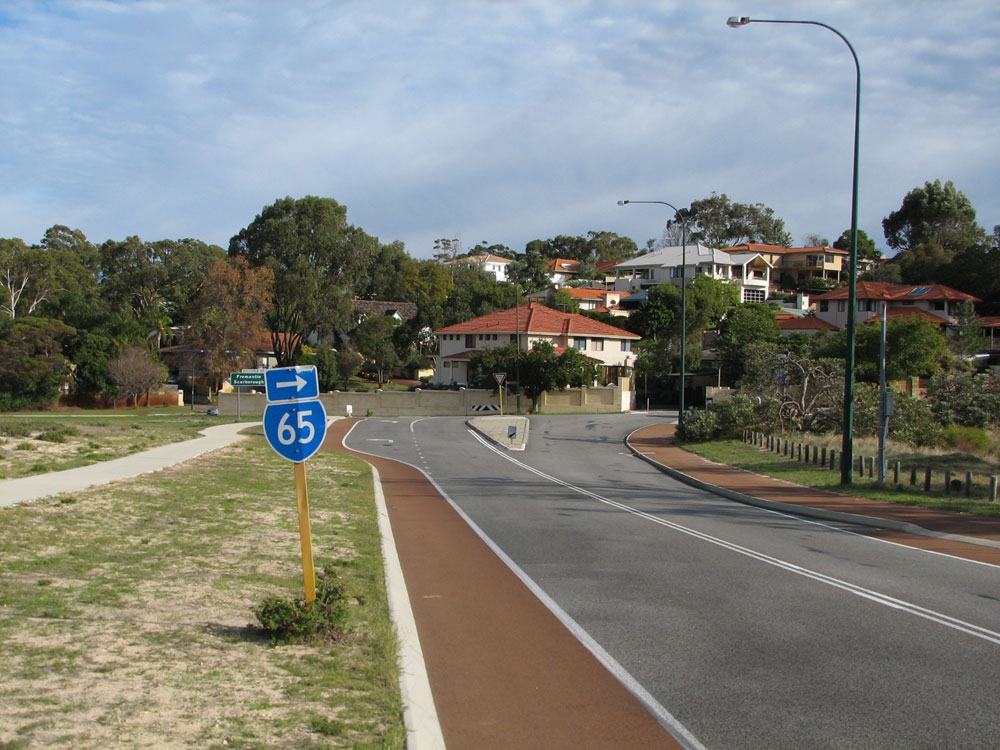
Rochdale Road looking southeast near the junction with West Coastal Highway at City Beach. Photo taken: June 2011. |
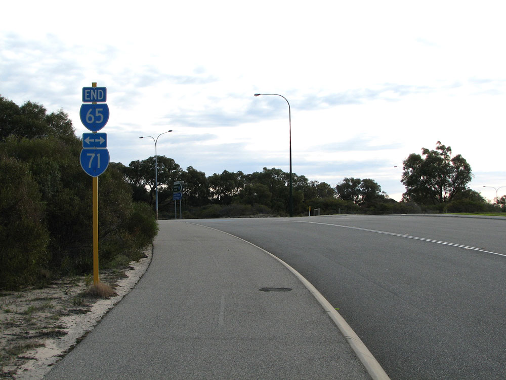 |
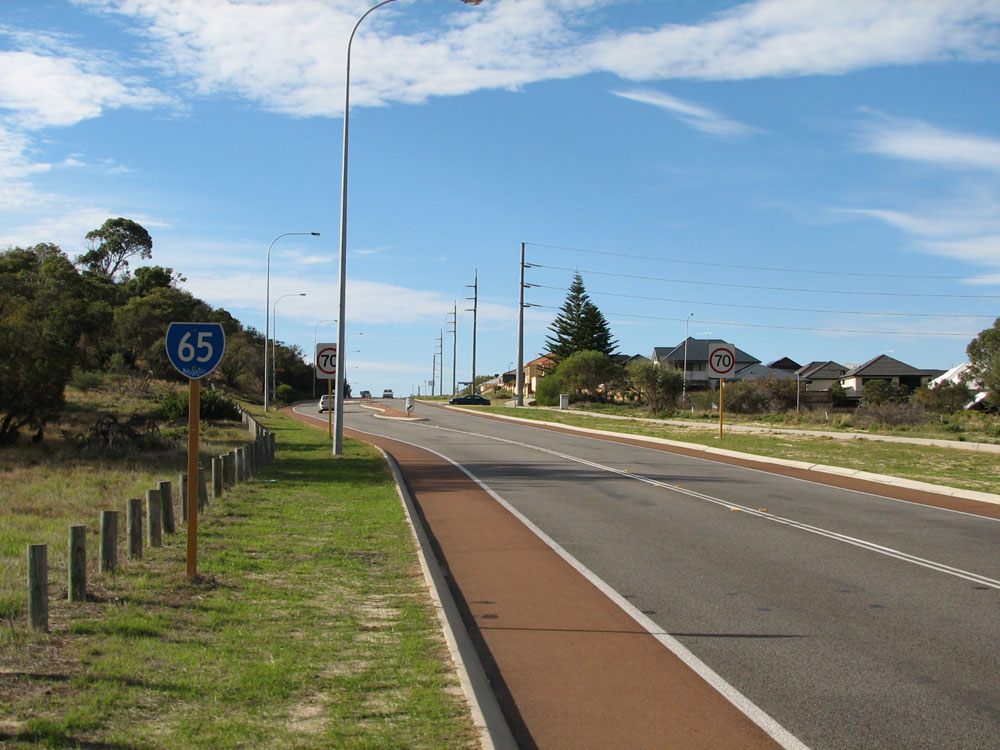
Trailblazer sign assembly marking the western terminus of State Route 65 at the junction of West Coast Highway & Rochdale Road, City Beach. Photo taken: June 2011. |
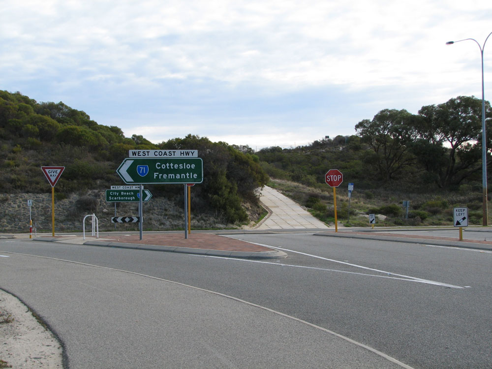  |
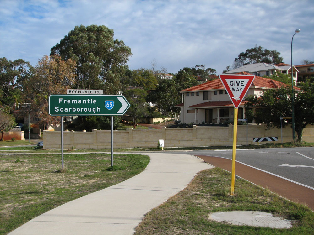
ID signs at the junction of West Coast Highway & Rochdale Road, City Beach. Photos taken: June 2011. |
 |
Trailblazer sign assemblies southbound on West Coast Highway approaching the junction with Rochdale Road, City Beach. Note the incorrect font used on the left hand SR65 shield! There's no corresponding trailblazers facing northbound traffic. Photo taken: June 2011. |
Last updated 23 December 2012 © Ozroads 2003-2012. |