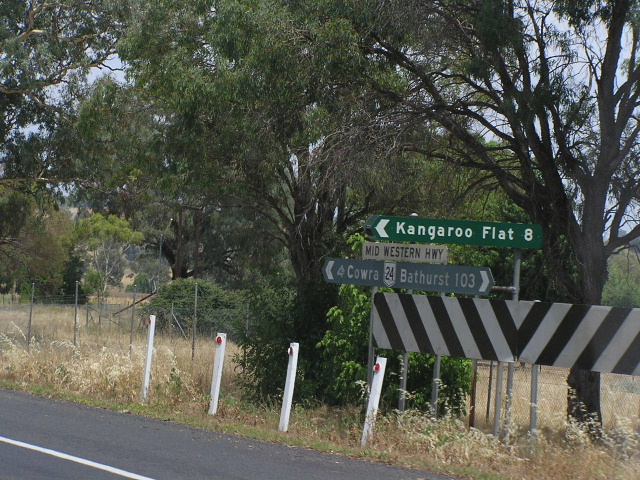
National Route 24 Mid Western Highway |
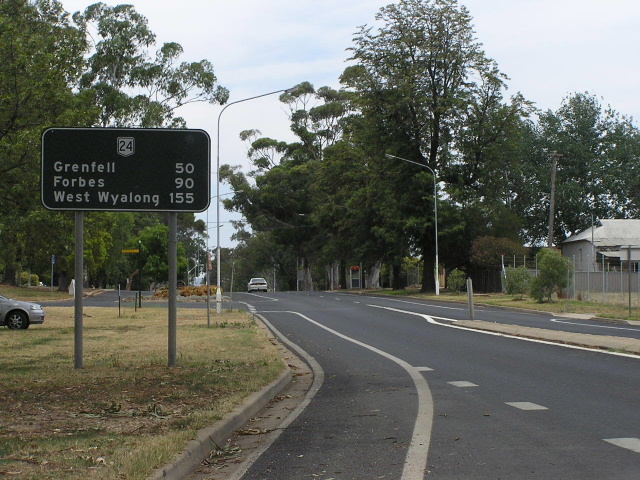
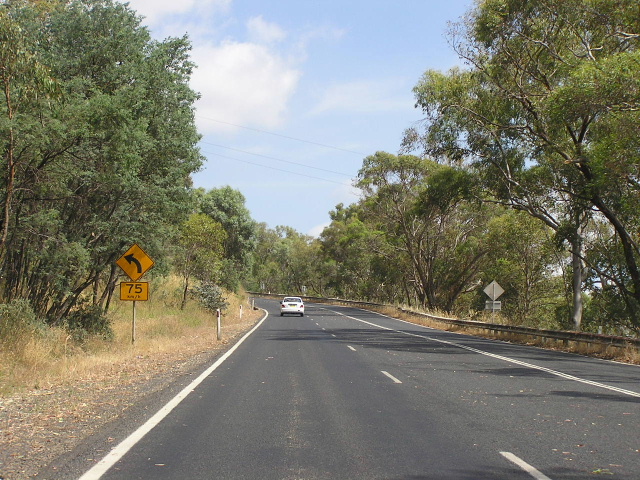
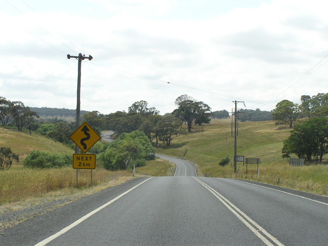
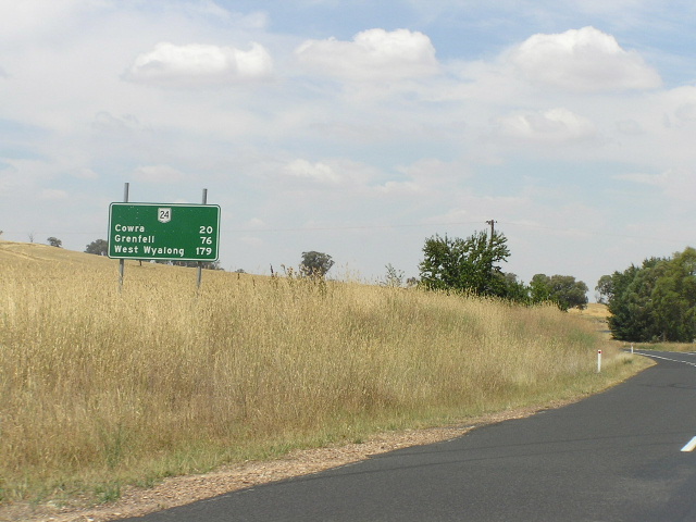
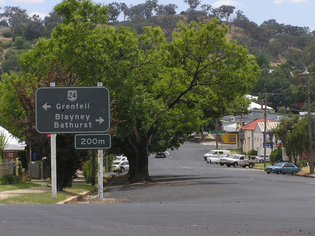
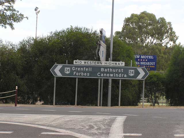
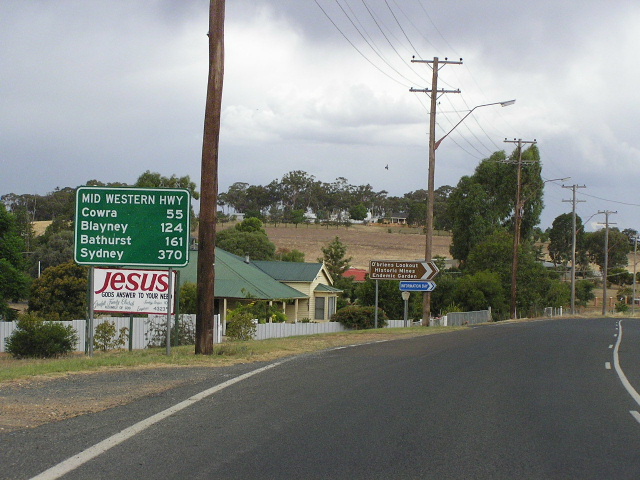
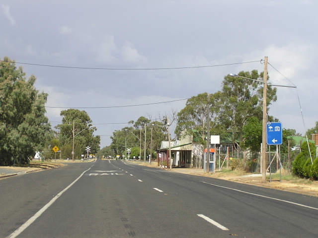
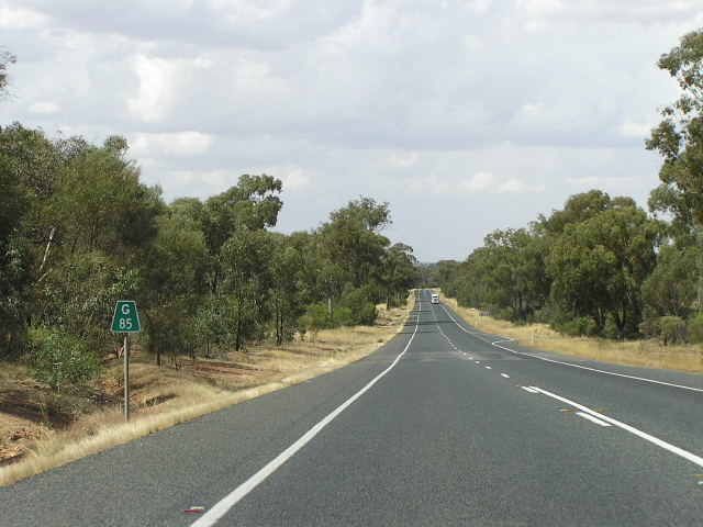
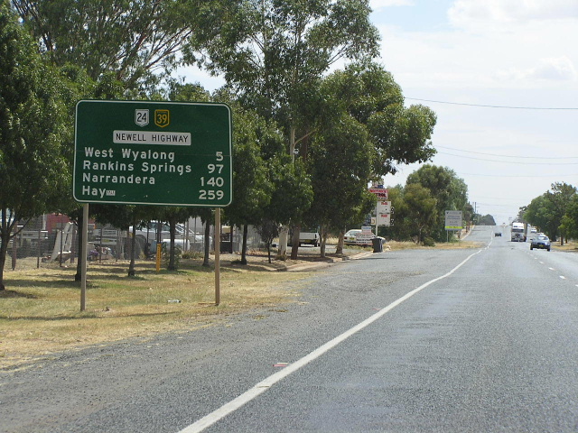
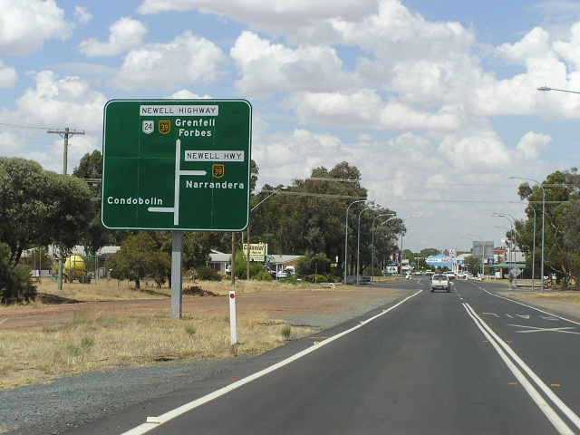
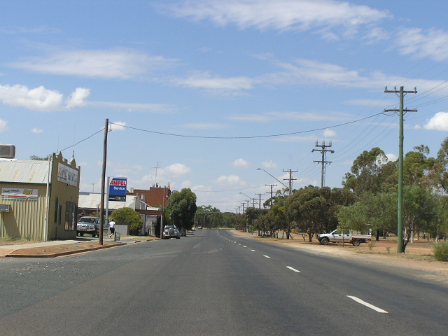
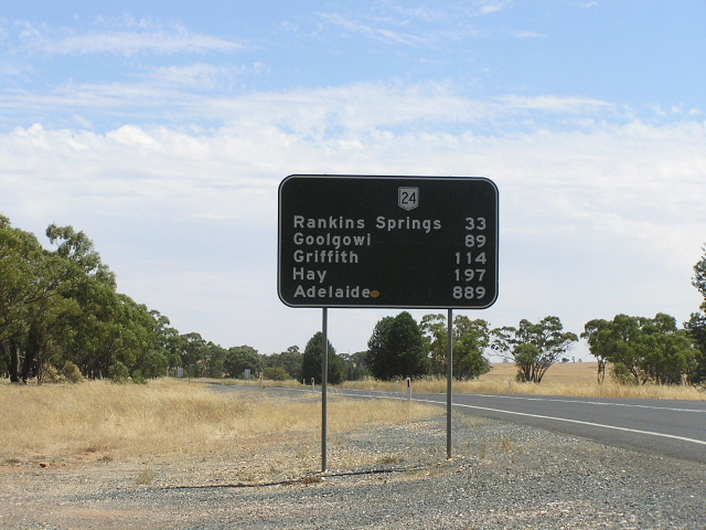
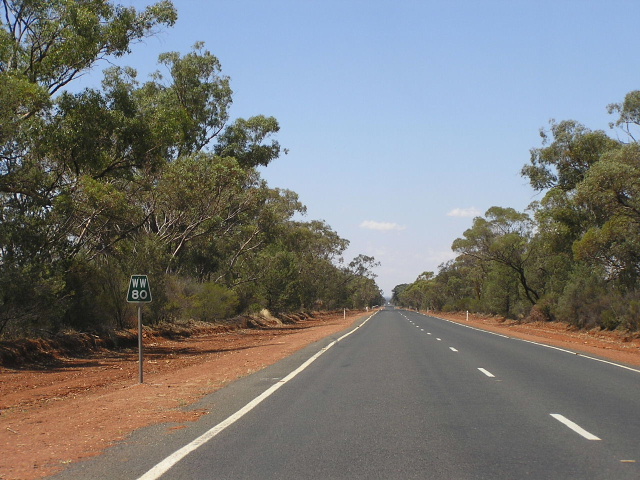
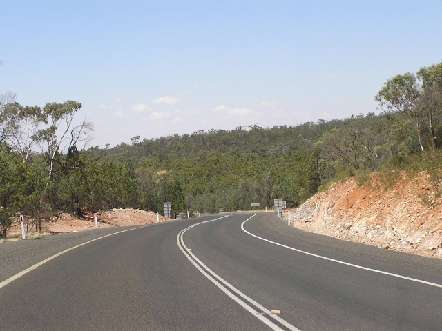
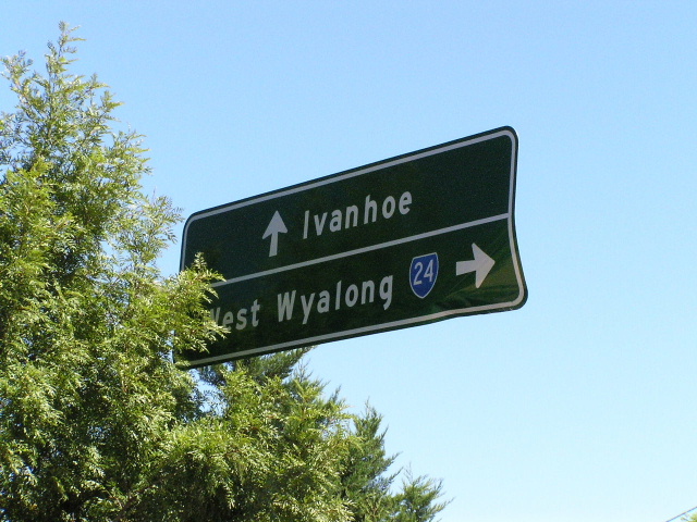
Black distance sign heading west from the Olympic Highway at Cowra. Jan 2006.
In 2013, RMS will be implementing a new alpha-numeric route numbering system. For more information, visit the RMS Website. |
||
Forthcoming alpha-numeric route number: |
(Bathurst to Cowra section) |
|
(Cowra to Hay section) |
||
Length: 516km
Route Name: Mid Western Hwy
Eastern Terminus: Great Western Hwy (NR32) & Mitchell Hwy (NR32), Bathurst
Western Terminus: Cobb Hwy (NR75), Hay
Focal Points: Bathurst, Cowra, Grenfell, West Wyalong, Hay
RTA Internal Classification: State Highway No. 6
Proclaimed a State Highway: 8th August 1928
Named: 8th August 1928
Route Overview:
National Route 24 is the Mid Western Hwy, suprisingly an east-west route through mid-west NSW. It is one branch of the major western route from Sydney, the Great Western Hwy, which also branches into the Mitchell Hwy at Bathurst. It is rural highway for its entire length, but not having travelled any great section of it, i couldnt tell you much about road quality.
The Mid Western Hwy has had quite a reshaping since its naming and proclamation as one of the first 13 state highways in 1928. Originally, with no Sturt Hwy yet, the Mid Western Hwy was still the primary route to mid and south-west NSW and thus extended all the way to the South Australian border near Renmark, deviating from the current alignment at Goolgowi, and passing through Booligal, One Tree, Oxley, Penarie, Balranald, Euston, Buronga, Wentworth and Victoria Lake. The vast majority of this route was (and in some places still is) unsealed, and nothing more than a desert track. Less than a year later, in December 1929, the Goolgowi to Balranald section was re-routed via the present-day alignment to Hay and along the present-day Sturt Hwy to Balranald. In August 1933 the Sturt Hwy was proclaimed, and the Mid Western Hwy was reduced to its present length. Initially, the State Highway 6 classification was continuous across the Newell Highway duplex (mainly becuase the Newell Hwy had not been proclaimed at the time), and this remained so until January 1993, when the RTA finally recognised the importance of the Newell Hwy as a through route and reclassified the duplex to State Highway 17, the Newell's classification.
At the time of its proclamation in 1928 the Mid Western Hwy was merely an incorporation of lengths of road which had previosuly been of only local importance. The highway from Grenfell west to Hay for the greater part lacked any type of surface and was largely unformed. The first work to be done on the highway was the complete reconstruction of the Grenfell-Hay section of highway, provision of a gravel surface and minor deviations and creek crossings. On the eastern portion of the highway a bituminous surface was provided from Bathurst as far west as Grenfell by 1954.
The Mid Western Hwy was designated National Route 24 in 1954, at the dawn of the National Route system, and was signposted in 1958. Its route numbering has remained constant for nearly half a century, and not a lot has changed on road either. Various minor upgrades have taken place, including the progressive bituminous surfacing of the highway, completed in December 1966. The only significant deviation constructed since the 1930's, at Carcoar, is examined closer below.
National Route 24 shares pavement with two other routes, 500m with State Route 81 across the Lachlan River in Cowra, and 37km with National Highway 39 (Newell Hwy) between Marsden and West Wyalong.
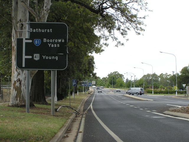
Signage at the western end of NR24 indicates that the route terminates at the Sturt Hwy, which is perhaps quite a good idea allowing easy navigating between these two highways. However, the official western terminus of NR24 is at the intersection with the Cobb Hwy on the northern outskirts of Hwy, as defined by the RTA's State Highway 6 classification.
Below is a list of notable events in the history of NR24/Mid Western Hwy:
1876 - Old timber bridge over the Belubula River at Carcoar
1893 - Bridge over Lachlan River, Cowra
1928 - Proclaimed State Highway 6 and named Mid Western Hwy, extending west to SA
December 1929 - Re-routed between Goolgowi and Balranald
October 1933 - Truncated at Hay
1940-41 - Initial Carcoar Deviation
December 1966 - Full bituminous sealing completed
1975 - Carcoar Deviation (examined in greater detail below)
January 1993 - Newell Hwy duplex reclassified as State Highway 17
February 1995 - Newell Hwy intersection at Marsden reconstructed to favour north-south Newell Hwy traffic
June 2003 - Kings Plains Deviation
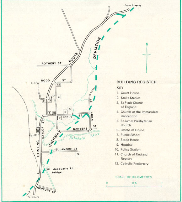
Spotlight On: Carcoar Deviation
The Carcoar Deviation is the only major construction project to have taken place on the highway since its proclamation in 1928. Prior to 1940, several schemes were considered for an internal deviation, and in 1940-41 a short deviation was constructed which improved grades an eliminated several dangerous curves. However, the final westbound descent through the main street remained with a 10.2% grade culminating in 90° and 70° curves before crossing the Belubula River on a narrow timber bridge.
The current alignment was built in 1974-75 as the only suitable route of the many considered. Care was needed to avoid Carcoar's historic buildings, the railway line on the western side of town and the Belubula River which winds its way through the town. This restricted the route to being located within a narrow strip of land on the eastern side of town. Lyndhurst Shire Council also requested the route be moved further away from the primary school, resulting in a more costly alignment. The deviation was constructed entirely by the DMR's own forces, from the Orange Works Office, for a total cost of $1.5 million (1975). The route was proclaimed a motorway for 2.8km of its 3.5km length.
Click HERE for a map of the Carcoar Deviation and old alignment.
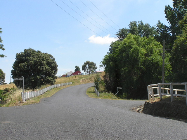 |
Looking north along the old Mid Western Highway in Carcoar. To the right is the original alignment of the highway - the straight route with the wire mesh fencing was constructed in 1940-41 to eliminate several dangerous grades. Jan 2006. (Location of photo on Carcoar map is adjacent to buildings No. 3 & 11.) |
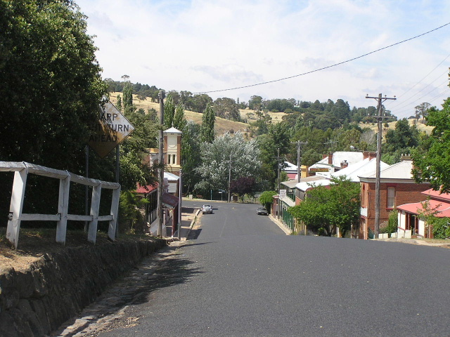 |
Looking south along the old Mid Western Hwy in Carcoar towards the dog-leg at Icely St and the bridge over the Belubula River. Note the steep grade and extremely old warning sign that reads "Sharp Right Turn Ahead". Jan 2006. |
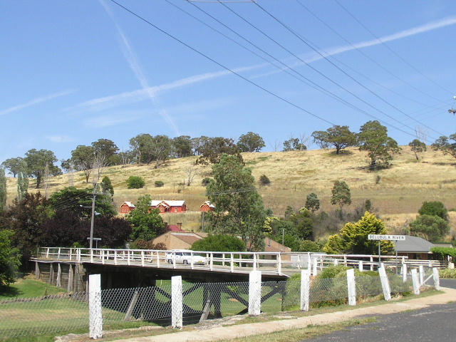 |
The timber bridge over the Belubula River built in 1876. Jan 2006. |
Photos of National Route 24
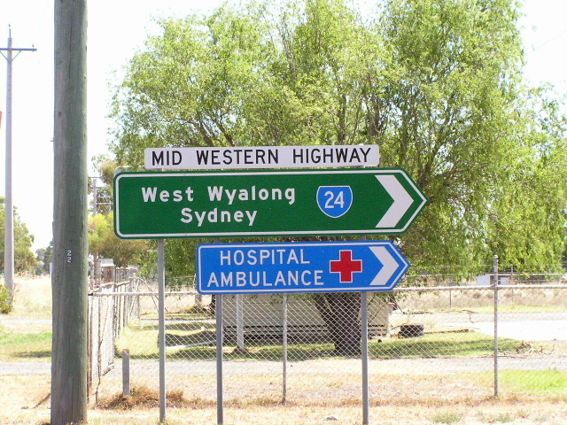
Eastern Terminus: Great Western & Mitchell Hwys, Bathurst |
|
 |
The first mention of NR24 westbound on the Great Western Hwy. This intersection not only marks the eastern terminus of NR24/Mid Western Hwy, but the Micthell & Gt Western Hwys also terminate here. Photo taken June 2004.
|
 |
The Mitchell Hwy eastbound approaching the intersection. Photo taken June 2004. |
 |
NR24/Mid Western Hwy on the home stretch, approaching its eastern terminus. Photo taken June 2004. |
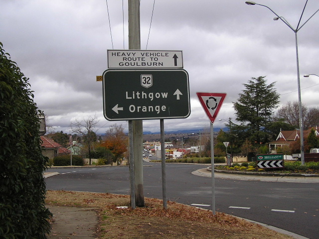 |
A black painted AD sign doing an ID sign's job. This sign marks the eastern terminus of NR24 and directs travellers to either Lithgow or Orange via NR32. Photo taken June 2004. |
 |
Ahhh...the beginning of NR24. First RD sign, heading out of Bathurst. Photo taken June 2004. |
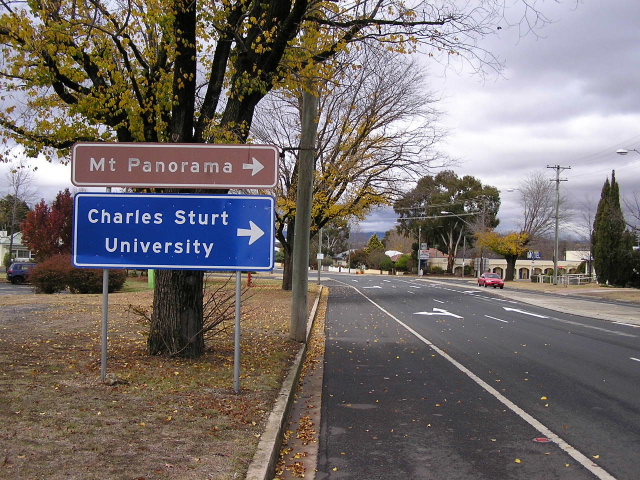 |
Signs at Browning St for the Mt Panorama Raceway and Charles Sturt University. Photo taken June 2004. |
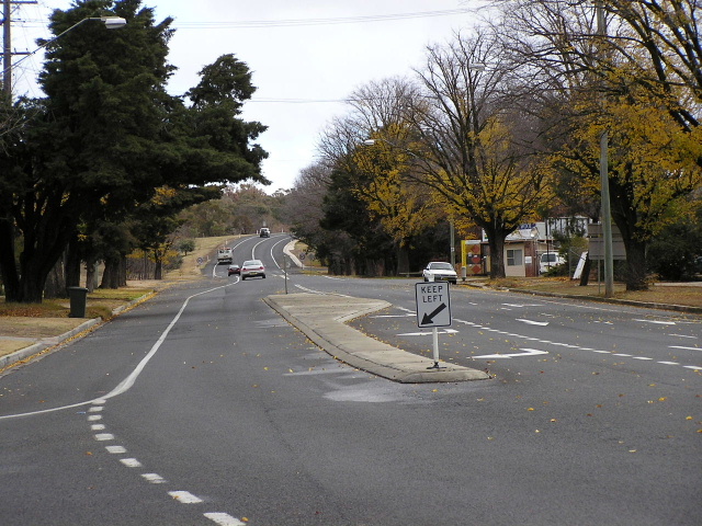 |
Looking west from Browning St out of Bathurst. Photo taken June 2004. |
National Route 24 Miscellaneous Pics |
|
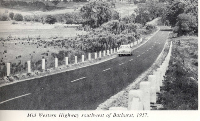 |
1957 photo of a typical section of the Mid Western Hwy between Bathurst and Cowra. Note the chain-wire fence.
|
 |
Looking west across Spring Creek at Evans Plains, where a new large culvert structure has recently replaced an old bridge on a poor alignment. Jan 2006. |
 |
Looking west between Evans Plains and Fitzgerald Mount. Jan 2006. |
 |
Looking west across Dicks Creek - a bridge that has been replaced in recent years. Old pavement on the former western approach to the bridge still remains as you can see. Jan 2006. |
 |
Looking west at the ascent of Fitzgerald Mount. Jan 2006. |
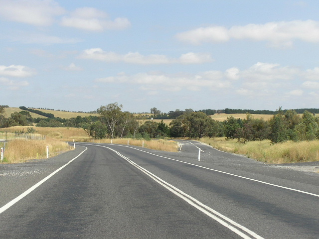 |
Looking west where the old and new alignments of the highway split at Kings Plains. Jan 2006. |
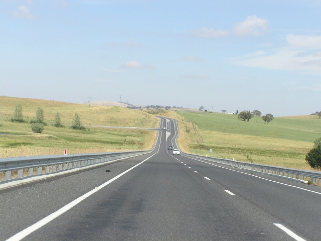 |
Looking west along the very high-standard Kings Plains Deviation, opened to traffic in 2003. Jan 2006. |
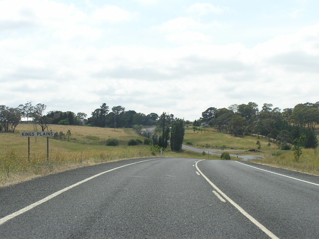 |
Looking east into Kings Plains along the old Mid Western Highway (Walkom Rd). Jan 2006. |
 |
The old highway alignment was quite winding, as can be seen from this photo. Jan 2006. |
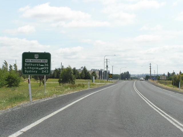 |
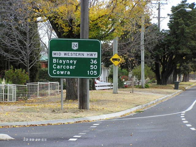
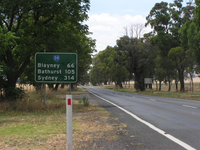
Distance sign heading east from Blayney. Jan 2006. |
 |
Ridiculous looking sign at Marshall St in Blayney. Jan 2006. |
 |
Looking south into Blayney town centre. Jan 2006. |
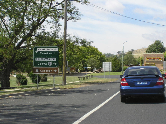 |
Southbound AD sign for Hobbys Yards Rd, which leads to the Bathurst-Goulburn road at Hobbys Yards. This road was formerly named "Barry Rd", hence the coverplated name patch. Jan 2006. |
 |
ID sign assembly facing southbound traffic at the junction of Mid Western Highway & Hobbys Yards Road, Blayney. Note the incorrect route shield - it should, of course, be a black and white National Route shield. Source: Chris Woods, March 2012. |
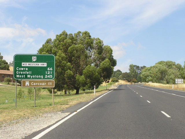 |
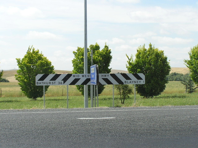
Distance sign heading west from Blayney. Jan 2006. |
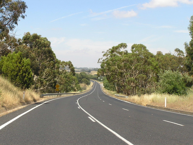 |
Looking west between Blayney and Carcoar. Jan 2006. |
 |
Looking west at the beginning of the Carcoar Deviation - the old highway alignment splits off to the right here. Jan 2006. |
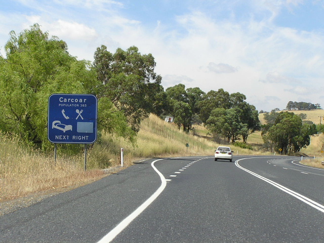 |
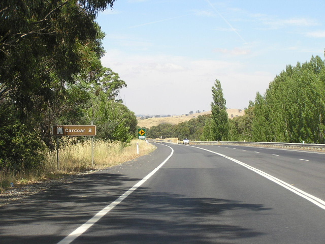
Typical bypassed town services sign westbound approaching the turnoff to carcoar (Icely St). Jan 2006. |
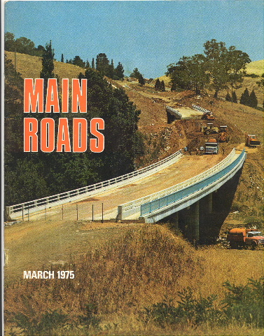 |
Photo of the Belubula River bridge on the Carcoar Deviation under construction in 1975. (DMR)
|
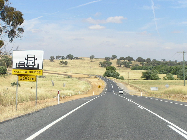 |
Narrow bridge in the process of being replaced - looking west between Carcoar and Mandurama. Jan 2006. |
 |
Looking west through the tiny town of Mandurama. Jan 2006. |
 |
Black AD sign for the Belubula Way (Canowindra turnoff) in Mandurama. Jan 2006. |
 |
Black fingerboard signs at the Belubula Way junction in Mandurama. Jan 2006. |
 |
Black AD sign eastbound for Belubula Way in Mandurama. Jan 2006. |
 |
Looking west into Lyndhurst. Jan 2006. |
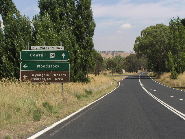 |
Unusual style sign assembly for the eastern turnoff to Woodstock. Jan 2006. |
 |
Pretty old black fingerboard sign at the same junction. Jan 2006. |
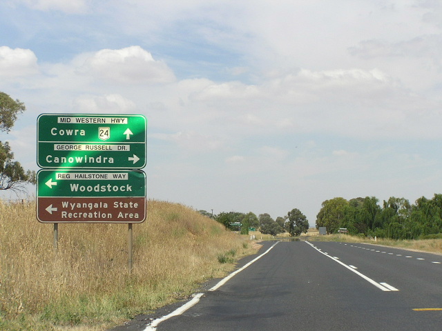 |
Unusual sign assembly again, this time at the junction with Reg Hailstone Way and George Russell Drive, 3km north of Woodstock. Jan 2006. |
 |
Distance sign located in a horribly off-the-road spot, heading west from the above junction. Jan 2006. |
 |
Fingerboard assembly 4km east of Cowra, showing old black sign and the distance incorrectly located on the right-hand side of the green sign. Jan 2006. |
 |
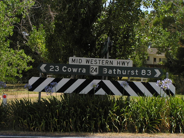
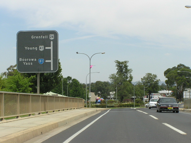
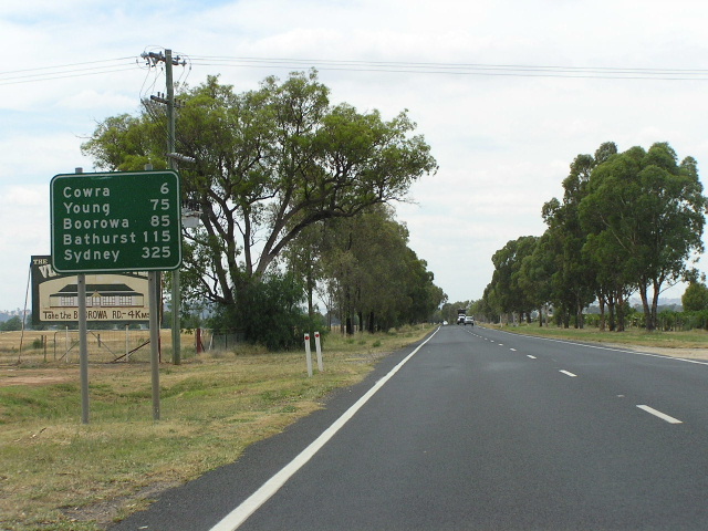
Distance sign with an incorrect SR24 shield, heading east from Cowra. Jan 2006. |
 |
1970's trailblazer still standing on Campbell St in Cowra, an old alignment prior to the railway overpass being constructed sometime in the 1970's. Thanks to Craig Crompton for this pic, taken in September 2004. |
 |
Black AD sign northbound on Fitzroy St approaching the Mid Western Hwy in Cowra. Jan 2006. |
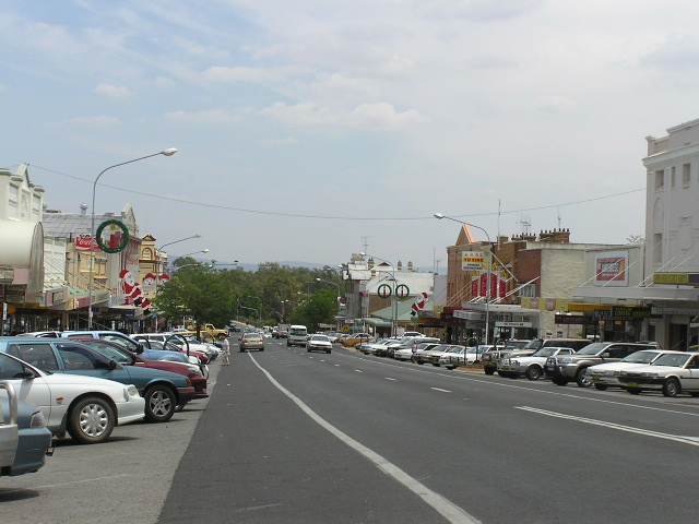 |
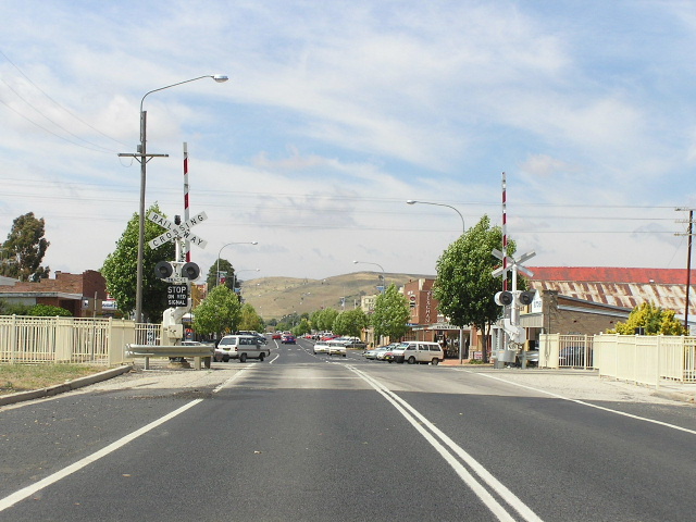
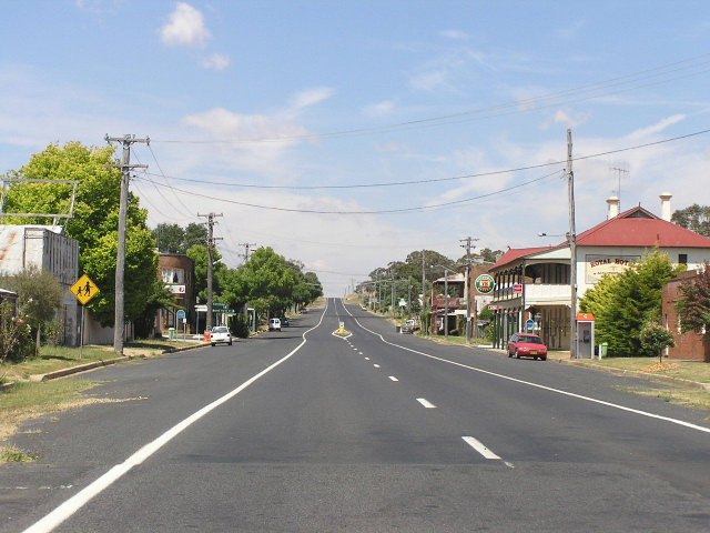
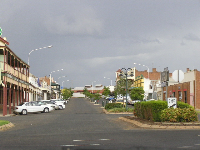
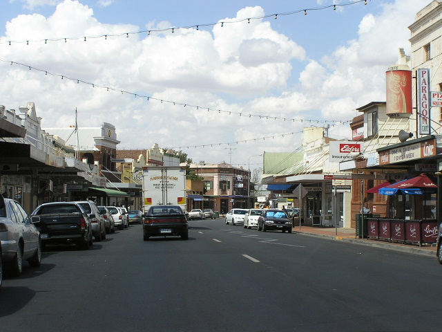
Looking west along the main street of Cowra. Jan 2006. |
 |
Rare erroneous black sign - the shield should be National Route 24 rather than State Route 24 - westbound approaching the junction with Lachlan St (SR81). Also note that SR81 goes straight ahead too - something which is not included in the sign. Jan 2006. |
 |
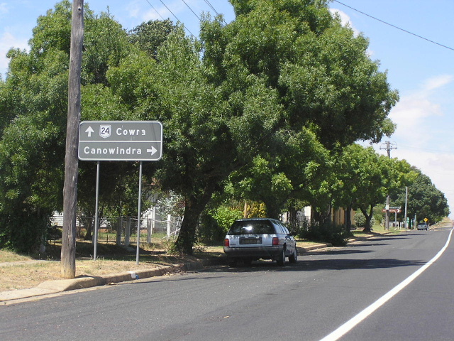
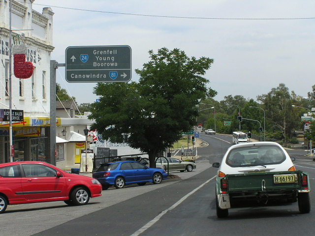
Great old black diagrammatic AD sign westbound approaching the closely-spaced junctions with SR81 (Lachlan Valley Way) and NR41 (Olympic Hwy). Jan 2006. |
 |
Black double-chevron ID sign at the Lachlan Valley Way junction in Cowra. Jan 2006. |
 |
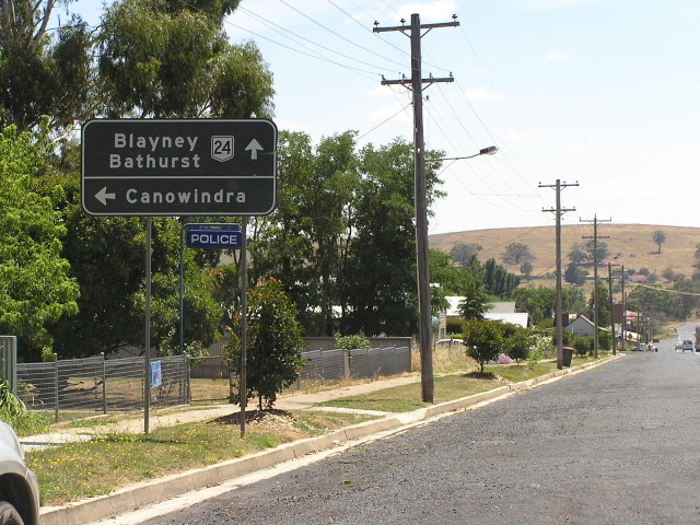
Very old black AD sign northbound on Lachlan Valley Way approaching the Mid Western Hwy. Note no mention of SR81 which turns right, following the "Canowindra" focal point. Also note the wooden sign structure - something rarely seen in NSW. Jan 2006. |
 |
Another old black AD sign, this time northbound on Olympic Highway approaching the Mid Western Hwy. Jan 2006. |
 |
Another remnant black sign, this time eastbound approaching the Olympic Hwy/Lachlan Valley Way junctions in Cowra. This one will probably be replaced soon as the top left corner of it is strangely missing. Jan 2006. |
 |
Westbound AD sign approaching the junction with Lachlan Valley Way, 6km west of Cowra. Jan 2006. |
 |
Dodgy shieldless distance sign, heading east from Lachlan Valley Way. Jan 2006. |
 |
Dodgy shieldless distance sign, heading west from Lachlan Valley Way. Jan 2006. |
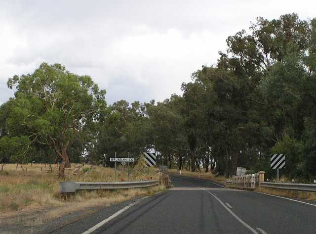 |
Looking east across Brundah Creek, just about the most exciting scene for 55km between Cowra and Grenfell. Feb 2006. |
 |
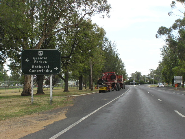
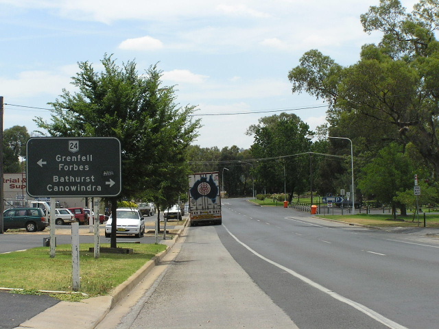
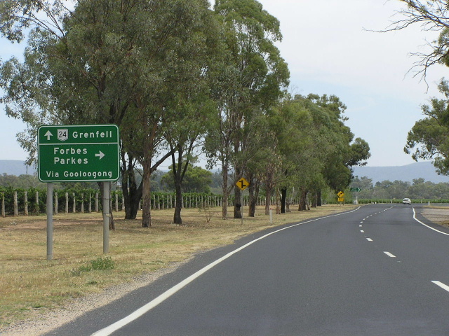
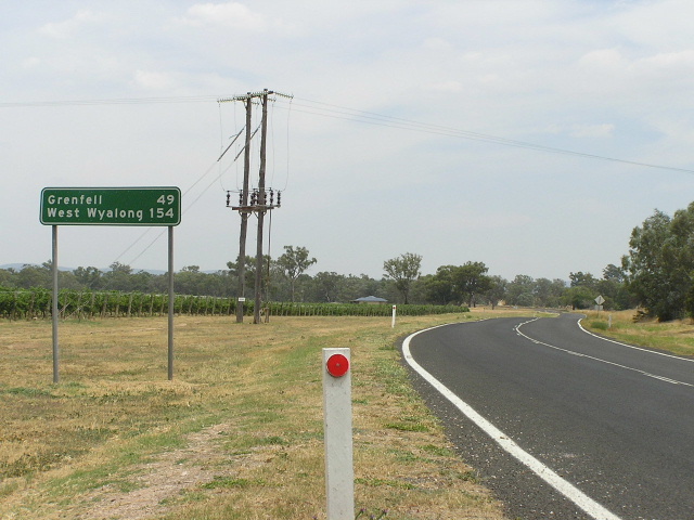
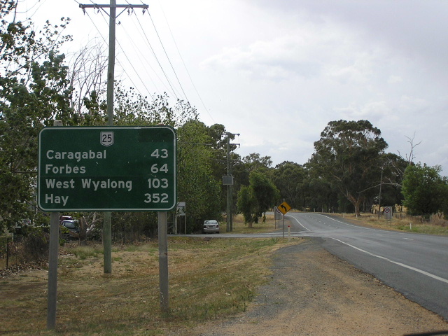
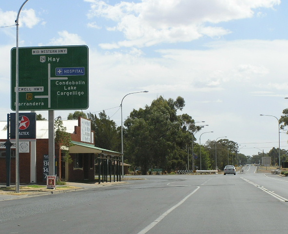
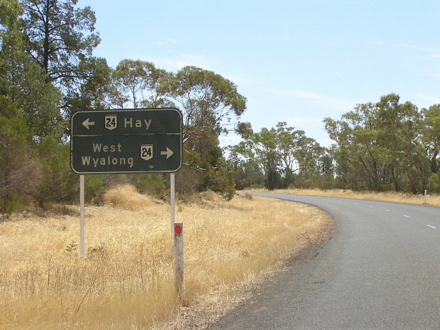
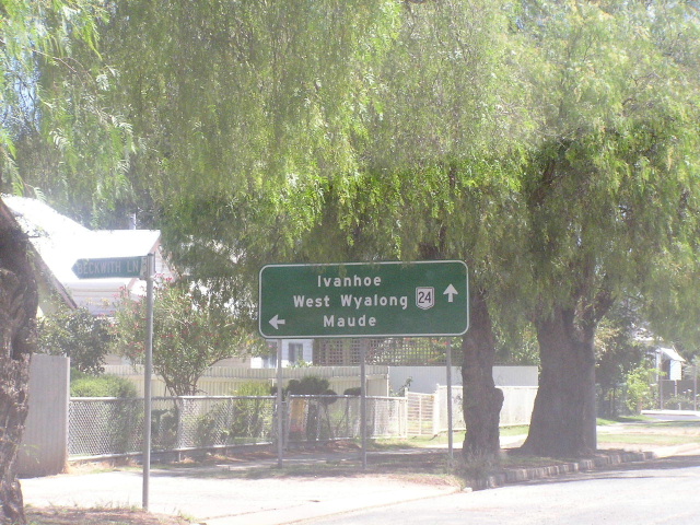
Distance sign heading east from Grenfell, missing a NR24 shield. Feb 2006. |
 |
Poorly-designed roundabout diagrammatic AD sign northbound on Henry Lawson Way (Weddin St) approaching Mid Western Hwy at Grenfell. Feb 2006. |
 |
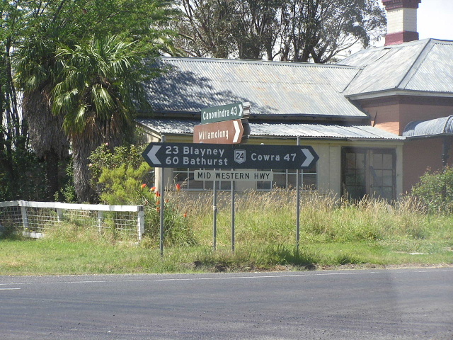
Another poorly-designed sign, most probably an awful attempt at copying a very old DMR design (judging by the road name not having a patch + no road name for the Canowindra turnoff) westbound on Mid Western Hwy approaching Forbes St in Grenfell. Feb 2006. |
 |
Hmm...what can i say about this attempt at designing a sign? Not much, looks like a starnge hybrid of a stack AD sign and a chevron ID sign. Mid Western Hwy/Forbes St intersection, Grenfell. Feb 2006. |
 |
What a surprise - another dodgy sign in Grenfell! This one is on Mary Gilmore Way (Camp St) approaching Mid Western Hwy. Note the Victorian-style alignment of the focal points to the left/right, and the afterthought of including "Young" on the sign. All round a poor effort! Feb 2006. |
 |
Looking north along Main Street in Grenfell - this was probably once part of the Mid Western Highway. Feb 2006. |
 |
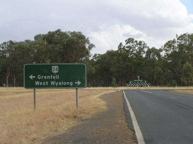
To top it all off we have this sign heading west, leaving Grenfell. The shield should say NR24, not NR25. Feb 2006. |
 |
AD sign southbound on Henry Lawson Way approaching Mid Western Hwy at Bogolong. Feb 2006. |
 |
What is probably a copy of an old DMR AD sign, eastbound on Mid Western Hwy approaching Henry Lawson Way. Feb 2006. |
 |
Dodgy fingerboard signage at Sandy Creek Rd, Piney Range. Feb 2006. |
 |
Ah now this is the good stuff! Perfectly designed, black DMR fingerboard sign at Driftway Road. Feb 2006. |
 |
Looking east through the tiny "town" of Caragabal. Feb 2006. |
 |
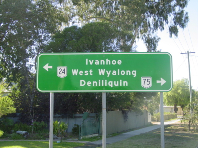
Poorly-designed distance sign with an incorrect SR24 shield heading east from Newell Highway at Marsden. Feb 2006. |
 |
AD sign eastbound on Newell Hwy approaching the junction with Mid Western Hwy at Marsden. Note the incorrect SR24 shield. Feb 2006. |
 |
Feral-looking distance sign heading west from Marsden along Newell Highway (NR24/NH39 duplex). Note again the incorrect SR24 shield. Feb 2006. |
 |
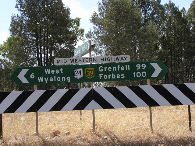
Being, until January 1993, part of the Mid Western Highway, the Marsden-West Wyalong section of Newell Highway not only has kilometre plates for Forbes (Newell Hwy focal point) but for Grenfel as well (Mid Western Hwy focal point). Here is an example of one, midway between Wyalong and Marsden. Feb 2006. |
 |
Remnant 1980s Mid Western Highway name plate on a fingerboard sign at the Quandialla turnoff, just east of Wyalong. The sign should now say "Newell Highway" - at least they got the shields right this time! Feb 2006. |
 |
Northbound AD sign on State Route 85, approaching Newell Highway at Wyalong. Note the lack of a NH39 shield left. Feb 2006. |
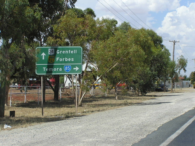 |
AD sign eastbound on Newell Hwy approaching the beginning of SR85 at Wyalong. Feb 2006. |
 |
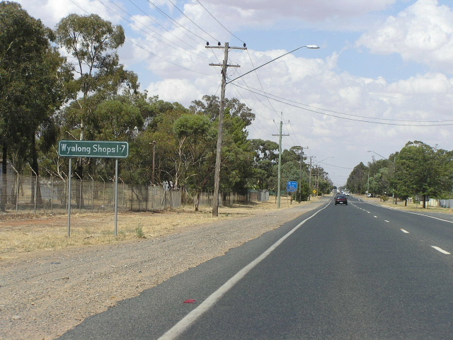
Distance sign heading west into Wyalong from State Route 85. Feb 2006. |
 |
Looking east through the tiny town of Wyalong. Feb 2006. |
 |
Unusual hand-painted distance sign, heading east from West Wyalong. Feb 2006. |
 |
Looking west through the main street of West Wyalong. Feb 2006. |
 |
Looking east into West Wyalong town centre. Feb 2006. |
 |
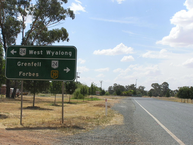
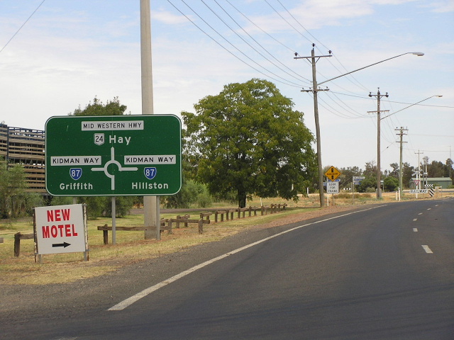
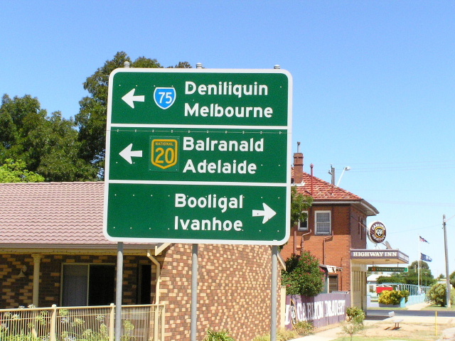
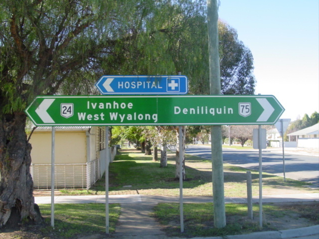
Diagrammatic AD sign heading west on Newell Hwy approaching the junction with Mid Western Hwy at West Wyalong. Feb 2006. |
 |
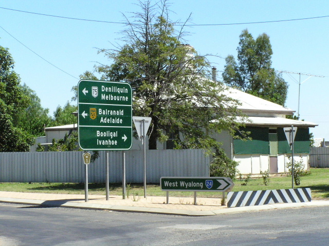
Distance sign heading east from the Mid Western Hwy junction into West Wyalong. Feb 2006. |
 |
Northbound Newell Highway approaching Mid Western Hwy at West Wyalong. Feb 2006. |
 |
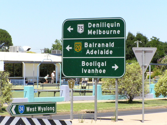
Mid Western Highway eastbound approaching Newell Hwy at West Wyalong. Feb 2006. |
 |
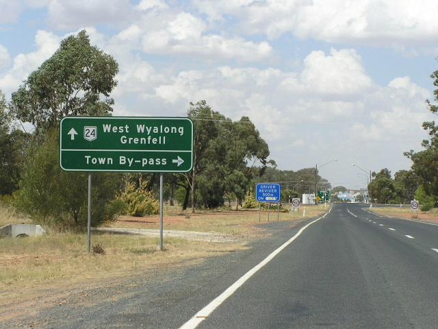
Very old and fading ID sign at the junction with the Town By-pass Road, West Wyalong. Feb 2006. |
 |
Looking east into West Wyalong. Feb 2006. |
 |
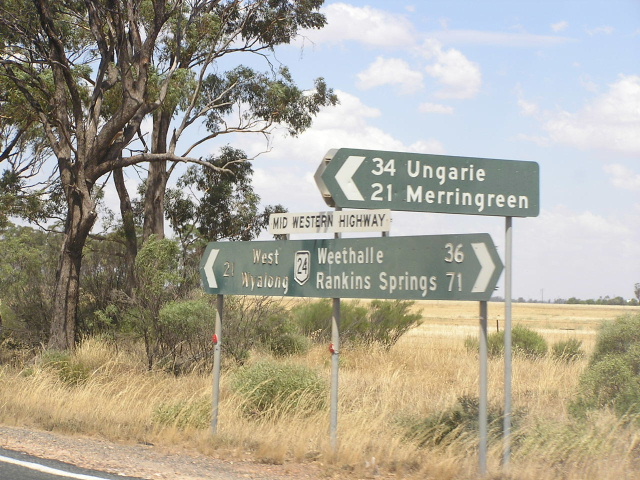
Distance sign, probably a few years younger than the ID sign depicted above, heading west from West Wyalong. Feb 2006. |
 |
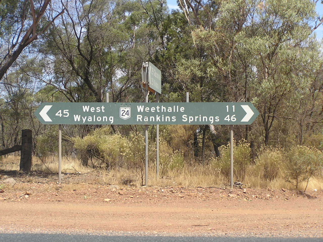
Great old black fingerboard sigh assembly 21km west of West Wyalong. Feb 2006. |
 |
Another black fingerboard assembly, this time 11km east of Weethalle. Feb 2006. |
 |
Typical view of the Mid Western Highway between West Wyalong and Weethalle - slightly narrow pavement, no edge markings and many a floodway. Feb 2006. |
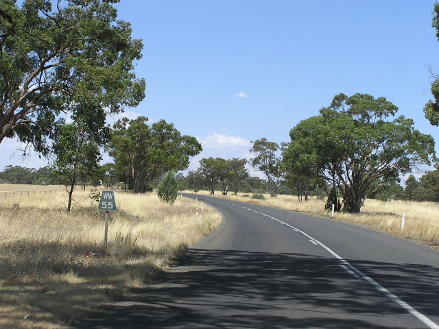 |
Black "WW55" kilometre plate, eastbound near Weethalle. Feb 2006. |
 |
Looking east through the tiny town of Weethalle. Feb 2006. |
 |
Black distance sign with a strangely off-centre NR24 shield, heading west from Weethalle. Its almost as if a second shield belongs next to the NR24! Feb 2006. |
 |
Non-standard service signage, eastbound 3km west of Weethalle. Feb 2006. |
 |
Looking east at the turnoff to Garoolgan, 13km west of Weethalle. This view is typical of the Mid Western Highway, west of Weethalle. Feb 2006. |
 |
Looking eas through red-earth country. Note the recent formation widening which has provided with unsealed, but usable road shoulders. Feb 2006. |
 |
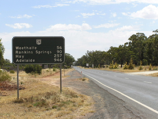
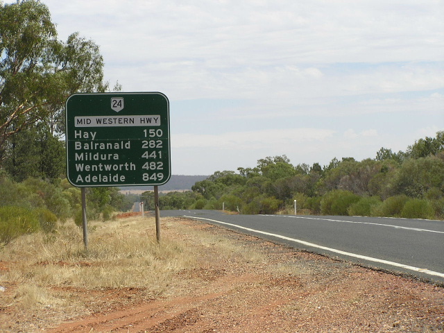
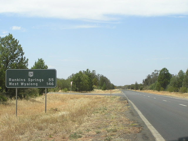
Distance sign (with coverplated distances!) heading east from Rankins Springs. Feb 2006. |
 |
Now isn't this a sight! An extremely faded black AD sign on the Rankin Springs-Lake Cargelligo road, approaching Mid Western Hwy at Rankins Springs. The white paint for the legend has faded/peeled off completely, leaving a strange contrast. I'm actually quite surprised that this sign is still in service, seeing as the distance sign across the road had been replaced! Feb 2006. |
 |
Looking east into Rankins Springs, with the closely-spaced turnoffs to Hillston and Lake Cargelligo in the distance. Feb 2006. |
 |
Looking east about 5km west of Rankins Springs, showing recent reconstruction and widening across a mountain range. Feb 2006. |
 |
About 2km further west, showing reconstruction and widening underway. And shhh.. I know I was speeding :-p Feb 2006. |
 |
Rest Area distance sign, heading east from John Oxley Rest Area 9km west of Rankins Springs. Feb 2006. |
 |
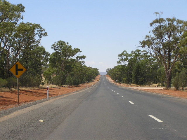
Typical road quality, looking east between Rankins Springs and the Griffith turnoff. Feb 2006. |
 |
Very old and faded NR24 stack AD sign on the Griffith-Rankins Springs road approaching Mid Western Hwy. Feb 2006. |
 |
Distance sign heading west from the Griffith-Rankins Springs road. Note the drop in road quality beyond the sign. Feb 2006. |
 |
Recent pavement widening and shoulder sealing between Rankins Springs and Goolgowi. Feb 2006. |
 |
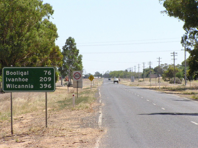
A very typical view from one of a number of small crests between Goolgowi and Rankins Speings. Its a shame there's nothing to see from the top of the hill! Feb 2006. |
 |
Black distance sign with minimal focal points heading east from Goolgowi. Feb 2006. |
 |
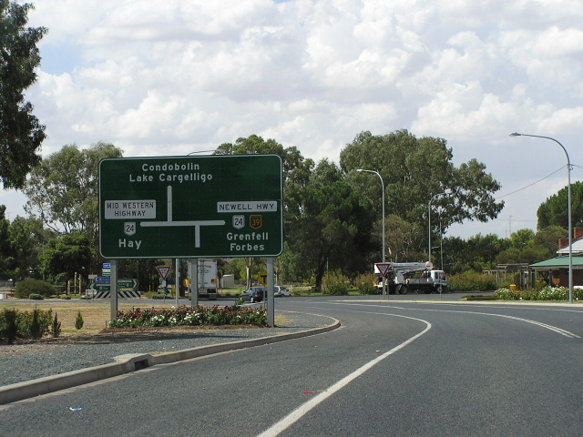
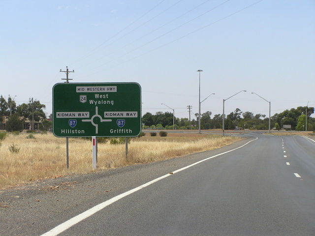
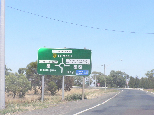
Westbound AD sign for the Kidman Way junction at Goolgowi. Feb 2006. |
 |
Eastbound AD sign for the Kidman Way junction at Goolgowi. Feb 2006. |
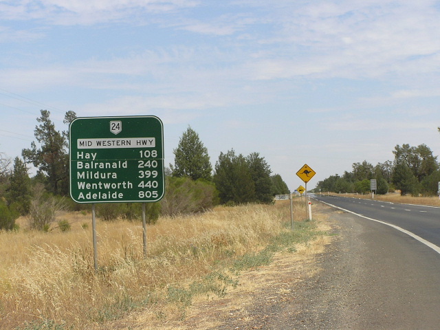 |
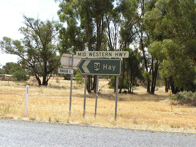
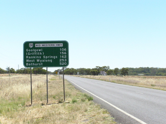
Distance sign heading west from Goolgowi. Feb 2006. |
Western Terminus: Cobb Highway, Hay |
|
 |
Northbound on Cobb Hwy approaching the northern terminus of NR24. Photo taken Jan 2004. |
 |
Westbound on the Mid Western Hwy as it approaches the Cobb Hwy. Note the incorrect SR75 shield (should be NR75) and the coverplate with NH20 on it. My guess is a SR20 shield was under the coverplate. Photo taken Jan 2004. |
 |
Southbound on Cobb Hwy, this sign shows all route numbers correctly (thank god!). Photo taken Jan 2004. |
 |
Signs at the intersection gore. Note the incorrect SR24 shield and the NH20 which is on a coverplate. Photo taken Jan 2004. |
 |
Same location, different perspective. Photo taken Jan 2004. |
 |
ID signs, again with the incorrect SR24 shield. Photo taken Jan 2004. |
 |
Same sign assembly, this time facing south. Again with the incorrect sheild. Photo taken Jan 2004. |
 |
Northbound RD sign on the Cobb Hwy leaving Hay. Note the absence of a NR75 shield (or a highway name for that matter). Photo taken Jan 2004. |
 |
The first distance sign eastbound leaving Hay. Photo taken Jan 2004. |
Additional National Route 24 shields in Hay |
|
 |
Northbound Cobb Hwy at Cadell St in Hay. One of the several NR24 shields placed off the actual route. Photo taken Jan 2004. |
 |
Eastbound Cadell St at Cobb Hwy, Hay. No mention of NR75 to the left, althoug this is consistant with the rest of the route. Photo taken Jan 2004. |
 |
ID sign at Cobb Hwy/Cadell St, Hay. Photo taken Jan 2004. |
 |
Westbound Sturt Hwy (NH20) approaching the Cobb Hwy (NR75) roundabout in South Hay. Note the use of a duplexed name and number for the right turn. Although technically incorrect, it does aid navigation between NR24 and NH20. Photo taken Jan 2004. |
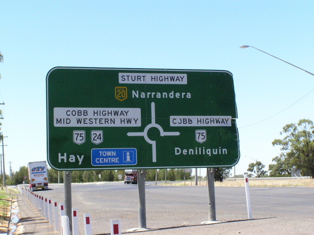 |
Sturt Hwy in South Hay again, this time eastbound. Note the duplex for the left turn. Photo taken Jan 2004. |
 |
Cobb Hwy this time, northboudn approaching the Sturt Hwy in South Hay. Again note the duplex between NR75/24. Photo taken Jan 2004. |
 |
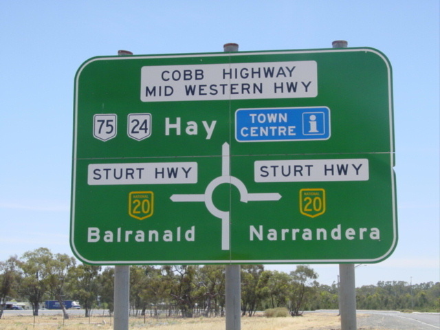
Roundabout ID's showing the two highways and routes side-by-side. In this instance a 'To' prefix would work well. Photo taken Jan 2004. |
 |
National Route 24/75 duplex on a distance sign heading north from the Sturt Hwy roundabout. Photo taken January 2004. |
Photos of Mid Western Hwy's former alignment between Wentworth & Renmark |
|
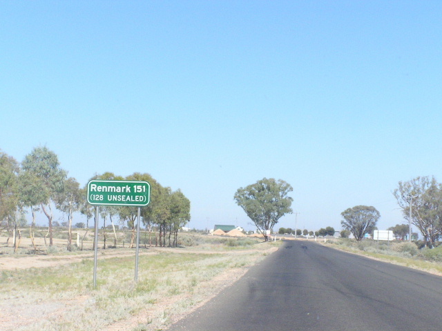 |
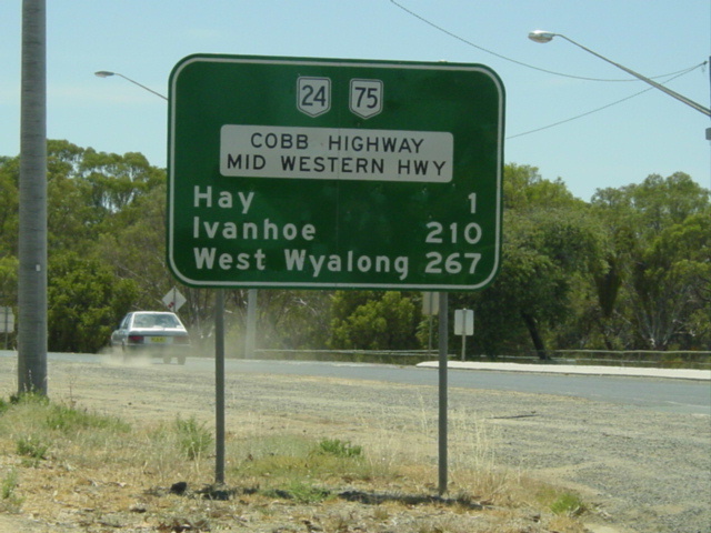
Interesting RD sign heading west from the Silver City Hwy at Wentworth. You can see with so many kilometres of unsealed road why this is no longer a highway. Photo taken January 2004. |
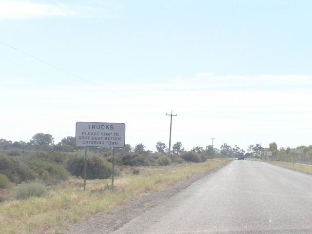 |
Heading towards Wentworth, interesting sign. Photo taken January 2004. |
Last updated 13 December 2012 © Ozroads 2003-2012. |