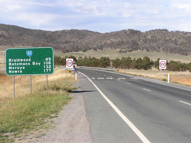
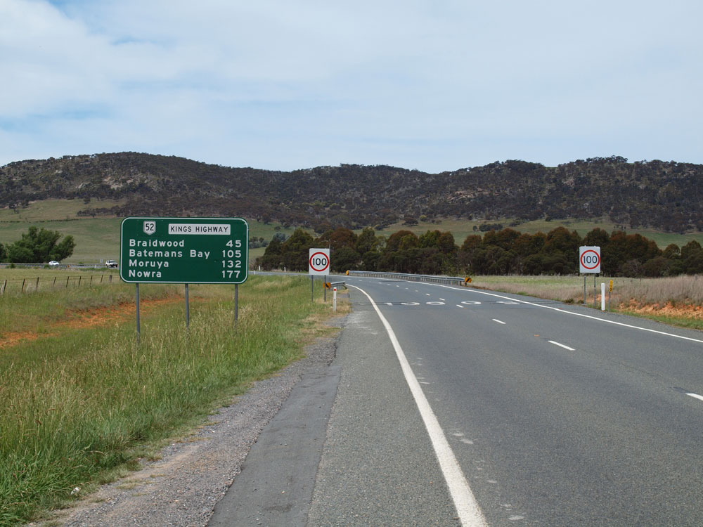
National Route 52 Canberra - Queanbeyan - Batemans Bay |
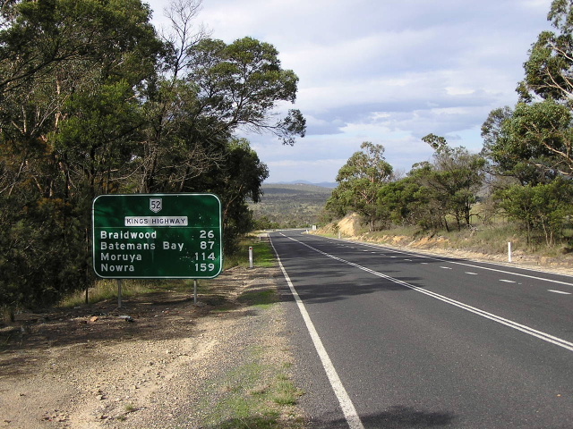
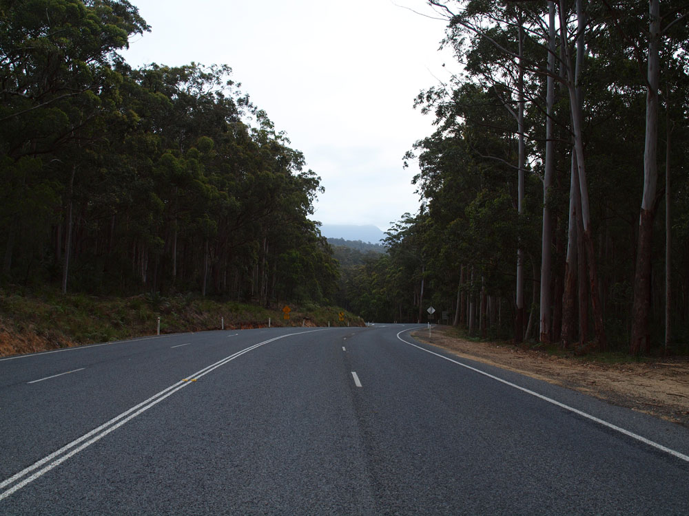
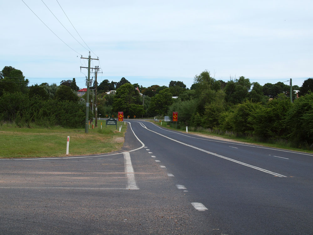
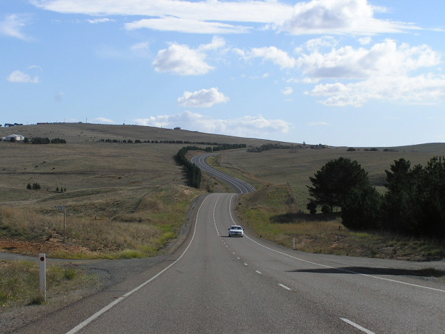
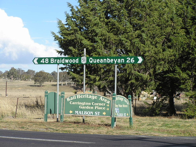
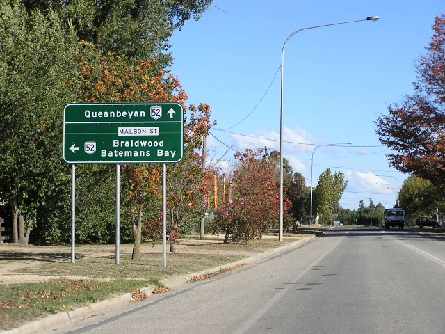
Heading east from the Goulburn-Braidwood Rd junction, 26km north of Braidwood. April 2005.
In 2013, RMS will be implementing a new alpha-numeric route numbering system. For more information, visit the RMS Website. |
|
Forthcoming alpha-numeric route number: |
|
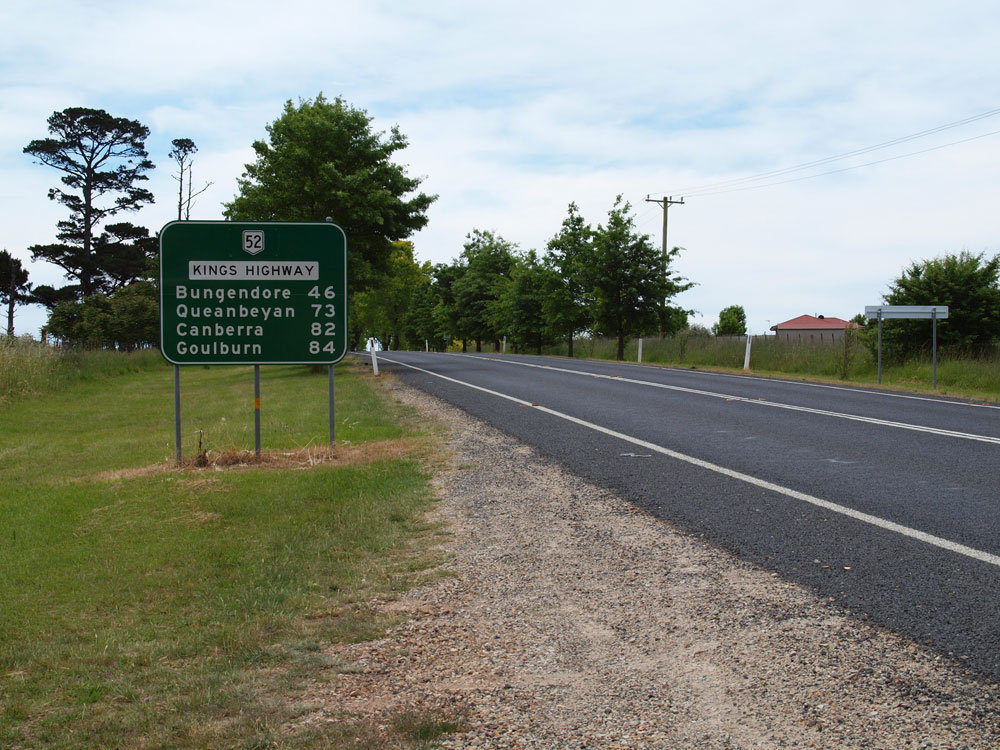
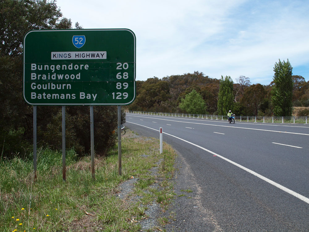
Length: 134km
Eastern Terminus: Princes Hwy, Surfside
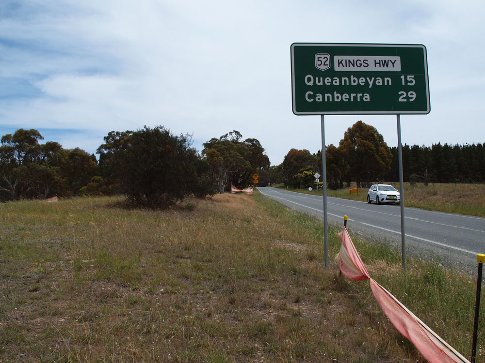
Western Terminus: Monaro Hwy & Canberra Ave, Fyshwick
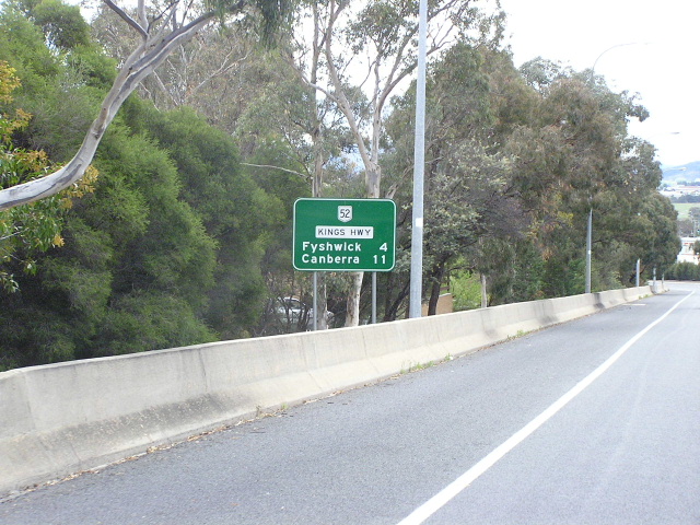
Route taken: Kings Hwy, Canberra Ave
Focal Points: Batemans Bay, Braidwood, Queanbeyan, Canberra
Roads Act 1993 classification (NSW sections): Main Road No. 51
Route Introduced: 1974
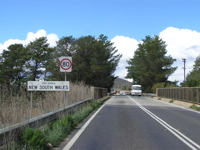
National Route 52, the Kings Highway, is an east-west artery connecting Batemans Bay, the Princes Highway and New South Wales south coast with the southern tablelands and capital country. The Highway ascends the coastal escarpment by way of Clyde Mountain, a route first opened up in the latter half of the nineteenth century. Once on the tablelands the Kings Highway passes through rolling hillsides and undulating farmland, briefly entering the Australian Capital Territory near Bungedore before entering it permanently near Queanbeyan. After crossing the Molonglo River on a two-lane bridge in Queanbeyan NR52 becomes high-standard dual carriageway for the remainder of its journey. The Kings Highway becomes Canberra Ave at the NSW/ACT Border and National Route 52 follows Canberra Ave, terminating at its junction with the Monaro Highway at Fyshwick.
The road name "Kings Highway" is not an officially gazetted name, but is signed as part of an informal agreement between Councils and the RTA. This explains the use of local street names on directional signs within Braidwood and Bungedore.
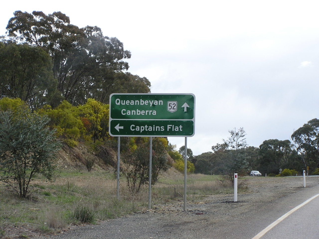
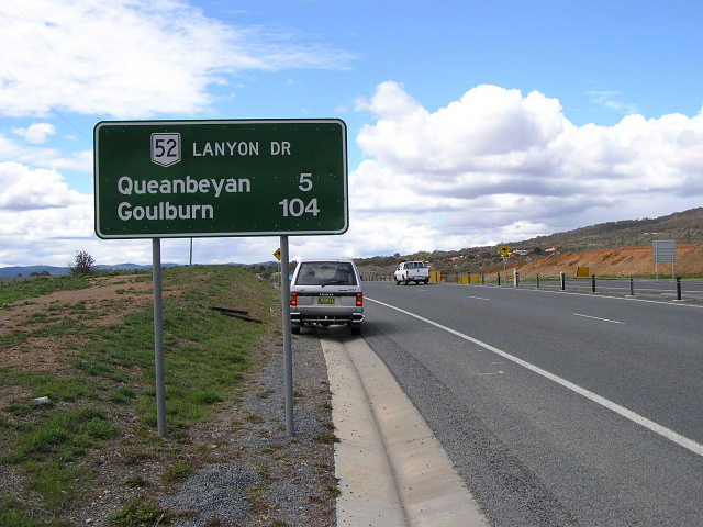
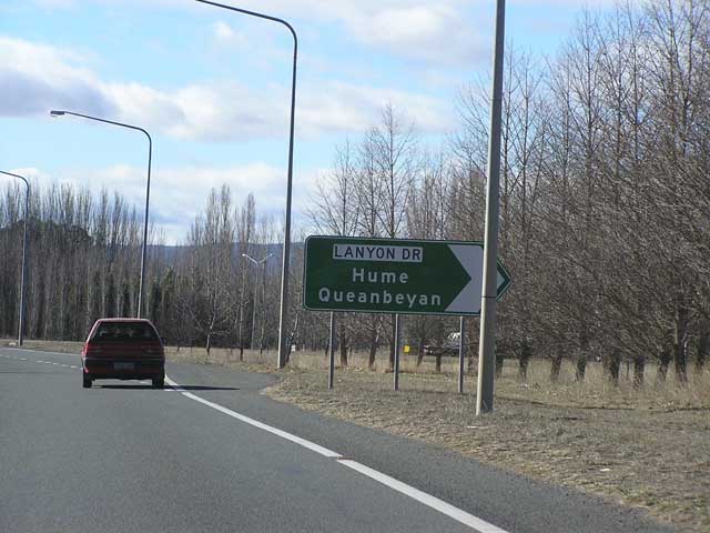
The western terminus of National Route 52 has been the subject of much conjecture. Signage found on Laynon Drive (Queanbeyan-Hume road) in both NSW and ACT, at Tomspitt Drive and Sheppard St, indicates that Lanyon Drive is National Route 52. However, I have come to conclusion that National Route 52 follows the Kings Highway and Canberra Ave, terminating at the junction of Monaro Highway and Canberra Ave at Fyshwick, ACT. This conclusion is based on the following evidence:
- Signage at the Kings Hwy/Lanyon Drive junction shows NR52 continuing along the Kings Hwy towards Canberra
- Standard green on-reflective fingerboard signage indicates that NR52 continues towards Canberra
- Very old, black painted ACT signage indicates NR52 along Canberra Ave
- The Kings Highway, which NR52 follows for the most part, transitions directly into Canberra Ave at the NSW/ACT border
- Lanyon Drive is not a state-controlled road
- The logical terminus of a National Route is at another National Route
Major construction work was undertaken to improve the highway east of Braidwood in the 1950s, including widening of the Clyde Mountain section and extensive timber bridge replacements. A large concrete bridge over the Clyde River at Nelligen was opened in December 1964, repalcing a ferry service, and a high-level pre-stressed concrete bridge replaced a narrow timber truss bridge (Warri Bridge), built in 1892, across the Shoalhaven River west of Braidwood.
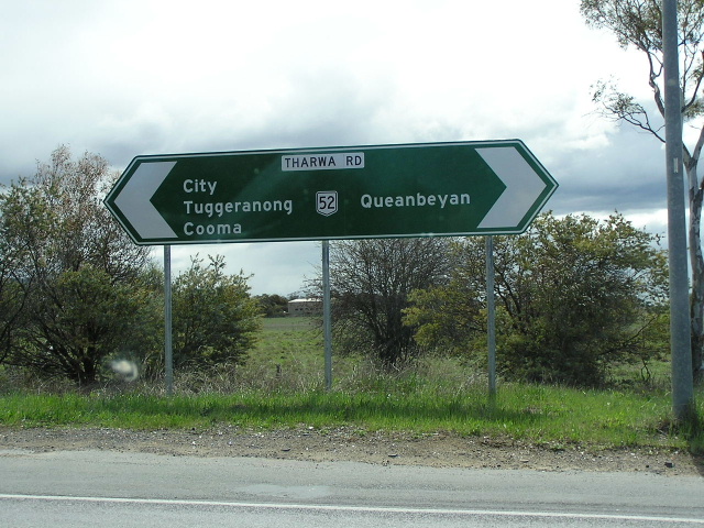
At Queanbeyan the replacement of the original alignment via Crawford St, North Rd, Uriarra Rd and Norse Rd was commenced in the mid-1970s. A new railway overpass on the NSW/ACT Border was opened to traffic in May 1977 and April 1982 the dual carriageway deviation was completed, between the railway overpass and Ross Road. This deviation also included the northern section of Lanyon Drive (former route Tharwa Road).
List of Notable Events:
Dec 64 - Bridge over Clyde River, Nelligen
1974 - National Route 52 introduced
Nov 76 - Warri Bridge over Shoalhaven River
May 77 - Canberra Ave (formerly Commonwealth Ave) Railway Bridge
April 1982 - Ross Rd to Railway Bridge Deviation (former route Uriarra/Norse Rd)
Photos of National Route 52 |
|
 |
Southbound on the Princes Highway approaching the beginning of NR52 at Surfside, near Batemans Bay. April 2005. |
 |
Kings Hwy looking east at its eastern terminus, the junction with the Princes Hwy. April 2005. |
 |
First westbound RD sign on the highway leaving Surfside. April 2005. |
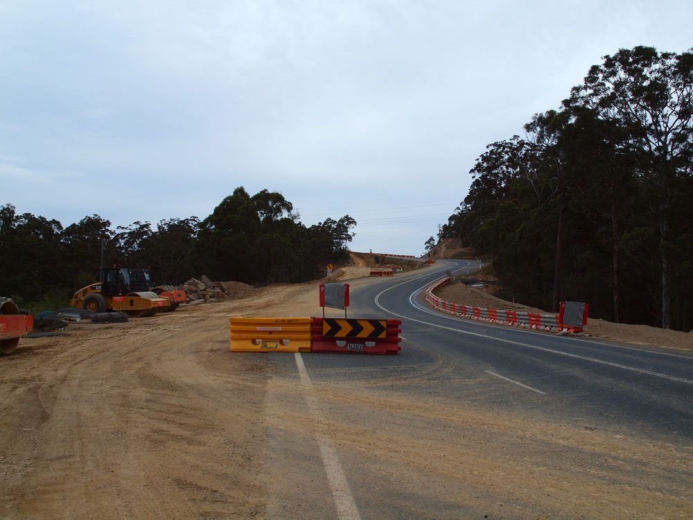 |
Looking east from the junction with Rotary Drive as the highway winds it away across the ridge separating Nelligen and Batemans Bay. As you can see, reconstruction work is underway to improve the horizontal and vertical alignment of this section. Source: Peter Renshaw, November 2011. |
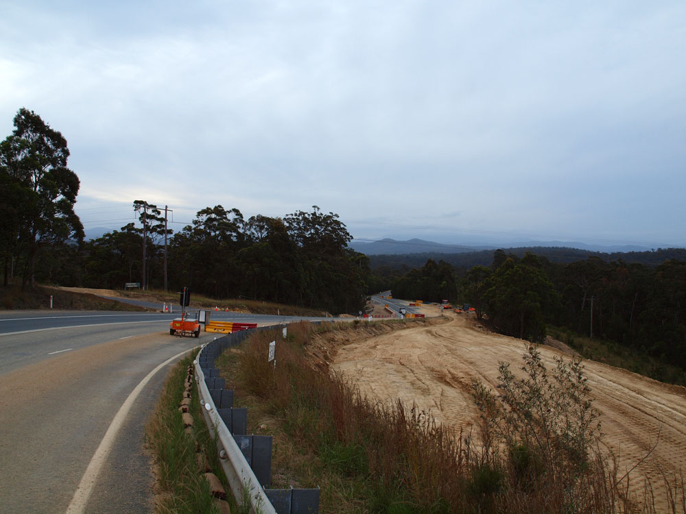 |
Kings Highway looking west at the junction with Rotary Drive, 2.5km west of Princes Highway. The formation below the current roadway is being prepared for the realignment of this section. Source: Peter Renshaw, November 2011. |
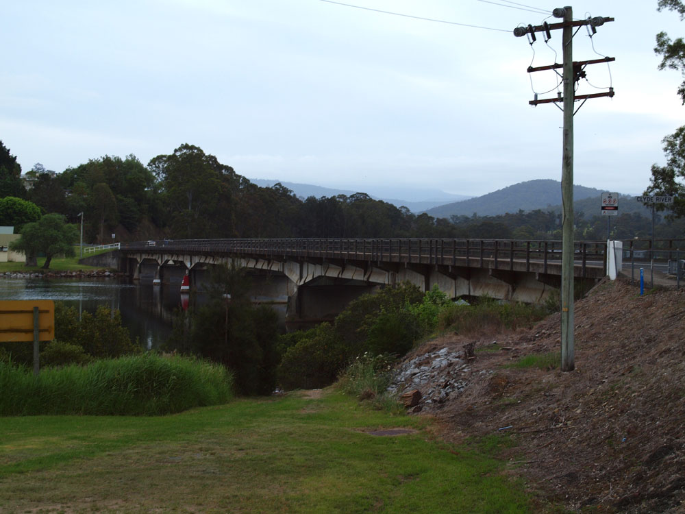 |
A westerly view of the bridge over the Clyde River at Nelligen, constructed in 1964 to replace a vehicular ferry. Source: Peter Renshaw, November 2011. |
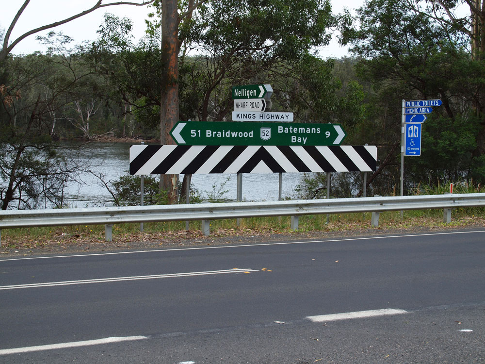 |
Fingerboard signs at the junction of Kings Highway & Wharf Road, Nelligen. Source: Peter Renshaw, November 2011. |
 |
Kings Highway looking west from Wharf Road at Nelligen with the Clyde River on the right. Source: Peter Renshaw, November 2011. |
 |
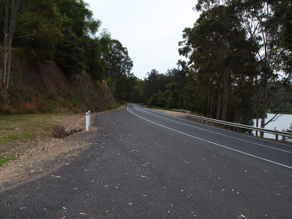
Kings Highway looking east from the junction with River Road, 12km west of Batemans Bay. You can see the 'Nelligen' sign in the background. Source: Peter Renshaw, November 2011. |
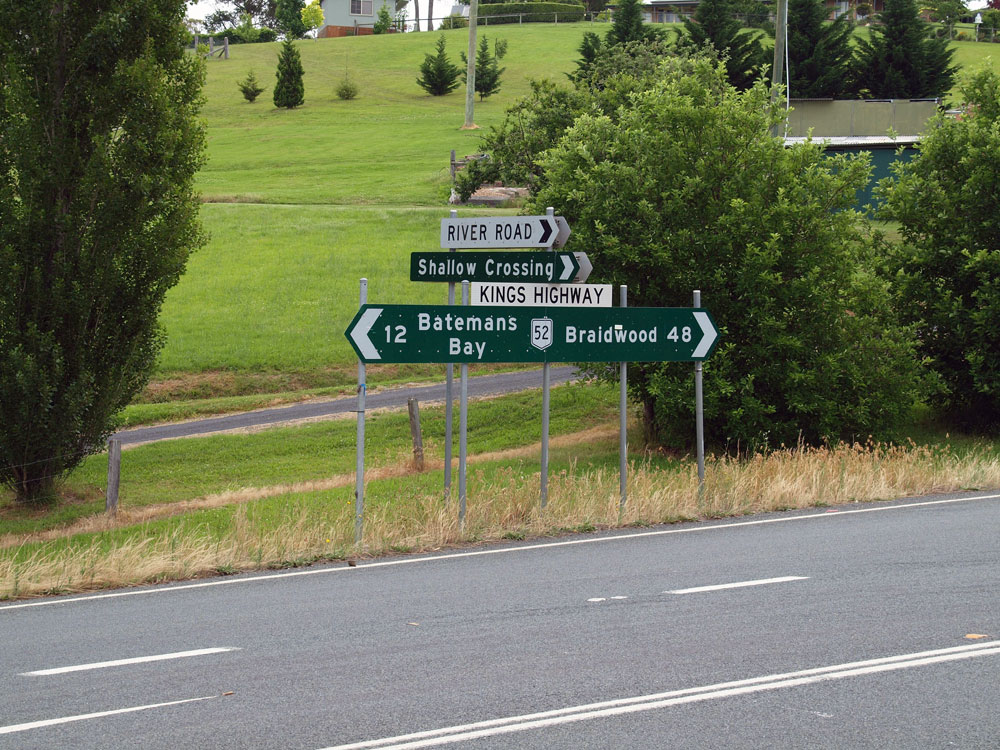 |
Fingerboard signs at the junction of Kings Highway & River Road, 12km west of Batemans Bay. Source: Peter Renshaw, November 2011. |
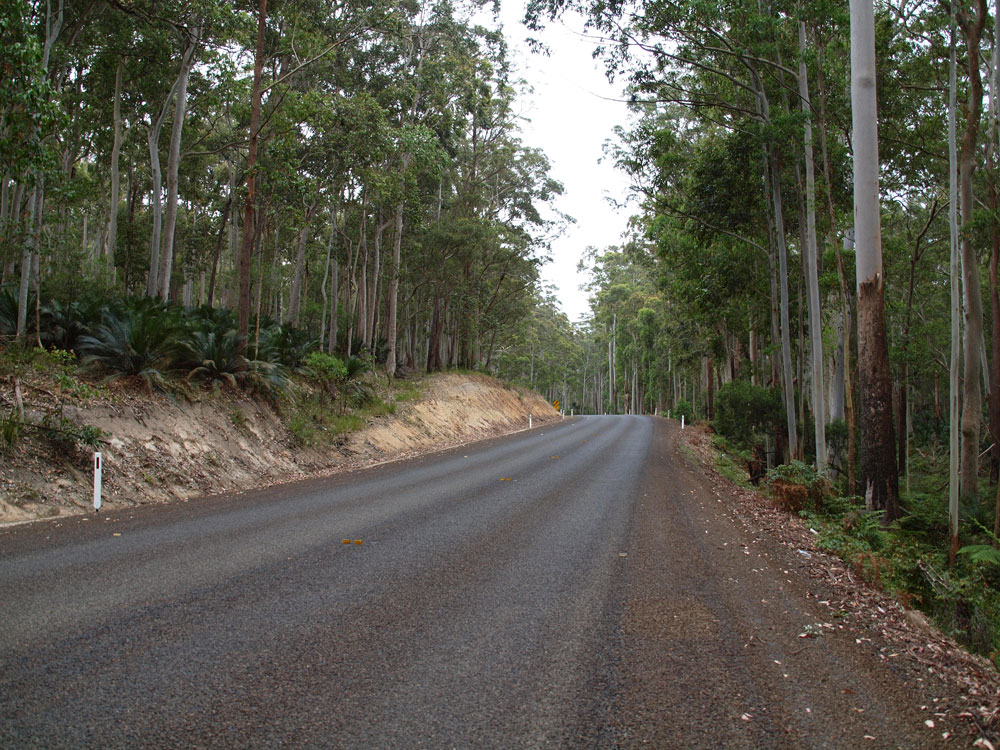 |
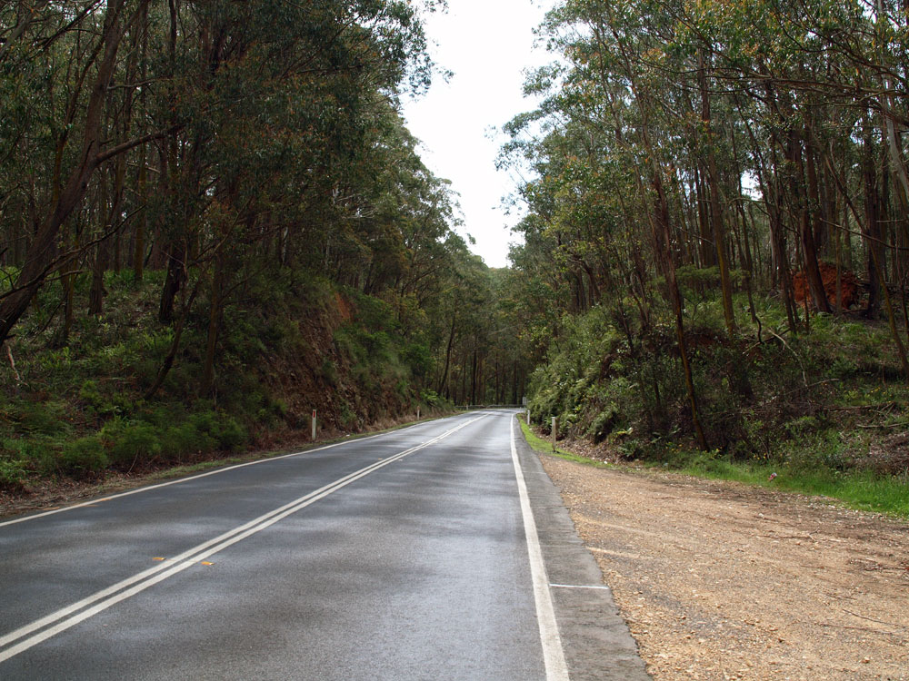
Freshly resurfaced section of Kings Highway through the forest approximately 3km west of Nelligen. Source: Peter Renshaw, November 2011. |
 |
Short section with overtaking lanes in both directions as you start climbing towards Clyde Mountain. Source: Peter Renshaw, November 2011. |
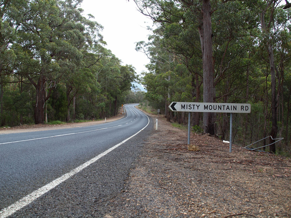 |
Kings Highway looking west at Misty Mountain Road, 29km west of Batemans Bay. Source: Peter Renshaw, November 2011. |
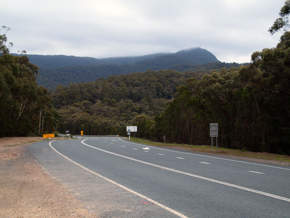 |
A westerly view towards Clyde Mountain, 32km west of Batemans Bay. Source: Peter Renshaw, November 2011. |
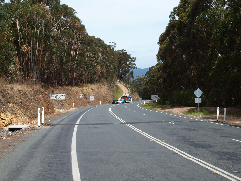 |
Kings Highway looking east on the main ascent of Clyde Mountain, 35km west of Batemans Bay. Note the truck, queued traffic and safety ramp. Source: Peter Renshaw, November 2011. |
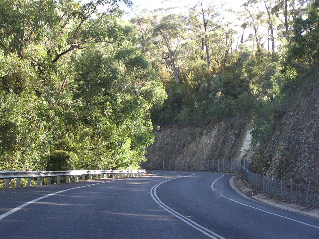 |
Looking west on the ascent of the coastal escarpment at Clyde Mountain, 34km west of Batemans Bay. Note the fencing to keep falling rocks from reaching the carriageway. Photo taken: April 2005. |
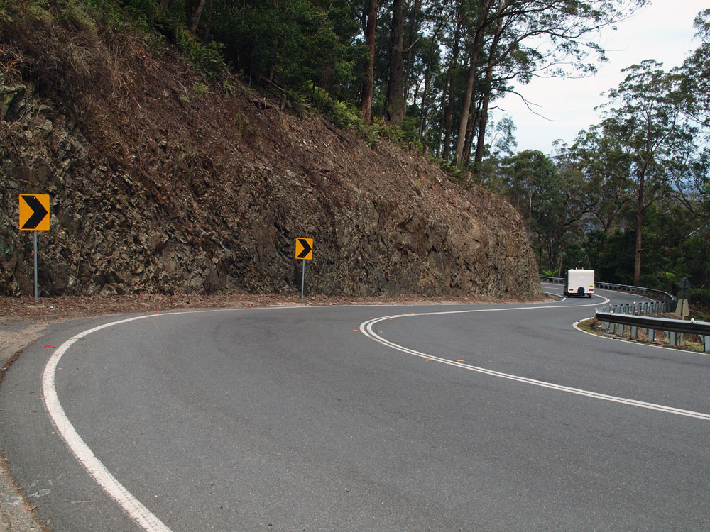 |
Looking east from the infamous Pooh's Corner on Clyde Mountain, 36km west of Batemans Bay. Source: Peter Renshaw, November 2011. |
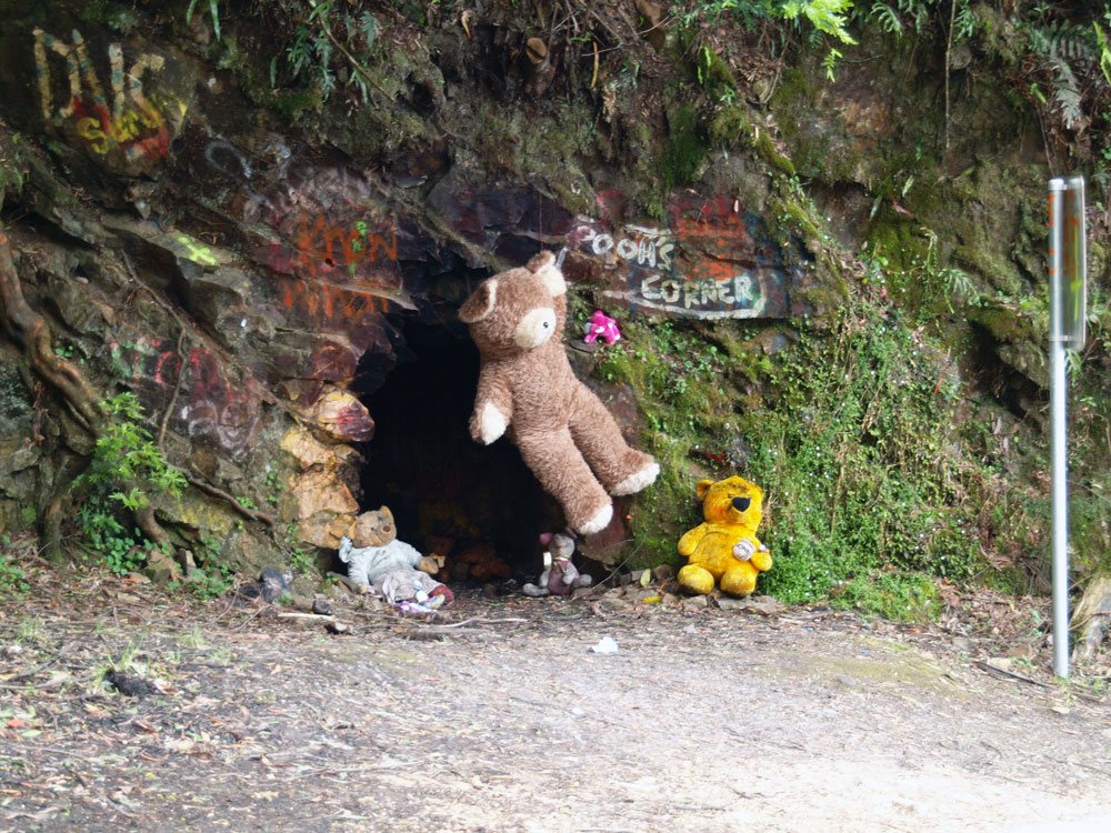 |
The reason it's called Pooh's Corner is this unusual little cave adorned with graffiti and teddy bears, located on the outside of one of the bends. Source: Peter Renshaw, November 2011. |
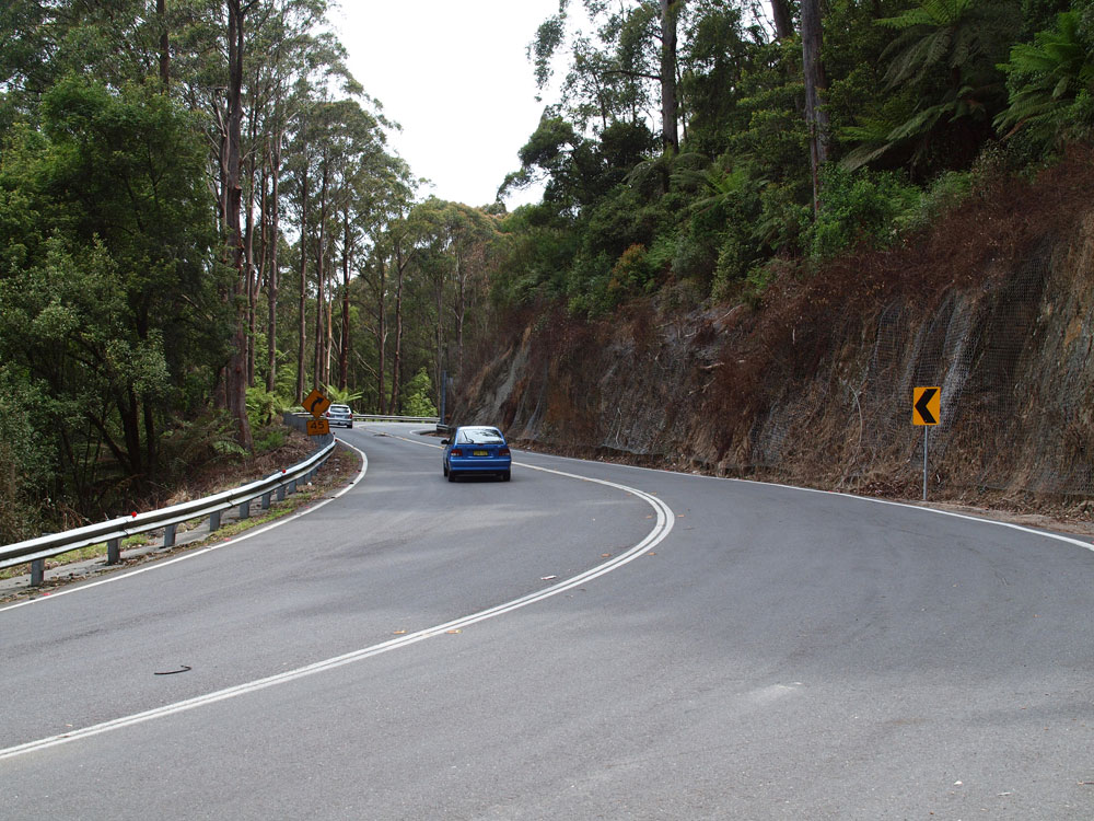 |
Looking west from Pooh's Corner as you ascend Clyde Mountain. Source: Peter Renshaw, November 2011. |
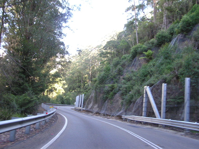 |
Another westbound view of the ascent, about 300m west of Pooh Corner. Note the wire fencing to try and protect the road from falling rocks. Photo taken: April 2005. |
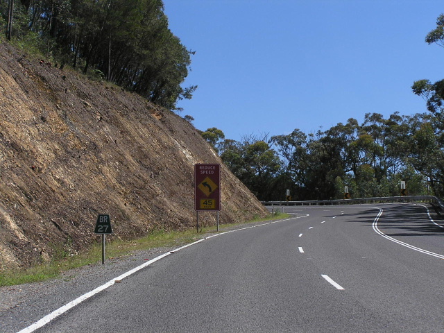 |
Looking west near the top of Clyde Mountain, showing downhill overtaking lane and "BR27" kilometre plate, 37km west of Batemans Bay. These kilometre plates are placed every 1km on the Clyde Mountain section of Kings Highway. Photo taken: February 2006. |
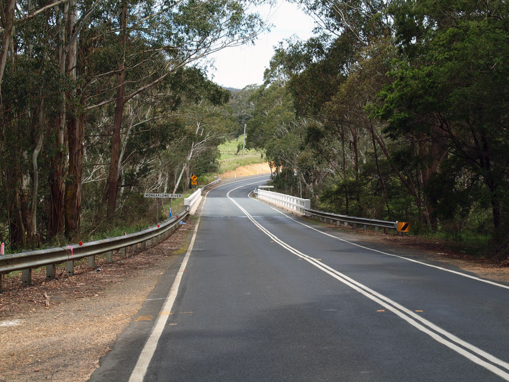 |
Kings Highway looking east across the Mongarlowe River, 44km west of Batemans Bay. This bridge was one of many built as part of the complete reconstruction of this road in the 1950s and 1960s. Source: Peter Renshaw, November 2011. |
 |
Looking west from the Mongarlowe River through the deep cutting on the western approach to the bridge. Source: Peter Renshaw, November 2011. |
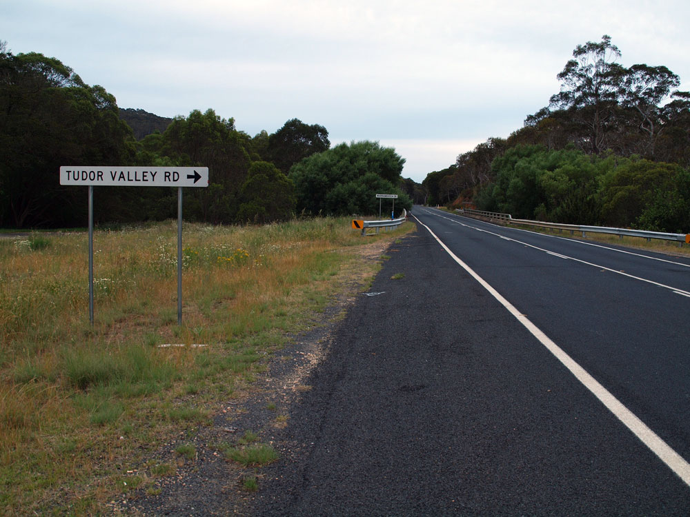 |
Kings Highway looking east towards the bridge over Warrambucca Creek and the junction with Tudor Valley Road, 50km west of Batemans Bay. Source: Peter Renshaw, November 2011. |
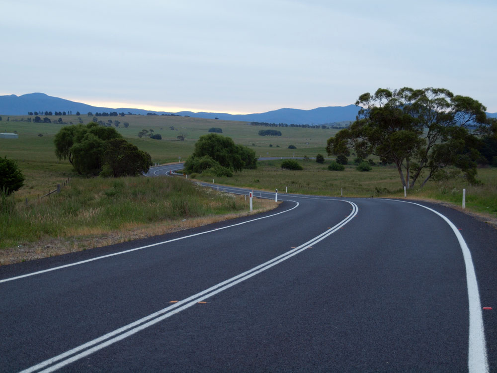 |
A westerly, late afternoon view of Kings Highway as it winds its way towards Braidwood, 51km west of Batemans Bay. Source: Peter Renshaw, November 2011. |
  |
Old and new RD signs eastbound on Kings Highway on the southeastern outskirts of Braidwood. Just about the only difference is the new one comes with a B52 route marker beneath the coverplate. Top photo: April 2005. Bottom photo: Peter Renshaw, November 2011. |
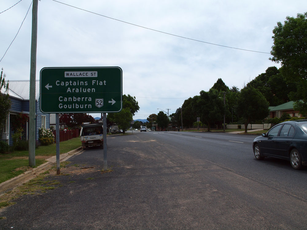 |
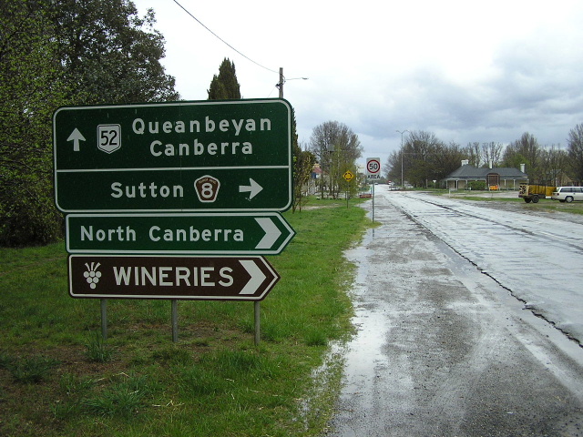
AD sign eastbound on Lascelles Street (Kings Highway) approaching the junction with Wallace Street, Braidwood. National Route 52 turns right here to head north along the main street of Braidwood. Source: Peter Renshaw, November 2011. |
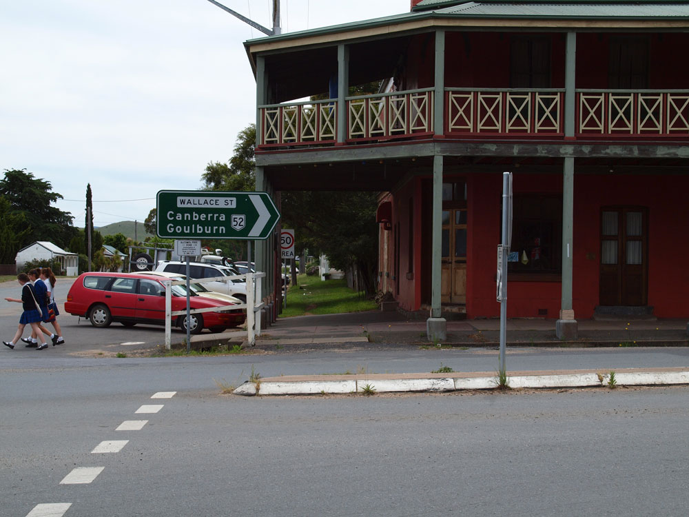  |
ID signs at the junction of Wallace & Lascelles Streets, Braidwood. Note the use of the local street names on these signs rather than the 'Kings Highway' name, which is consistent through both Braidwood and Bungendore. Source: Peter Renshaw, November 2011. |
 |
Facepalm! AD sign southbound on Wallace Street approaching Lascelles Street, Braidwood. Note the incorrect NR51 shield - it should, of course, be NR52! Source: Peter Renshaw, November 2011. |
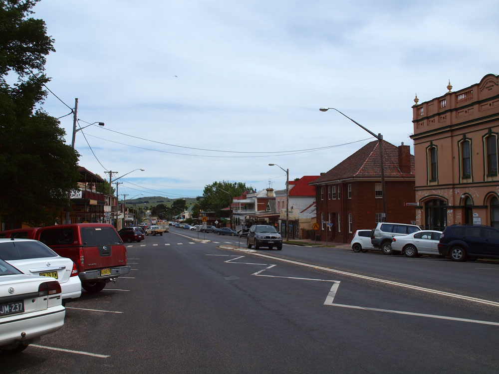 |
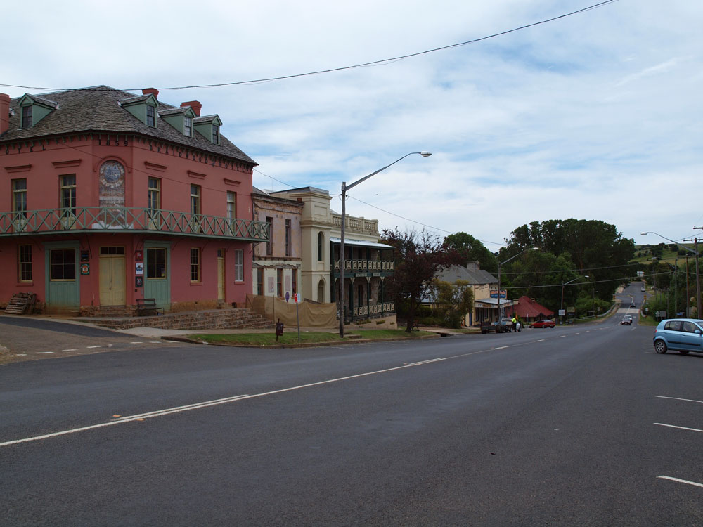
Looking south along Wallace Street, the main street of Braidwood. Braidwood has preserved its heritage quite well and has some fantastic old buildings. Source: Peter Renshaw, November 2011. |
 |
Looking north along Wallace Street at the northern end of town. NR52 crosses Gillmatong Creek at the bridge on the background before turning left to head towards Canberra. Source: Peter Renshaw, November 2011. |
 |
Dodgy ID sign, missing the NR52 shield, at the northern end of Wallace Street, Braidwood. Source: Peter Renshaw, November 2011. |
 |
Kings Highway looking southeast from the junction with Nerriga Road, showing the first of two sharp bends on the northern approach to Braidwood. Source: Peter Renshaw, November 2011. |
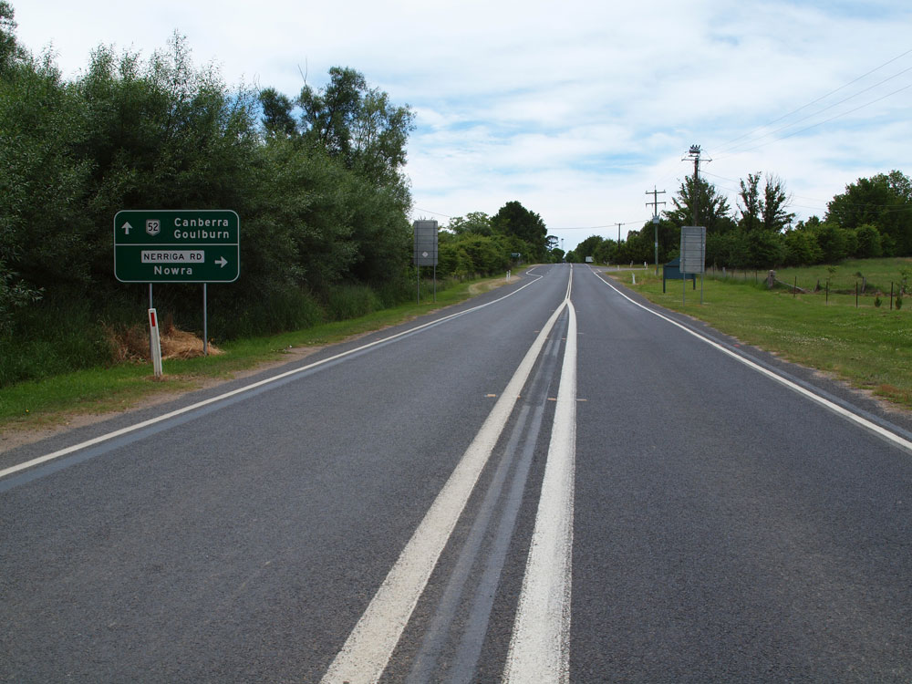 |
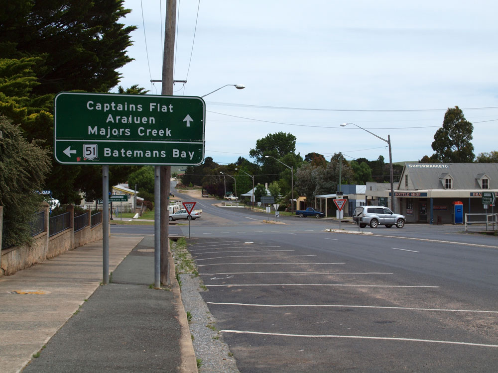
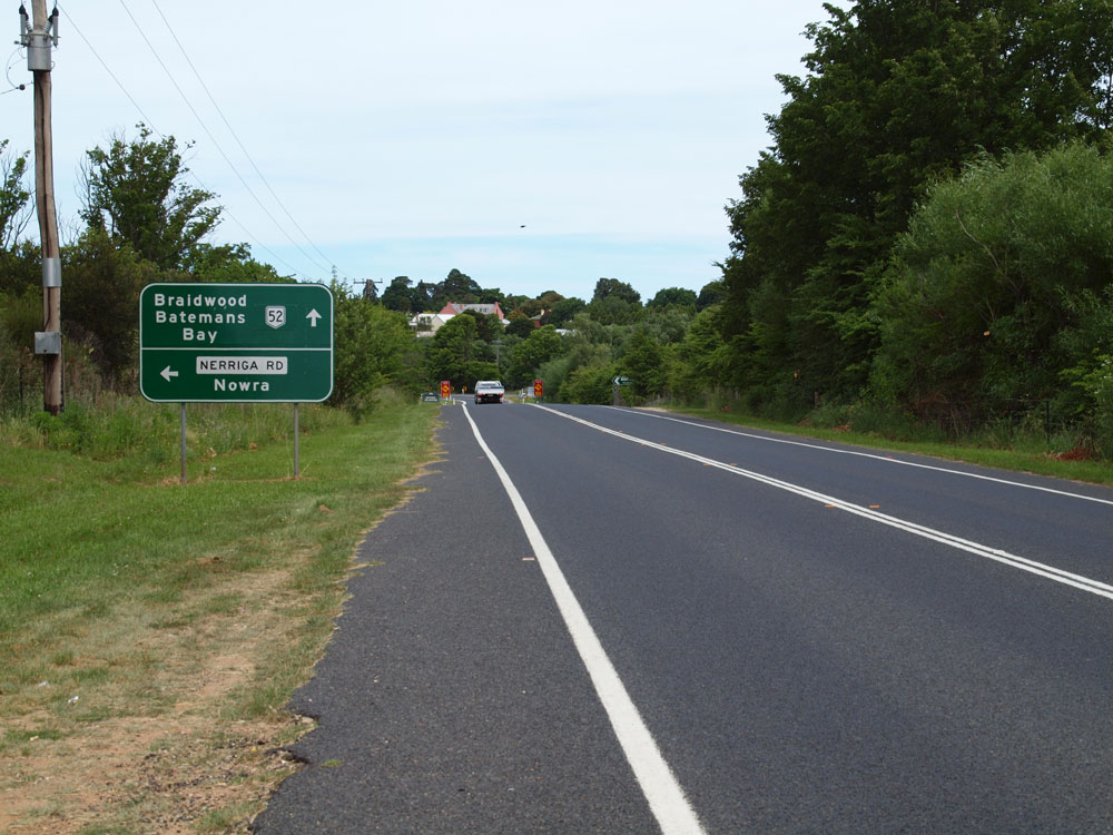
AD sign westbound on Kings Highway approaching the junction with Nerriga Road on the northern outskirts of Braidwood. Nerriga Road forms part of Main Road No. 92 which has recently been completely reconstructed and sealed between Nerriga and Nowra, providing an alternative route from the Shoalhaven and Illawarra to Canberra and the southern tablelands. Source: Peter Renshaw, November 2011. |
 |
AD sign southbound on Nerriga Road approaching the junction with Kings Highway on the northern outskirts of Canberra. Source: Peter Renshaw, November 2011. |
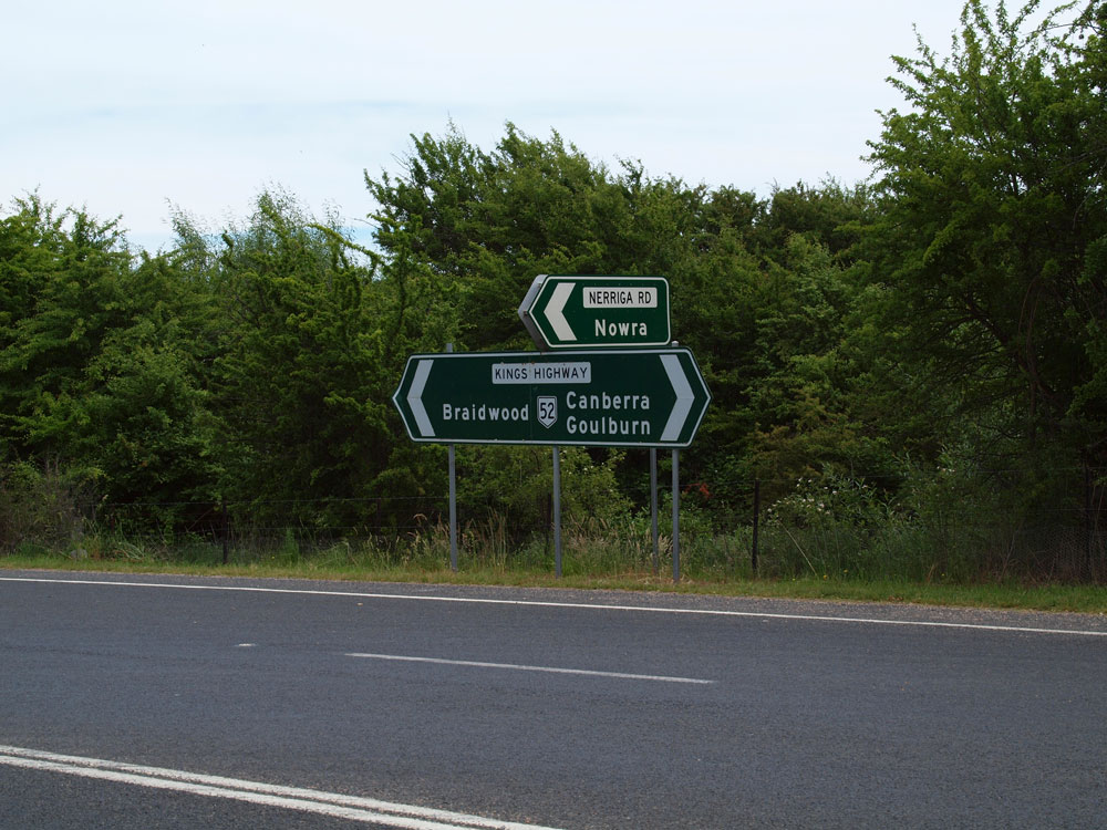 |
ID sign assembly at the junction of Kings Highway & Nerriga Road, Braidwood. Source: Peter Renshaw, November 2011. |
 |
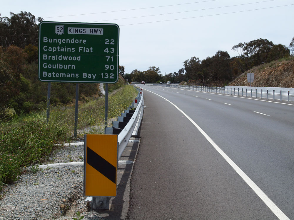
Alpha-numeric-ready AD sign eastbound on Kings Highway approaching Nerriga Road on the northern outskirts of Braidwood. Note how 'Batemans Bay' is spread over two lines to reduce the sign width. Source: Peter Renshaw, November 2011. |
 |
RD sign facing westbound traffic as you leave Braidwood. Source: Peter Renshaw, November 2011. |
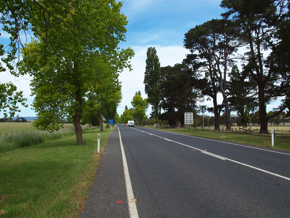 |
Looking southeast along the picturesque avenue of trees near Braidwood Showground. Source: Peter Renshaw, November 2011. |
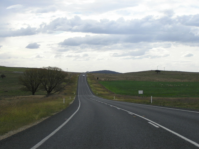 |
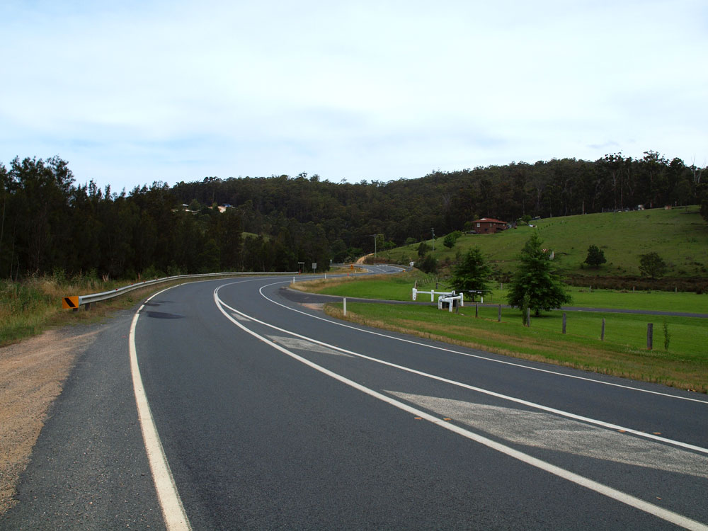
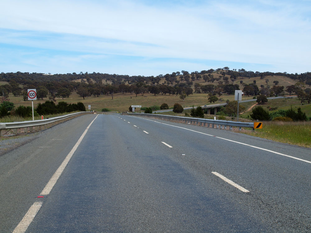
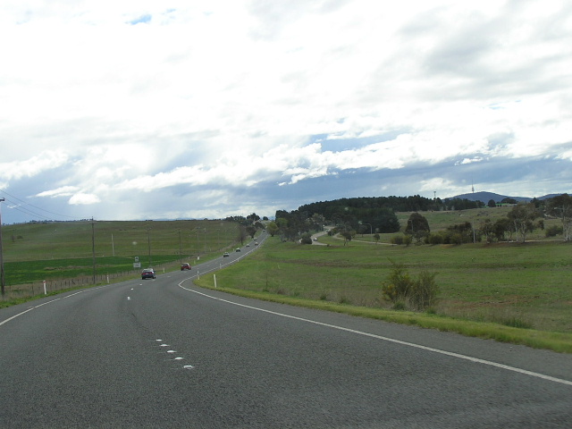
Rolling country, looking west approximately 7km west of Braidwood. Photo taken: April 2005. |
 |
Kings Highway looking southeast from the junction with Larbert Road, 9km northwest of Braidwood. Source: Peter Renshaw, November 2011. |
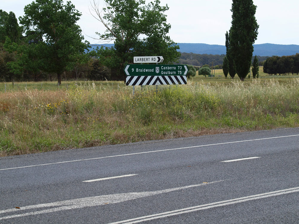 |
Fingerboard signs at the junction of Kings Highway & Larbert Road, 9km northwest of Braidwood. Source: Peter Renshaw, November 2011. |
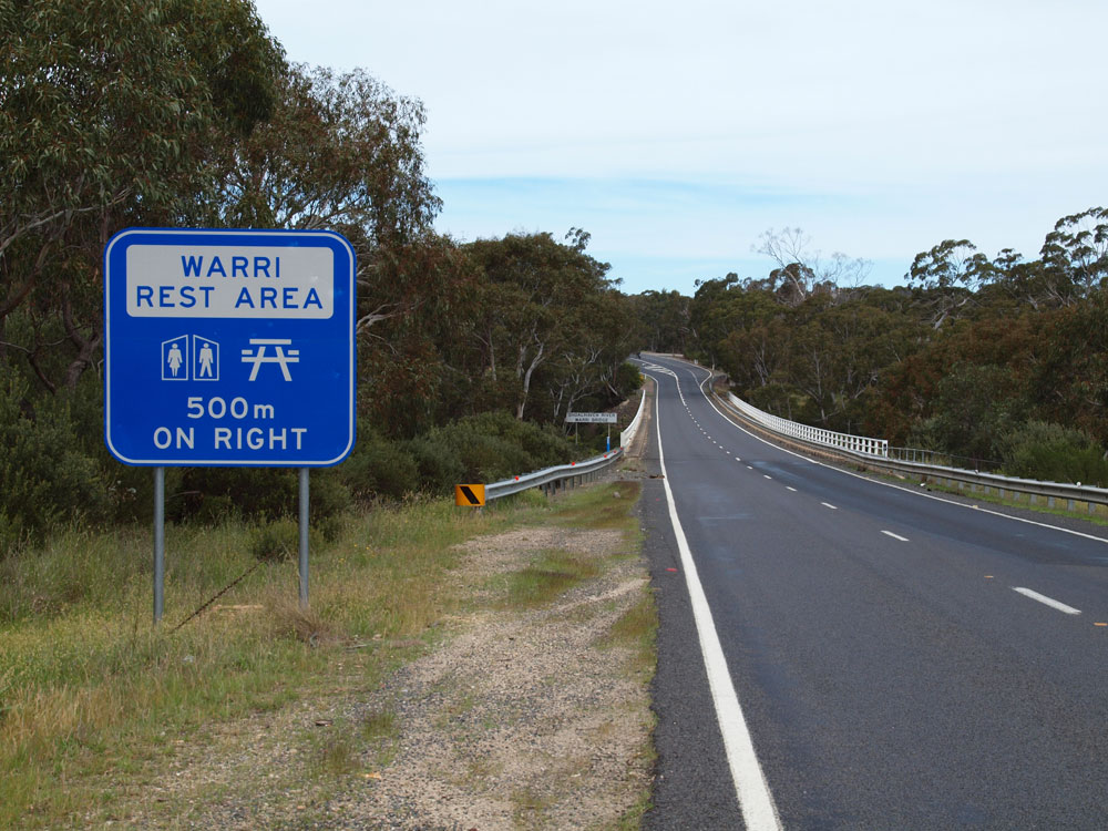 |
Kings Highway looking southeast across Warri Bridge over the Shoalhaven River, 13km northwest of Braidwood. Source: Peter Renshaw, November 2011. |
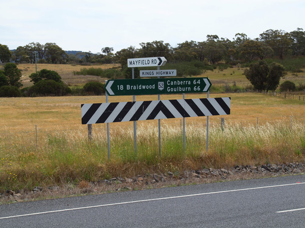 |
Fingerboard signs at the junction of Kings Highway & Mayfield Road, 18km northwest of Braidwood. Source: Peter Renshaw, November 2011. |
|
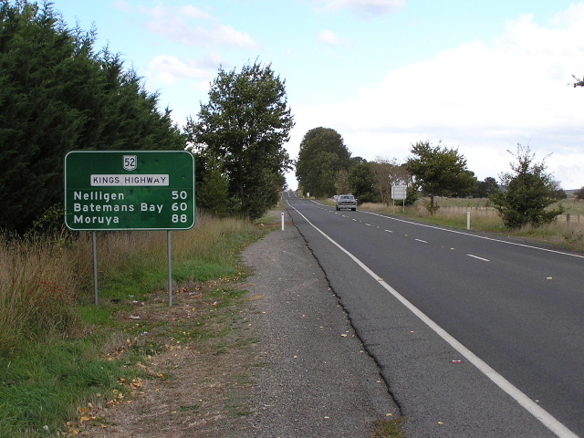
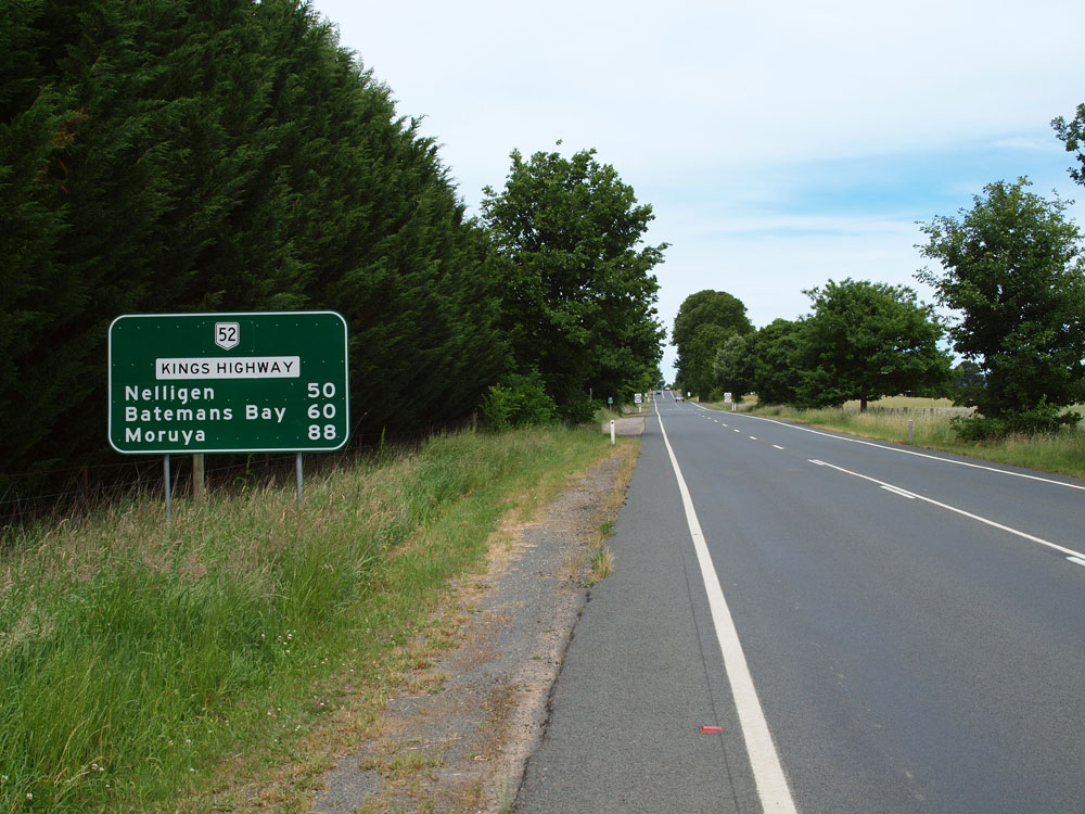
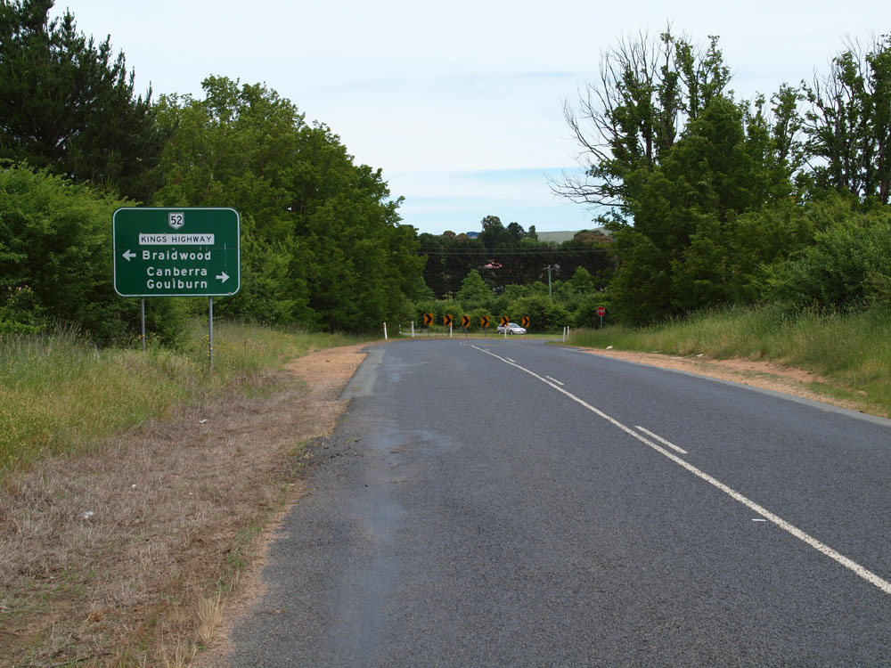
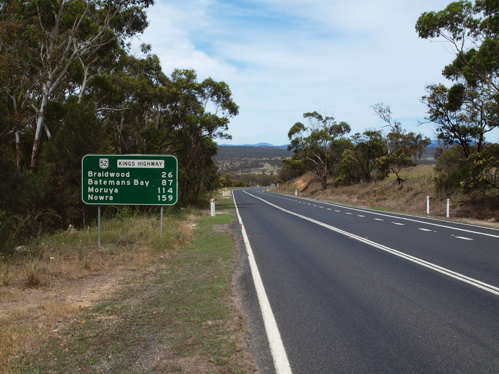
Old and new RD signs southeastbound on Kings Highway near the junction with Braidwood Road (Main Road No. 79), 26km northwest of Braidwood. Note the change in design for the new sign with the route marker placed next to the road name. Top photo: April 2005. Bottom photo: Peter Renshaw, November 2011. |
 |
Older (1990s) AD sign northwestbound on Kings Highway approaching the junction with Braidwood Road (Main Road No. 79) at the locality of Doughboy, 26km northwest of Braidwood. Source: Peter Renshaw, November 2011. |
 |
Dodgy ID signs at the junction of Kings Highway & Braidwood Road, Doughboy. The white sign that looks similar to a kilometre plate is some kind of maintenance marker. Source: Peter Renshaw, November 2011. |
 |
New, alpha-numeric-ready AD sign eastbound on Kings Highway approaching the junction with Braidwood Road, Doughboy. Note the omission of the road name patch - perhaps the name 'Braidwood Road' is not yet official? Source: Peter Renshaw, November 2011. |
  |
Old and new RD signs westbound on Kings Highway at Doughboy. Again the only difference between the signs is the placement of the route marker. Top photo: April 2005. Bottom photo: Peter Renshaw, November 2011. |
 |
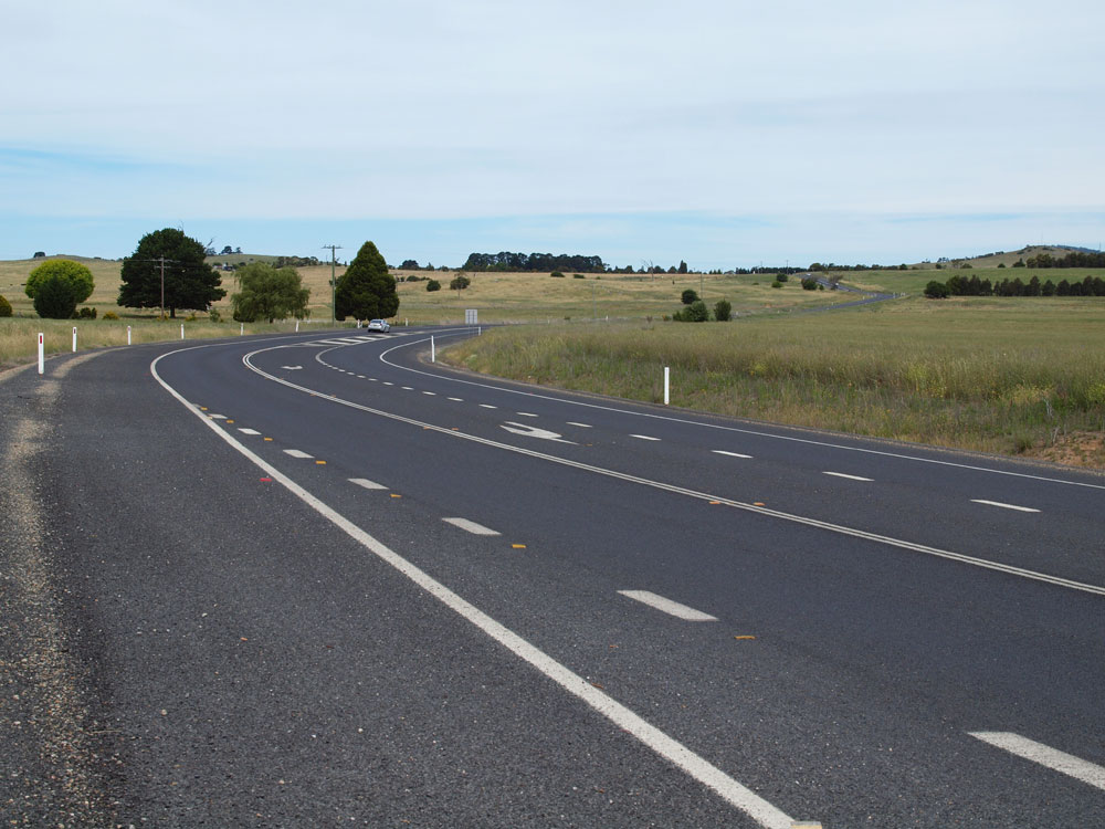
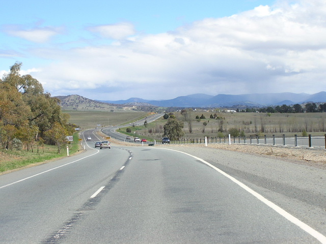
More rolling hillsides closer to Bungedore. April 2005. |
  |
Old and new RD signs eastbound on Kings Highway as you leave Bungendore. Thank god they fixed the incorrect route shield on the older sign. Top photo: April 2005. Bottom photo: Peter Renshaw, November 2011. |
 |
Looking east into Bungedore. April 2005. |
 |
Incorrect NR51 shield on a fingerboard in Bungedore. April 2005. |
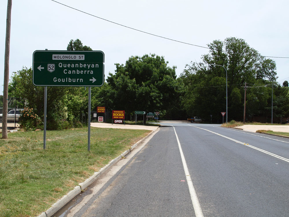 |
AD sign westbound on Malbon Street (NR52) approaching the junction with Molonglo Street in Bungendore. NR52 turns left here to head to Queanbeyan and Canberra. Source: Peter Renshaw, November 2011. |
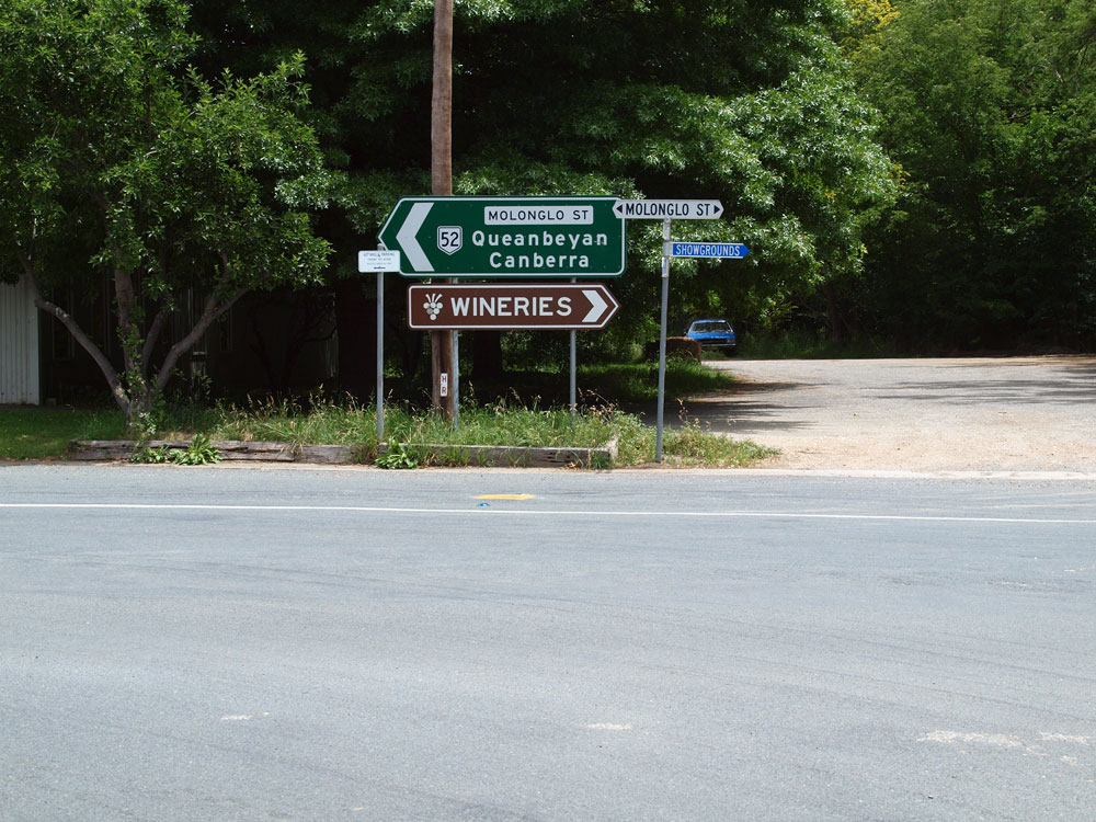  |
ID signs at the junction of Malbon & Molonglo Streets in Bungendore. Note the use of the local street names rather than the 'Kings Highway' name on these signs, same as in Braidwood. Source: Peter Renshaw, November 2011. |
 |
NR52 shield on Molonglo St southbound approaching Bungendore Road & Gibraltar Street, Bungedore. The NR52 junction is actually at the next intersection so technically this sign should say 'To NR52'. Photo taken: October 2004. |
  |
Old and new AD signs southbound on Molonglo Street approaching the junction with Malbon Street, Bungendore. The newer sign is unfortunately quite dodgy! Top photo: April 2005. Bottom photo: Peter Renshaw, November 2011. |
 |
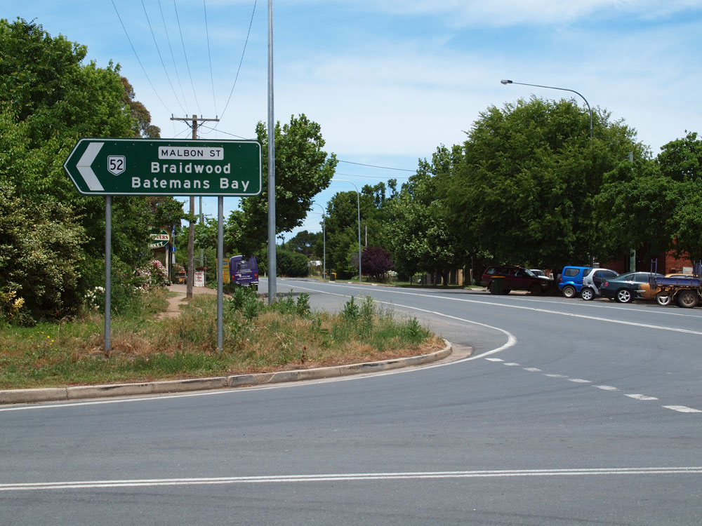
AD sign northbound on Molonglo Street (Kings Highway), approaching the junction with Malbon Street, where Kings Highway/National Route 52 turns right in Bungendore. Note the use of the local street names on signage rather than the Kings Highway name. Source: Peter Renshaw, November 2011. |
 |
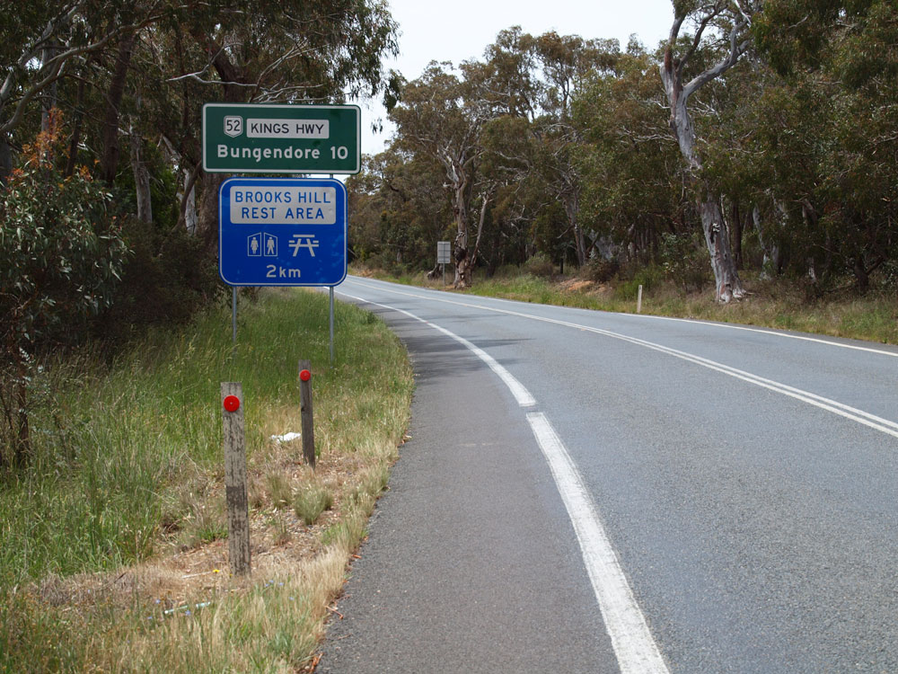
Kings Highway looking west near the crest of Brooks Hill, 2km east of the HQJOC roundabout, where the highway first crosses into the ACT. Source: Peter Renshaw, November 2011. |
 |
Dodgy RD sign eastbound on Kings Highway as you leave the HQJOC roundabout. This sign was designed by the ACT, however the rest area sign below is clearly a NSW design. Source: Peter Renshaw, November 2011. |
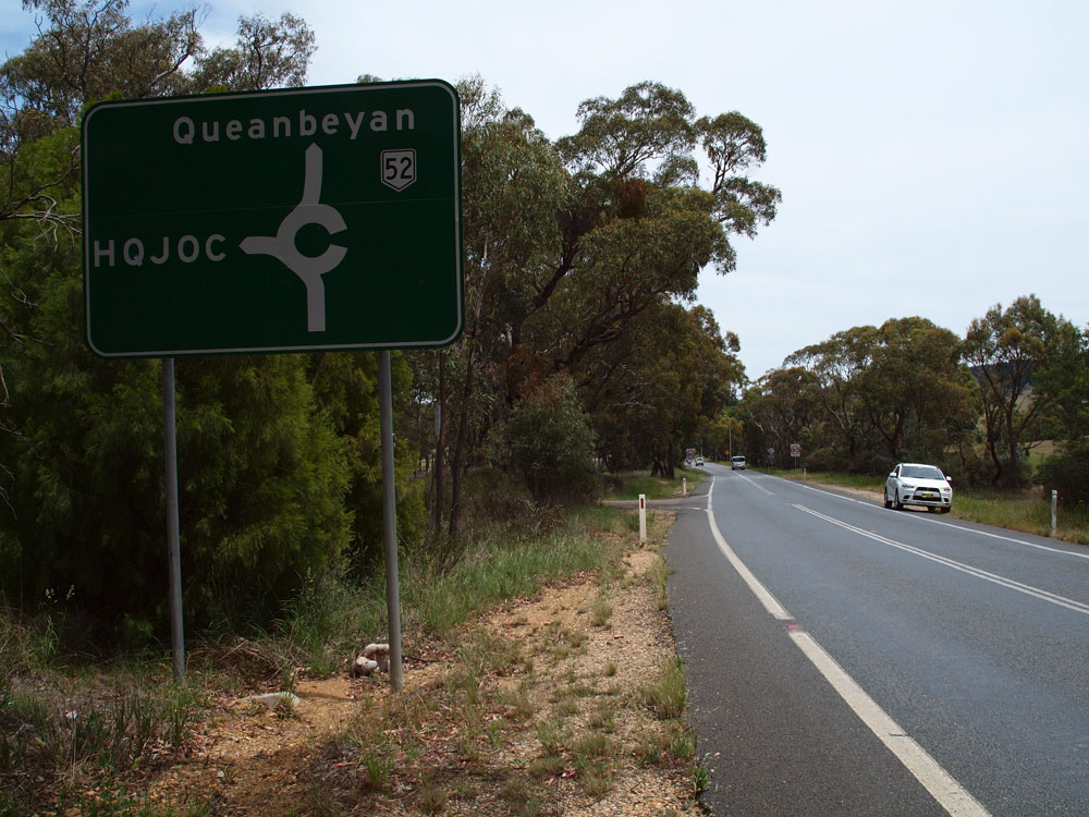 |
Dodgy AD sign westbound on Kings Highway approaching the HQJOC roundabout, 15km east of Queanbeyan. Note the omission of reference to Canberra, which is shown on every other relevant sign since Batemans Bay! Source: Peter Renshaw, November 2011. |
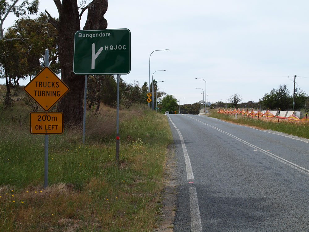 |
Even dodgier AD sign eastbound on Kings Highway approaching the HQJOC roundabout. Note the missing NR52 shield. Source: Peter Renshaw, November 2011. |
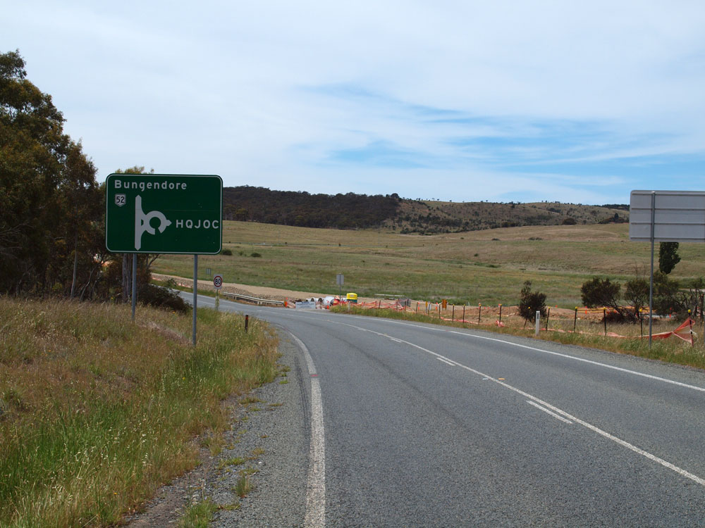 |
Dodgy looking AD sign (well, we are back in the ACT after all) eastbound on Kings Highway approaching the HQJOC roundabout. Source: Peter Renshaw, November 2011. |
 |
RD sign westbound on Kings Highway near the HQJOC roundabout, 15km east of Queanbeyan. This section of the highway is about to be bypassed by the 'Southern Deviation' under construction across Sparrow Hill. Source: Peter Renshaw, November 2011. |
 |
Kings Highway looking west towards the bridges over the Goulburn-Canberra railway line and the Molonglo River as the highway crosses from the ACT into NSW at Burbong. Source: Peter Renshaw, November 2011. |
 |
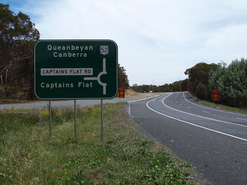
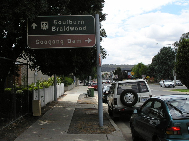
RD sign eastbound on Kings Highway near the junction with Captains Flat Road, 4km east of Queanbeyan. Note the incorrect route marker - it should, of course, be a National Route shield, not a State Route shield. Source: Peter Renshaw, November 2011. |
  |
Top: Old, non-standard AD sign dating from the 1990s, westbound on Kings Highway approaching the junction with Captains Flat, 4km east of Queanbeyan. Bottom: Brand new, alpha-numeric-ready diagrammatic AD sign that replaced the above sign when the roundabout at Captains Flat Road was constructed in 2009/10. |
  |
RD sign heading east from Queanbeyan on the old (top) and new (bottom) alignments of Kings Highway. The deviation of the highway between Thurallily Street and Regent Drive was opened in 2010. Top photo: Sam Laybutt, October 2004. Bottom photo: Peter Renshaw, November 2011. |
 |
Incorrect National Highway 51 shields at Atkinson St, Queanbeyan. Oct 2004. |
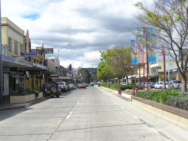 |
Looking east through Queanbeyan town centre. Oct 2004. |
 |
AD sign acting as an ID sign at the junction of Farrer Place (NR52), Monaro Street (NR52) & Lowe Street, Queanbeyan. Source: Peter Renshaw, November 2011. |
 |
Blackl AD sign northbound on Lowe St approaching the Kings Hwy in Queanbeyan. Feb 2006 |
 |
Black and brown painted AD sign approaching Lowe St. Better photo coming soon. Feb 2006. |
 |
Black ID sign dating from 1982 at Ross Road, Queanbeyan. Oct 2004. |
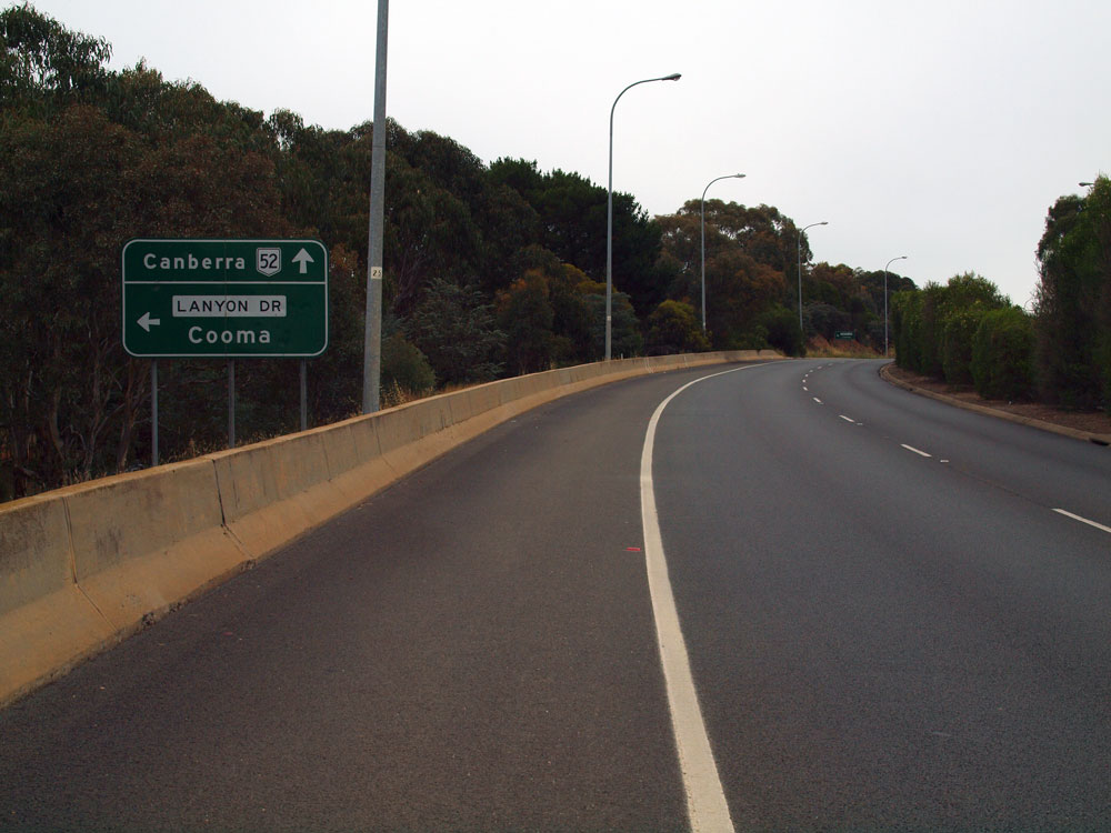 |
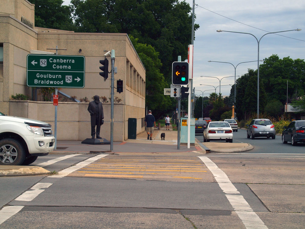
AD sign westbound on Canberra Avenue approaching the junction with Lanyon Drive, Queanbeyan. The signs at this junction confirm that NR52 does indeed continue west along Canberra Avenue into the ACT rather than via Lanyon Drive. Source: Peter Renshaw, November 2011. |
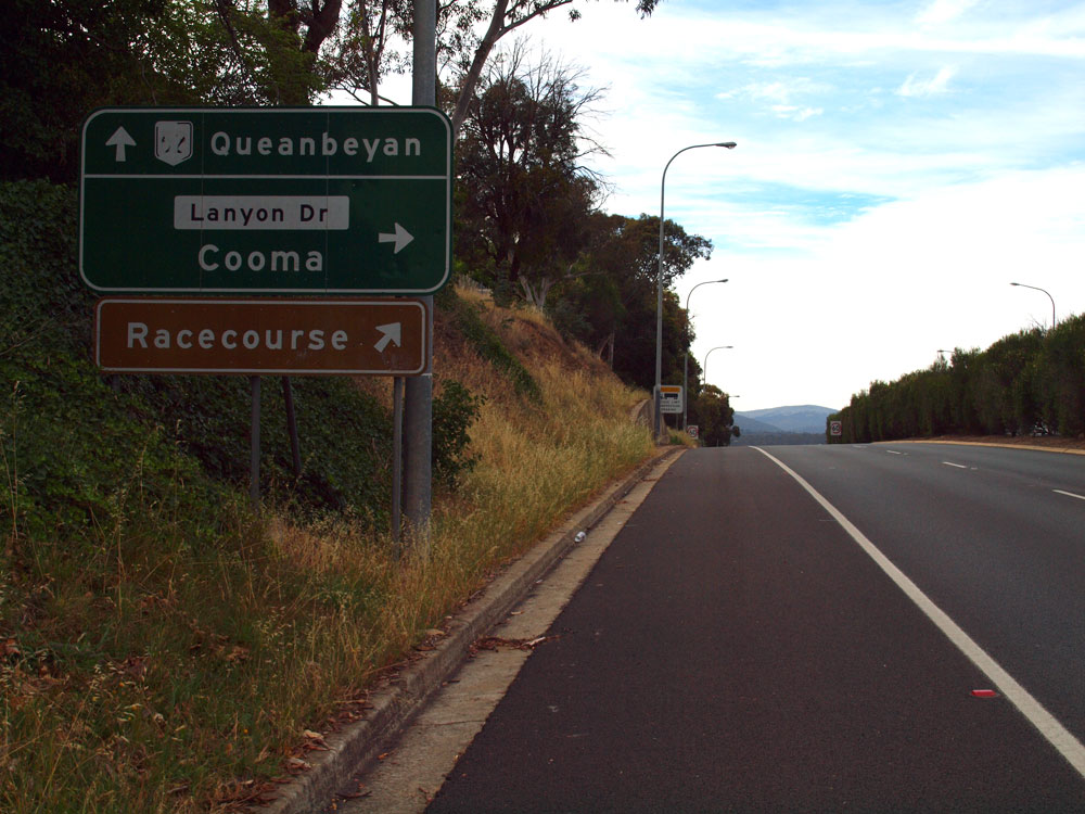 |
AD sign eastbound on Canberra Avenue approaching the junction with Lanyon Drive, Queanbeyan. Note the peeling lettering on the route marker. Also note the dodgy lower case lettering on the road name patch. Source: Peter Renshaw, November 2011. |
 |
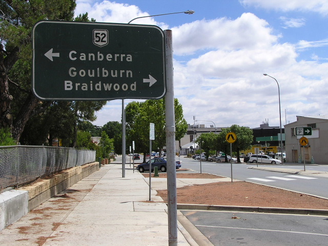
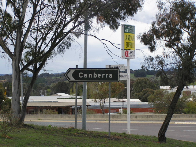
Kings Highway RD sign heading west from Lanyon Drive. Better photo coming soon. Oct 2004. |
 |
ACT style black ID sign at Kealman Rd. Oct 2004. |
 |
Black painted AD signs at Stephens Rd. Oct 2004. |
 |
Stray NR52 shield on the former alignment 1974-1982 of NR52 at the intersection of North Rd & Uriarra Rd. Oct 2004. |
 |
Canberra Ave eastbound approaching the Norse Road interchange and railway overpass at the NSW/ACT Border. Oct 2004. |
 |
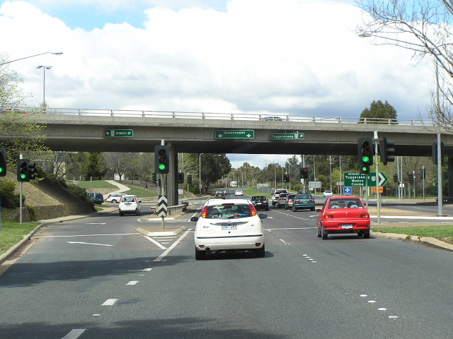
Canberra Ave looking west between Queanbeyan and Fyshwick. Oct 2004. |
 |
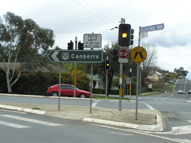
Canberra Ave looking east the beginning of NR52 in Fyshwick. Note no mention of NR52. Oct 2004. |
Photos of NR52 evidence on Lanyon Drive |
|
 |
Recently duplicated section of Lanyon Drive looking south towards Tomspitt Drive. Oct 2004. |
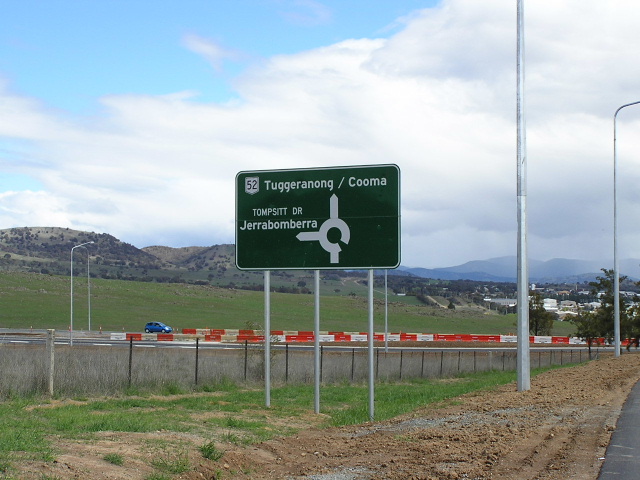 |
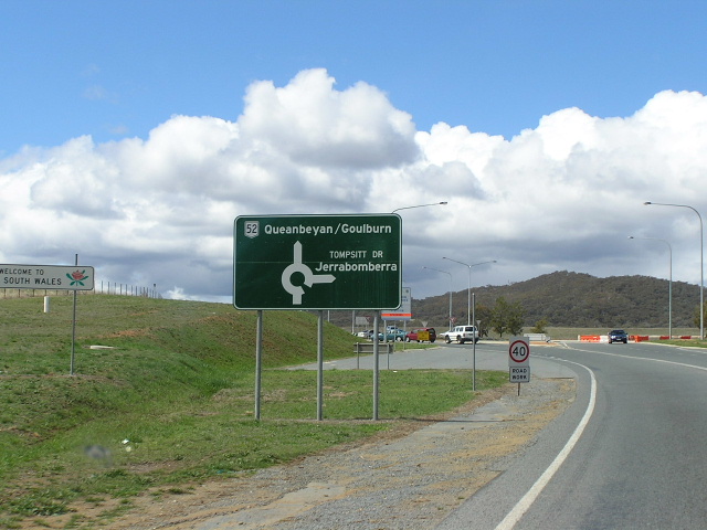
NR52 shield on AD sign approaching Tomspitt Drive. Oct 2004. |
 |
NR52 RD sign heading north from Tomspitt Drive. Oct 2004. |
 |
NR52 AD sign northbound approaching Tomspitt Drive. Oct 2004. |
 |
Railway overpass at the NSW/ACT Border. Oct 2004. |
 |
NR52 shield on an ID sign at Sheppard St, Hume, ACT. Oct 2004. |
 |
ID sign at the Monaro Hwy/Lanyon Drive junction, about 300m from the previous photo, shoing no NR52 shield. July 2004. |
Last updated 13 December 2012 © Ozroads 2003-2012. |